Àird Beinusbac

Coastal Marsh, Saltings in Ross-shire

Scotland

Àird Beinusbac

Wild camp at the head of Tamana Siar
Wild camp at the head of Tamana Siar Credit: Peter Edwards

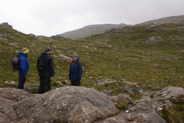
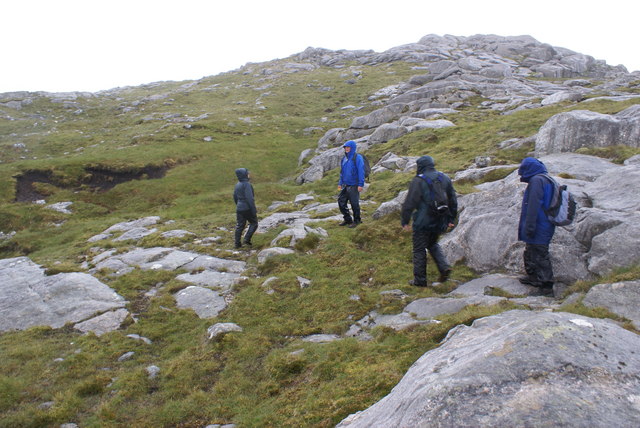
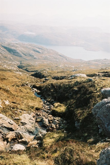
Àird Beinusbac is a coastal marsh located in Ross-shire, Scotland. It is known for its stunning saltings, which are vast stretches of land that are regularly flooded by the tides. The marsh is situated along the coastline, providing a unique habitat for various plant and animal species.

Covering an area of approximately 100 hectares, Àird Beinusbac is characterized by its diverse vegetation. Salt-tolerant plants such as sea lavender, sea aster, and sea purslane thrive in this marshland. These plants not only provide an aesthetically pleasing landscape but also serve as crucial habitats for numerous bird species.

The marsh is a popular destination for birdwatchers due to its rich avian diversity. During the spring and autumn migration seasons, bird enthusiasts can expect to spot a wide range of species, including waders, ducks, and geese. Some of the notable bird species that can be found in Àird Beinusbac include curlews, oystercatchers, redshanks, and teal.

In addition to its ecological significance, Àird Beinusbac also holds historical value. The marsh has been used for centuries as grazing land for livestock, particularly sheep and cattle. This traditional land management practice has helped to maintain the marsh's unique ecosystem, as grazing prevents the dominance of certain plant species and promotes the growth of others.

Overall, Àird Beinusbac in Ross-shire offers visitors a chance to immerse themselves in the beauty of a coastal marshland, providing a haven for wildlife and a glimpse into Scotland's natural and cultural heritage.

If you have any feedback on the listing, please let us know in the comments section below.

Àird Beinusbac Images

Images are sourced within 2km of 58.070332/-7.0507418 or Grid Reference NB0220. Thanks to Geograph Open Source API. All images are credited.

Wild camp at the head of Tamana Siar
Mullach na h-Airde Bige Second HuMP around the northern edge of Loch Resort on an Alan Holmes RIB trip. What a brilliant day.
Name: Mullach na h-Airde Bige
Hill number: 4947
Height: 182m / 597ft
Area: 24A: Lewis and Nearby Islands
Class: Hu,1
Grid ref: NB026188 (est)
Drop: 128m
Col: 54m  NB044194
Mullach na h-Airde Bige
Second HuMP around the northern edge of Loch Resort on an Alan Holmes RIB trip. What a brilliant day. Name: Mullach na h-Airde Bige Hill number: 4947 Height: 182m / 597ft Area: 24A: Lewis and Nearby Islands Class: Hu,1 Grid ref: NB026188 (est) Drop: 128m Col: 54m NB044194
Steep Climb From Landing Point For Mullach na h-Airde Bige Our boatman Neil was a little worried by the steep climb up from our landing point. It proved to be no problem for Douglas Law, Alan Holmes, George Morl, Michael Earnshaw, Jim Bloomer, Martin Richardson, Mark Smith, Richard Tibbetts and Colin Crawford who were soon on top of the HuMP, Mullach na h-Airde Bige.
Steep Climb From Landing Point For Mullach na h-Airde Bige
Our boatman Neil was a little worried by the steep climb up from our landing point. It proved to be no problem for Douglas Law, Alan Holmes, George Morl, Michael Earnshaw, Jim Bloomer, Martin Richardson, Mark Smith, Richard Tibbetts and Colin Crawford who were soon on top of the HuMP, Mullach na h-Airde Bige.
Eoranish More Bagged on a RIB trip with 8 others to the HuMPs north of Loch Resort. Looking west towards Mullach na h-Airde Bige.
Name: Eoranish More
Hill number: 104363
Height: 158m / 518ft
Area: 24A: Lewis and Nearby Islands
Class: 1
Grid ref: NB032188 (est)
Drop: 79m
Col: 79m
Eoranish More
Bagged on a RIB trip with 8 others to the HuMPs north of Loch Resort. Looking west towards Mullach na h-Airde Bige. Name: Eoranish More Hill number: 104363 Height: 158m / 518ft Area: 24A: Lewis and Nearby Islands Class: 1 Grid ref: NB032188 (est) Drop: 79m Col: 79m
Crossing Damp Moorland Crossing damp moorland after descending from Eoranish More and heading towards Aineabhal.
Crossing Damp Moorland
Crossing damp moorland after descending from Eoranish More and heading towards Aineabhal.
Rubha Geodha nan Sgarbh The entrance to Loch Tealasvay is well concealed close to the right of the picture.
Rubha Geodha nan Sgarbh
The entrance to Loch Tealasvay is well concealed close to the right of the picture.
House and Outbuildings at Tamnabhaigh
Loch Tamnabhaigh Aird Bheag to left of image and Tamana Sear to right
Loch Tamnabhaigh
Aird Bheag to left of image and Tamana Sear to right
Loch Cheann Chuisil This sheltered loch offers anchorage during stormy weather
Loch Cheann Chuisil
This sheltered loch offers anchorage during stormy weather
Sgaladal on the east ridge of Griomabhal
Sgaladal
on the east ridge of Griomabhal
Griomabhal East Ridge Summit on the skyline
Griomabhal East Ridge
Summit on the skyline
Burn flowing into Gleann Sgaladail
The head of Gleann Sgaladail The lower picture shows ruined shielings with a burn running through.
The head of Gleann Sgaladail
The lower picture shows ruined shielings with a burn running through.
Ruined shielings in Gleann Sgaladail
Gleann Sgaladail burn meets Loch Tamnabhaigh
Moorland above Loch Tamnabhaigh
Mocleitean from Aird Bheag with Eilean Mhealasta in the background
Bridge over Abhainn Tamnabhaig
Show me another place!

Àird Beinusbac is located at Grid Ref: NB0220 (Lat: 58.070332, Lng: -7.0507418)

Unitary Authority: Na h-Eileanan an Iar

Police Authority: Highlands and Islands

What 3 Words

///edit.careful.hacksaw. Near Tarbert, Na h-Eileanan Siar

Related Wikis

Mealista

Mealista (Scottish Gaelic: Mealasta) was a township in the west of the Isle of Lewis. It is currently largely uninhabited due to the Highland Clearances...

Game pieces of the Lewis chessmen hoard

Game pieces of the Lewis chessmen hoard include the ninety-three game pieces of the Lewis chessmen hoard found on the Isle of Lewis in the Outer Hebrides...

Eilean Mhealasta

Eilean Mhealasta (Mealista Island) is an uninhabited island off the west coast of Lewis in the Outer Hebrides of Scotland. It takes its name from Mealista...

Scarp, Scotland

Scarp (Scottish Gaelic: An Sgarp) is an uninhabited island in the Outer Hebrides of Scotland, west of Hushinish on Harris. Once inhabited, the island was...

Nearby Amenities

Located within 500m of 58.070332,-7.0507418
Created By: dmgroom_coastlines
Lat/Long: 58.06979/-7.05433
Created By: dmgroom_coastlines
Lat/Long: 58.06968/-7.05458
Created By: dmgroom_coastlines
Lat/Long: 58.06956/-7.05483
Created By: dmgroom_coastlines
Lat/Long: 58.06943/-7.05507
Cul Beag
Natural: bay
Lat/Long: 58.0712879/-7.0488535
Mul na h-Aibhne Duibhe
Natural: bay
Lat/Long: 58.0715262/-7.0458923
The data included in this document is from www.openstreetmap.org. The data is made available under ODbL.

Have you been to Àird Beinusbac?

Leave your review of Àird Beinusbac below (or comments, questions and feedback).