Am Faoileann

Coastal Marsh, Saltings in Argyllshire

Scotland

Am Faoileann

Old CEL Roller at West Hynish
Old CEL Roller at West Hynish Credit: Mike Shields

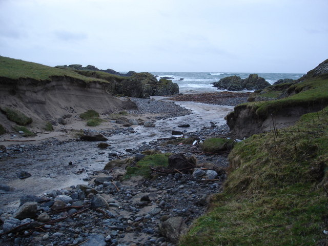
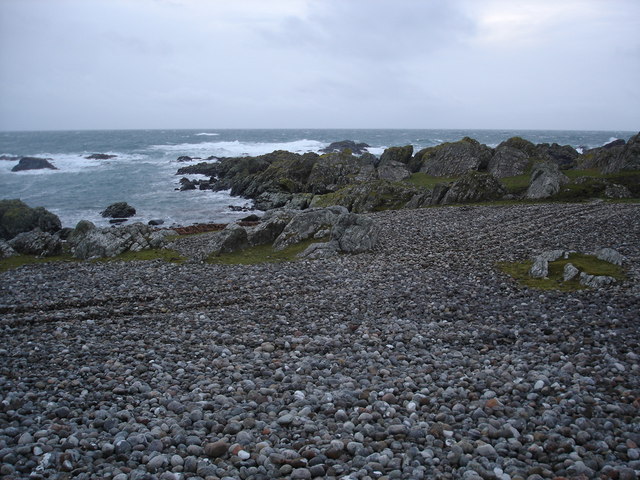
Am Faoileann, located in Argyllshire, Scotland, is a coastal marshland characterized by its unique and diverse ecosystem. Stretching along the coastline, it encompasses an area of approximately [insert size] and is known for its rich biodiversity and stunning natural beauty.

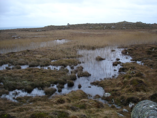
The marshland is a complex network of saltwater marshes, mudflats, and saltings, providing a haven for a wide range of plant and animal species. The dominant vegetation consists of salt-tolerant plants such as saltmarsh grasses, samphire, and sea lavender that thrive in the saline conditions. These plants create a lush and vibrant landscape, particularly during the summer months when they are in full bloom.

Am Faoileann is home to numerous bird species, making it a popular destination for birdwatchers and nature enthusiasts. The marshes provide an ideal habitat for wading birds such as curlews, oystercatchers, and redshanks, which can be seen feeding on the mudflats during low tide. The area also serves as an important breeding ground for various species of seabirds, including terns and gulls.

The marshland is not only significant for its ecological value but also for its role in flood protection. The saltmarshes and saltings act as a natural buffer, helping to absorb excess water during high tides or storm events, thereby reducing the risk of coastal flooding in surrounding areas.

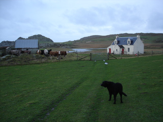
Am Faoileann offers visitors the opportunity to explore its unique landscape through a network of well-maintained footpaths and observation points. It provides a peaceful and tranquil setting, allowing visitors to immerse themselves in the sights and sounds of nature while enjoying breathtaking views of the surrounding coastline and mountains.

If you have any feedback on the listing, please let us know in the comments section below.
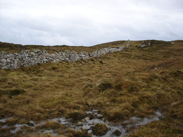
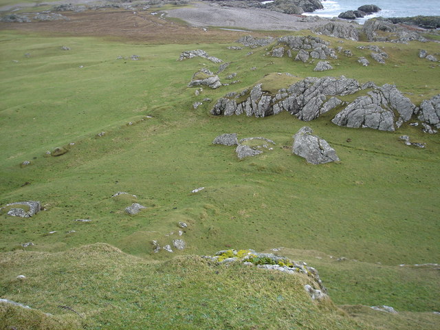
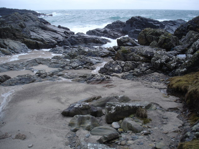
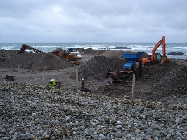
Am Faoileann Images

Images are sourced within 2km of 56.445033/-6.9342553 or Grid Reference NL9639. Thanks to Geograph Open Source API. All images are credited.

Old CEL Roller at West Hynish
Coast near West Hynish Nice deep layer of rather pungent seaweed washed ashore here.
Coast near West Hynish
Nice deep layer of rather pungent seaweed washed ashore here.
Dry stone dyke on Beinn Hynish A very popular location for wall is along the ridge line of hills, and in terms of Tiree this is a big as it gets.
Dry stone dyke on Beinn Hynish
A very popular location for wall is along the ridge line of hills, and in terms of Tiree this is a big as it gets.
Near the fort When I was here I was convinced that this was the location of the fort on the map.  The high ground on either sided and the parallel ridges remains of ditch systems.      Although it could be that the hill I'm standing on was the site.
Near the fort
When I was here I was convinced that this was the location of the fort on the map. The high ground on either sided and the parallel ridges remains of ditch systems. Although it could be that the hill I'm standing on was the site.
Port Snoig This is typical of this section of coastline.  Small sandy beaches and lots of rocks.
Port Snoig
This is typical of this section of coastline. Small sandy beaches and lots of rocks.
Pebble Quarry The pebbles are crushed and used as aggregate.
Pebble Quarry
The pebbles are crushed and used as aggregate.
Eilean Mòr Although give the name "big island" it is a bit of a misnomer, a skerry would be a better classification.
Eilean Mòr
Although give the name "big island" it is a bit of a misnomer, a skerry would be a better classification.
Linne Thorramhuill A very heavily reeded lochan, or maybe just very wet bog.  The whole area is rather damp as it seems to be the source of several rivers.
Linne Thorramhuill
A very heavily reeded lochan, or maybe just very wet bog. The whole area is rather damp as it seems to be the source of several rivers.
Road to the radar The access road to the NAT radar on the summit of Carnan Mòr.
Road to the radar
The access road to the NAT radar on the summit of Carnan Mòr.
Millport house and barn
Allt Ban as it reaches the sea
Pebble beach on the south coast of Tiree
Natural arch near An Snoig
There's never a gate when you really need one
Little gulley leading to a pebble beach
Moorland below Beinn Hynish
View across the moorland to Beinn Hynish A few rocky outcrops in this area.
View across the moorland to Beinn Hynish
A few rocky outcrops in this area.
NATS road Not as in the political Scot Nats, but rather the National Air Traffic Services and their road to the radar station.
NATS road
Not as in the political Scot Nats, but rather the National Air Traffic Services and their road to the radar station.
Show me another place!

Am Faoileann is located at Grid Ref: NL9639 (Lat: 56.445033, Lng: -6.9342553)

Unitary Authority: Argyll and Bute

Police Authority: Argyll and West Dunbartonshire

What 3 Words

///obviously.maternal.narrow. Near Scarinish, Argyll & Bute

Related Wikis

Mannal

Mannal is a coastal hamlet on the west side of Hynish Bay, on the island of Tiree, Scotland. The township of Mannal lies on the southwest corner of Tiree...

Tiree Music Festival

Tiree Music Festival is a Scottish folk music festival held annually on the Island of Tiree in the Inner Hebrides. The festival was founded in 2010 by...

Tiree Airport

Tiree Airport (Scottish Gaelic: Port-adhair Thiriodh) (IATA: TRE, ICAO: EGPU) is located 2.5 nautical miles (4.6 km; 2.9 mi) north northeast of Balemartine...

Scarinish

Scarinish (Scottish Gaelic: Sgairinis [ˈs̪kaɾʲɪnɪʃ]) is the main village on the island of Tiree, in the Inner Hebrides of Scotland. It is located on the...

Nearby Amenities

Located within 500m of 56.445033,-6.9342553
Dùn Shiadair
Archaeological Site: tumulus
Historic: archaeological_site
Source: OS7
Lat/Long: 56.4442795/-6.9273865
Power: pole
Lat/Long: 56.4471882/-6.9331557
Power: pole
Lat/Long: 56.4479883/-6.9333542
Power: pole
Lat/Long: 56.4492277/-6.9336646
West Hynish
Capacity: 3
Drinking Water: no
Note: Tiree Croft Site
Power Supply: no
Ref: 10
Surface: grass
Tourism: camp_pitch
Website: https://www.isleoftiree.com/croft-camping
Lat/Long: 56.4449989/-6.9314879
Lòn na Dubh-sgeir
Natural: bay
Lat/Long: 56.4462219/-6.9369128
Port Riseag
Natural: bay
Lat/Long: 56.4460236/-6.9337315
Creag na Feannaige
Natural: rock
Lat/Long: 56.4446082/-6.9311002
Port a' Bhàta
Place: locality
Lat/Long: 56.4431682/-6.927947
Port Ceit
Natural: beach
Lat/Long: 56.44312/-6.9270283
Port Cùl an Dùin
Place: locality
Lat/Long: 56.4432683/-6.9291312
Port a' Mhine
Natural: bay
Lat/Long: 56.4476773/-6.9355148
The data included in this document is from www.openstreetmap.org. The data is made available under ODbL.

Have you been to Am Faoileann?

Leave your review of Am Faoileann below (or comments, questions and feedback).