Camas a' Chapuill
Coastal Marsh, Saltings in Inverness-shire
Scotland
Camas a' Chapuill
The requested URL returned error: 429 Too Many Requests
If you have any feedback on the listing, please let us know in the comments section below.
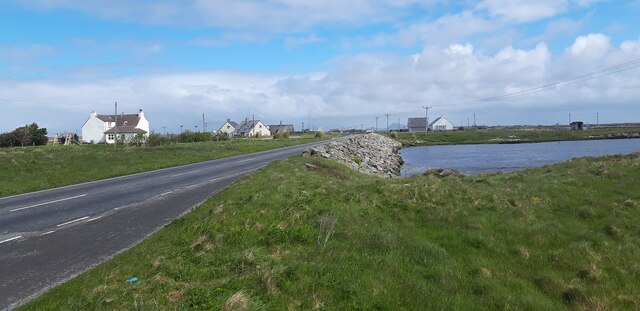
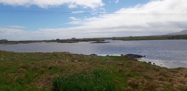
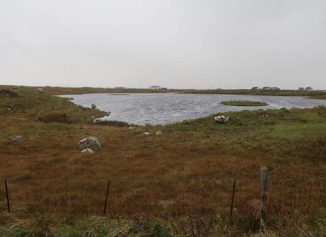
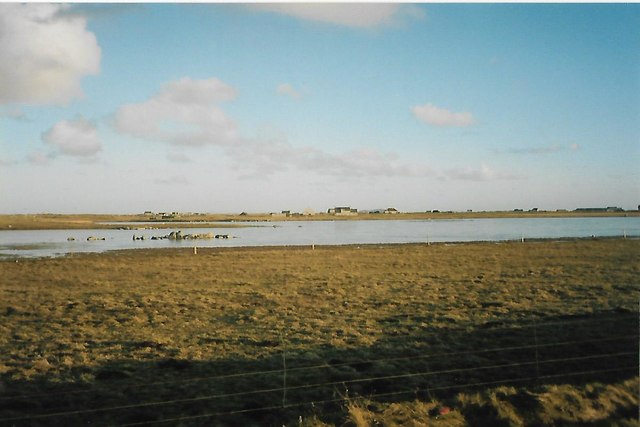
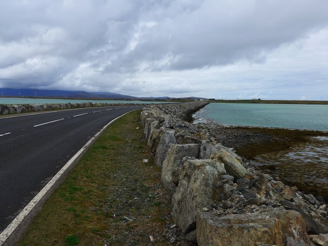
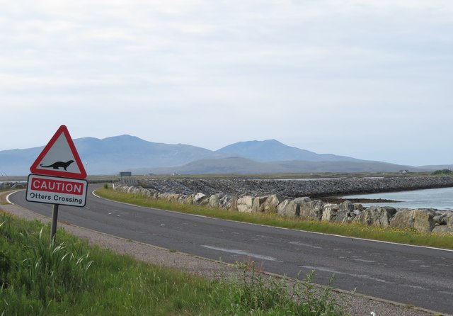
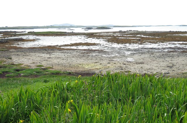
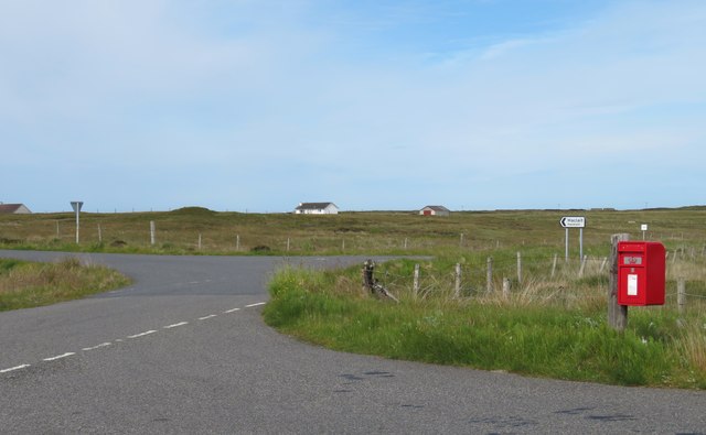
Camas a' Chapuill Images
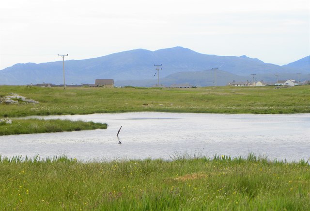
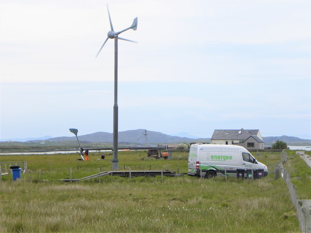
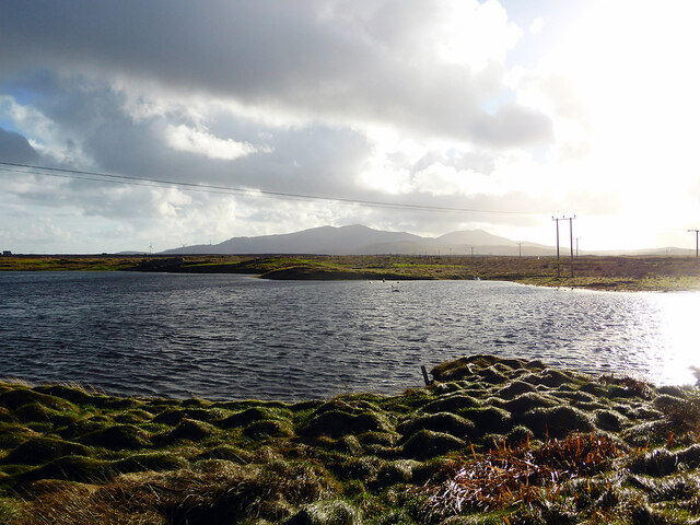
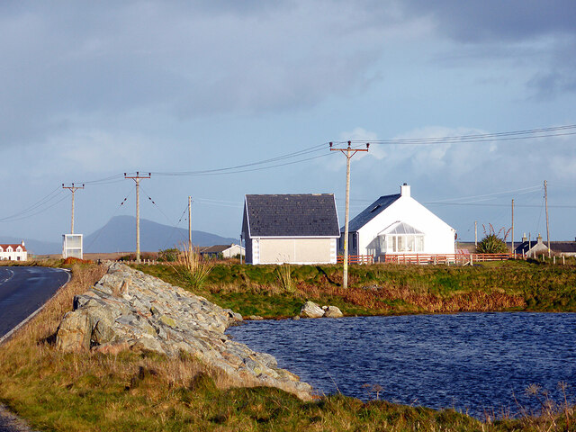
Images are sourced within 2km of 57.404686/-7.3205168 or Grid Reference NF8047. Thanks to Geograph Open Source API. All images are credited.
![Salt marsh at Creagorry/Creag Ghoraidh Directly across the road [A865] from the Creagorry Hotel.](https://s1.geograph.org.uk/geophotos/05/00/21/5002145_2d59f921.jpg)
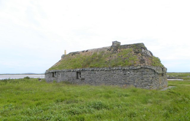
![Ruined croft house, 5-6 Hacklet (Hacleit), in 1995 Looking northeast across upper Loch Chearabhaigh (a sea loch) towards the scattered township of Kilerivagh.
According to local information from Mary Harman in 2018, the house is still there with the mid gable with chimney standing, but the roof is entirely gone. The windows are still clear, and the winnowing hole in the barn at the left hand side of the picture is still there. The telegraph pole behind the house, being redundant is no longer there.
The building probably dates from the 19th century and is Category B listed [<span class="nowrap"><a title="http://portal.historicenvironment.scot/designation/LB18754" rel="nofollow ugc noopener" href="http://portal.historicenvironment.scot/designation/LB18754">Link</a><img style="margin-left:2px;" alt="External link" title="External link - shift click to open in new window" src="https://s1.geograph.org.uk/img/external.png" width="10" height="10"/></span>]. It also appears on the Buildings at Risk Register [<span class="nowrap"><a title="https://www.buildingsatrisk.org.uk/search/keyword/hacklet/event_id/898243/building_name/5-6-hacklet" rel="nofollow ugc noopener" href="https://www.buildingsatrisk.org.uk/search/keyword/hacklet/event_id/898243/building_name/5-6-hacklet">Link</a><img style="margin-left:2px;" alt="External link" title="External link - shift click to open in new window" src="https://s1.geograph.org.uk/img/external.png" width="10" height="10"/></span>].](https://s3.geograph.org.uk/geophotos/05/75/00/5750063_735aba75.jpg)
Camas a' Chapuill is located at Grid Ref: NF8047 (Lat: 57.404686, Lng: -7.3205168)
Unitary Authority: Na h-Eileanan an Iar
Police Authority: Highlands and Islands
What 3 Words
///hindered.swinging.sunblock. Near Balivanich, Na h-Eileanan Siar
Related Wikis

Grimsay (South East Benbecula)
Grimsay, south east of Benbecula is a tidal island of the Outer Hebrides. It is connected to Benbecula by a causeway which carries the B891. In the 2001...

Iochdar
Iochdar (Scottish Gaelic: An t-Ìochdair), also spelled Eochar, is a hamlet and community on the west coast of the island of South Uist, in the Outer Hebrides...

Balgarva
Balgarva (Scottish Gaelic: Baile Gharbhaidh) is a crofting settlement on South Uist in the Outer Hebrides, Scotland. Balgarva is within the parish of South...

Eilean na Cille
Eilean na Cille, south east of Benbecula is an island of the Outer Hebrides connected to Grimsay (South) by a causeway which carries the B891. The road...
Nearby Amenities
Located within 500m of 57.404686,-7.3205168Have you been to Camas a' Chapuill?
Leave your review of Camas a' Chapuill below (or comments, questions and feedback).