Cartwright Point
Coastal Feature, Headland, Point in Kent Canterbury
England
Cartwright Point

Cartwright Point is a prominent coastal feature located in Kent, England. It is classified as a headland and point, jutting out into the English Channel. Situated near the town of Broadstairs, Cartwright Point offers stunning views of the surrounding coastline and is a popular destination for tourists and locals alike.
The headland is characterized by its rugged cliffs, which are composed of chalk and provide a striking contrast against the deep blue waters of the channel. The cliffs at Cartwright Point are known for their dramatic vertical drops and are a haven for birdlife, with several species of seabirds nesting in the crevices. Visitors to the area can often spot gulls, cormorants, and even the occasional peregrine falcon soaring above the cliffs.
Access to Cartwright Point is relatively easy, with a well-maintained footpath leading from Broadstairs along the clifftops. The path offers breathtaking views of the coastline and is a popular spot for walkers and hikers. Along the way, visitors can enjoy the fresh sea air and take in the natural beauty of the area.
At the tip of Cartwright Point, there is a small lookout point with benches, providing a perfect place to rest and take in the panoramic views of the channel. On clear days, it is even possible to see the coast of France in the distance. The point is also a prime location for watching the sunrise or sunset, with the unobstructed horizon creating a picturesque backdrop.
Overall, Cartwright Point is a must-visit destination for nature lovers and outdoor enthusiasts seeking breathtaking coastal scenery in Kent.
If you have any feedback on the listing, please let us know in the comments section below.
Cartwright Point Images
Images are sourced within 2km of 51.373958/1.1209638 or Grid Reference TR1768. Thanks to Geograph Open Source API. All images are credited.


Cartwright Point is located at Grid Ref: TR1768 (Lat: 51.373958, Lng: 1.1209638)
Administrative County: Kent
District: Canterbury
Police Authority: Kent
What 3 Words
///shack.patio.drill. Near Herne Bay, Kent
Nearby Locations
Related Wikis
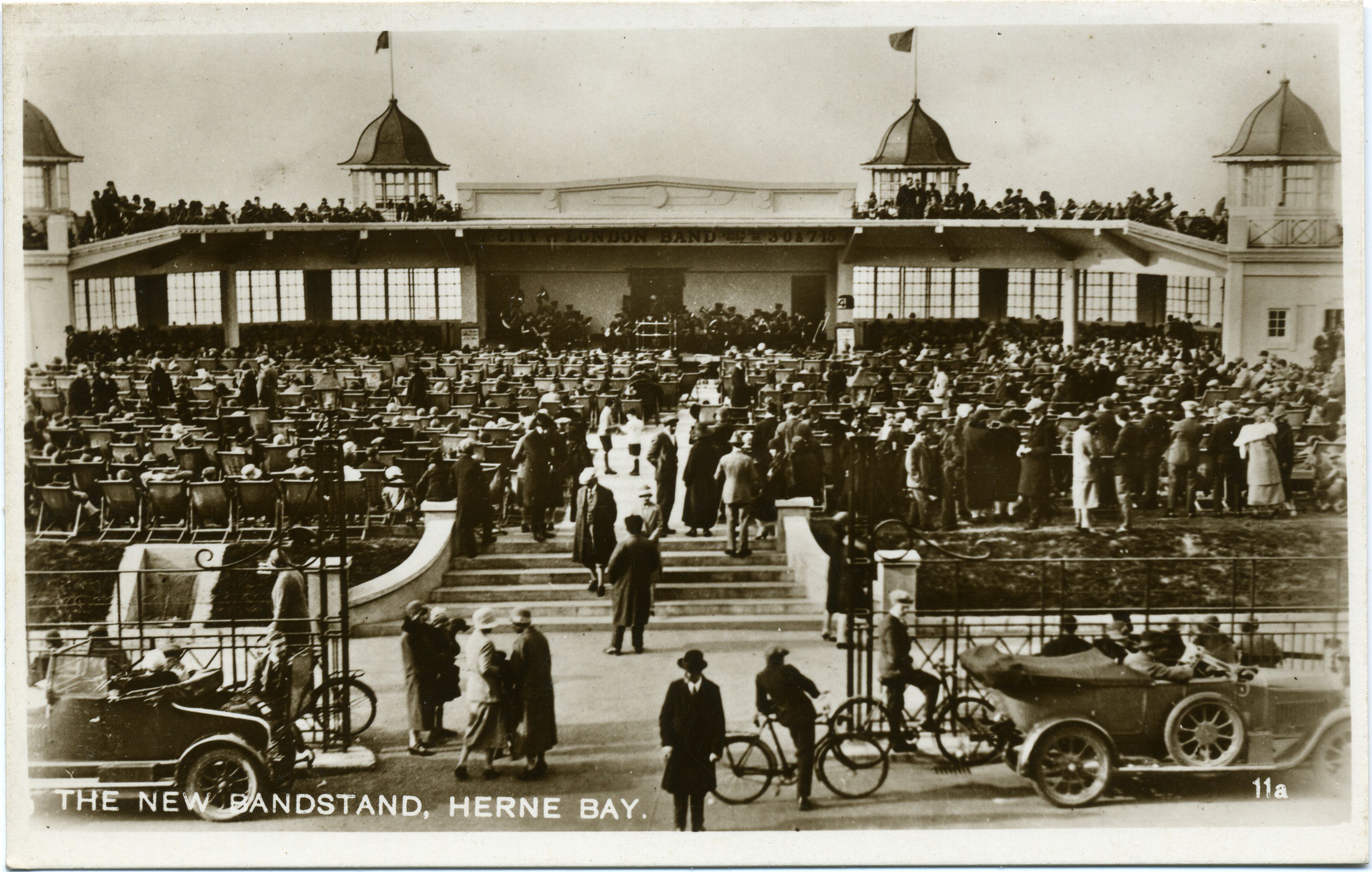
Central Bandstand, Herne Bay
The Central Bandstand, known as the Bandstand, in Herne Bay, Kent, England, was designed by H. Kempton Dyson in 1924, extended with an art deco frontage...

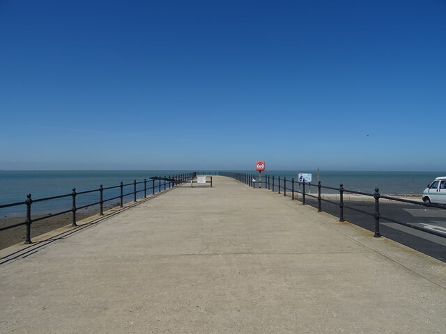
Herne Bay Pier
Herne Bay Pier was the third pier to be built at Herne Bay, Kent for passenger steamers. It was notable for its length of 3,787 feet (1,154 m) and for...
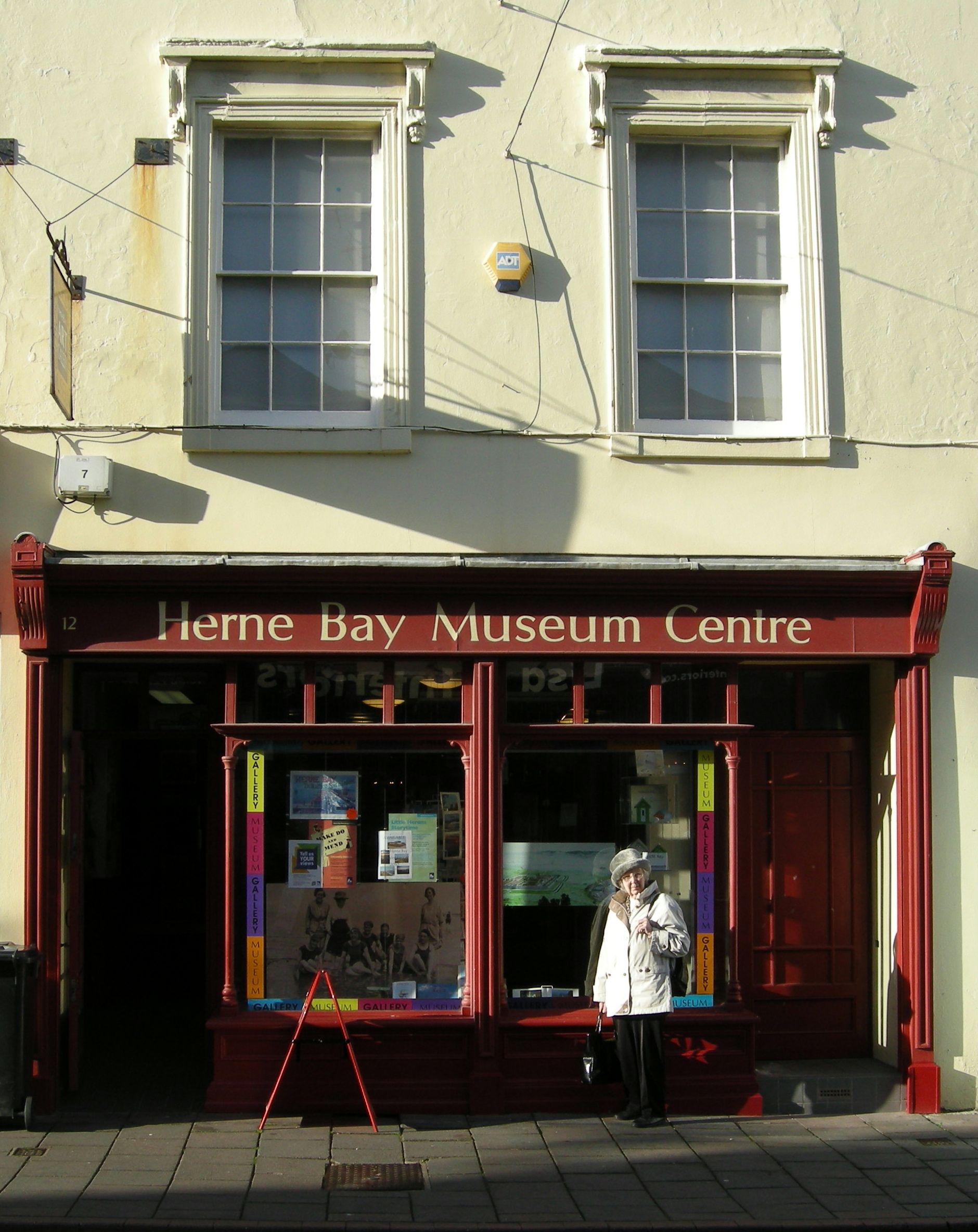
Herne Bay Museum and Gallery
The Seaside Museum Herne Bay is a local museum in Herne Bay, Kent, England. It was established in 1932, (as the Herne Bay Museum) and is notable for being...

Herne Bay
Herne Bay is a seaside town on the north coast of Kent in South East England. It is 6 miles (10 km) north of Canterbury and 4 miles (6 km) east of Whitstable...
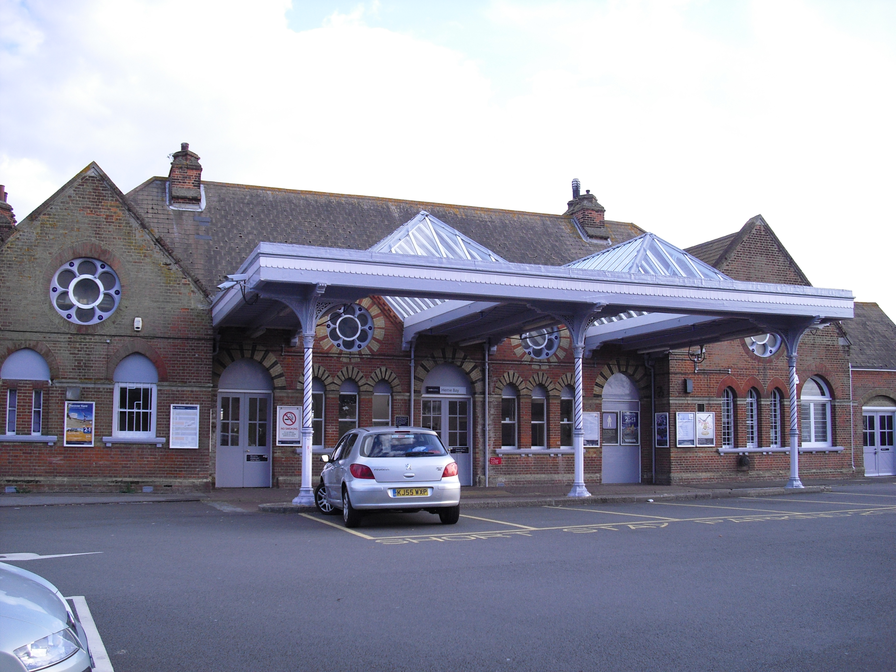
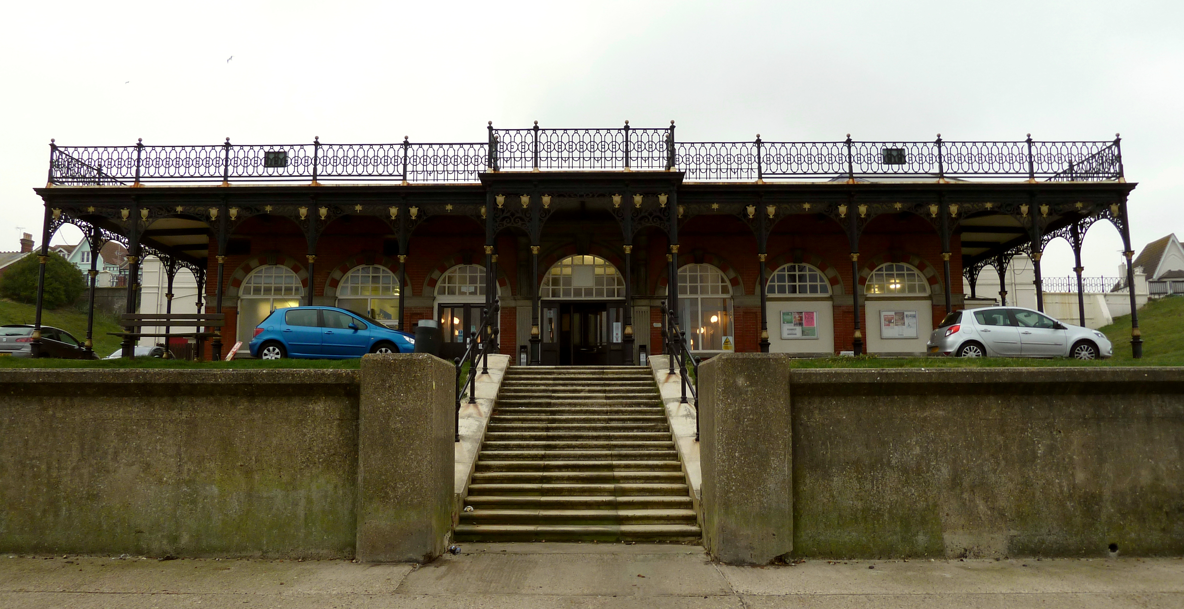
Herne Bay railway station
Herne Bay railway station is on the Chatham Main Line in England, serving the town of Herne Bay, Kent. It is 62 miles 58 chains (100.9 km) down the line...
King's Hall, Herne Bay
The King's Hall is a theatre, concert hall and dance hall at Herne Bay, Kent, England. It was built as The Pavilion in 1903–1904, developed as the King...

Herne Bay F.C.
Herne Bay Football Club is a football club based in Herne Bay, Kent, England. Affiliated to the Kent County Football Association, they are currently members...

Eddington, Kent
Eddington was a village in Kent, South East England to the south-east of Herne Bay, to the west of Beltinge and to the north of Herne. It is now a suburb...
Nearby Amenities
Located within 500m of 51.373958,1.1209638Have you been to Cartwright Point?
Leave your review of Cartwright Point below (or comments, questions and feedback).