Lower Hamworthy
Settlement in Dorset
England
Lower Hamworthy
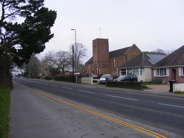
Lower Hamworthy is a small suburban area located in the county of Dorset, England. Situated on the outskirts of the coastal town of Poole, Lower Hamworthy is part of the larger Hamworthy district.
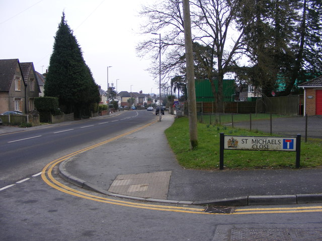
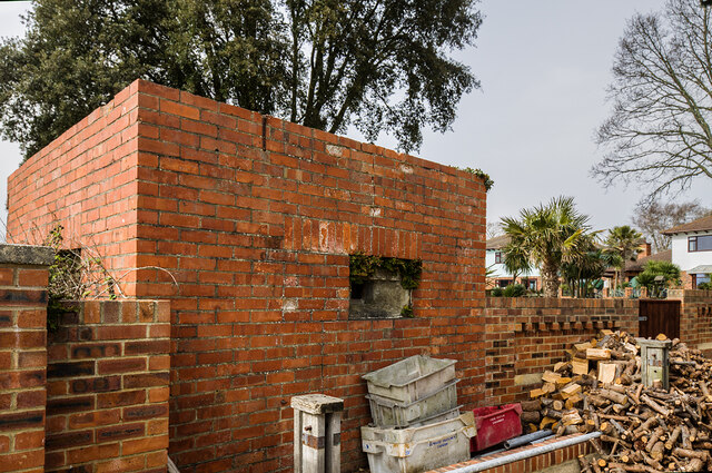
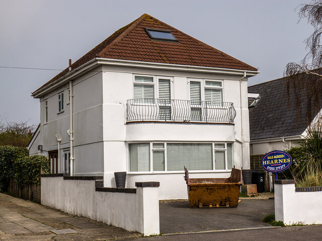
The area is primarily residential, characterized by a mix of housing types including terraced houses, semi-detached properties, and some low-rise apartment buildings. The community is home to a diverse population, comprising families, professionals, and retirees.
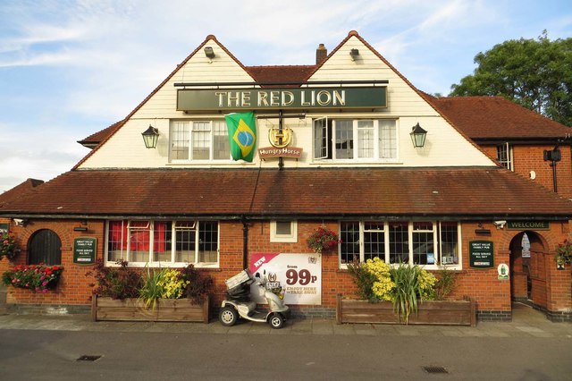
Lower Hamworthy benefits from its proximity to various amenities and services. Residents have easy access to several local shops, supermarkets, and cafes, which cater to their everyday needs. The nearby town of Poole provides additional shopping and entertainment options, including high street retailers, restaurants, and a bustling quayside area.
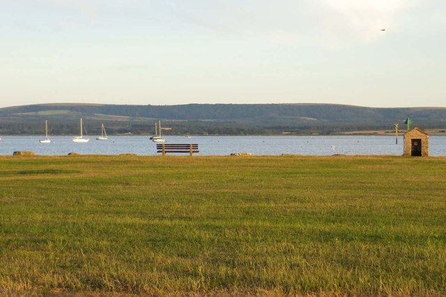
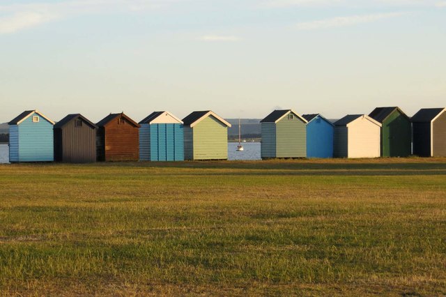
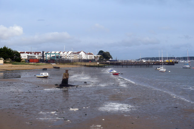
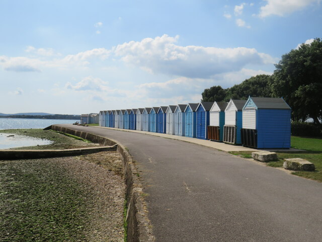
Nature enthusiasts can enjoy the beautiful surroundings, as Lower Hamworthy is located near the picturesque Poole Bay and the stunning Dorset coast. Residents have opportunities for outdoor activities such as walking, cycling, and birdwatching in the nearby Ham Common Nature Reserve.
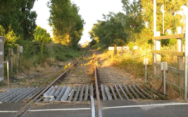
Transportation links in Lower Hamworthy are convenient, with regular bus services connecting the area to Poole town center and other neighboring towns. The nearby Hamworthy railway station provides direct train services to London Waterloo, making it an attractive location for commuters.
Overall, Lower Hamworthy offers a peaceful and friendly community atmosphere with easy access to essential amenities, natural beauty, and excellent transport links.
If you have any feedback on the listing, please let us know in the comments section below.
Lower Hamworthy Images
Images are sourced within 2km of 50.712098/-1.9966477 or Grid Reference SZ0090. Thanks to Geograph Open Source API. All images are credited.


Lower Hamworthy is located at Grid Ref: SZ0090 (Lat: 50.712098, Lng: -1.9966477)
Unitary Authority: Bournemouth, Christchurch and Poole
Police Authority: Dorset
What 3 Words
///media.factor.payer. Near Poole, Dorset
Nearby Locations
Related Wikis
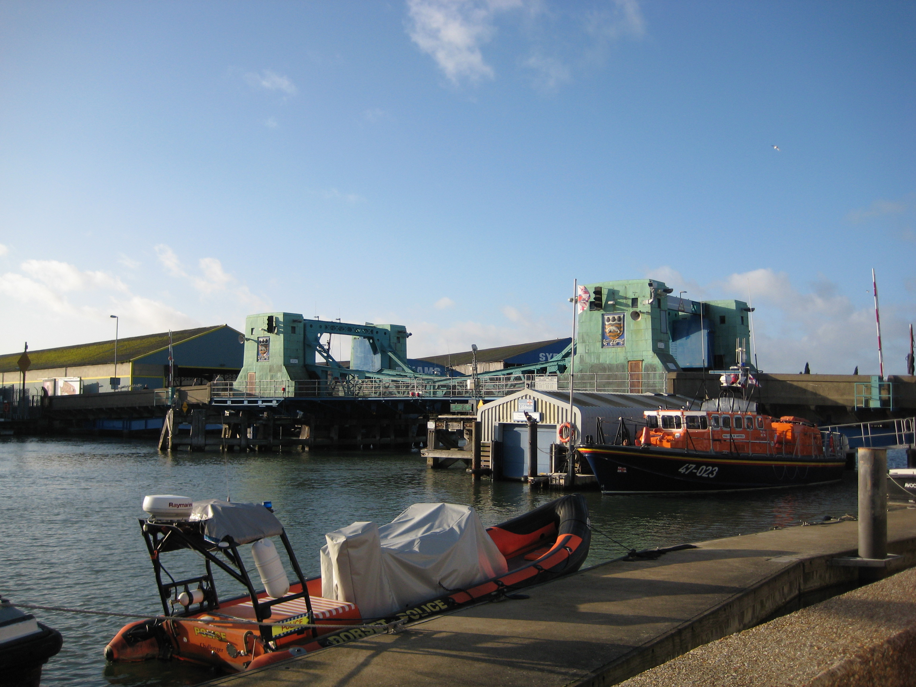
Poole Bridge
Poole Bridge (also known as Poole Lifting Bridge and Hamworthy Bridge) is a bascule bridge in Poole, Dorset, England. Constructed in 1927, the bridge provides...
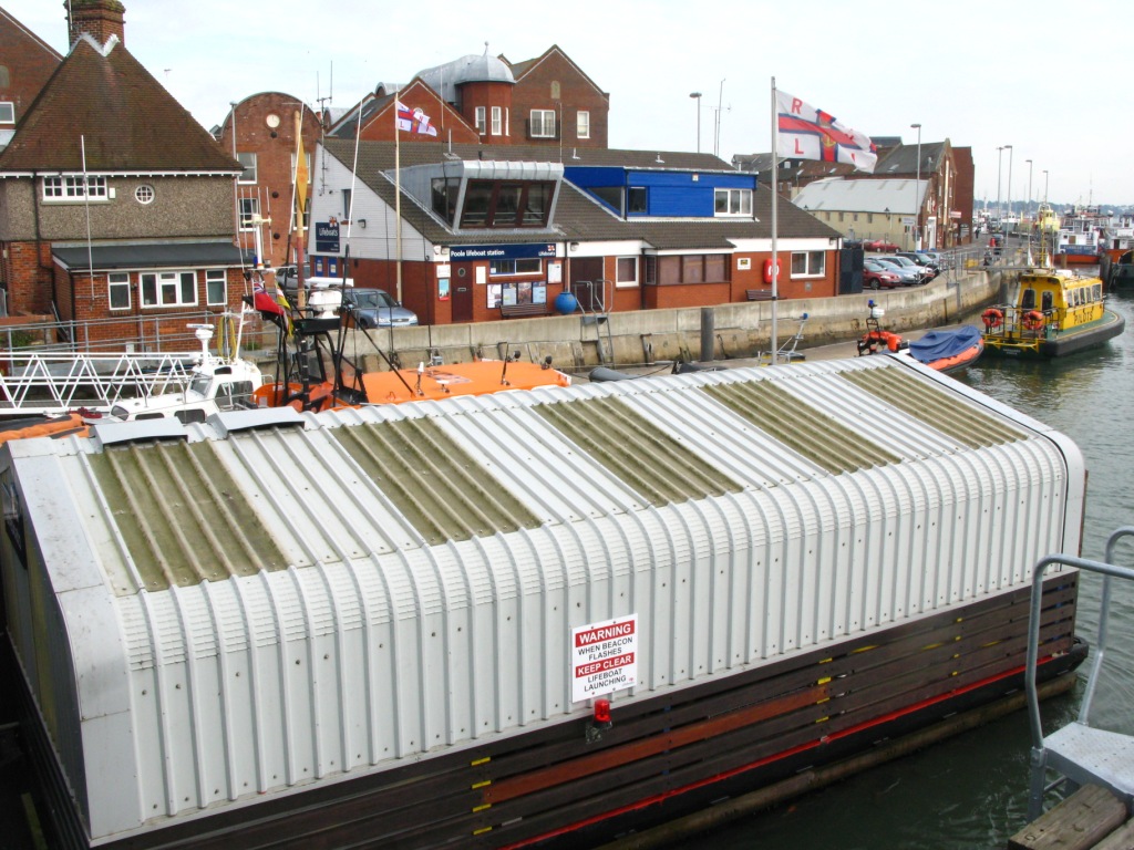
Poole Lifeboat Station
Poole Lifeboat Station is the base for Royal National Lifeboat Institution (RNLI) search and rescue operations at Poole, Dorset in England. The first lifeboat...

Poole Power Station
Poole Power Station was a coal-fired power station located in Hamworthy, Poole, in Dorset. Its 325 ft (100 m) tall twin chimneys were prominent landmarks...

Twin Sails Bridge
The Twin Sails Bridge (also known as The Second Harbour Crossing) is a double leaved bascule bridge in Poole, Dorset, England. The bridge provides a second...

Hamworthy United F.C.
Hamworthy United Football Club is a football club based in Hamworthy, a suburb of Poole, England. Formed in 1970 as a merger of Hamworthy and Trinidad...

Custom House, Poole
The Custom House (formerly known as the King's Custom House) is a Grade II* listed building in Poole, Dorset, England. It is a Georgian building located...

St James' Church, Poole
St James is a Church of England parish church in Poole on the south coast of England, in the ceremonial county of Dorset. The church is located in the...
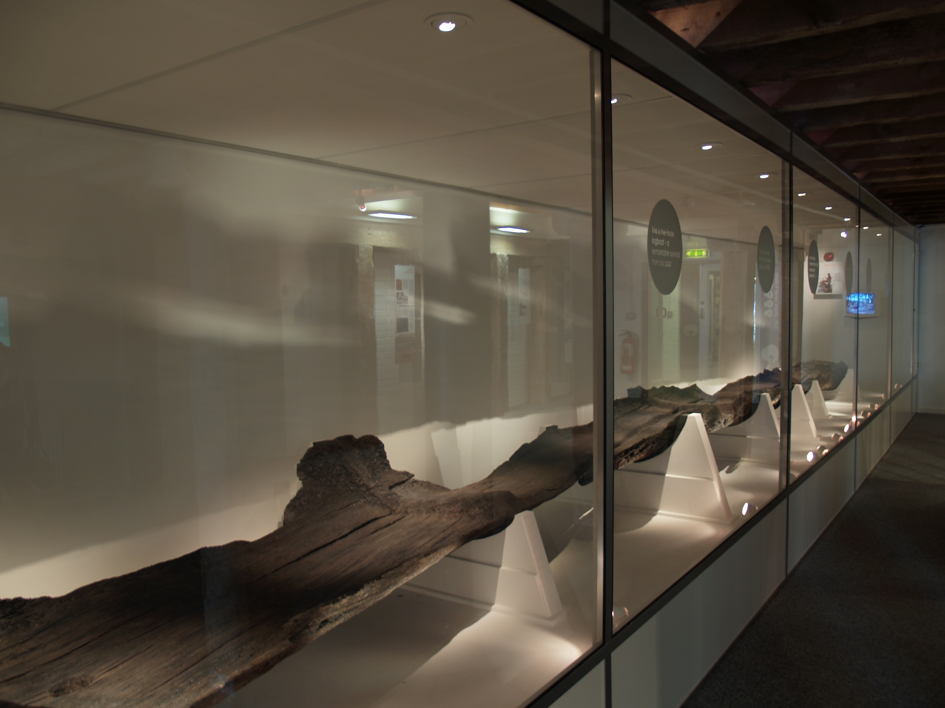
Poole Logboat
The Poole Logboat is an ancient logboat made from a single oak tree. It was excavated in the town of Poole, Dorset, England. The boat is over 2,200 years...
Nearby Amenities
Located within 500m of 50.712098,-1.9966477Have you been to Lower Hamworthy?
Leave your review of Lower Hamworthy below (or comments, questions and feedback).