Geo of the South Head
Coastal Feature, Headland, Point in Shetland
Scotland
Geo of the South Head

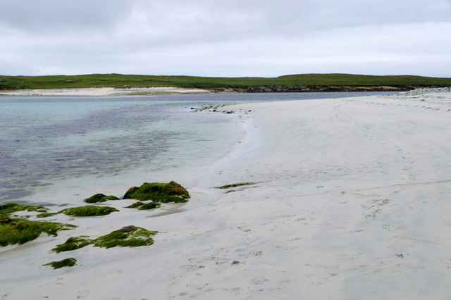
Geo of the South Head is a prominent coastal feature located in the Shetland Islands, an archipelago in Scotland. This headland, also known as a point, is situated on the southern side of the archipelago, overlooking the North Sea. Its geographical coordinates are approximately 60.383°N latitude and 1.276°W longitude.
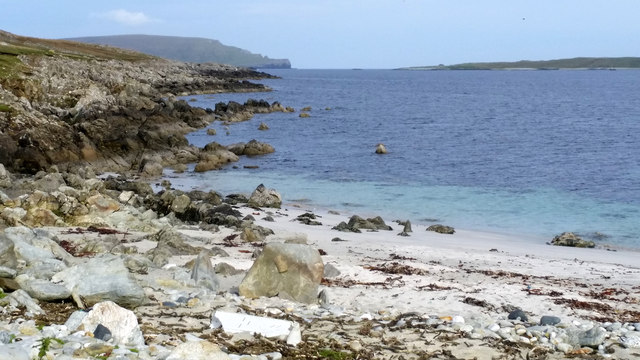
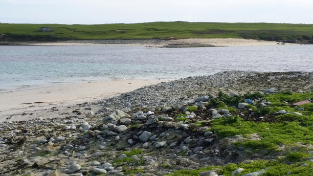
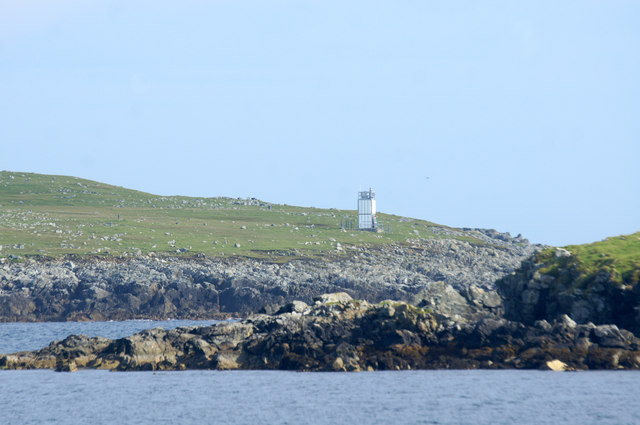
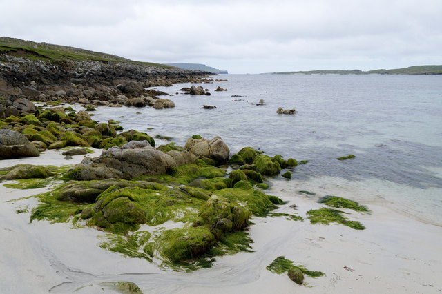
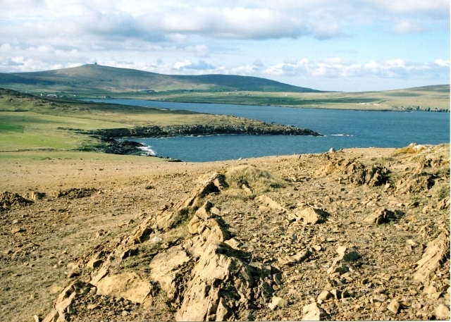
Geo of the South Head is characterized by its towering cliffs that rise abruptly from the sea, providing a stunning and dramatic landscape. The cliffs are composed of sedimentary rocks, such as sandstone and shale, which have been eroded over time by the relentless power of the waves. This erosion has resulted in the formation of several caves and sea stacks along the coastline.
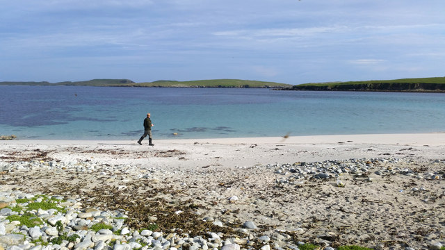
The headland offers breathtaking views of the surrounding area, with panoramic vistas of the ocean and nearby islands. It serves as an important vantage point for birdwatchers, as it provides an excellent opportunity to observe various seabird species that inhabit the region, including puffins, guillemots, and razorbills.
Access to Geo of the South Head is possible through a network of footpaths that traverse the rugged terrain. However, caution is advised due to the steep and unstable nature of the cliffs. Visitors are advised to wear appropriate footwear and adhere to safety guidelines when exploring the area.
Overall, Geo of the South Head is a captivating coastal feature that showcases the natural beauty and geological diversity of the Shetland Islands. Its towering cliffs, stunning views, and abundant wildlife make it a popular destination for nature enthusiasts and photographers alike.
If you have any feedback on the listing, please let us know in the comments section below.
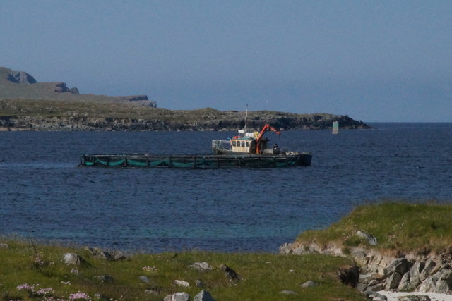
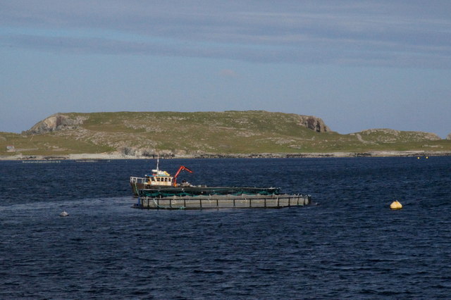
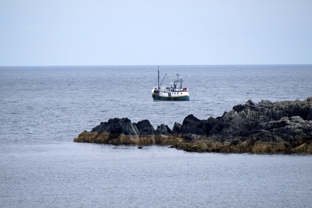
Geo of the South Head Images
Images are sourced within 2km of 60.746003/-0.78520571 or Grid Reference HP6607. Thanks to Geograph Open Source API. All images are credited.


Geo of the South Head is located at Grid Ref: HP6607 (Lat: 60.746003, Lng: -0.78520571)
Unitary Authority: Shetland Islands
Police Authority: Highlands and Islands
What 3 Words
///lunching.fewest.scoop. Near Baltasound, Shetland Islands
Nearby Locations
Related Wikis

Balta, Shetland
Balta (Scots: Balta; Old Norse: "Baltey") is an uninhabited island in Shetland, Scotland. == Geography == Balta lies off the east coast of Unst and Balta...

Huney
Huney is an uninhabited island due east of the island of Unst in the Shetland Islands, Scotland. The island is located approximately 1 kilometre south...
Keen of Hamar
Keen of Hamar is a nature reserve on Unst, in Shetland, Scotland, managed by Scottish Natural Heritage. The reserve is primarily of botanical interest...
Balta Sound
Balta Sound is a sound (inlet) on the east coast of the island of Unst in the Shetland Islands, Scotland. The sound is sheltered from the North Sea to...
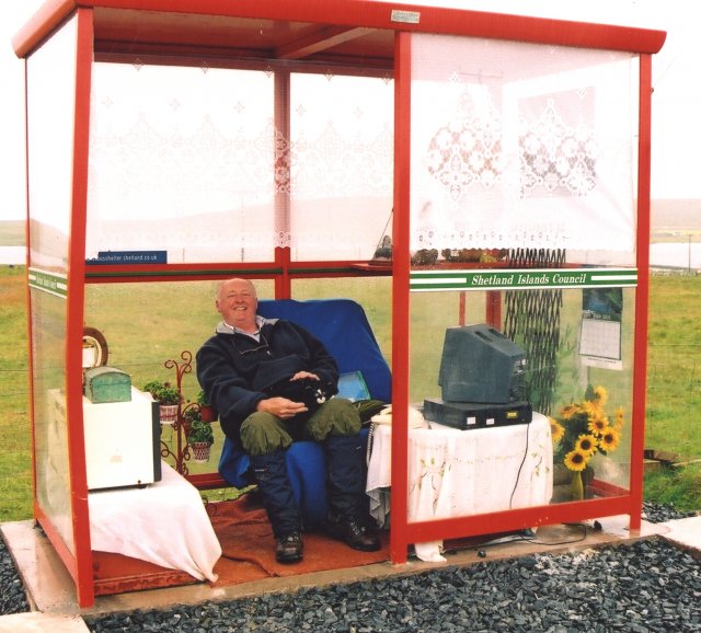
Unst Bus Shelter
The Unst Bus Shelter, also known as Bobby's Bus Shelter, is a bus shelter and bus stop near the village of Baltasound, on the isle of Unst, Shetland Islands...

Unst Airport
Unst Airport also called Baltasound Airport is an unlicensed airfield near Baltasound, on the island of Unst, Shetland Islands, Scotland. The airfield...

Baltasound
Baltasound (or Baltasund) is the largest settlement on the island of Unst in Shetland, Scotland. It comes from the Old Norse man's name Balti (Baltisund...

Haroldswick
Haroldswick or Harold's Wick (Old Norse: Haraldsvík, 'Harald's bay'), is on Unst, Shetland Islands, Scotland, and is one of the most northerly settlements...
Nearby Amenities
Located within 500m of 60.746003,-0.78520571Have you been to Geo of the South Head?
Leave your review of Geo of the South Head below (or comments, questions and feedback).