Steath of Longhouse
Coastal Feature, Headland, Point in Shetland
Scotland
Steath of Longhouse
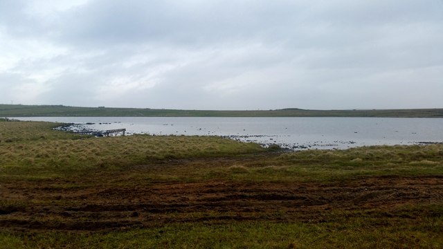
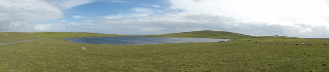
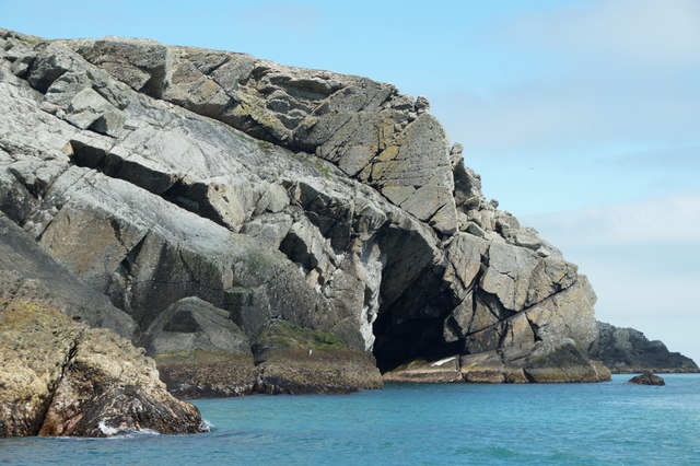
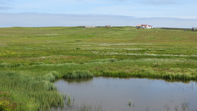
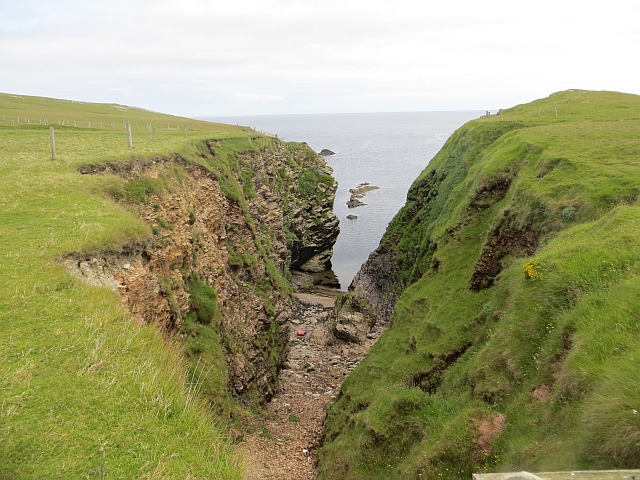
Steath of Longhouse is a coastal feature located in the Shetland Islands, situated in the northernmost part of Scotland. It is a prominent headland that juts out into the North Sea, forming a point where the land meets the water.
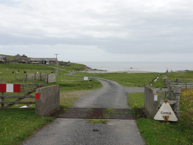
The name "Steath of Longhouse" is derived from the Old Norse language, which was historically spoken in the Shetland Islands. "Steath" means a landing place, while "Longhouse" refers to a traditional type of Scottish dwelling. This suggests that the area may have been used as a landing spot for boats and ships in the past.
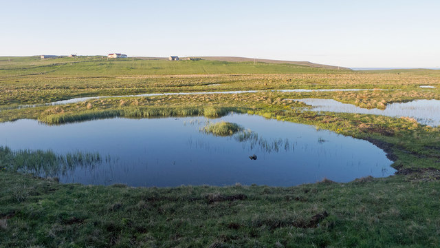
The headland itself is characterized by steep cliffs that provide a stunning view of the surrounding coastline. The cliffs are composed of sedimentary rocks, displaying layers of different colors and textures. These rocks are a testament to the geological history of the area, indicating the various processes of deposition and erosion over time.
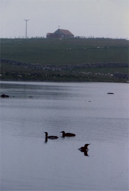
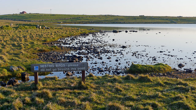
Steath of Longhouse is also known for its diverse wildlife. The surrounding waters are home to numerous marine species, including seals, dolphins, and various types of seabirds. Visitors may catch a glimpse of these creatures while exploring the headland or enjoy watching them from a distance.
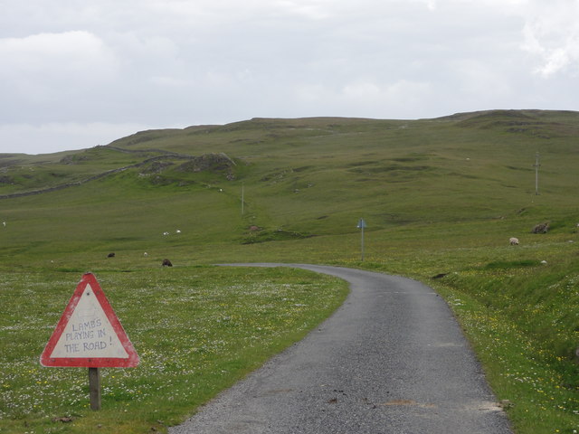
In addition to its natural beauty, Steath of Longhouse holds cultural significance for the local community. It is a place where people can connect with the rich history and heritage of the Shetland Islands, immersing themselves in the rugged coastal landscape that has shaped the lives of its inhabitants for centuries.
If you have any feedback on the listing, please let us know in the comments section below.
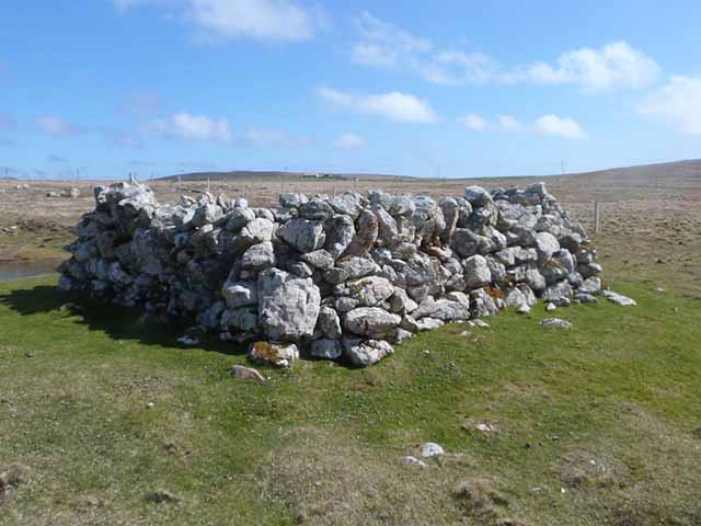
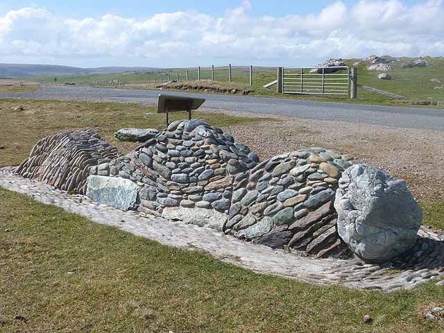
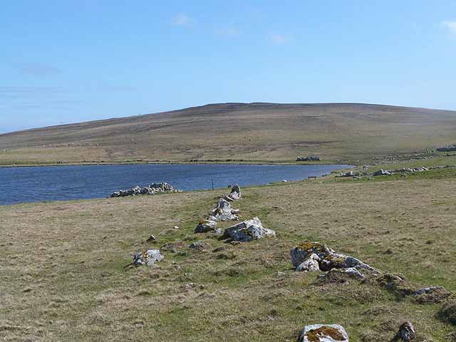
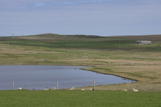
Steath of Longhouse Images
Images are sourced within 2km of 60.60288/-0.79763611 or Grid Reference HU6591. Thanks to Geograph Open Source API. All images are credited.


Steath of Longhouse is located at Grid Ref: HU6591 (Lat: 60.60288, Lng: -0.79763611)
Unitary Authority: Shetland Islands
Police Authority: Highlands and Islands
What 3 Words
///rapid.hosts.shrub. Near Houbie, Shetland Islands
Nearby Locations
Related Wikis

Haltadans
Haltadans, also known as Fairy Ring or Haltadans stone circle, is a stone circle on the island of Fetlar in Shetland, Scotland. This site is a ring of...

Fetlar
Fetlar (Scots: Fetlar) is one of the North Isles of Shetland, Scotland, with a usually resident population of 61 at the time of the 2011 census. Its main...

Funzie Girt
Funzie Girt (; Scots: Funyie Girt "Finns' dyke") is an ancient dividing wall that was erected from north to south across the island of Fetlar in Shetland...

Haaf Gruney
Haaf Gruney is a small island in the north east of the Shetland Islands. == Geography and geology == The island is between Unst and Fetlar which are to...

Urie Lingey
For other islands with similar names, see Linga (disambiguation) Urie Lingey is one of the Shetland Islands. It is between Fetlar and Unst, and Yell is...

Brough Lodge
Brough Lodge is a 19th-century Gothic mansion on Fetlar, one of the Shetland Islands, in northern Scotland. Built by the Nicolson family, who were responsible...

Hamars Ness
Hamars Ness is a headland on the island of Fetlar in Shetland, Scotland. The name is from the Old Norse Hamarsnes meaning "craggy headland". A ro-ro ferry...

Uyea, Unst
Uyea (Scots: Uyea) is an uninhabited island, lying south of Unst in Shetland, Scotland. == History == The island was inhabited as early as the Bronze Age...
Nearby Amenities
Located within 500m of 60.60288,-0.79763611Have you been to Steath of Longhouse?
Leave your review of Steath of Longhouse below (or comments, questions and feedback).