Agar's Gap
Coastal Feature, Headland, Point in Yorkshire
England
Agar's Gap

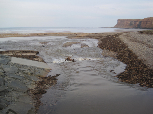
Agar's Gap is a prominent coastal feature located in Yorkshire, England. Situated along the rugged coastline, it is a headland that juts out into the North Sea, forming a distinct point along the shoreline. The gap itself is a narrow opening between two cliffs, giving the area its name.
The headland is composed of sedimentary rock, primarily shale and sandstone, which has been eroded over centuries by the powerful waves and tides of the North Sea. This erosion has created a dramatic landscape, with steep cliffs that rise up from the water, offering breathtaking views of the surrounding coastline.
Agar's Gap is known for its natural beauty and is a popular destination for both locals and tourists alike. The headland provides an excellent vantage point for observing marine life, including seabirds, seals, and occasional sightings of dolphins and porpoises.
The area surrounding Agar's Gap is also rich in history and has been inhabited for thousands of years. Evidence of ancient settlements and burial sites have been discovered in the vicinity, providing insights into the region's past.
Due to its exposed location, Agar's Gap is subject to the forces of coastal erosion. This ongoing process means that the landscape is constantly changing, with new cliffs and rock formations being shaped by the relentless action of the sea.
Overall, Agar's Gap is a captivating coastal feature in Yorkshire, offering a combination of natural beauty, historical significance, and a dynamic landscape shaped by the power of the North Sea.
If you have any feedback on the listing, please let us know in the comments section below.
Agar's Gap Images
Images are sourced within 2km of 54.588851/-0.98482987 or Grid Reference NZ6521. Thanks to Geograph Open Source API. All images are credited.


Agar's Gap is located at Grid Ref: NZ6521 (Lat: 54.588851, Lng: -0.98482987)
Division: North Riding
Unitary Authority: Redcar and Cleveland
Police Authority: Cleveland
What 3 Words
///cherubs.different.plug. Near Saltburn-by-the-Sea, North Yorkshire
Nearby Locations
Related Wikis
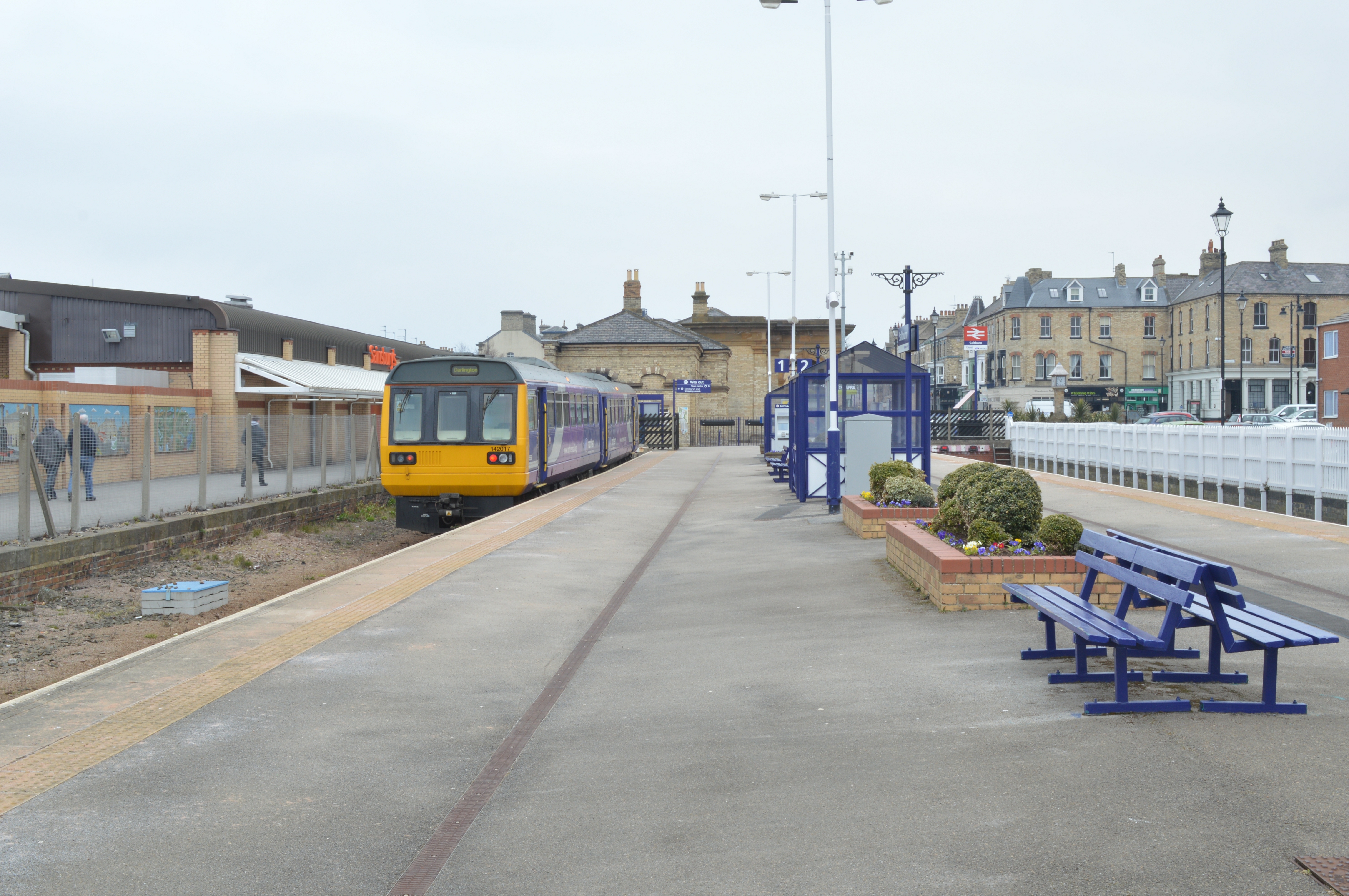
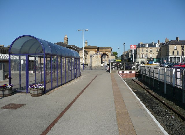
Saltburn railway station
Saltburn is a railway station on the Tees Valley Line, which runs between Bishop Auckland and Saltburn via Darlington. The station, situated 12 miles 57...

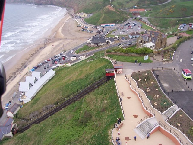
Saltburn Cliff Lift
The Saltburn Cliff Lift is a funicular railway in Saltburn-by-the-Sea, Redcar and Cleveland in the ceremonial county of North Yorkshire, England. It provides...
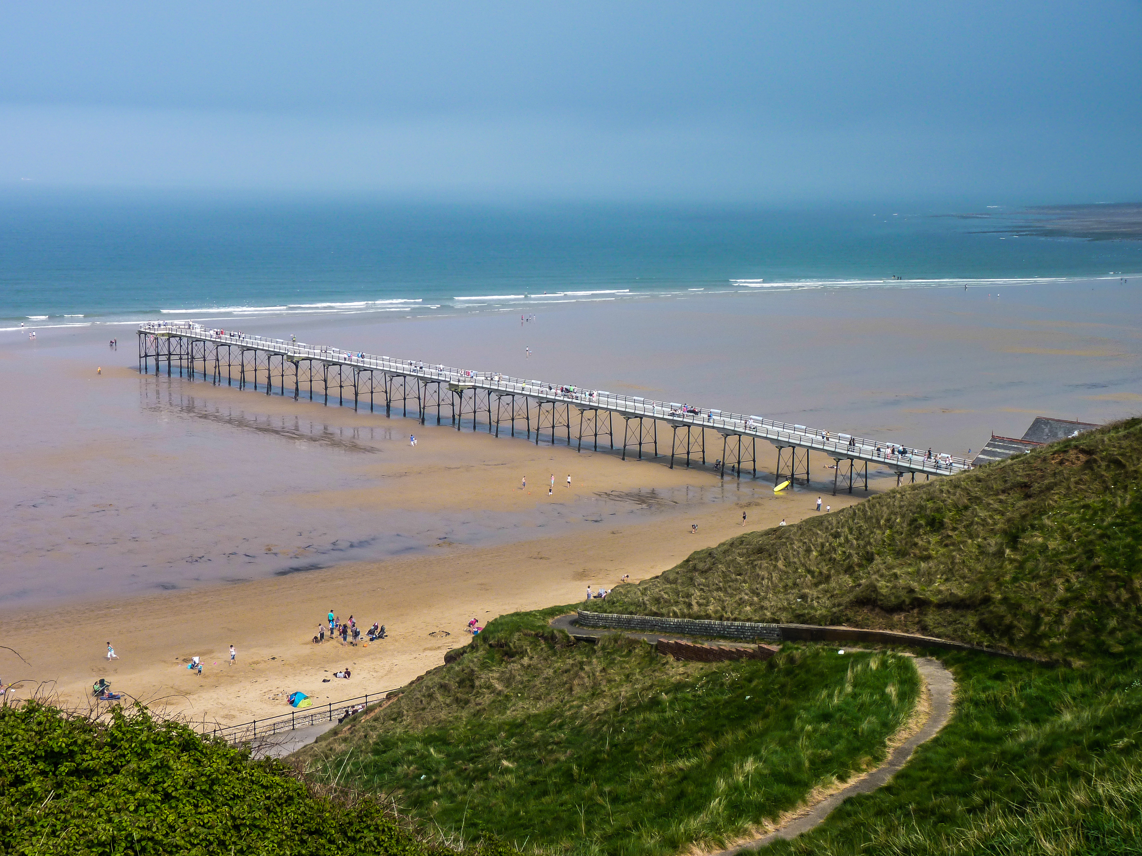
Saltburn Pier
Saltburn Pier is a pier located in Saltburn-by-the-Sea, Redcar and Cleveland and the ceremonial county of North Yorkshire, England. It is the last pier...
Saltburn-by-the-Sea
Saltburn-by-the-Sea, commonly referred to as Saltburn, is a seaside town in Redcar and Cleveland, North Yorkshire, England, around 12 miles (19 km) south...

Langbaurgh East
Langbaurgh East was a wapentake of the North Riding of Yorkshire, the eastern division of Langbaurgh, England. The name is now in use as a local justice...

Huntcliff School, Saltburn-by-the-Sea
Huntcliff School is a co-educational secondary school located in Saltburn-by-the-Sea, a town in the north-east of England. At the Ofsted inspection of...
Skelton Beck
Skelton Beck is a small river in North Yorkshire, England. The beck only runs for 23 kilometres (14 mi) and feeds directly into the North Sea on the south...
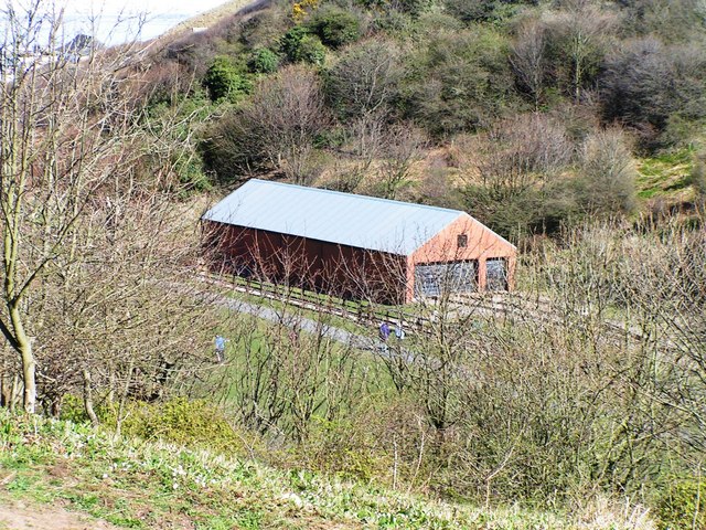
Saltburn Miniature Railway
The Saltburn Miniature Railway is a 15 in (381 mm) gauge railway at Saltburn, in Redcar and Cleveland, North Yorkshire, England. == History == The railway...
Nearby Amenities
Located within 500m of 54.588851,-0.98482987Have you been to Agar's Gap?
Leave your review of Agar's Gap below (or comments, questions and feedback).