Tarri Geos

Coastal Feature, Headland, Point in Shetland

Scotland

Tarri Geos

Aithbank, Fetlar The house has since been refurbished as a camping booth.
Aithbank, Fetlar Credit: Mike Pennington

The requested URL returned error: 429 Too Many Requests

If you have any feedback on the listing, please let us know in the comments section below.
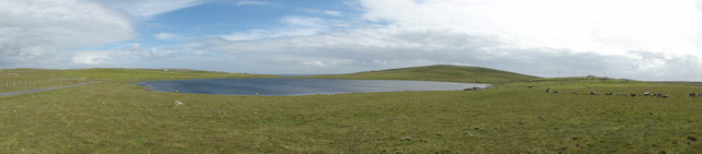
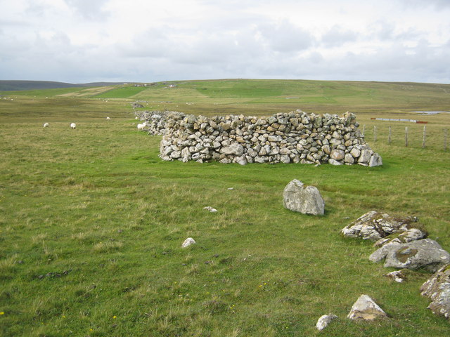
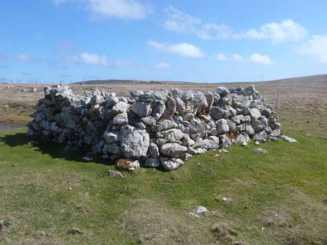
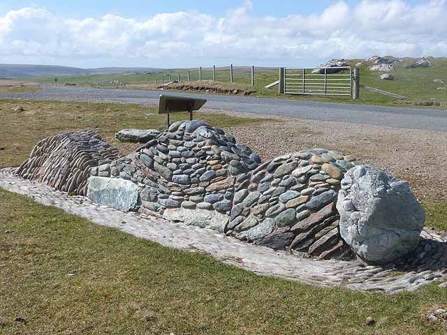
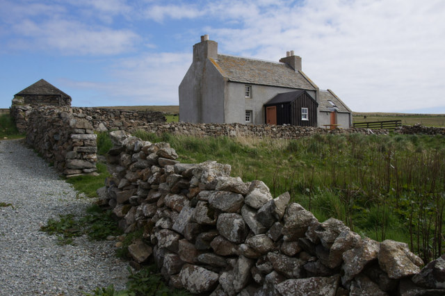
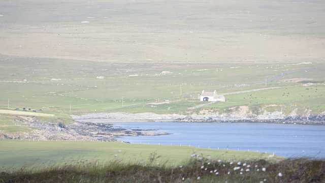
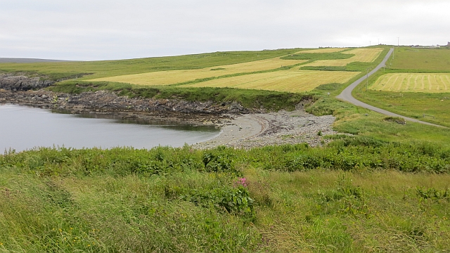
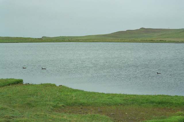
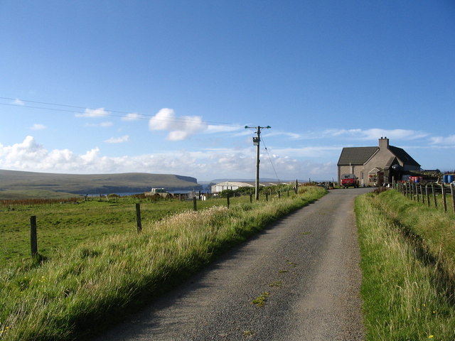
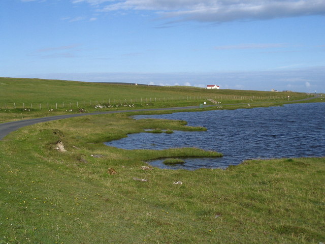
Tarri Geos Images

Images are sourced within 2km of 60.604292/-0.82105272 or Grid Reference HU6491. Thanks to Geograph Open Source API. All images are credited.

Aithbank, Fetlar The house has since been refurbished as a camping booth.
Aithbank, Fetlar
The house has since been refurbished as a camping booth.
Unsurfaced track View along the non surfaced track near Aithbank.
Unsurfaced track
View along the non surfaced track near Aithbank.
Loch of Funzie View of the Loch of Funzie
Loch of Funzie
View of the Loch of Funzie
Beadlet Anemone (Actinia equina), Wick of Aith
Flat Periwinkle (Littorina obtusata), Wick of Aith
Line of planticrubs Anyone familiar with the landscape of northern England or Scotland will assume first of all that these are drystone sheep fanks but actually they are planticrubs, probably unique to Shetland.  This was the only place I saw a whole row of them.  Planticrubs were built to shelter kale seedlings from the wind so serve as primitive greenhouses.
Line of planticrubs
Anyone familiar with the landscape of northern England or Scotland will assume first of all that these are drystone sheep fanks but actually they are planticrubs, probably unique to Shetland. This was the only place I saw a whole row of them. Planticrubs were built to shelter kale seedlings from the wind so serve as primitive greenhouses.
Planticrub near Loch of Funzie For a full explanation of this miniature "walled garden", see <a href="https://www.geograph.org.uk/photo/3271563">HU6489 : Line of planticrubs</a>.
Planticrub near Loch of Funzie
For a full explanation of this miniature "walled garden", see HU6489 : Line of planticrubs.
Geological model at Loch of Funzie This piece of public artwork is a stylized representation of the geology of the island of Fetlar.
Geological model at Loch of Funzie
This piece of public artwork is a stylized representation of the geology of the island of Fetlar.
Camping booth at Aithbank
Aithbank The house is now visitor accommodation as a camping böd (it is extremely comfortable). Aith Wick was the landing place for the peat that was cut here on Lamb Hoga.
Aithbank
The house is now visitor accommodation as a camping böd (it is extremely comfortable). Aith Wick was the landing place for the peat that was cut here on Lamb Hoga.
Beach, Aith Wick Once an important trading point and landing place for Lamb Hoga's peats.
Beach, Aith Wick
Once an important trading point and landing place for Lamb Hoga's peats.
Loch of Funzie looking towards the Snap With three Red-Throated Divers in foreground.
Loch of Funzie looking towards the Snap
With three Red-Throated Divers in foreground.
Northern shore of the Loch of Funzie with Red-necked Phalarope feeding. The Red-necked Phalarope is fairly rare and visitors to Fetlar are directed to try their luck at spotting one at this location.
Northern shore of the Loch of Funzie with Red-necked Phalarope feeding.
The Red-necked Phalarope is fairly rare and visitors to Fetlar are directed to try their luck at spotting one at this location.
Everland with Ness of Gruting in the distance
Northern edge of Loch of Funzie
Line of ruined stone enclosures Aith visible in distance.
Line of ruined stone enclosures
Aith visible in distance.
Farmland on the slopes below Aith
Winyadepla east shore. Two prehistoric stone built enclosures, east shore of Winyadepla, Fetlar.
Winyadepla east shore.
Two prehistoric stone built enclosures, east shore of Winyadepla, Fetlar.
Show me another place!

Tarri Geos is located at Grid Ref: HU6491 (Lat: 60.604292, Lng: -0.82105272)

Unitary Authority: Shetland Islands

Police Authority: Highlands and Islands

What 3 Words

///unionists.navy.term. Near Houbie, Shetland Islands

Related Wikis

Haltadans

Haltadans, also known as Fairy Ring or Haltadans stone circle, is a stone circle on the island of Fetlar in Shetland, Scotland. This site is a ring of...

Fetlar

Fetlar is one of the North Isles of Shetland, Scotland, with a usually resident population of 61 at the time of the 2011 census. Its main settlement is...

Funzie Girt

Funzie Girt (; Scots: Funyie Girt "Finns' dyke") is an ancient dividing wall that was erected from north to south across the island of Fetlar in Shetland...

Urie Lingey

For other islands with similar names, see Linga (disambiguation) Urie Lingey is one of the Shetland Islands. It is between Fetlar and Unst, and Yell is...

Have you been to Tarri Geos?

Leave your review of Tarri Geos below (or comments, questions and feedback).