Blo Geo
Coastal Feature, Headland, Point in Shetland
Scotland
Blo Geo
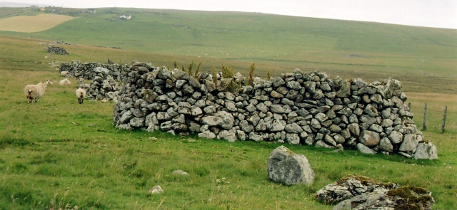
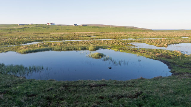
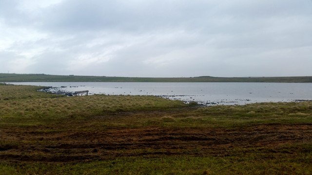
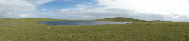
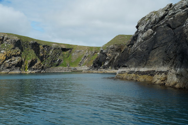
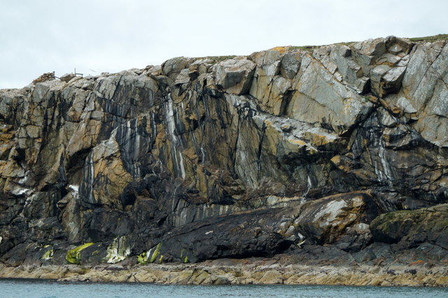
Blo Geo is a prominent coastal feature located in the Shetland Islands, an archipelago in Scotland. It is classified as a headland or point due to its distinctive shape and geographical characteristics. Situated on the west coast of the Mainland Shetland, Blo Geo is known for its rugged cliffs, rocky shoreline, and breathtaking views of the North Atlantic Ocean.
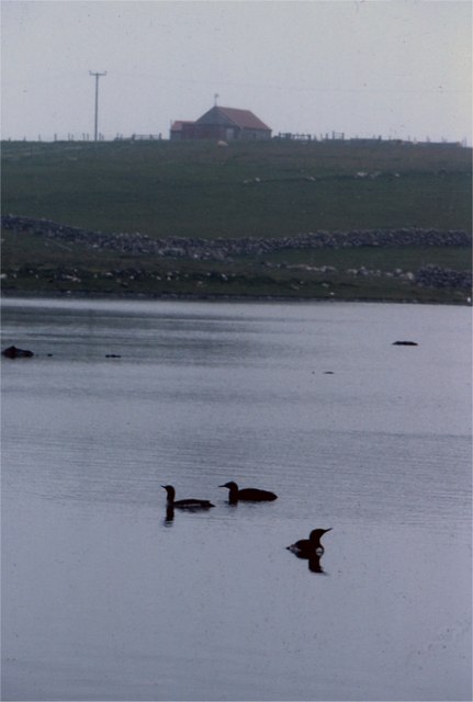
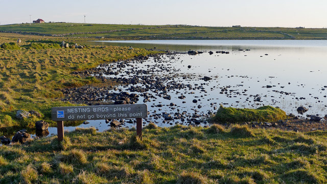
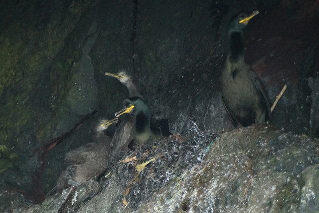
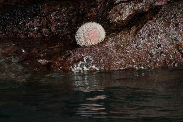
The headland is characterized by steep cliffs that rise dramatically from the sea, reaching heights of up to 100 feet in some areas. These cliffs provide nesting grounds for various seabirds, including puffins, guillemots, and fulmars, making it a popular spot for birdwatching enthusiasts. The rocky shoreline is also home to a diverse array of marine life, such as seals, otters, and numerous species of fish.
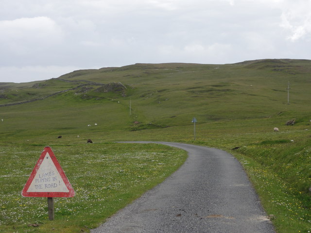
Blo Geo offers visitors a chance to experience the raw beauty of Shetland's coastal landscape. It provides a vantage point from which to observe the powerful waves crashing against the cliffs and the constant interplay between land and sea. The headland is also a popular destination for hikers and walkers, with several trails and paths leading to and around the area.
In addition to its natural beauty, Blo Geo also holds historical significance. The headland is believed to have been used as a lookout point during World War II, providing a strategic vantage point for monitoring the surrounding waters for enemy activity.
Overall, Blo Geo is a captivating coastal feature that showcases the rugged beauty and rich biodiversity of the Shetland Islands. Its combination of dramatic cliffs, diverse wildlife, and historical importance make it a must-visit destination for nature lovers and history enthusiasts alike.
If you have any feedback on the listing, please let us know in the comments section below.
Blo Geo Images
Images are sourced within 2km of 60.583684/-0.82915921 or Grid Reference HU6489. Thanks to Geograph Open Source API. All images are credited.


Blo Geo is located at Grid Ref: HU6489 (Lat: 60.583684, Lng: -0.82915921)
Unitary Authority: Shetland Islands
Police Authority: Highlands and Islands
What 3 Words
///standard.insisting.dripped. Near Houbie, Shetland Islands
Nearby Locations
Related Wikis

Fetlar
Fetlar (Scots: Fetlar) is one of the North Isles of Shetland, Scotland, with a usually resident population of 61 at the time of the 2011 census. Its main...

Haltadans
Haltadans, also known as Fairy Ring or Haltadans stone circle, is a stone circle on the island of Fetlar in Shetland, Scotland. This site is a ring of...

Funzie Girt
Funzie Girt (; Scots: Funyie Girt "Finns' dyke") is an ancient dividing wall that was erected from north to south across the island of Fetlar in Shetland...

Brough Lodge
Brough Lodge is a 19th-century Gothic mansion on Fetlar, one of the Shetland Islands, in northern Scotland. Built by the Nicolson family, who were responsible...

Urie Lingey
For other islands with similar names, see Linga (disambiguation) Urie Lingey is one of the Shetland Islands. It is between Fetlar and Unst, and Yell is...

Hamars Ness
Hamars Ness is a headland on the island of Fetlar in Shetland, Scotland. The name is from the Old Norse Hamarsnes meaning "craggy headland". A ro-ro ferry...

Haaf Gruney
Haaf Gruney is a small island in the north east of the Shetland Islands. == Geography and geology == The island is between Unst and Fetlar which are to...

Hascosay
Hascosay (Scots: Hascosay; Old Norse "Hafskotsey") is a small island lying between Yell and Fetlar in the Shetland Islands, Scotland. == Geography and... ==
Nearby Amenities
Located within 500m of 60.583684,-0.82915921Have you been to Blo Geo?
Leave your review of Blo Geo below (or comments, questions and feedback).