Geo of Luraberg
Coastal Feature, Headland, Point in Shetland
Scotland
Geo of Luraberg
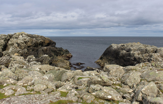
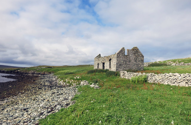
Geo of Luraberg is a prominent coastal feature located in the Shetland Islands, off the north coast of Scotland. It is classified as a headland or point due to its distinct geographical characteristics and its protrusion into the surrounding sea. The term "geo" is a local Shetland word used to describe narrow, steep-sided inlets formed by erosion.
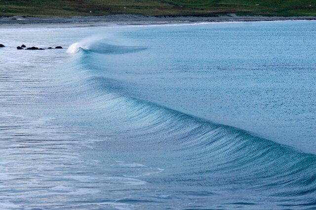
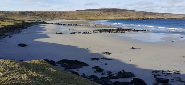
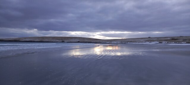
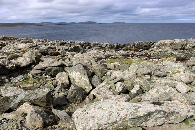
Situated on the western coast of the Shetland Mainland, Geo of Luraberg offers breathtaking views of the North Atlantic Ocean. Its rugged cliffs, which rise to a height of approximately 50 meters, create an impressive backdrop against the crashing waves below. The headland is composed primarily of sandstone and shale, contributing to its striking geological formations.
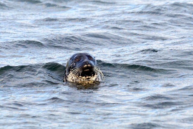
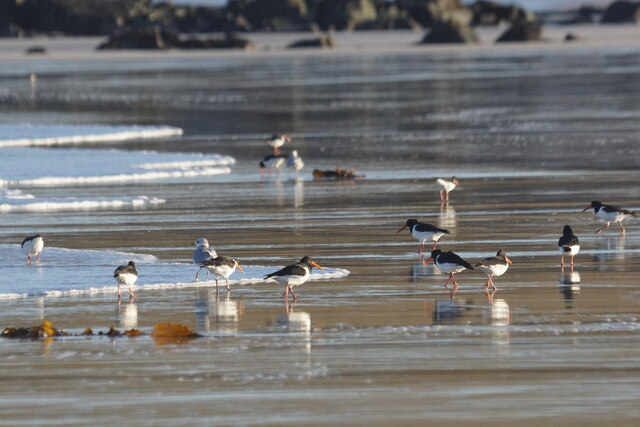
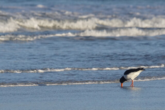
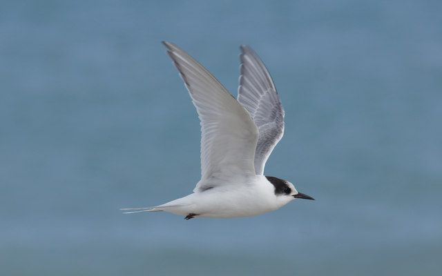
The surrounding area is rich in biodiversity, with various seabird species making their homes on the cliffs of Geo of Luraberg. These include puffins, guillemots, and kittiwakes, which can often be seen nesting and feeding in the vicinity. The geo also provides a habitat for seals and other marine life, adding to its ecological significance.
Access to Geo of Luraberg is possible via a footpath that winds its way along the cliff tops, offering visitors a chance to explore the area's natural beauty. The headland is a popular spot for hikers, nature enthusiasts, and photographers, who are drawn to its dramatic landscapes and stunning vistas.
Overall, Geo of Luraberg is a remarkable coastal feature in the Shetland Islands, offering a glimpse into the region's geological history and providing a haven for diverse wildlife.
If you have any feedback on the listing, please let us know in the comments section below.
Geo of Luraberg Images
Images are sourced within 2km of 60.694127/-0.83428647 or Grid Reference HP6301. Thanks to Geograph Open Source API. All images are credited.


Geo of Luraberg is located at Grid Ref: HP6301 (Lat: 60.694127, Lng: -0.83428647)
Unitary Authority: Shetland Islands
Police Authority: Highlands and Islands
What 3 Words
///tagging.burying.drummers. Near Uyeasound, Shetland Islands
Nearby Locations
Related Wikis

Muness Castle
Muness Castle is located on Unst, which is one of the Shetland Islands of Scotland. The castle is 3 kilometres (1.9 mi) east of the village of Uyeasound...

Mailand, Shetland
Mailand is a hamlet in the Shetland Islands. It is on the island of Unst, the northernmost of the inhabited British Isles, near its southern coast. �...

Haaf Gruney
Haaf Gruney is a small island in the north east of the Shetland Islands. == Geography and geology == The island is between Unst and Fetlar which are to...

Clivocast
Clivocast is a settlement on the island of Unst in the Shetland Islands, Scotland at 60.67°N 00.90°W / 60.67; -00.90 or grid reference HP6000 and is situated...

Huney
Huney is an uninhabited island due east of the island of Unst in the Shetland Islands, Scotland. The island is located approximately 1 kilometre south...

Uyeasound
Uyeasound is a village on the Isle of Unst, the northernmost island of the Shetland Islands, Scotland. It takes its name from the neighbouring strait of...
Uyea, Unst
Uyea (Scots: Uyea) is an uninhabited island, lying south of Unst in Shetland, Scotland. == History == The island was inhabited as early as the Bronze Age...

Unst Airport
Unst Airport also called Baltasound Airport is an unlicensed airfield near Baltasound, on the island of Unst, Shetland Islands, Scotland. The airfield...
Have you been to Geo of Luraberg?
Leave your review of Geo of Luraberg below (or comments, questions and feedback).