North Ship Geo
Coastal Feature, Headland, Point in Shetland
Scotland
North Ship Geo
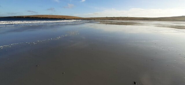
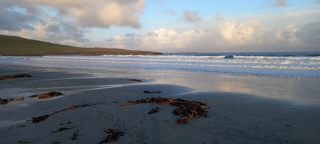
North Ship Geo is a prominent coastal feature located in the Shetland Islands, Scotland. It is a headland or point that protrudes into the North Sea, offering stunning views and a unique geological landscape. The geo is situated on the northern coast of the main island of Shetland, near the village of Brae.
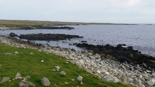
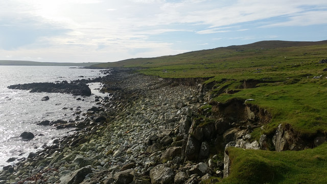
The North Ship Geo is characterized by its rugged cliffs and rocky shoreline. The cliffs, composed of layered sedimentary rocks, showcase a variety of colors, textures, and patterns, providing a visual treat for visitors. The exposed rock formations in the area are a result of ancient geological processes, including erosion and deposition.
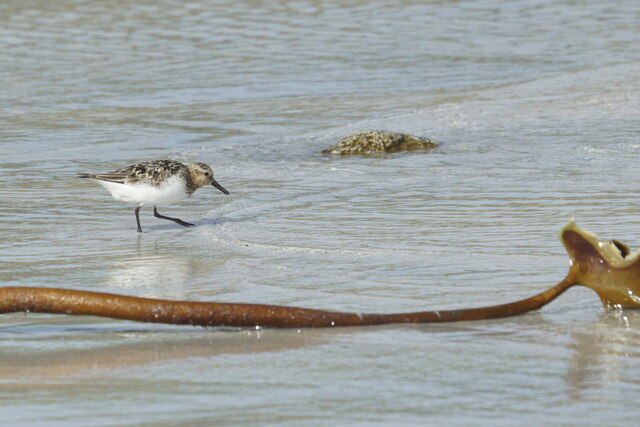
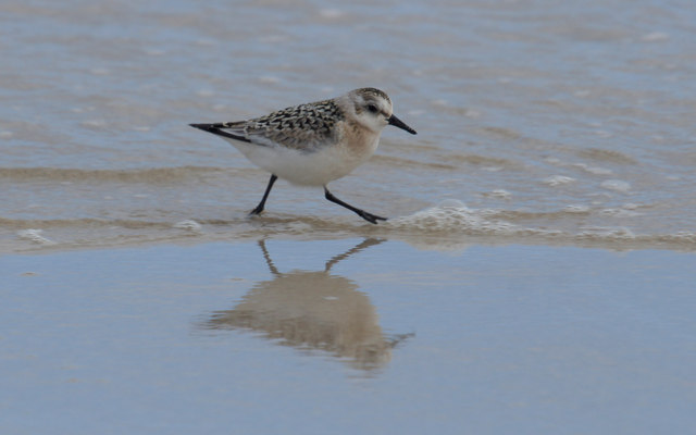
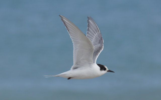
The geo is a popular spot for birdwatching enthusiasts, as it provides an ideal habitat for various seabird species. Fulmars, guillemots, puffins, and kittiwakes are among the bird species commonly observed in the area. Additionally, the surrounding waters are rich in marine life, and seals can often be seen basking on nearby rocks.
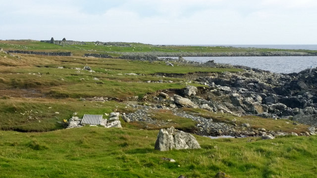
Access to North Ship Geo is possible via a designated footpath that leads down to the coastline. The path is well-maintained and offers a safe route for visitors to explore the area. It is recommended to wear appropriate footwear and exercise caution while navigating the cliffs and rocks, as they can be slippery.
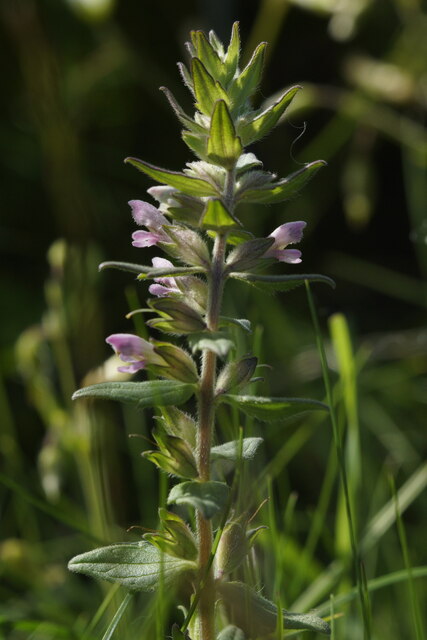
Overall, North Ship Geo is a captivating coastal feature that showcases the natural beauty and geological diversity of the Shetland Islands. It offers a peaceful retreat for nature lovers and provides an opportunity to appreciate the unique flora, fauna, and geological formations found in this remote and picturesque part of Scotland.
If you have any feedback on the listing, please let us know in the comments section below.
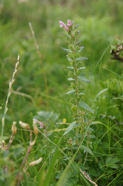
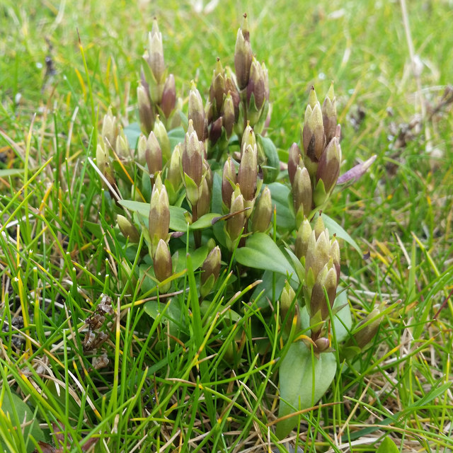
North Ship Geo Images
Images are sourced within 2km of 60.717153/-0.85876326 or Grid Reference HP6204. Thanks to Geograph Open Source API. All images are credited.


North Ship Geo is located at Grid Ref: HP6204 (Lat: 60.717153, Lng: -0.85876326)
Unitary Authority: Shetland Islands
Police Authority: Highlands and Islands
What 3 Words
///incorrect.angry.bonfires. Near Uyeasound, Shetland Islands
Nearby Locations
Related Wikis

Huney
Huney is an uninhabited island due east of the island of Unst in the Shetland Islands, Scotland. The island is located approximately 1 kilometre south...

Muness Castle
Muness Castle is located on Unst, which is one of the Shetland Islands of Scotland. The castle is 3 kilometres (1.9 mi) east of the village of Uyeasound...

Mailand, Shetland
Mailand is a hamlet in the Shetland Islands. It is on the island of Unst, the northernmost of the inhabited British Isles, near its southern coast. �...

Unst Airport
Unst Airport also called Baltasound Airport is an unlicensed airfield near Baltasound, on the island of Unst, Shetland Islands, Scotland. The airfield...
Unst
Unst (; Scots: Unst; Norn: Ønst) is one of the North Isles of the Shetland Islands, Scotland. It is the northernmost of the inhabited British Isles and...

1992 New Year's Day Storm
The New Year's Day Storm (Norwegian: Nyttårsorkanen), known in Scotland as the 'Hogmanay Hurricane', was an intense European windstorm that affected much...

Clivocast
Clivocast is a settlement on the island of Unst in the Shetland Islands, Scotland at 60.67°N 00.90°W / 60.67; -00.90 or grid reference HP6000 and is situated...
Balta Sound
Balta Sound is a sound (inlet) on the east coast of the island of Unst in the Shetland Islands, Scotland. The sound is sheltered from the North Sea to...
Have you been to North Ship Geo?
Leave your review of North Ship Geo below (or comments, questions and feedback).