Green, Lower

Settlement in Staffordshire South Staffordshire

England

Green, Lower

Sparrows End Lane-Somerford Lane Crossroads Looking across the crossroads is the entrance to Somerford Hall.
Sparrows End Lane-Somerford Lane Crossroads Credit: Mick Malpass

Green, Lower is a small village located in the county of Staffordshire, England. Situated in the Midlands region, it is part of the broader Staffordshire Moorlands district. The village is nestled in a picturesque rural setting, surrounded by rolling hills and stunning natural landscapes.

Green, Lower is known for its tranquil and idyllic atmosphere, making it a popular destination for those seeking a peaceful retreat away from the bustling city life. The village is characterized by its charming cottages, many of which showcase traditional Staffordshire architecture.

Despite its small size, Green, Lower boasts a close-knit community that is known for its warmth and friendliness. The village has a range of amenities to cater to the needs of its residents, including a local shop, pub, and a primary school. Additionally, a number of community events and activities are organized throughout the year, ensuring that there is always something happening to bring the villagers together.

For nature enthusiasts, Green, Lower offers ample opportunities to explore the great outdoors. The village is surrounded by picturesque countryside, with numerous walking and cycling routes that allow visitors to immerse themselves in the stunning natural beauty of the Staffordshire Moorlands. Additionally, the nearby Peak District National Park provides further opportunities for outdoor adventures.

In conclusion, Green, Lower is a charming and peaceful village in the heart of Staffordshire. With its beautiful surroundings and strong sense of community, it offers a delightful experience for both residents and visitors alike.

If you have any feedback on the listing, please let us know in the comments section below.
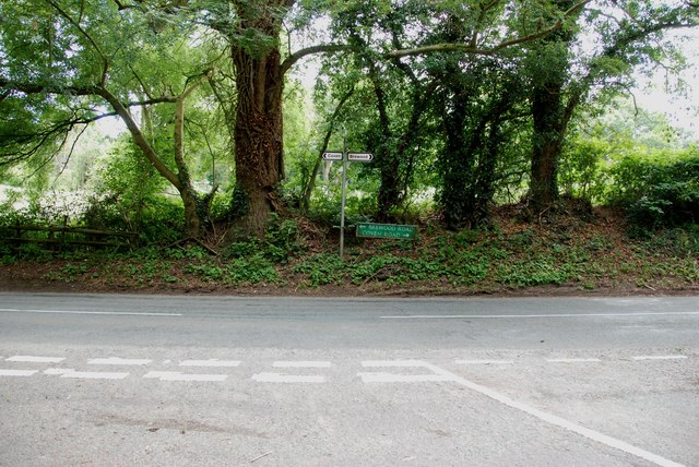
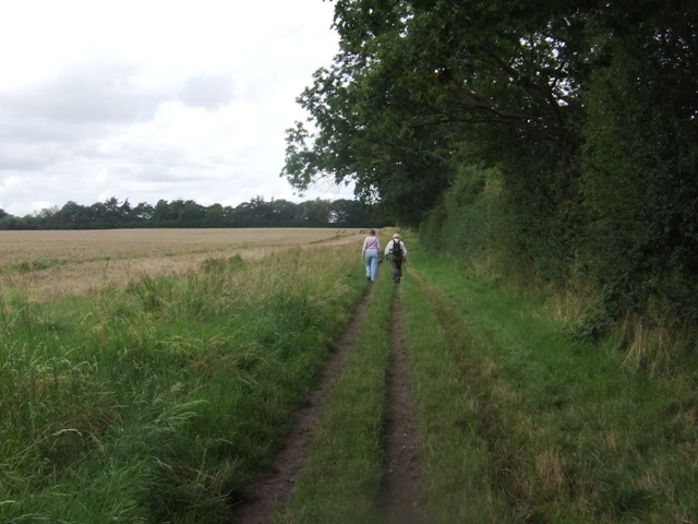
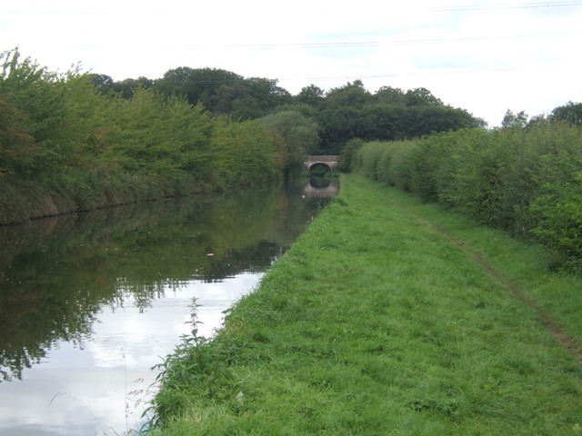
Green, Lower Images

Images are sourced within 2km of 52.661959/-2.141169 or Grid Reference SJ9007. Thanks to Geograph Open Source API. All images are credited.

Sparrows End Lane-Somerford Lane Crossroads Looking across the crossroads is the entrance to Somerford Hall.
Sparrows End Lane-Somerford Lane Crossroads
Looking across the crossroads is the entrance to Somerford Hall.
Somerford Lane meets Brewood Road-Coven Road
Walkers on the Monarchs Way Between Hunting Bridge and Port Lane.
Walkers on the Monarchs Way
Between Hunting Bridge and Port Lane.
Shropshire Union Canal - View towards Park Bridge
On top of Hunting Bridge The bridleway crosses the Shropshire Union Canal.
On top of Hunting Bridge
The bridleway crosses the Shropshire Union Canal.
The Shroppy north of Hunting Bridge
Old wharf and cottage south of Brewood, Staffordshire Chillington Wharf is now private ground. (Not to be confused with Chillington Wharf near Monmore Green in Wolverhampton).
Old wharf and cottage south of Brewood, Staffordshire
Chillington Wharf is now private ground. (Not to be confused with Chillington Wharf near Monmore Green in Wolverhampton).
Avenue Bridge south of Brewood, Staffordshire Bridge No 10 across the Shropshire Union Canal. The Avenue is a wooded corridor leading to Chillington Hall (about three kilometres or two miles off to the left).
Avenue Bridge south of Brewood, Staffordshire
Bridge No 10 across the Shropshire Union Canal. The Avenue is a wooded corridor leading to Chillington Hall (about three kilometres or two miles off to the left).
Along Coven Road Along Coven Road, at the junction with Lower Avenue.
Along Coven Road
Along Coven Road, at the junction with Lower Avenue.
Trees in Lower Avenue An oak in the woodland strip surrounding the Lower Avenue bridleway, which would once have been part of the Chillington Estate.
Trees in Lower Avenue
An oak in the woodland strip surrounding the Lower Avenue bridleway, which would once have been part of the Chillington Estate.
A small pond near Coven This looks like proper 'Mr Crabtree' fishing to me - a small pond, lily pads and overhanging trees. Must be crawling with tench, carp, perch and roach.
A small pond near Coven
This looks like proper 'Mr Crabtree' fishing to me - a small pond, lily pads and overhanging trees. Must be crawling with tench, carp, perch and roach.
The Lower Avenue bridleway On the approach to Chillington Hall from the east, this bridleway runs through the woods.
The Lower Avenue bridleway
On the approach to Chillington Hall from the east, this bridleway runs through the woods.
Avenue Bridge in the summer Visit in the autumn, and you can see rather more of the stonework of the canal bridge <a href="https://www.geograph.org.uk/photo/1603595">SJ8807 : Balustrade Bridge</a> but in the summer, it's rather obscured by vegetation.
Avenue Bridge in the summer
Visit in the autumn, and you can see rather more of the stonework of the canal bridge SJ8807 : Balustrade Bridge but in the summer, it's rather obscured by vegetation.
Cast-iron milepost - Avenue Bridge cutting One of many such posts along this stretch of the Shroppy, well cared-for by the Waterways Board (now the Rivers & Canals Trust)
Cast-iron milepost - Avenue Bridge cutting
One of many such posts along this stretch of the Shroppy, well cared-for by the Waterways Board (now the Rivers & Canals Trust)
Avenue Bridge, no 10, from the north The rather grandiose Avenue Bridge from the muddy towpath below.
Avenue Bridge, no 10, from the north
The rather grandiose Avenue Bridge from the muddy towpath below.
Chillington Bridge, no 9, on the Shroppy A farm accommodation bridge, serving as access to Park Farm.
Chillington Bridge, no 9, on the Shroppy
A farm accommodation bridge, serving as access to Park Farm.
Chillington Wharf Just north of the true (albeit now disused) wharf area at <a href="https://www.geograph.org.uk/photo/3817943">SJ8907 : Old wharf and cottage south of Brewood, Staffordshire</a> these scaffolding poles and planks or pallets lie gathering foliage on the far bank of the Shroppy.
Chillington Wharf
Just north of the true (albeit now disused) wharf area at SJ8907 : Old wharf and cottage south of Brewood, Staffordshire these scaffolding poles and planks or pallets lie gathering foliage on the far bank of the Shroppy.
Narrowboat moorings at Chillington Wharf
Show me another place!

Green, Lower is located at Grid Ref: SJ9007 (Lat: 52.661959, Lng: -2.141169)

Administrative County: Staffordshire

District: South Staffordshire

Police Authority: Staffordshire

What 3 Words

///debate.change.action. Near Coven, Staffordshire

Nearby Locations

Green, Lower Lower Green

Related Wikis

St Paul's Church, Coven

St Paul's Church, Coven is a Grade II listed parish church in the Church of England in Coven, Staffordshire == History == The church was built in 1857...

Somerford Hall

Somerford Hall is an 18th-century Palladian style mansion house at Brewood, Staffordshire. It is a Grade II* listed building. Somerford is a name of Old...

Coven, Staffordshire

Coven is a village in the district of South Staffordshire, England, near to the border with Wolverhampton. Together with Brewood it forms part of the...

Four Ashes, Staffordshire

Four Ashes is a village in the district of South Staffordshire in Staffordshire, England, located about 4 miles (6.4 km) west of Cannock, 7 miles (11 km...

Nearby Amenities

Located within 500m of 52.661959,-2.141169
Source: OS-1:25000-SJ90-1947(A)
Lat/Long: 52.6628781/-2.1438167
Mini Roundabout
Lat/Long: 52.6615559/-2.1423544
Mini Roundabout
Direction: clockwise
Lat/Long: 52.6608289/-2.1407338
Bus Stop
Brewood Road
Bus: yes
Naptan AtcoCode: 3800C619001
Naptan Bearing: N
Naptan CommonName: Brewood Road
Naptan Indicator: adj
Naptan Landmark: Brewood Road
Naptan Street: School Lane
Naptan Verified: no
Public Transport: platform
Source: naptan_import
Lat/Long: 52.6605227/-2.1359704
Bus Stop
Brewood Road
Bus: yes
Naptan AtcoCode: 3800C619002
Naptan Bearing: N
Naptan BusStopType: CUS
Naptan CommonName: Brewood Road
Naptan Indicator: opp
Naptan Street: School Lane
Naptan Verified: no
Public Transport: platform
Source: naptan_import
Lat/Long: 52.6605504/-2.1360378
Bus Stop
Sunset Close
Bus: yes
Naptan AtcoCode: 3800C619101
Naptan Bearing: N
Naptan CommonName: Sunset Close
Naptan Indicator: Adj
Naptan Landmark: Sunset Close
Naptan Street: School Lane
Naptan Verified: no
Public Transport: platform
Source: naptan_import
Lat/Long: 52.6642726/-2.1357832
Bus Stop
Sunset Close
Bus: yes
Naptan AtcoCode: 3800C619102
Naptan Bearing: S
Naptan BusStopType: CUS
Naptan CommonName: Sunset Close
Naptan Indicator: opp
Naptan Street: School Lane
Naptan Verified: no
Public Transport: platform
Source: naptan_import
Lat/Long: 52.6642725/-2.135872
Bus Stop
School Lane
Bus: yes
Naptan AtcoCode: 3800C629701
Naptan Bearing: SE
Naptan CommonName: School Lane
Naptan Indicator: Adj
Naptan Landmark: School Lane
Naptan Street: Brewood Road
Naptan Verified: no
Public Transport: platform
Source: naptan_import
Lat/Long: 52.660386/-2.1383142
Bus Stop
School Lane
Bus: yes
Naptan AtcoCode: 3800C629702
Naptan Bearing: NW
Naptan CommonName: School Lane
Naptan Indicator: Opp
Naptan Landmark: School Lane
Naptan Street: Brewood Road
Naptan Verified: no
Public Transport: platform
Source: naptan_import
Lat/Long: 52.660305/-2.1384175
Noexit: yes
Lat/Long: 52.663663/-2.140936
Barrier: kissing_gate
Lat/Long: 52.66362/-2.1382782
Power: tower
Source: Bing
Lat/Long: 52.6620827/-2.1455197
Power: tower
Source: Bing
Lat/Long: 52.6633219/-2.1415869
Power: tower
Source: Bing
Lat/Long: 52.6647215/-2.136965
Traffic Calming: chicane
Lat/Long: 52.6590488/-2.1373386
Noexit: yes
Lat/Long: 52.663344/-2.1391502
Noexit: yes
Lat/Long: 52.6634831/-2.1380693
Noexit: yes
Lat/Long: 52.6635286/-2.1366906
Noexit: yes
Lat/Long: 52.6634587/-2.1372472
Generator Method: photovoltaic
Generator Output Electricity: yes
Generator Source: solar
Generator Type: solar_photovoltaic_panel
Location: roof
Power: generator
Lat/Long: 52.659926/-2.1406737
Generator Method: photovoltaic
Generator Output Electricity: yes
Generator Source: solar
Generator Type: solar_photovoltaic_panel
Location: roof
Power: generator
Lat/Long: 52.6636775/-2.1359772
Noexit: yes
Lat/Long: 52.6635444/-2.1400218
Barrier: kissing_gate
Bicycle: no
Foot: yes
Horse: no
Motor Vehicle: no
Lat/Long: 52.6607412/-2.1355285
Barrier: kissing_gate
Lat/Long: 52.6640571/-2.1358895
Noexit: yes
Lat/Long: 52.6635546/-2.1409969
Crossing
Lat/Long: 52.6602812/-2.1377666
The data included in this document is from www.openstreetmap.org. The data is made available under ODbL.

Have you been to Green, Lower?

Leave your review of Green, Lower below (or comments, questions and feedback).