Batt Height
Coastal Feature, Headland, Point in Yorkshire
England
Batt Height
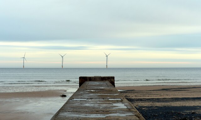
Batt Height, located in Yorkshire, is a prominent coastal feature that stands as a headland jutting out into the North Sea. This point is characterized by its rugged and steep cliffs, which provide breathtaking panoramic views of the surrounding area.
Situated near the village of Robin Hood's Bay, Batt Height is formed by the erosion of sedimentary rock over millions of years. The exposed cliffs showcase layers of different geological formations, offering insight into the region's geological history.
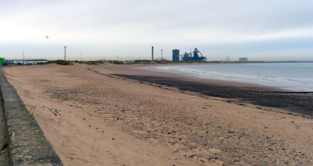
The headland is a popular destination for tourists and nature enthusiasts due to its striking beauty and diverse wildlife. Visitors can embark on coastal walks along well-maintained paths, admiring the stunning scenery and observing various seabirds nesting on the cliffs. The area is also home to numerous wildflowers that flourish in the coastal environment, adding vibrant colors to the landscape.
Batt Height is part of the Cleveland Way National Trail, a long-distance footpath that stretches along the Yorkshire coast. This trail attracts hikers from around the world, who can experience the dramatic views and immerse themselves in the rich history and culture of the area.
Additionally, Batt Height holds historical significance, as it was once a site for smuggling activities during the 18th and 19th centuries. The rugged cliffs and hidden coves provided ideal hiding spots for smugglers to bring contraband ashore, further enhancing the area's allure.
Overall, Batt Height in Yorkshire is a captivating coastal feature, offering a combination of natural beauty, geological interest, and historical intrigue, making it a must-visit destination for those exploring the Yorkshire coastline.
If you have any feedback on the listing, please let us know in the comments section below.
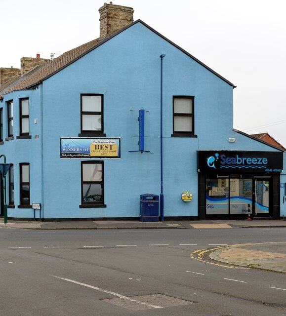
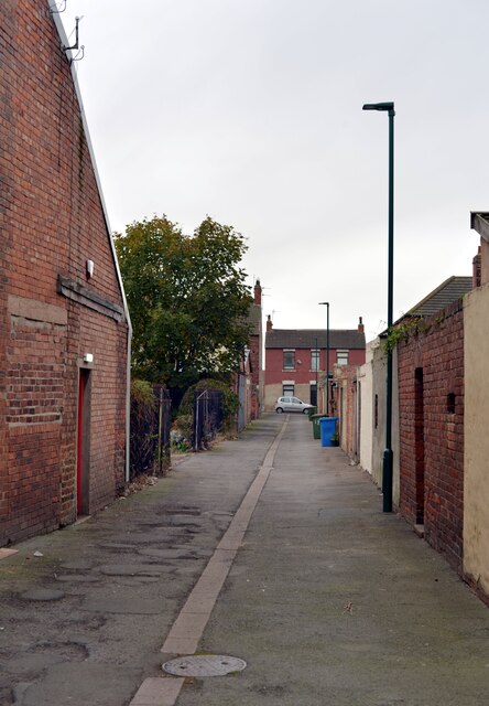
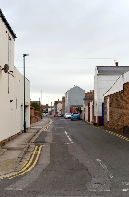
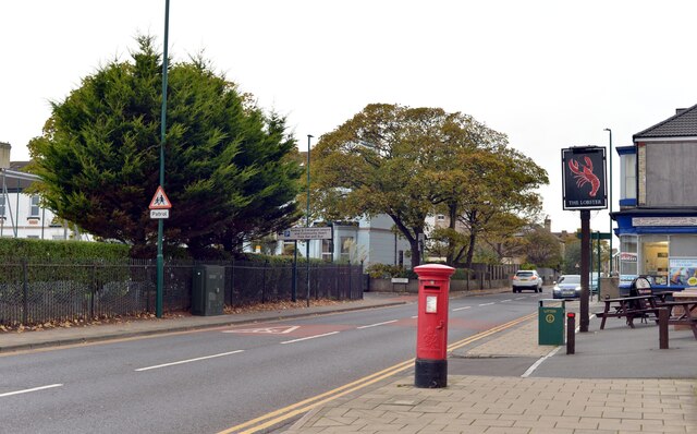
Batt Height Images
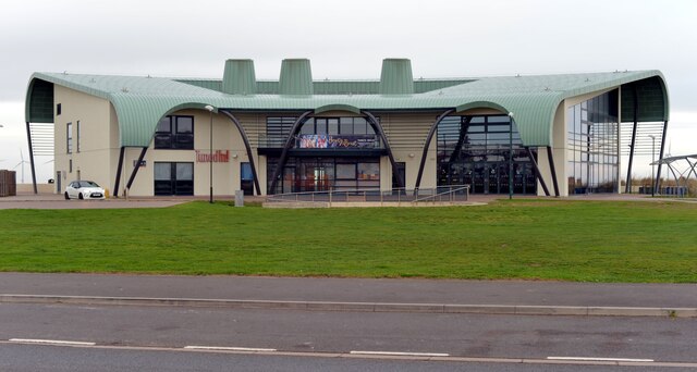
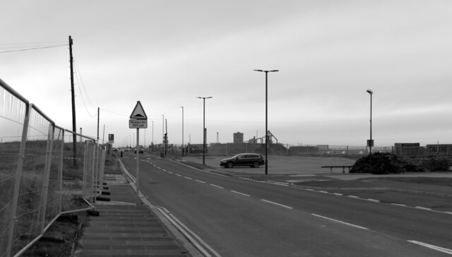
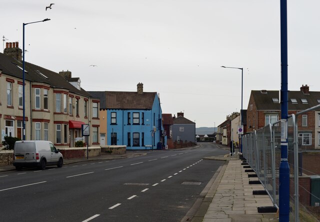
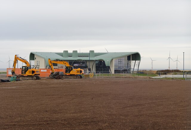
Images are sourced within 2km of 54.626466/-1.0552224 or Grid Reference NZ6126. Thanks to Geograph Open Source API. All images are credited.
Batt Height is located at Grid Ref: NZ6126 (Lat: 54.626466, Lng: -1.0552224)
Division: North Riding
Unitary Authority: Redcar and Cleveland
Police Authority: Cleveland
What 3 Words
///books.saga.overlaps. Near Redcar, North Yorkshire
Nearby Locations
Related Wikis

Redcar Pier
Redcar Pier was a Victorian pleasure and landing pier constructed on The Esplanade in the seaside town of Redcar on the north east coast of Yorkshire,...

Redcar Rocks
Redcar Rocks (grid reference NZ612203) is a 31.1 hectare biological and geological Site of Special Scientific Interest in North Yorkshire, England notified...
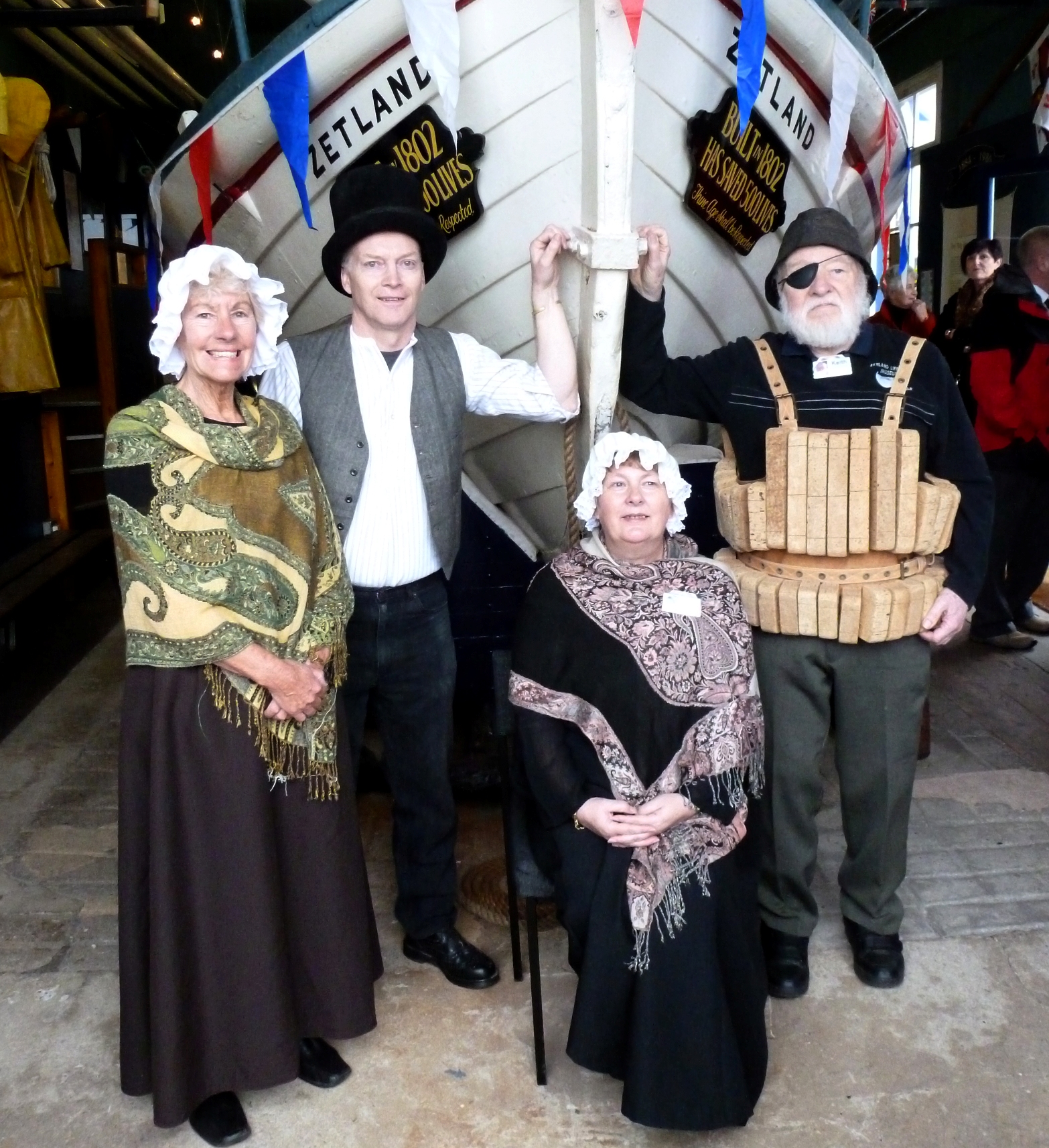
Zetland (lifeboat)
The Zetland is the oldest surviving lifeboat in the world. It is currently in a free museum in Redcar, England. The name Zetland comes from the local Lord...

Redcar Lifeboat Station
Redcar Lifeboat Station is a Royal National Lifeboat Institution (RNLI) lifeboat station based in the town of Redcar in North Yorkshire, England. The station...
Coatham Pier
Coatham Pier or Victoria Pier, Coatham, was a pleasure pier built on Newcomen Terrace in the Coatham area of Redcar on the north-east Yorkshire coast....

St Peter's Church, Redcar
St Peter's Church is an Anglican parish church in Redcar, Redcar and Cleveland, North Yorkshire, England. It was designed in 1829 by Ignatius Bonomi from...

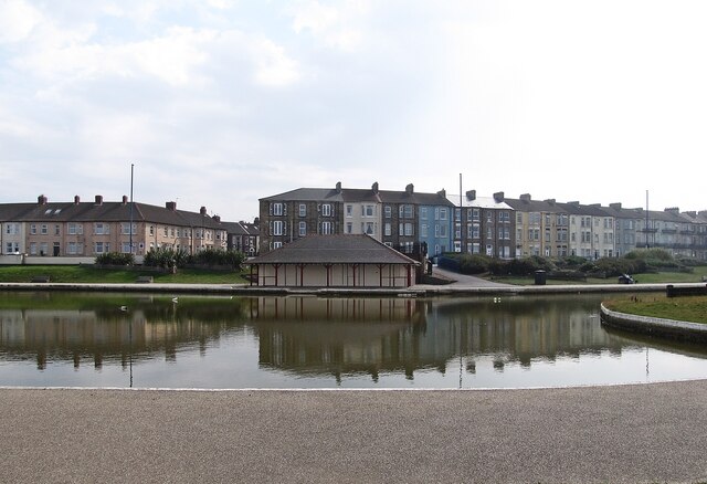
Redcar
Redcar is a seaside town on the Yorkshire Coast in the Redcar and Cleveland unitary authority in the ceremonial county of North Yorkshire, England. It...
Redcar Jazz Club
Redcar Jazz Club was a music venue located in the seaside town of Redcar, North Yorkshire, England. It was a regular stop for up-and-coming rock musicians...
Have you been to Batt Height?
Leave your review of Batt Height below (or comments, questions and feedback).