Millsie Geo
Coastal Feature, Headland, Point in Shetland
Scotland
Millsie Geo
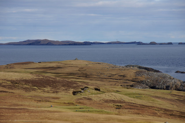
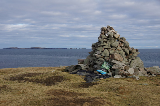
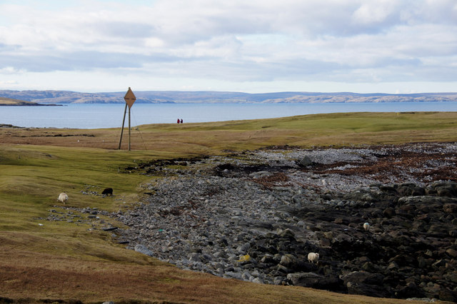
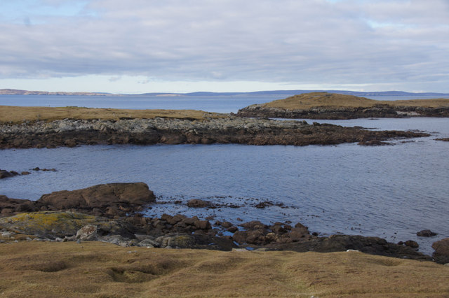
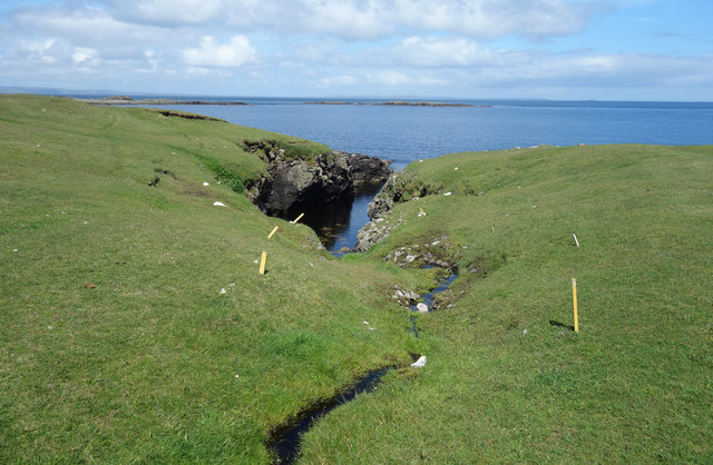
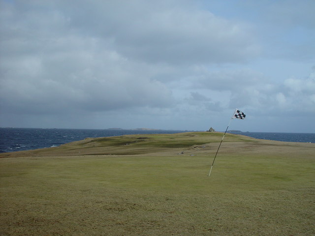
Millsie Geo is a prominent coastal feature located on the Shetland Islands in Scotland. It is classified as a headland, also known as a point, and is situated on the western coastline of the island.
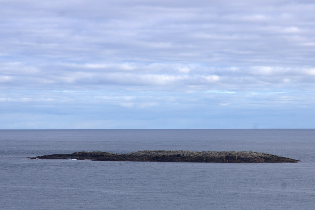
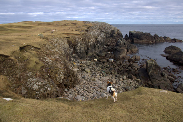
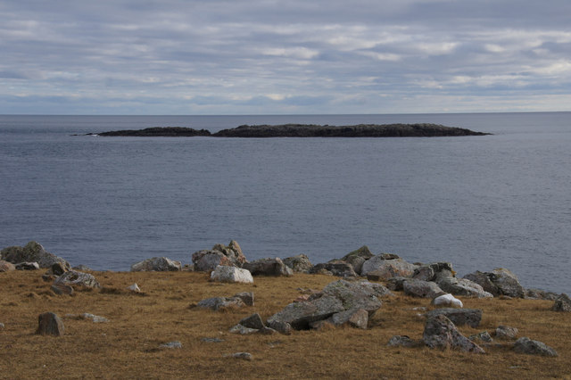
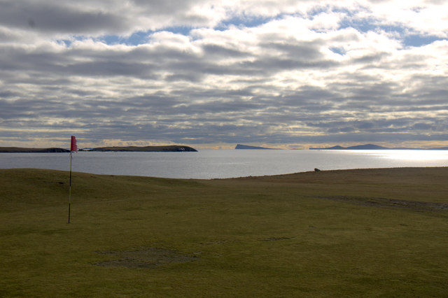
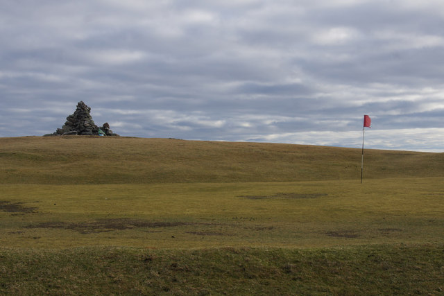
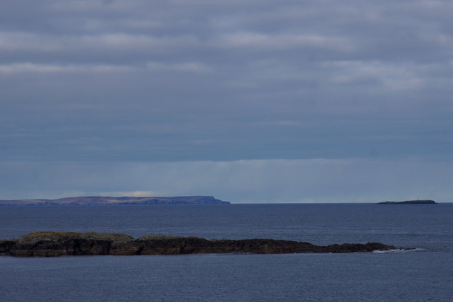
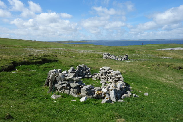
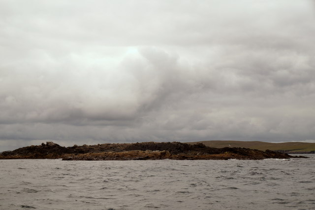
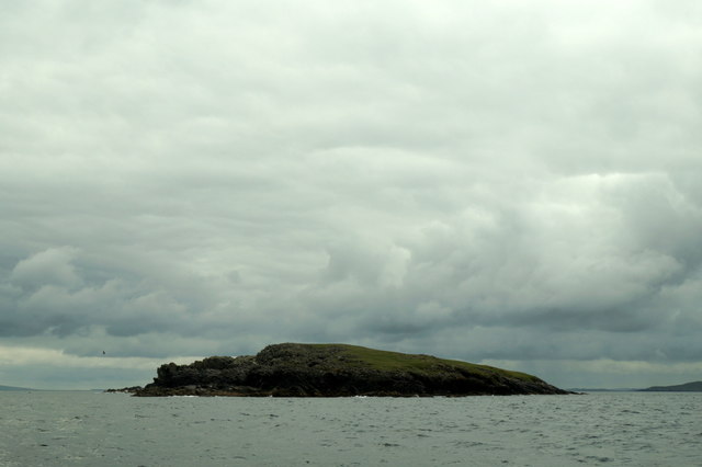
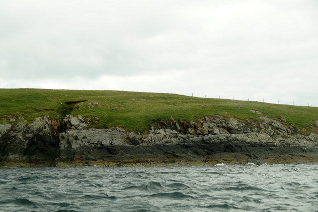
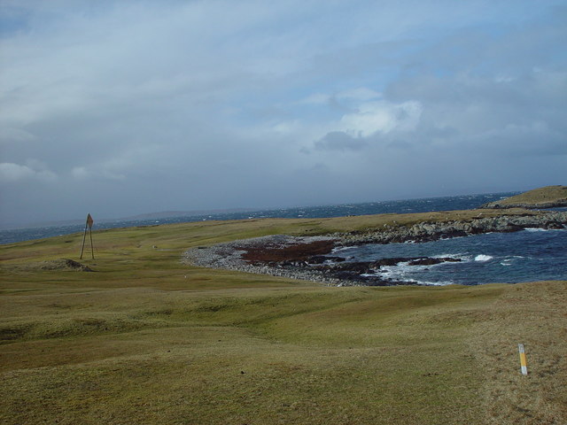
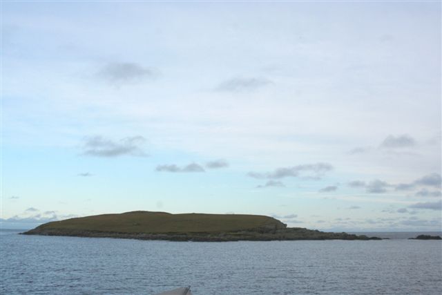
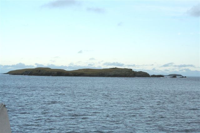
Millsie Geo is characterized by its rugged and rocky terrain, with steep cliffs that rise dramatically from the sea below. The headland offers breathtaking panoramic views of the surrounding coastline and the vast Atlantic Ocean. It is a popular spot for nature enthusiasts, photographers, and hikers who are attracted to its natural beauty and unique geological formations.
The area surrounding Millsie Geo is rich in biodiversity, with an abundance of bird species such as puffins, guillemots, and fulmars nesting in the cliffs. Seals can also be spotted basking on the rocks, while occasional sightings of whales and dolphins are not uncommon in the surrounding waters.
Access to Millsie Geo is relatively easy, with a well-maintained footpath leading visitors to the headland. However, caution is advised when approaching the cliff edges due to their steep and potentially dangerous nature.
In addition to its natural beauty, Millsie Geo also holds historical significance. The headland is believed to have been used by Vikings as a lookout point during their time on the Shetland Islands, adding to its allure for history enthusiasts.
Overall, Millsie Geo is a captivating coastal feature that showcases the raw, untamed beauty of the Shetland Islands. Its stunning vistas, diverse wildlife, and historical significance make it a must-visit destination for anyone exploring this remote corner of Scotland.
If you have any feedback on the listing, please let us know in the comments section below.
Millsie Geo Images
Images are sourced within 2km of 60.379481/-0.90888114 or Grid Reference HU6066. Thanks to Geograph Open Source API. All images are credited.
Millsie Geo is located at Grid Ref: HU6066 (Lat: 60.379481, Lng: -0.90888114)
Unitary Authority: Shetland Islands
Police Authority: Highlands and Islands
What 3 Words
///animal.hospitals.violinist. Near Symbister, Shetland Islands
Nearby Locations
Related Wikis

Inner Holm of Skaw
The Inner Holm of Skaw is a small, uninhabited islet off the northern tip of the island of Whalsay, in the Shetland Islands of Scotland, north of the village...

Skaw, Whalsay
Skaw is a village in the extreme northeast of Whalsay in the parish of Nesting in the Shetland Islands of Scotland. It is mainly a crofting area. Whalsay...
Whalsay Airstrip
Whalsay Airstrip is located at the village of Skaw in the northern end of the island of Whalsay, Shetland, Scotland. It is the only airfield serving the...
Outer Holm of Skaw
The Outer Holm of Skaw is a small, uninhabited islet, a rock outlier off the northeast coast of the island of Whalsay, in the Shetland Islands of Scotland...
Nista
Nista is a small islet of the Shetland Islands of Scotland, situated roughly 2 kilometres (1.2 mi) east off the coast of Whalsay. It lies to the north...
Mooa
Mooa is a small islet of the Shetland Islands of Scotland, situated roughly 2 kilometres (1.2 mi) east off the coast of Whalsay. It lies to the north of...

Standing Stones of Yoxie
The Standing Stones of Yoxie is a Neolithic site in the parish of Nesting on the northeastern coast of Whalsay, in the Shetland islands of Scotland. It...
Benie Hoose
Benie Hoose, also Bunyie Hoose, is a Neolithic site in the parish of Nesting, northeastern Whalsay, in the Shetland Islands of Scotland. It is located...
Nearby Amenities
Located within 500m of 60.379481,-0.90888114Have you been to Millsie Geo?
Leave your review of Millsie Geo below (or comments, questions and feedback).