Sponger Point
Coastal Feature, Headland, Point in Shetland
Scotland
Sponger Point
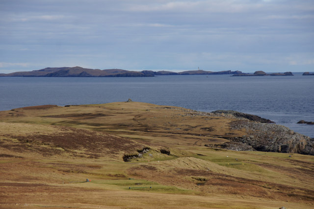
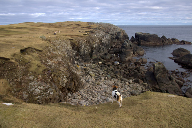
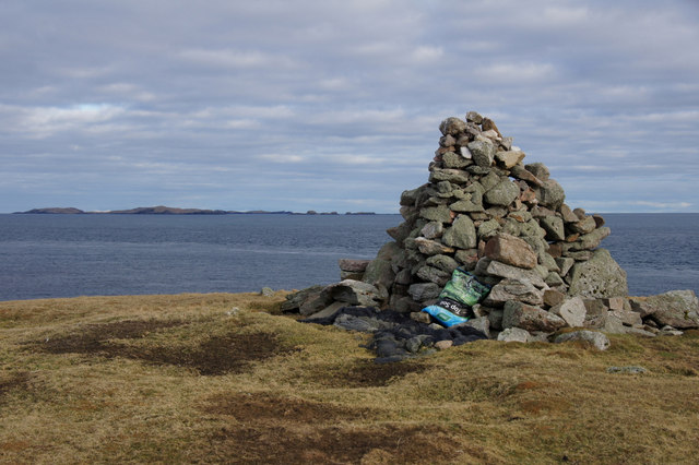
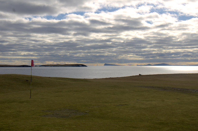
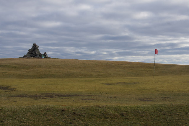
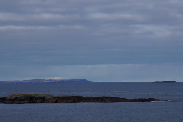
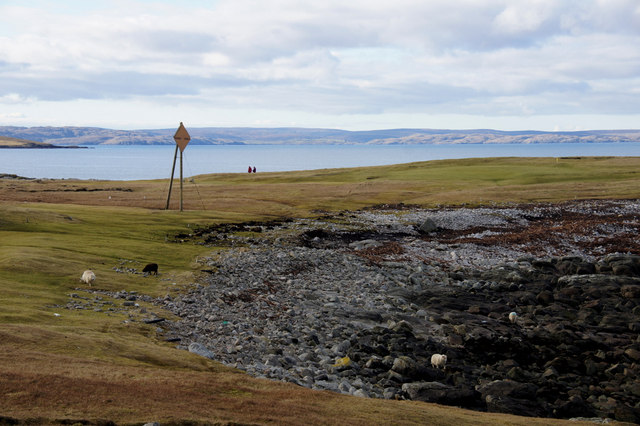
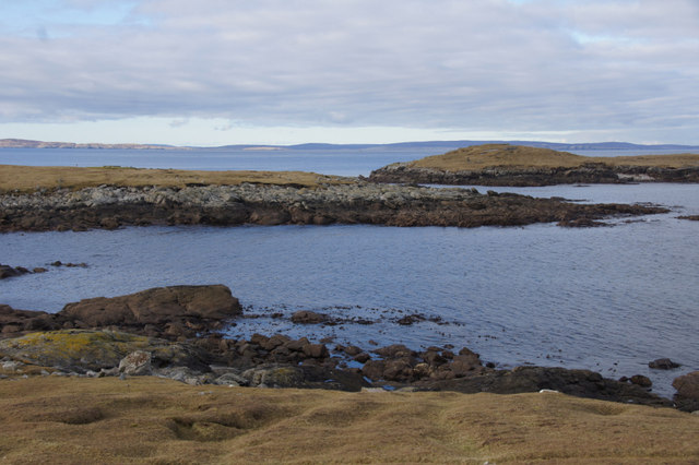
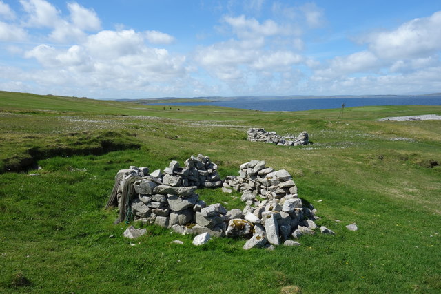
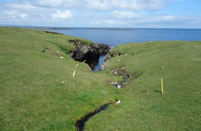
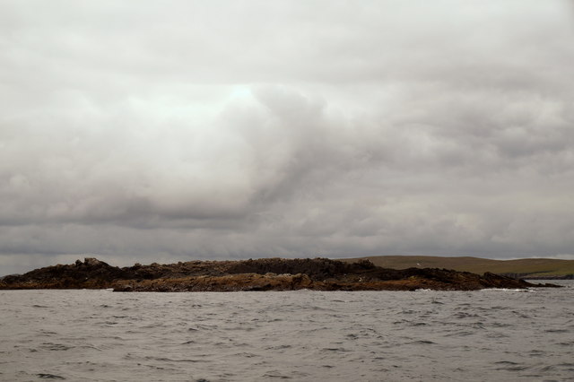
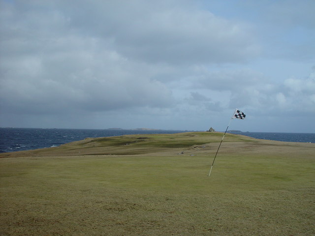
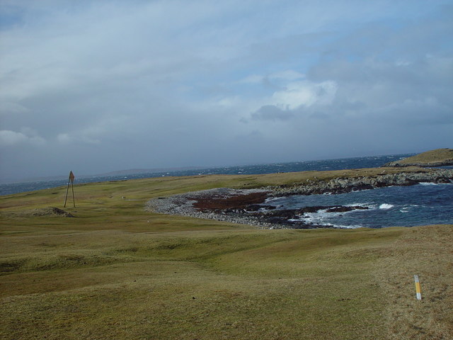
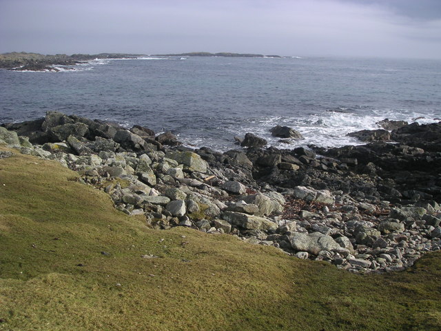
Sponger Point is a prominent coastal feature located on the island of Shetland, Scotland. It is classified as a headland and is situated on the western coast of the island, overlooking the North Atlantic Ocean. The point is known for its rugged and dramatic cliffs that rise vertically from the sea, offering breathtaking views of the surrounding landscape.
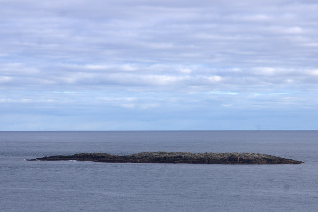
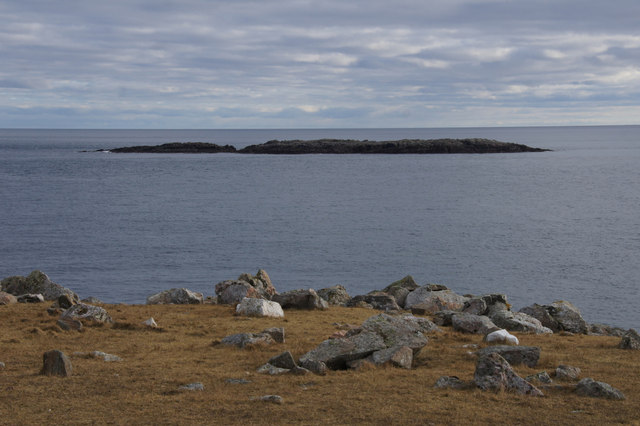
The rock formations at Sponger Point are primarily composed of sandstone and are characterized by their striking red and brown hues. These cliffs are a result of millions of years of geological activity, shaped by the erosive forces of wind and waves. The constant pounding of the ocean has created caves, arches, and stacks along the shoreline, adding to the scenic beauty of the area.
Sponger Point is also home to a diverse range of flora and fauna. The coastal grasslands provide habitat for various plant species, including wildflowers, heather, and grasses. Seabirds such as fulmars, guillemots, and puffins can be spotted nesting along the cliffs, while seals and otters can often be seen in the surrounding waters.
The point is a popular destination for hikers, nature enthusiasts, and photographers, who are drawn to its stunning natural beauty and the opportunity to explore the rugged coastline. Several walking trails lead to Sponger Point, offering visitors the chance to immerse themselves in the wild and untamed landscape of Shetland.
Overall, Sponger Point is a remarkable coastal feature that showcases the raw power of nature and provides a glimpse into the geological and ecological wonders of the Shetland Islands.
If you have any feedback on the listing, please let us know in the comments section below.
Sponger Point Images
Images are sourced within 2km of 60.38474/-0.9151814 or Grid Reference HU5967. Thanks to Geograph Open Source API. All images are credited.
Sponger Point is located at Grid Ref: HU5967 (Lat: 60.38474, Lng: -0.9151814)
Unitary Authority: Shetland Islands
Police Authority: Highlands and Islands
What 3 Words
///belief.discloses.bulbs. Near Symbister, Shetland Islands
Nearby Locations
Related Wikis

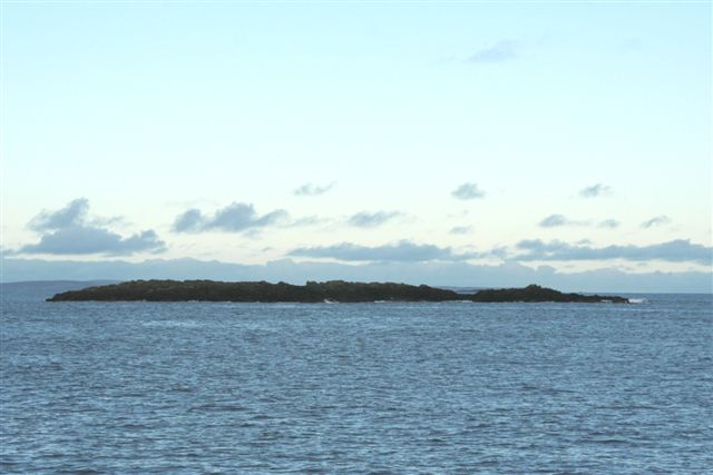
Inner Holm of Skaw
The Inner Holm of Skaw is a small, uninhabited islet off the northern tip of the island of Whalsay, in the Shetland Islands of Scotland, north of the village...
Outer Holm of Skaw
The Outer Holm of Skaw is a small, uninhabited islet, a rock outlier off the northeast coast of the island of Whalsay, in the Shetland Islands of Scotland...

Skaw, Whalsay
Skaw is a village in the extreme northeast of Whalsay in the parish of Nesting in the Shetland Islands of Scotland. It is mainly a crofting area. Whalsay...
Whalsay Airstrip
Whalsay Airstrip is located at the village of Skaw in the northern end of the island of Whalsay, Shetland, Scotland. It is the only airfield serving the...
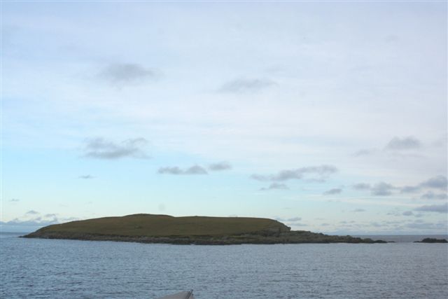
Nista
Nista is a small islet of the Shetland Islands of Scotland, situated roughly 2 kilometres (1.2 mi) east off the coast of Whalsay. It lies to the north...

West Loch of Skaw
West Loch of Skaw is a loch of northern-central Whalsay, Shetland Islands, Scotland, to the southwest of the village of Skaw, Whalsay. == References ==

Standing Stones of Yoxie
The Standing Stones of Yoxie is a Neolithic site in the parish of Nesting on the northeastern coast of Whalsay, in the Shetland islands of Scotland. It...
Pettigarths Field Cairns
The Pettigarths Field Cairns is a Neolithic site in the parish of Nesting, northeastern Whalsay, in the Shetland islands of Scotland. It is located approximately...
Nearby Amenities
Located within 500m of 60.38474,-0.9151814Have you been to Sponger Point?
Leave your review of Sponger Point below (or comments, questions and feedback).