Ballie Geo
Coastal Feature, Headland, Point in Shetland
Scotland
Ballie Geo

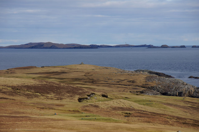
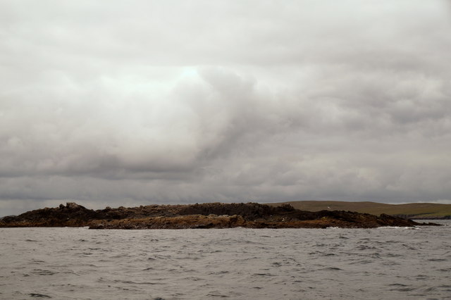
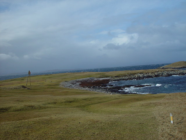
Ballie Geo is a prominent coastal feature located in the Shetland Islands, situated off the north coast of Scotland. It is primarily known for being a headland or point that juts out into the North Sea. The exact coordinates of Ballie Geo are approximately 60.388°N latitude and 1.235°W longitude.
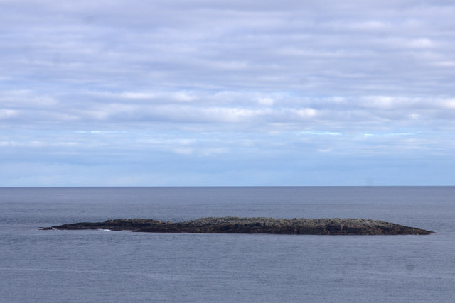
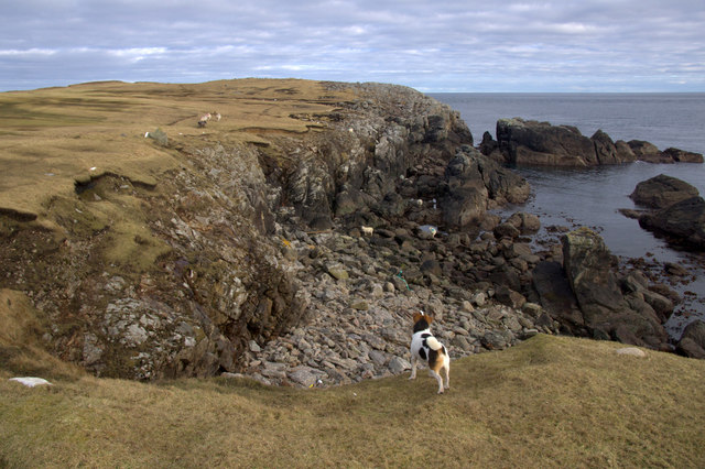
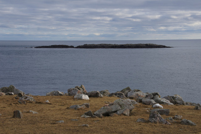
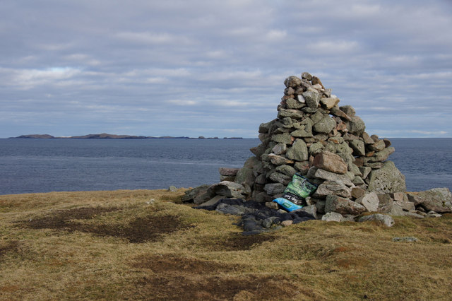
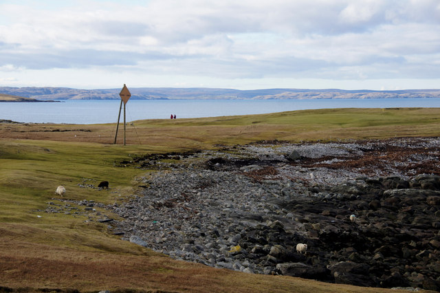
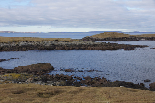
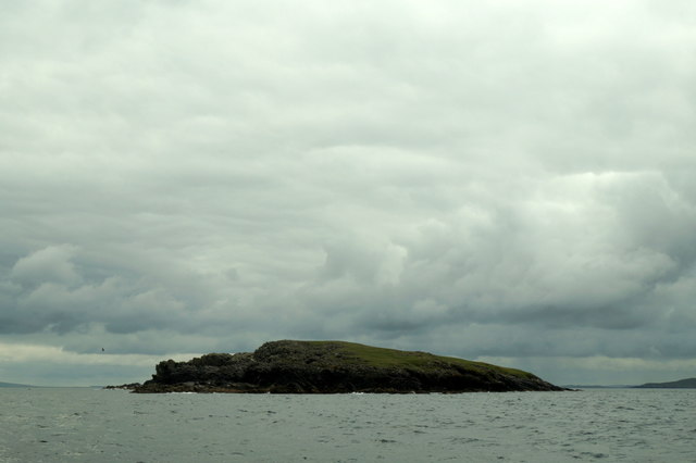
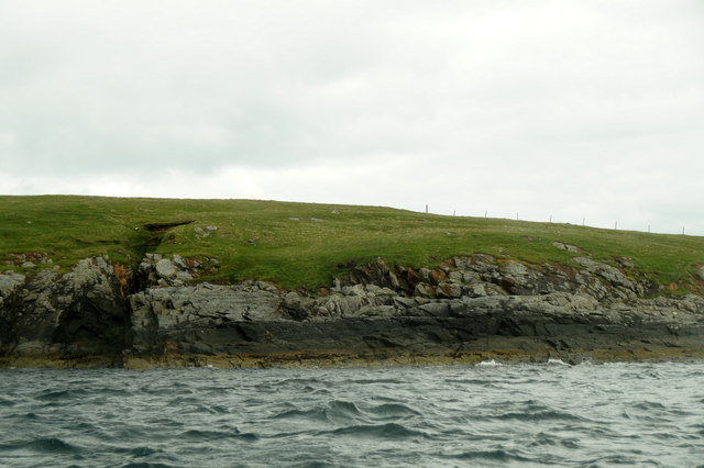
This picturesque headland is characterized by its rugged cliffs and rocky shoreline, which are constantly shaped by the powerful waves of the North Sea. The cliffs at Ballie Geo can reach impressive heights, providing a stunning backdrop against the blue waters below. The headland itself is made up of a mixture of sedimentary rocks, including sandstone and shale, which have been formed over millions of years.
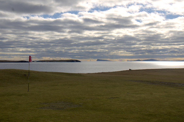
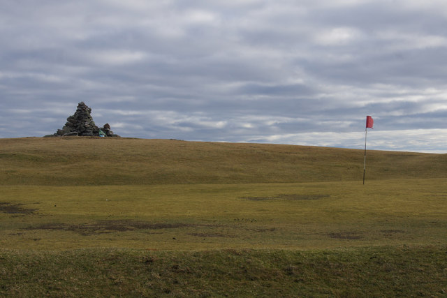
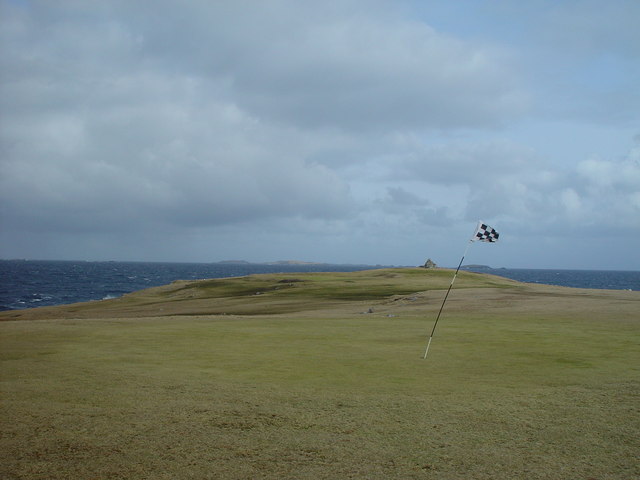
Ballie Geo is a popular destination for nature enthusiasts and outdoor adventurers. Its unique coastal landscape offers breathtaking views and an opportunity to witness the forces of nature at work. Visitors can explore the headland and its surrounding areas, taking in the beauty of the cliffs, the sound of crashing waves, and the abundance of seabirds that nest in the cliffs' crevices.
In addition to its natural beauty, Ballie Geo is also rich in history and cultural significance. The Shetland Islands have a long and storied past, and the headland has likely played a role in the lives of those who have inhabited the area throughout the centuries. The headland's strategic location and commanding views of the sea would have made it an ideal vantage point for early settlers and later inhabitants.
Overall, Ballie Geo is a captivating coastal feature that showcases the raw beauty of the Shetland Islands. Its rugged cliffs, panoramic views, and historical significance make it a must-visit destination for anyone exploring this remote and enchanting region.
If you have any feedback on the listing, please let us know in the comments section below.
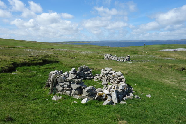
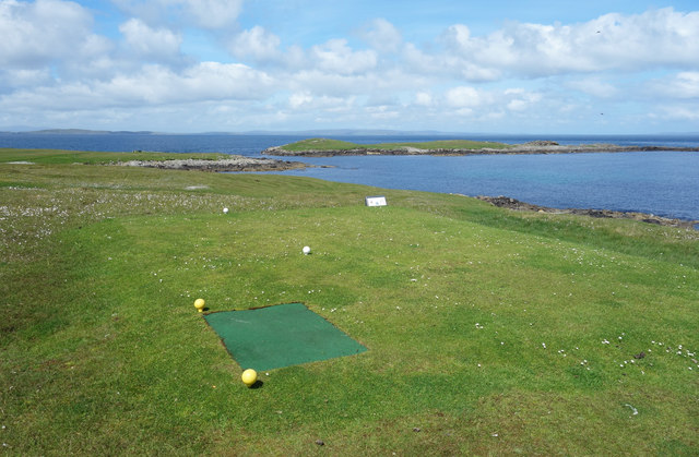
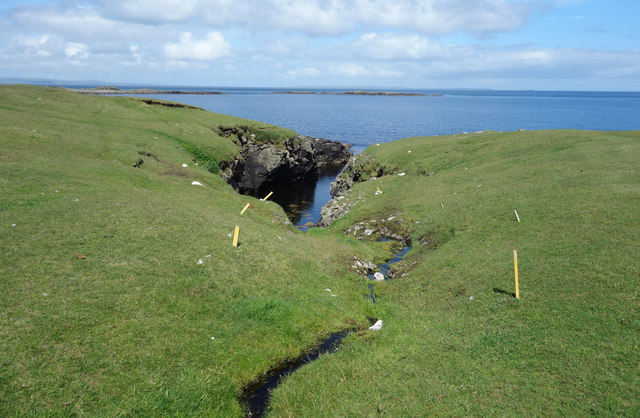
Ballie Geo Images
Images are sourced within 2km of 60.373044/-0.92567074 or Grid Reference HU5965. Thanks to Geograph Open Source API. All images are credited.
Ballie Geo is located at Grid Ref: HU5965 (Lat: 60.373044, Lng: -0.92567074)
Unitary Authority: Shetland Islands
Police Authority: Highlands and Islands
What 3 Words
///cunning.curated.justifies. Near Symbister, Shetland Islands
Nearby Locations
Related Wikis

Whalsay Airstrip
Whalsay Airstrip is located at the village of Skaw in the northern end of the island of Whalsay, Shetland, Scotland. It is the only airfield serving the...

Skaw, Whalsay
Skaw is a village in the extreme northeast of Whalsay in the parish of Nesting in the Shetland Islands of Scotland. It is mainly a crofting area. Whalsay...

Standing Stones of Yoxie
The Standing Stones of Yoxie is a Neolithic site in the parish of Nesting on the northeastern coast of Whalsay, in the Shetland islands of Scotland. It...
Benie Hoose
Benie Hoose, also Bunyie Hoose, is a Neolithic site in the parish of Nesting, northeastern Whalsay, in the Shetland Islands of Scotland. It is located...
Pettigarths Field Cairns
The Pettigarths Field Cairns is a Neolithic site in the parish of Nesting, northeastern Whalsay, in the Shetland islands of Scotland. It is located approximately...

West Loch of Skaw
West Loch of Skaw is a loch of northern-central Whalsay, Shetland Islands, Scotland, to the southwest of the village of Skaw, Whalsay. == References ==
Inner Holm of Skaw
The Inner Holm of Skaw is a small, uninhabited islet off the northern tip of the island of Whalsay, in the Shetland Islands of Scotland, north of the village...
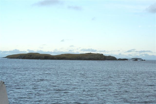
Mooa
Mooa is a small islet of the Shetland Islands of Scotland, situated roughly 2 kilometres (1.2 mi) east off the coast of Whalsay. It lies to the north of...
Nearby Amenities
Located within 500m of 60.373044,-0.92567074Have you been to Ballie Geo?
Leave your review of Ballie Geo below (or comments, questions and feedback).