Godney, Lower

Settlement in Somerset Mendip

England

Godney, Lower

Works by Lewis's Drove Part of a peat works north of the junction with Westhay Moor Drove.
Works by Lewis's Drove Credit: Derek Harper

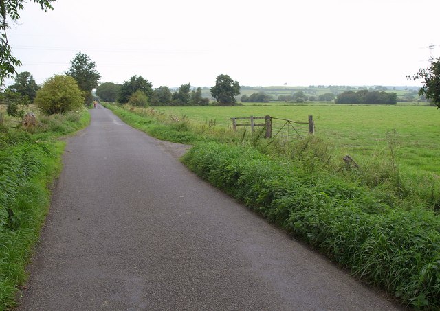
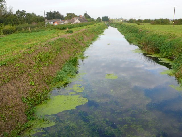
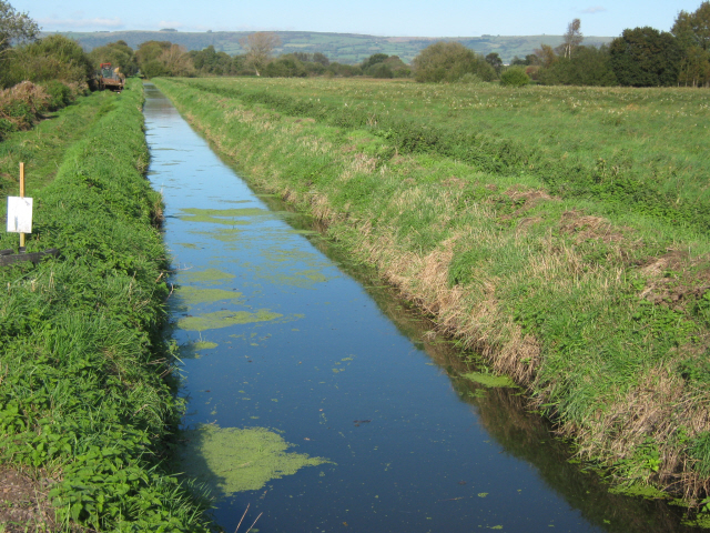
Godney is a small village located in the county of Somerset, in southwest England. Situated on the banks of the River Sheppey, it is part of the Mendip district and lies about 3 miles west of Glastonbury. The village is nestled amidst picturesque countryside, with rolling hills and charming farmland surrounding it.

The name Godney is believed to derive from "God's Island," as the village is surrounded by marshland and was historically an island-like area during heavy flooding. Today, the village is connected to the mainland by a causeway, which provides access to the local community and visitors.

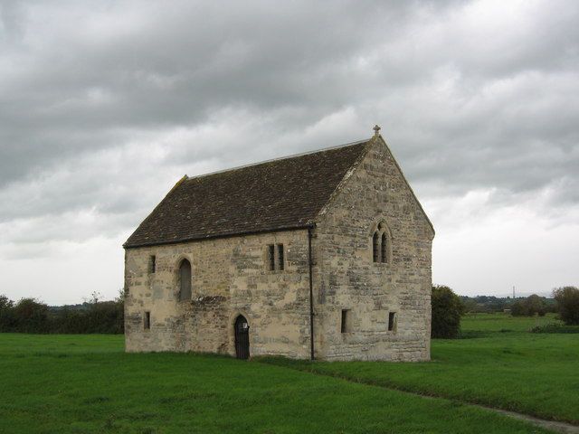
Godney is known for its historical significance, with records dating back to the Domesday Book of 1086. The village features a delightful 14th-century church dedicated to St. John the Baptist, which stands prominently at its heart. The church, with its unique architectural style and beautiful stained glass windows, is a popular attraction for visitors interested in medieval history and religious heritage.

The village is also renowned for its annual music festival, the Godney Gathering, which takes place in the nearby fields. The festival attracts music enthusiasts from across the region, offering a diverse lineup of local and national acts in a family-friendly environment.

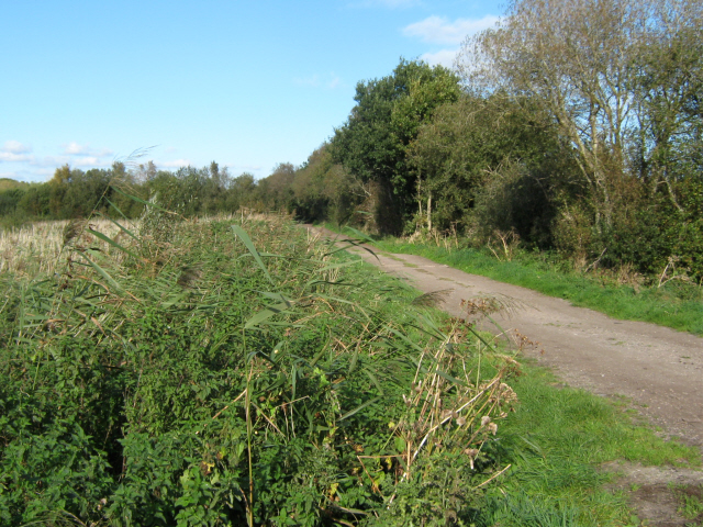
Although small in size, Godney offers a close-knit community atmosphere and is home to a handful of local amenities, including a village hall and a traditional country pub. The surrounding countryside provides ample opportunities for outdoor activities such as walking, cycling, and fishing, making Godney an appealing destination for nature lovers and those seeking a peaceful retreat.

If you have any feedback on the listing, please let us know in the comments section below.

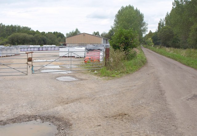
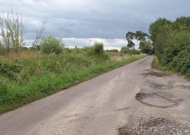
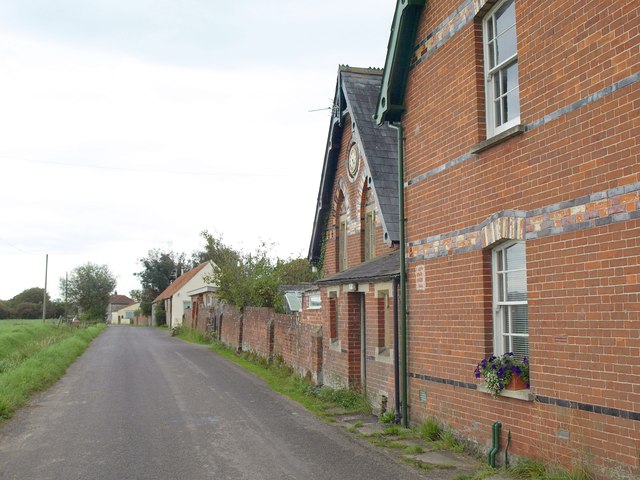
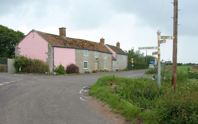
Godney, Lower Images

Images are sourced within 2km of 51.180761/-2.756084 or Grid Reference ST4742. Thanks to Geograph Open Source API. All images are credited.

Works by Lewis's Drove Part of a peat works north of the junction with Westhay Moor Drove.
Works by Lewis's Drove
Part of a peat works north of the junction with Westhay Moor Drove.
Lewis's Drove Looking in the other direction from the spot where <a href="https://www.geograph.org.uk/photo/2589308">ST4643 : Works by Lewis's Drove</a> was taken. A tractor and trailer from the peat works has just reached the T-junction with Westhay Moor Drove near the pine trees.
Lewis's Drove
Looking in the other direction from the spot where ST4643 : Works by Lewis's Drove was taken. A tractor and trailer from the peat works has just reached the T-junction with Westhay Moor Drove near the pine trees.
Levels near Godney A view from Westhay Moor Drive towards Lower Godney, with a rhyne in the foreground.
Levels near Godney
A view from Westhay Moor Drive towards Lower Godney, with a rhyne in the foreground.
Crossroads near Lower Godney Westhay Moor Drove (foreground) meets Tilley's Drove and continues ahead as Tripps Drove.
Crossroads near Lower Godney
Westhay Moor Drove (foreground) meets Tilley's Drove and continues ahead as Tripps Drove.
Tilley's Drove Approaching Lower Godney, which is strung out between a road and the River Sheppey.
Tilley's Drove
Approaching Lower Godney, which is strung out between a road and the River Sheppey.
Sheppey Inn, Godney Would you believe it - the pub's shut on Monday lunchtime!
Sheppey Inn, Godney
Would you believe it - the pub's shut on Monday lunchtime!
River Sheppey East of Lower Godney, looking towards Godney Farm. In the distance on the right, Glastonbury Tor. It's very dark and starting to rain.
River Sheppey
East of Lower Godney, looking towards Godney Farm. In the distance on the right, Glastonbury Tor. It's very dark and starting to rain.
Former school, Upper Godney Some polychrome brickwork makes these Vicrotian buildings distinctive.
Former school, Upper Godney
Some polychrome brickwork makes these Vicrotian buildings distinctive.
Junction, Godney See also <a href="https://www.geograph.org.uk/photo/2065537">ST4942 : Lane junction at Godney</a>, with a different view of the junction.
Junction, Godney
See also ST4942 : Lane junction at Godney, with a different view of the junction.
Godney Drove Running across the levels between Godney and Bleadney, becoming Yeap's Drove further north. It's starting to rain heavily.
Godney Drove
Running across the levels between Godney and Bleadney, becoming Yeap's Drove further north. It's starting to rain heavily.
Rice Farm The farm stand on the south side of the River Brue just to the west of Glastonbury.
Rice Farm
The farm stand on the south side of the River Brue just to the west of Glastonbury.
Abbot's Fish House, Meare
Archway, Westhay Moor Nature Reserve
Oak's Drove, Westhay Moor
Peat Workings, Westhay Moor
Drainage ditch, Westhay Moor The Mendip Hills in the distance
Drainage ditch, Westhay Moor
The Mendip Hills in the distance
Field gate on Westhay Moor Drove
Church of the Holy Trinity Godney
Show me another place!

Godney, Lower is located at Grid Ref: ST4742 (Lat: 51.180761, Lng: -2.756084)

Administrative County: Somerset

District: Mendip

Police Authority: Avon and Somerset

What 3 Words

///recliner.scrambles.meatball. Near Glastonbury, Somerset

Nearby Locations

Godney, Lower Lower Godney

Related Wikis

Godney

Godney is a village and civil parish near Glastonbury on the River Sheppey on the Somerset Levels in the Mendip district of Somerset, England. == History... ==

Holy Trinity Church, Godney

Holy Trinity Church is a former Church of England church in Godney, Somerset, England. Designed by George Phillips Manners, it was built in 1839–41 and...

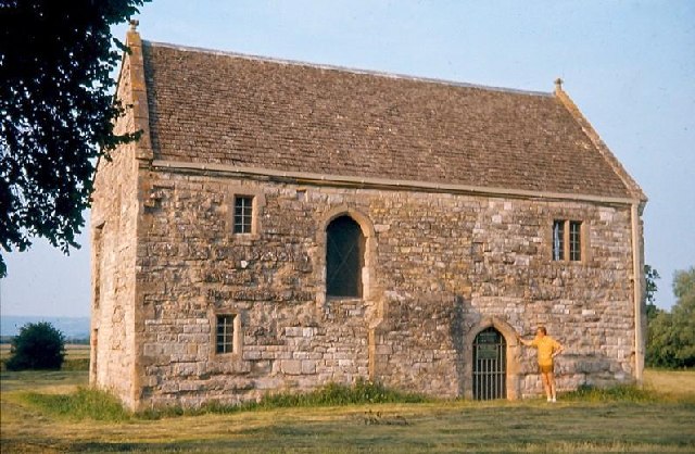
The Abbot's Fish House, Meare

The Abbot's Fish House in Meare, Somerset, England, was built in the 14th century and has been designated as a Grade I listed building and Scheduled Ancient...

Meare Pool

Meare Pool (also known as Ferlingmere, Ferran Mere or Meare fish pool) was a lake in the Somerset Levels in South West England. Lake villages existed there...

Manor Farmhouse, Meare

The Manor Farmhouse in Meare, Somerset, England, was built in the 14th century as the summer residence of the Abbots from Glastonbury Abbey and is now...

Meare

Meare is a village and civil parish in Somerset, England, 3 miles (4.8 km) north-west of Glastonbury on the Somerset Levels. The parish includes the village...

Westhay Moor

Westhay Moor (sometimes, historically, referred to as West Hay Moor) is a 513.7-hectare (1,269-acre) biological Site of Special Scientific Interest 2.5...

Whitelake River

The Whitelake River is a small river on the Somerset Levels, England. The river rises between two low limestone ridges, part of the southern edge of the...

Nearby Amenities

Located within 500m of 51.180761,-2.756084
Lower Godney
Place: hamlet
Source: npe
Lat/Long: 51.1809984/-2.7557889
Colour: grey
Design: three-level
Height: 4.01
Line Attachment: suspension
Material: metal
Operator: National Grid
Operator Wikidata: Q1465461
Power: tower
Ref: ZG080
Source: Bing
Start Date: 1960
Structure: lattice
Lat/Long: 51.1851615/-2.7561124
Pub
The Sheppey Inn
Addr City: Glastonbury
Addr Postcode: BA5 1RZ
Addr Street: Lower Godney
Email: hi@thesheppey.co.uk
Outdoor Seating: yes
Phone: +44 1458 831594
Smoking: outside
Lat/Long: 51.181826/-2.7502722
Power: pole
Source: bing
Transformer: distribution
Lat/Long: 51.1806696/-2.7575442
Power: pole
Source: bing
Lat/Long: 51.1807234/-2.7522495
Power: pole
Source: bing
Transformer: distribution
Lat/Long: 51.1812009/-2.7548312
Power: pole
Source: bing
Lat/Long: 51.1807041/-2.7535705
Power: pole
Source: bing
Lat/Long: 51.1806999/-2.7548701
Power: pole
Source: bing
Lat/Long: 51.1807167/-2.7511069
Power: pole
Source: bing
Lat/Long: 51.1806696/-2.7588531
Poles: bipole
Power: pole
Source: bing
Transformer: distribution
Lat/Long: 51.1813422/-2.7590275
Power: pole
Source: bing
Lat/Long: 51.1791429/-2.759513
Power: pole
Source: bing
Lat/Long: 51.1775152/-2.7602157
Power: pole
Source: bing
Lat/Long: 51.1782803/-2.7603149
Power: pole
Source: bing
Lat/Long: 51.1792673/-2.7585474
Power: pole
Source: bing
Lat/Long: 51.1800206/-2.758711
Power: pole
Source: bing
Lat/Long: 51.1806847/-2.7562138
Poles: bipole
Power: pole
Source: bing
Transformer: distribution
Lat/Long: 51.181385/-2.7524856
Power: pole
Source: bing
Lat/Long: 51.181079/-2.752381
Public Bookcase
Godney Book Exchange
Booth: K6
Disused Amenity: telephone
Man Made: telephone_box
Public Bookcase Type: phone_box
Lat/Long: 51.1814812/-2.7583804
The data included in this document is from www.openstreetmap.org. The data is made available under ODbL.

Have you been to Godney, Lower?

Leave your review of Godney, Lower below (or comments, questions and feedback).