Bogligarths Geo
Coastal Feature, Headland, Point in Shetland
Scotland
Bogligarths Geo
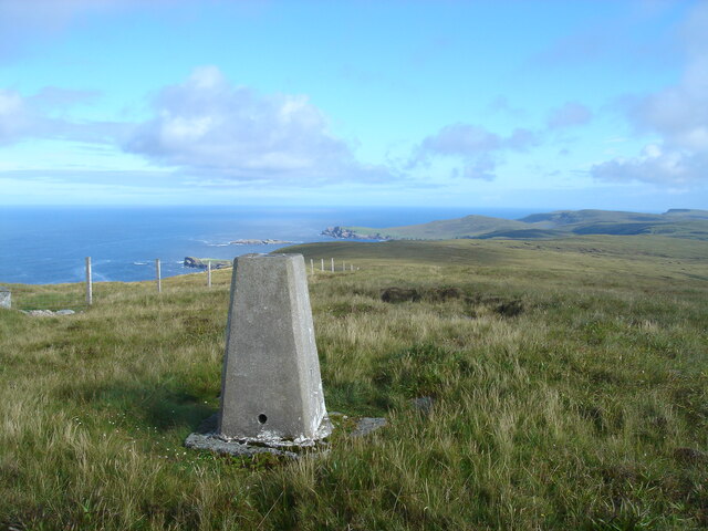
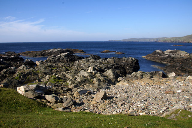
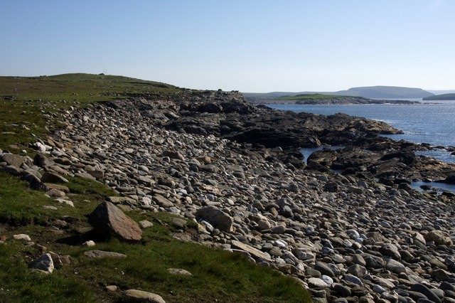
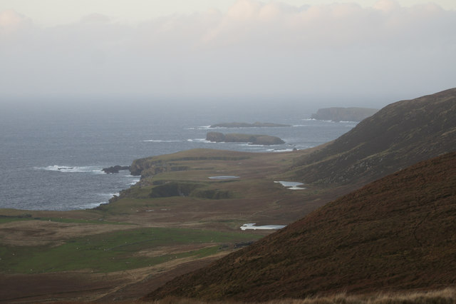
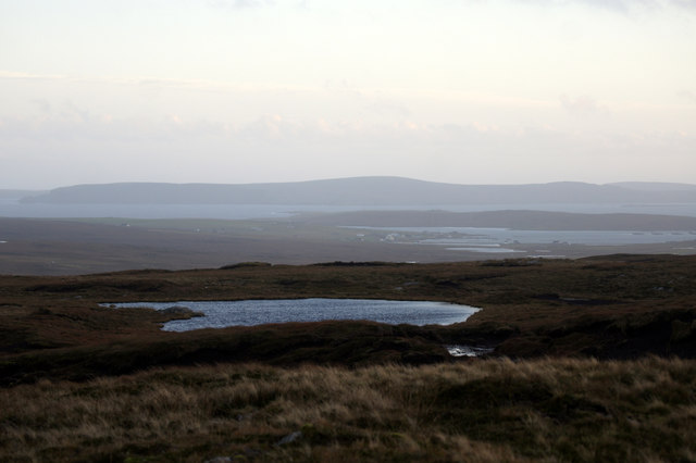
Bogligarths Geo is a prominent coastal feature located in Shetland, Scotland. It is characterized as a headland or point that juts out into the North Sea, offering stunning views of the surrounding landscape. The geo is situated on the west coast of the Shetland Mainland, approximately 4 miles northwest of the village of Walls.
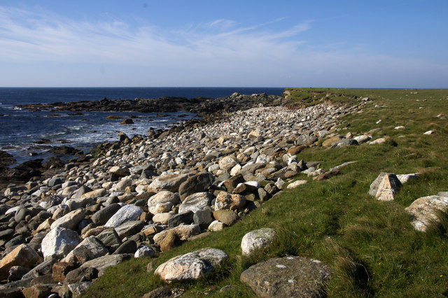
Bogligarths Geo stands out due to its distinct geological formations, which have been shaped by the relentless force of the sea over thousands of years. The headland is composed of layers of sedimentary rocks, including sandstone and shale, giving it a unique and striking appearance. These rock formations also provide a home to a diverse range of seabirds, including puffins, guillemots, and fulmars, making the area a popular spot for birdwatching enthusiasts.
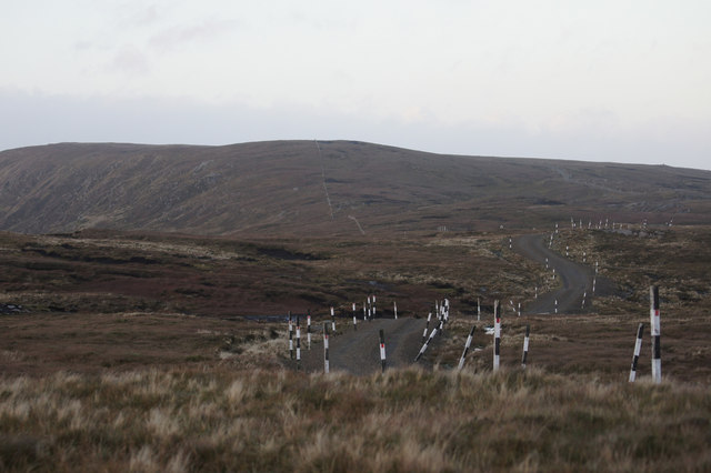
The coastal feature is easily accessible via a well-maintained footpath that leads visitors along the cliff edge, offering unrivaled views of the rugged coastline and the crashing waves below. The path also provides opportunities for visitors to explore the nearby pebble beach, which is strewn with colorful shells and other marine debris.
Bogligarths Geo is a significant landmark in the area, not only for its natural beauty but also for its historical and cultural significance. The site has been inhabited for centuries and is believed to have been used by early settlers as a fishing and hunting ground. Today, it serves as a popular tourist attraction, drawing visitors from near and far who come to marvel at its natural wonders and immerse themselves in the rich history of the region.
If you have any feedback on the listing, please let us know in the comments section below.
Bogligarths Geo Images
Images are sourced within 2km of 60.750915/-0.93990545 or Grid Reference HP5708. Thanks to Geograph Open Source API. All images are credited.


Bogligarths Geo is located at Grid Ref: HP5708 (Lat: 60.750915, Lng: -0.93990545)
Unitary Authority: Shetland Islands
Police Authority: Highlands and Islands
What 3 Words
///loafing.emporium.gobbling. Near Baltasound, Shetland Islands
Nearby Locations
Related Wikis

Society of Our Lady of the Isles
The Society of Our Lady of the Isles (SOLI) is a small Anglican religious order for women, founded in the late 20th century. It is located in Shetland...

Brough Holm
Brough Holm is a small island off Unst, in the North Isles of Shetland. It is off Westing, which as the name implies is on the west coast of Unst. The...
Unst
Unst (; Scots: Unst; Norn: Ønst) is one of the North Isles of the Shetland Islands, Scotland. It is the northernmost of the inhabited British Isles and...

1992 New Year's Day Storm
The New Year's Day Storm (Norwegian: Nyttårsorkanen), known in Scotland as the 'Hogmanay Hurricane', was an intense European windstorm that affected much...

St Olaf's Church, Unst
St Olaf's Church, Unst is a ruined medieval church located on the island of Unst, in Shetland, Scotland, UK. The church was built in the Celtic style,...

Baltasound
Baltasound (or Baltasund) is the largest settlement on the island of Unst in Shetland, Scotland. It comes from the Old Norse man's name Balti (Baltisund...

Unst Airport
Unst Airport also called Baltasound Airport is an unlicensed airfield near Baltasound, on the island of Unst, Shetland Islands, Scotland. The airfield...
Balta Sound
Balta Sound is a sound (inlet) on the east coast of the island of Unst in the Shetland Islands, Scotland. The sound is sheltered from the North Sea to...
Nearby Amenities
Located within 500m of 60.750915,-0.93990545Have you been to Bogligarths Geo?
Leave your review of Bogligarths Geo below (or comments, questions and feedback).