South Geo of Brough
Coastal Feature, Headland, Point in Shetland
Scotland
South Geo of Brough
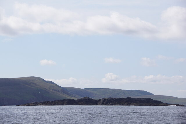
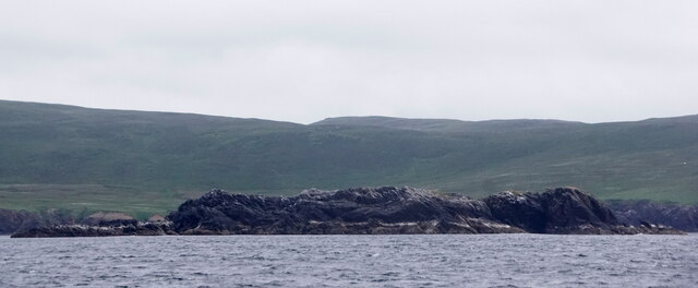
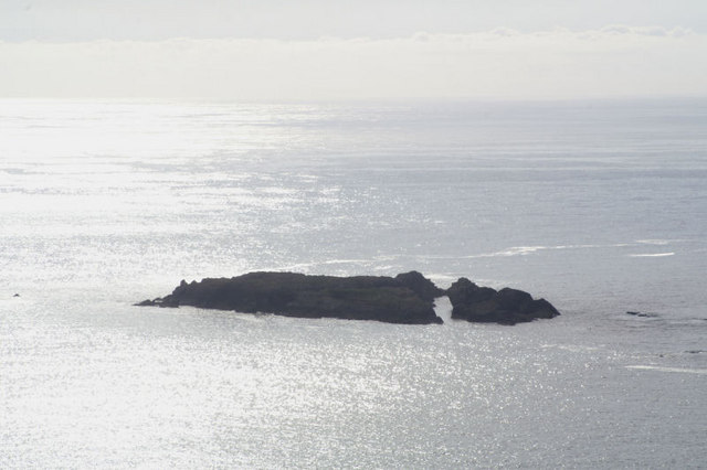
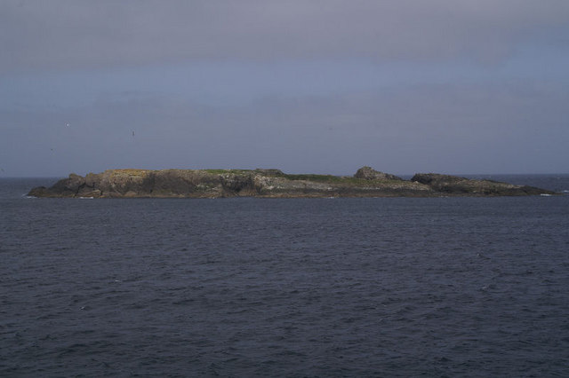
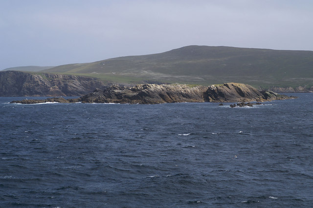
South Geo of Brough is a prominent coastal feature located on the island of Brough in the Shetland Islands, Scotland. It is a headland that extends into the North Sea, forming a distinctive point that juts out into the water.
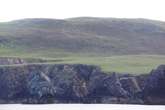
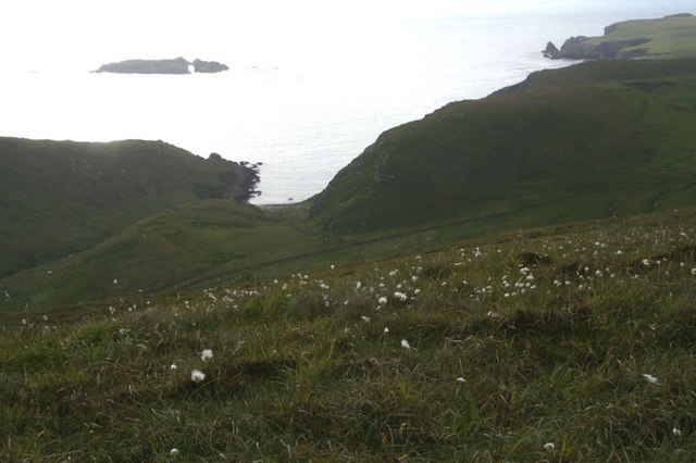
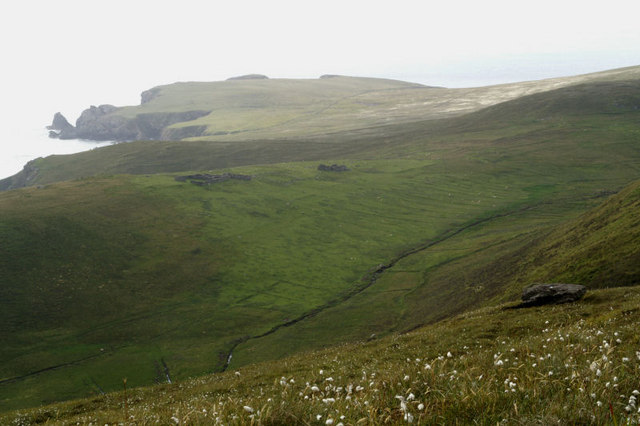
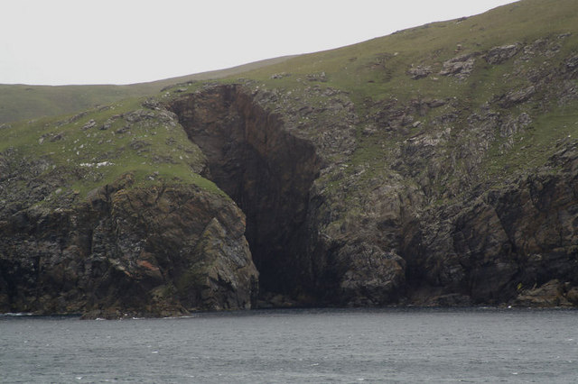
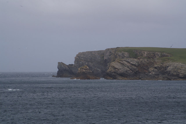
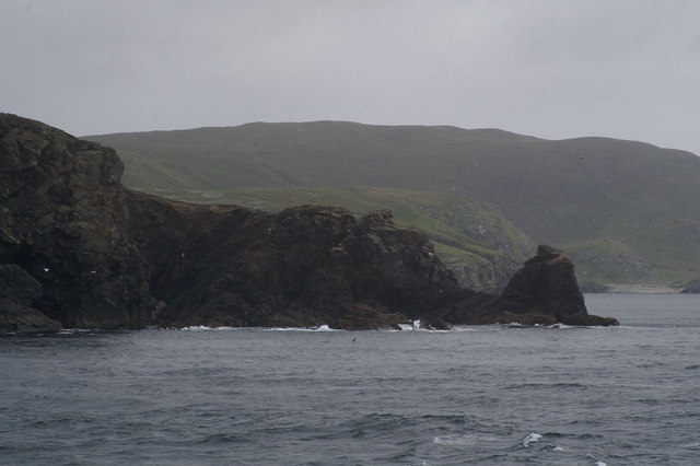
The South Geo of Brough is characterized by its rugged and rocky terrain, with sheer cliffs rising from the sea below. The cliffs are composed of layered sedimentary rocks, showcasing the geological history of the area. The headland is predominantly formed from sandstone and shale, with occasional limestone formations visible along the edges.
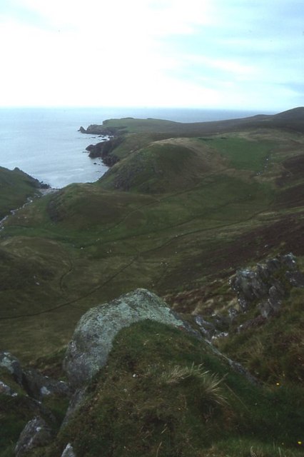
This coastal feature offers stunning panoramic views of the surrounding landscape, with the open sea stretching out to the horizon. The South Geo of Brough is also known for its diverse wildlife, providing a habitat for various seabirds such as fulmars, gannets, and kittiwakes. Visitors may catch sight of these birds soaring above the cliffs, nesting in the crevices, or diving into the sea to catch fish.
The South Geo of Brough is a popular spot for nature enthusiasts and hikers, offering picturesque trails along the coastline. It is advisable to exercise caution when exploring the area due to the steep cliffs and potentially slippery terrain. Additionally, the headland is subject to the elements, with strong winds and rough seas being common occurrences.
Overall, the South Geo of Brough is a striking coastal feature that showcases the natural beauty and geological diversity of the Shetland Islands. Its rugged cliffs and stunning views make it a must-visit destination for those seeking an immersive coastal experience.
If you have any feedback on the listing, please let us know in the comments section below.
South Geo of Brough Images
Images are sourced within 2km of 60.790157/-0.95194536 or Grid Reference HP5712. Thanks to Geograph Open Source API. All images are credited.


South Geo of Brough is located at Grid Ref: HP5712 (Lat: 60.790157, Lng: -0.95194536)
Unitary Authority: Shetland Islands
Police Authority: Highlands and Islands
What 3 Words
///streamers.parkland.soggy. Near Baltasound, Shetland Islands
Related Wikis

Burrafirth
Burrafirth links (Old Norse: Borgarfjorðr, meaning "the fjord with a castle") is a strip of land with a few houses on the island of Unst, Shetland, Scotland...

Unst
Unst (; Scots: Unst; Norn: Ønst) is one of the North Isles of the Shetland Islands, Scotland. It is the northernmost of the inhabited British Isles and...

1992 New Year's Day Storm
The New Year's Day Storm (Norwegian: Nyttårsorkanen), known in Scotland as the 'Hogmanay Hurricane', was an intense European windstorm that affected much...

Baltasound
Baltasound (or Baltasund) is the largest settlement on the island of Unst in Shetland, Scotland. It comes from the Old Norse man's name Balti (Baltisund...
Society of Our Lady of the Isles
The Society of Our Lady of the Isles (SOLI) is a small Anglican religious order for women, founded in the late 20th century. It is located in Shetland...

Haroldswick
Haroldswick or Harold's Wick (Old Norse: Haraldsvík, 'Harald's bay'), is on Unst, Shetland Islands, Scotland, and is one of the most northerly settlements...

Hermaness
Hermaness is the northernmost headland of Unst, the most northerly inhabited island of Shetland, Scotland. It consists of huge sea cliffs and moorland...

Brough Holm
Brough Holm is a small island off Unst, in the North Isles of Shetland. It is off Westing, which as the name implies is on the west coast of Unst. The...
Have you been to South Geo of Brough?
Leave your review of South Geo of Brough below (or comments, questions and feedback).