Skulia Geo

Coastal Feature, Headland, Point in Shetland

Scotland

Skulia Geo

Road west of Brough Lodge The B9088 drops down to the pier at Ugasta on the west coast of Fetlar.
Road west of Brough Lodge Credit: Oliver Dixon

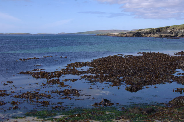
Skulia Geo is a prominent coastal feature located on the Shetland Islands in Scotland. It is classified as a headland and point due to its unique geographical characteristics. The word "geo" is derived from Old Norse and refers to a narrow inlet or cleft in the coastline, which perfectly describes the landscape of Skulia Geo.

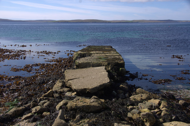
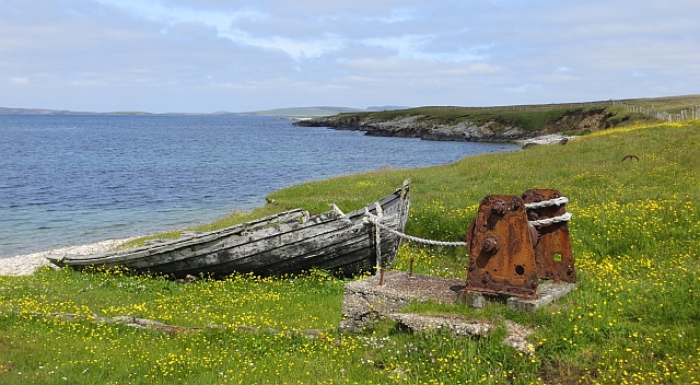
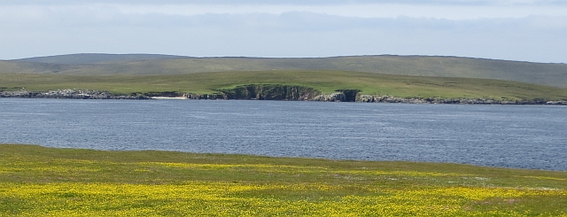
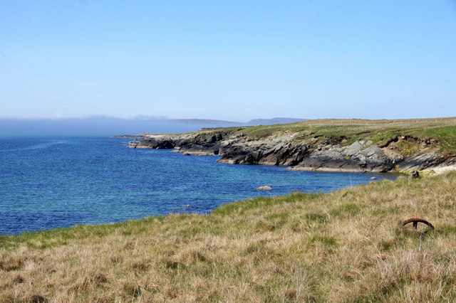
Situated on the rugged coastline of the Shetland Mainland, Skulia Geo boasts breathtaking views of the North Sea. The headland is characterized by steep cliffs that rise dramatically from the sea, creating a picturesque and awe-inspiring sight. The cliffs are composed of layered rock formations, showcasing the geological history of the area.

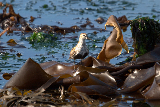
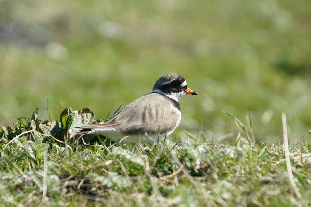
Skulia Geo is known for its diverse wildlife population. The surrounding waters are home to a variety of marine species, including seals, whales, and dolphins. Birds such as puffins, guillemots, and kittiwakes can also be spotted nesting on the cliffs, making it a popular destination for birdwatchers.

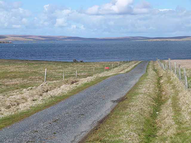
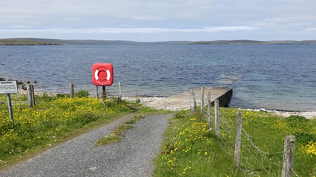
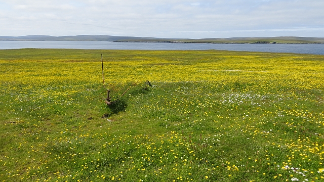
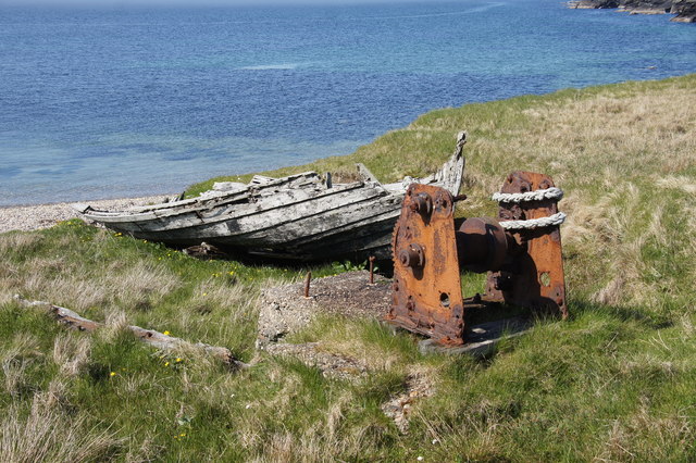
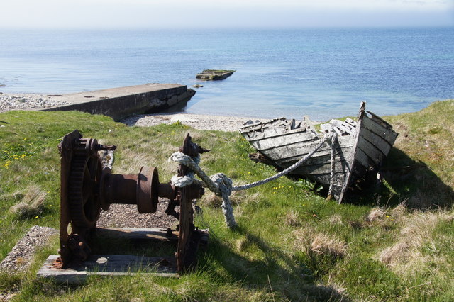
Access to Skulia Geo is relatively easy, with a well-maintained footpath leading to the headland. Visitors can enjoy a leisurely walk along the coastal trail, taking in the stunning scenery and observing the local flora and fauna. The headland also offers opportunities for rock climbing and fishing, attracting outdoor enthusiasts from near and far.

Overall, Skulia Geo is a captivating coastal feature that showcases the natural beauty and biodiversity of the Shetland Islands. Its stunning cliffs, diverse wildlife, and accessible location make it a must-visit destination for nature lovers and adventure seekers alike.

If you have any feedback on the listing, please let us know in the comments section below.

Skulia Geo Images

Images are sourced within 2km of 60.608892/-0.97865014 or Grid Reference HU5692. Thanks to Geograph Open Source API. All images are credited.

Road west of Brough Lodge The B9088 drops down to the pier at Ugasta on the west coast of Fetlar.
Road west of Brough Lodge
The B9088 drops down to the pier at Ugasta on the west coast of Fetlar.
Dunlin (Calidris alpina) on the beach at Ugasta by Brough Lodge Dunlin breed quite commonly on moorland in Shetland. This is either a local bird feeding on the shore or a late migrant still heading north.
Dunlin (Calidris alpina) on the beach at Ugasta by Brough Lodge
Dunlin breed quite commonly on moorland in Shetland. This is either a local bird feeding on the shore or a late migrant still heading north.
Ringed Plover (Charadrius hiaticula) at Ugasta by Brough Lodge Ringed Plovers breed quite commonly in Shetland, most often in coastal habitats.
Ringed Plover (Charadrius hiaticula) at Ugasta by Brough Lodge
Ringed Plovers breed quite commonly in Shetland, most often in coastal habitats.
Dilapidated pier at Ugasta, near Brough Lodge
Beach at Ugasta, near Brough Lodge
Old boat, Ugasta Hauled up near Ugasta Pier.
Old boat, Ugasta
Hauled up near Ugasta Pier.
Ugasta pier Not in the best state of repair.
Ugasta pier
Not in the best state of repair.
Flower meadow near Brough Lodge Some old machinery rusts quietly amongst the flowers.
Flower meadow near Brough Lodge
Some old machinery rusts quietly amongst the flowers.
Crags, Punds Geo View from Fetlar to a small crag on the coast of Hascosay.
Crags, Punds Geo
View from Fetlar to a small crag on the coast of Hascosay.
Disintegrating flit boat at Brough Lodge pier, Fetlar
Disintegrating pier and flit boat, Brough Lodge, Fetlar
Coastline at Ugasta, Brough Lodge, Fetlar
Old pier at Brough Lodge, Fetlar
Coastline towards Ness of Brough, Fetlar
Black Guillemot (Cepphus grylle), Djuba Wick, Hascosay A Tystie, as they are known locally, in winter plumage.
Black Guillemot (Cepphus grylle), Djuba Wick, Hascosay
A Tystie, as they are known locally, in winter plumage.
Salmon farm in Djuba Wick, Hascosay
Salmon farm in Djuba Wick, Hascosay The round grey floating structure, known as a 'salmon barge' is basically a huge feed container, the black tubes leading out of it going to feeders in the cages, all controlled by computer and radio relays from on land.
Salmon farm in Djuba Wick, Hascosay
The round grey floating structure, known as a 'salmon barge' is basically a huge feed container, the black tubes leading out of it going to feeders in the cages, all controlled by computer and radio relays from on land.
Headland west of Djuba Wick, Hascosay
Show me another place!

Skulia Geo is located at Grid Ref: HU5692 (Lat: 60.608892, Lng: -0.97865014)

Unitary Authority: Shetland Islands

Police Authority: Highlands and Islands

What 3 Words

///hoping.digestion.fizzy. Near Houbie, Shetland Islands

Related Wikis

Hascosay

Hascosay (Scots: Hascosay; Old Norse "Hafskotsey") is a small island lying between Yell and Fetlar in the Shetland Islands, Scotland. == Geography and... ==

Brough Lodge

Brough Lodge is a 19th-century Gothic mansion on Fetlar, one of the Shetland Islands, in northern Scotland. Built by the Nicolson family, who were responsible...

Hamars Ness

Hamars Ness is a headland on the island of Fetlar in Shetland, Scotland. The name is from the Old Norse Hamarsnes meaning "craggy headland". A ro-ro ferry...

Burra Ness Broch

Burra Ness Broch is an iron-age broch located on the east coast of the island of Yell, Shetland, Scotland. == Location == Burra Ness Broch (grid reference...

Have you been to Skulia Geo?

Leave your review of Skulia Geo below (or comments, questions and feedback).