South Tarri Geo
Coastal Feature, Headland, Point in Shetland
Scotland
South Tarri Geo
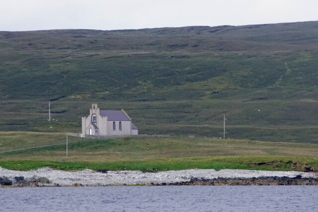
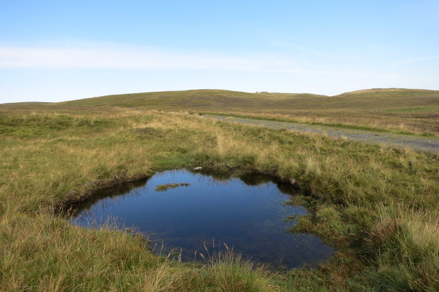
South Tarri Geo is a prominent coastal feature located on the rugged coastline of Shetland, an archipelago in the Northern Isles of Scotland. It is classified as a headland and point due to its distinctive geographical characteristics.
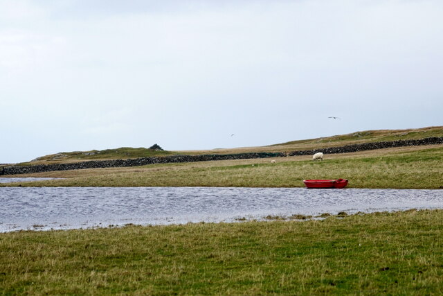
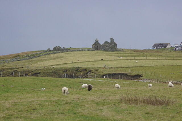
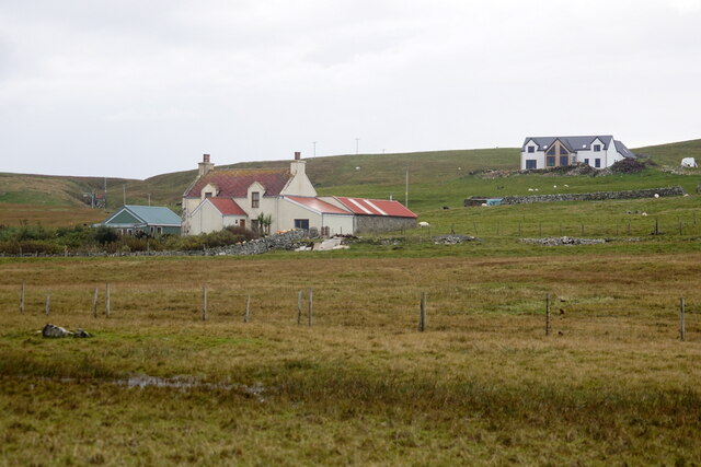
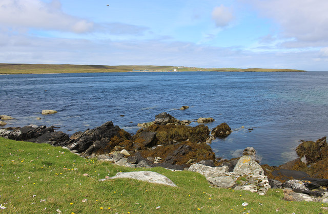
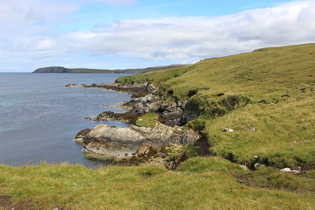
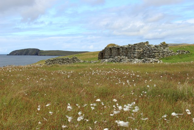
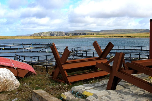
Situated on the southern coast of the mainland, South Tarri Geo is characterized by its steep cliffs, which rise dramatically from the sea. The headland juts out into the North Sea, offering breathtaking views of the surrounding landscape. The cliffs, made of sedimentary rock formations, display a stunning array of colors, ranging from deep browns to vibrant oranges, giving the area a distinct visual appeal.
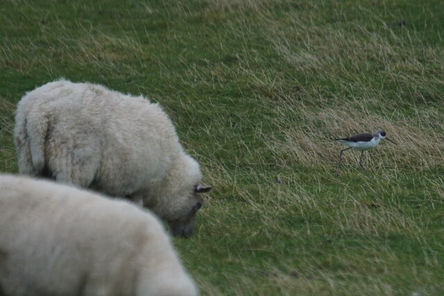
The headland is also known for its diverse wildlife. The surrounding waters are home to a variety of seabirds, including puffins, guillemots, and fulmars. The cliffs provide nesting grounds for these birds, making it a popular spot for birdwatchers and nature enthusiasts. Additionally, the area is frequented by seals, which can often be spotted basking in the sun on the rocky shores.
South Tarri Geo is accessible via a short hike along the coastal path, offering visitors the opportunity to explore the rugged beauty of the Shetland coastline. The headland provides an ideal vantage point for photography, with panoramic views of the sea and the nearby islands. It is also a popular spot for fishing, as the deep waters surrounding the headland attract a variety of fish species.
Overall, South Tarri Geo is a stunning coastal feature that showcases the natural beauty and rich biodiversity of Shetland. Its towering cliffs, abundant wildlife, and picturesque views make it a must-visit destination for nature lovers and outdoor enthusiasts.
If you have any feedback on the listing, please let us know in the comments section below.
South Tarri Geo Images
Images are sourced within 2km of 60.70244/-0.99486483 or Grid Reference HP5402. Thanks to Geograph Open Source API. All images are credited.


South Tarri Geo is located at Grid Ref: HP5402 (Lat: 60.70244, Lng: -0.99486483)
Unitary Authority: Shetland Islands
Police Authority: Highlands and Islands
What 3 Words
///swim.note.unite. Near Gutcher, Shetland Islands
Nearby Locations
Related Wikis

Cullivoe
Cullivoe (Old Norse: Kollavágr - Bay of Kolli), is a village on Yell in the Shetland Islands. It is in the north east of the island, near Bluemull Sound...

Bluemull Sound
Bluemull Sound is the strait between Unst and Yell in Shetland's North Isles. A ferry service crosses it regularly. Cullivoe is on the Yell side, and the...

Belmont House, Shetland
Belmont House is a neo classical Georgian Country House Estate on the island of Unst, the most northerly of the Shetland Islands, [United Kingdom] and...

St Olaf's Church, Unst
St Olaf's Church, Unst is a ruined medieval church located on the island of Unst, in Shetland, Scotland, UK. The church was built in the Celtic style,...
Belmont, Shetland
Belmont is a settlement and ferry terminal in southern Unst in the Shetland Islands. The ferry crosses from here to Gutcher in Yell and to Hamars Ness...

Gutcher
Gutcher is a settlement on the northeast coast of Yell in the Shetland islands. From here, rollon/roll off ferry services to Belmont on Unst and Hamars...

Brough Holm
Brough Holm is a small island off Unst, in the North Isles of Shetland. It is off Westing, which as the name implies is on the west coast of Unst. The...

North Isles
The North Isles are the northern islands of the Shetland Islands, Scotland. The main islands in the group are Yell, Unst and Fetlar. Sometimes the islands...
Nearby Amenities
Located within 500m of 60.70244,-0.99486483Have you been to South Tarri Geo?
Leave your review of South Tarri Geo below (or comments, questions and feedback).