Ba Taing
Coastal Feature, Headland, Point in Shetland
Scotland
Ba Taing

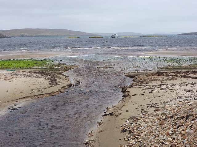
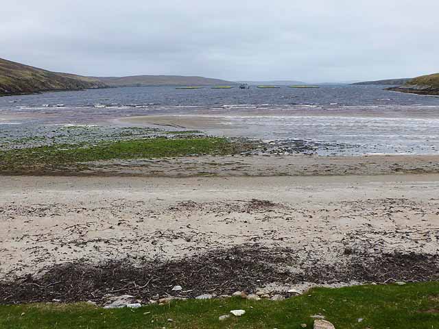
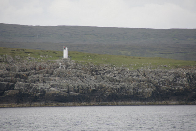
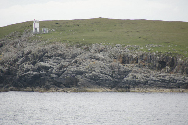
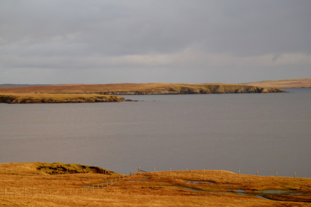
Ba Taing is a prominent coastal feature located on the Shetland Islands in Scotland. Situated on the eastern coast of the main island, this headland or point is known for its stunning natural beauty and unique geological formations.
Ba Taing is characterized by its rugged cliffs, which rise dramatically from the North Sea. These cliffs are composed of ancient rocks, primarily sandstone and shale, which have been shaped by erosion over millions of years. The exposed layers of rock offer a glimpse into the geological history of the area.
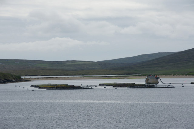
The headland features a diverse array of flora and fauna, including seabirds, seals, and various coastal plants. The surrounding waters are also teeming with marine life, making Ba Taing a popular spot for birdwatching and wildlife enthusiasts.
The name "Ba Taing" is derived from the local Shetland dialect, and it translates to "thank you" in English. It is believed that the name reflects the gratitude of the local community towards this picturesque location.
Ba Taing is accessible by a well-maintained footpath that offers breathtaking views of the surrounding landscape. Visitors can enjoy leisurely walks along the cliff-top, taking in panoramic vistas of the sea and neighboring islands. The headland also provides an ideal vantage point for witnessing stunning sunsets, which paint the sky with vibrant hues of orange and pink.
Overall, Ba Taing is a captivating coastal feature that showcases the raw beauty of the Shetland Islands. Its geological significance, diverse wildlife, and scenic views make it a must-visit destination for nature enthusiasts and those seeking tranquility amidst stunning natural surroundings.
If you have any feedback on the listing, please let us know in the comments section below.
Ba Taing Images
Images are sourced within 2km of 60.59731/-1.0001055 or Grid Reference HU5490. Thanks to Geograph Open Source API. All images are credited.


Ba Taing is located at Grid Ref: HU5490 (Lat: 60.59731, Lng: -1.0001055)
Unitary Authority: Shetland Islands
Police Authority: Highlands and Islands
What 3 Words
///trapdoor.windmill.gaps. Near Houbie, Shetland Islands
Related Wikis

Hascosay
Hascosay (Scots: Hascosay; Old Norse "Hafskotsey") is a small island lying between Yell and Fetlar in the Shetland Islands, Scotland. == Geography and... ==

Brough Lodge
Brough Lodge is a 19th-century Gothic mansion on Fetlar, one of the Shetland Islands, in northern Scotland. Built by the Nicolson family, who were responsible...

Mid Yell
Mid Yell is a coastal settlement on the island of Yell, the second largest of Shetland Islands, Scotland. Mid Yell, the largest settlement on the island...

Aywick
Aywick is a small settlement on the east side of Yell, an island forming part of the Shetland Islands north of Scotland.The naturalist Bobby Tulloch was...

Basta, Shetland
Basta is a hamlet on the island of Yell in the Shetland islands of Scotland. It is on the shores of Basta Voe and is in the parish of Yell. == References... ==

Burra Ness Broch
Burra Ness Broch is an iron-age broch located on the east coast of the island of Yell, Shetland, Scotland. == Location == Burra Ness Broch (grid reference...

Hamars Ness
Hamars Ness is a headland on the island of Fetlar in Shetland, Scotland. The name is from the Old Norse Hamarsnes meaning "craggy headland". A ro-ro ferry...

Otterswick
Otterswick is a hamlet on the island of Yell in the Shetland Islands, on the inlet of Otters Wick. It is on the east side of the island. There is also...
Have you been to Ba Taing?
Leave your review of Ba Taing below (or comments, questions and feedback).