Geos of Hovie
Coastal Feature, Headland, Point in Shetland
Scotland
Geos of Hovie
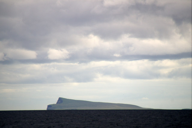
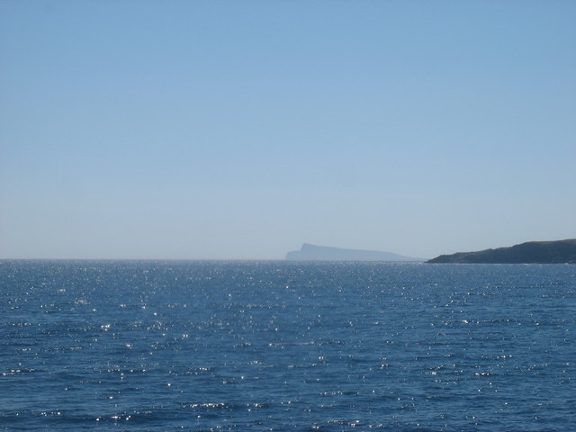
Geos of Hovie is a coastal feature located on the island of Shetland, which is part of Scotland. It is specifically situated on the west coast of the island, near the village of Sandwick. Geos, in the context of Shetland, refers to narrow inlets or gorges formed by the erosion of cliffs by the sea.
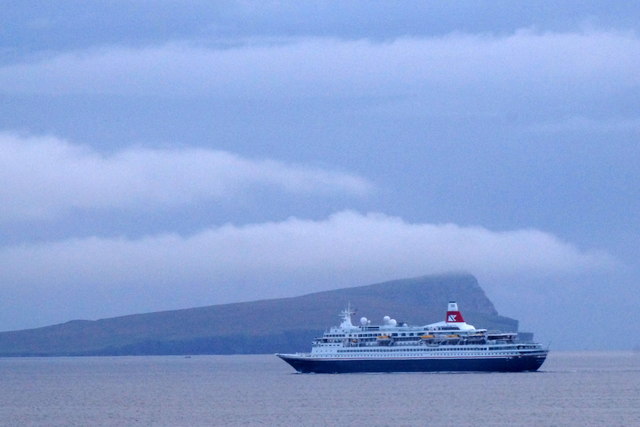
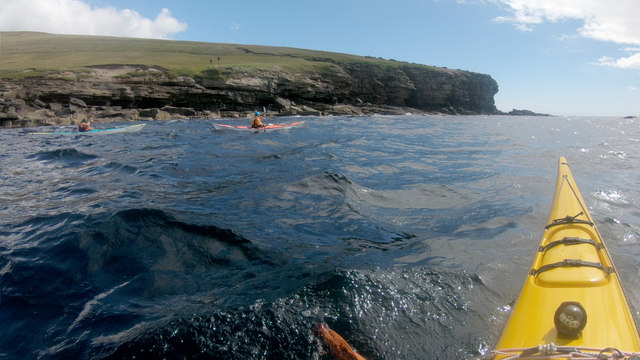
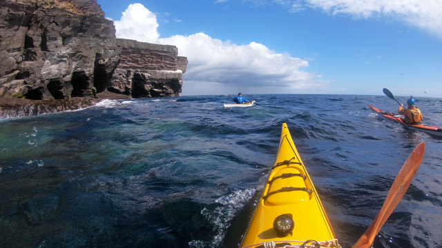
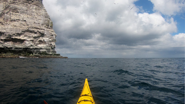
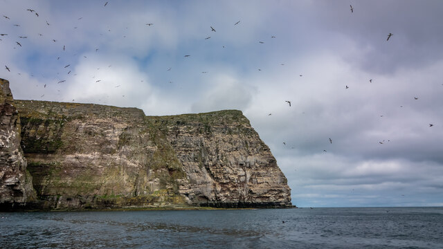
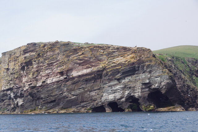
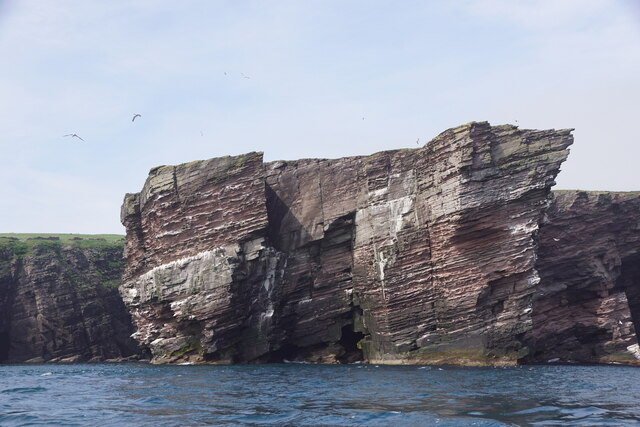
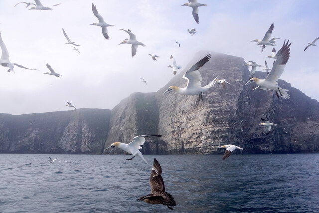
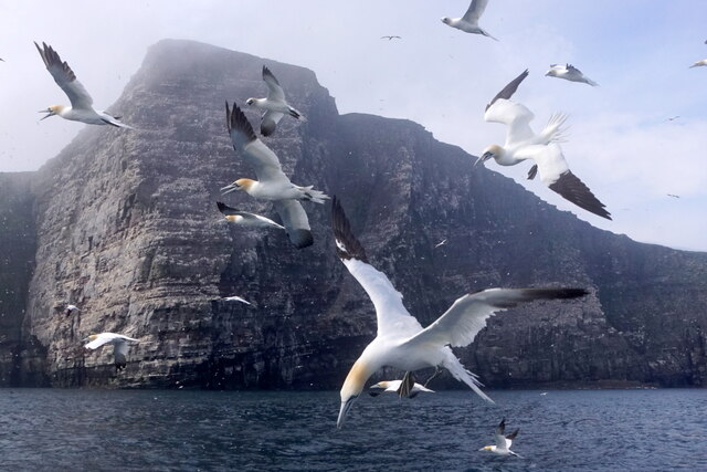
Geos of Hovie is characterized by its striking headland and point formations. A headland is a narrow piece of land projecting into the sea, while a point is a sharp and slender extension of the headland. These geological formations have been shaped over thousands of years by the relentless action of the North Atlantic Ocean.
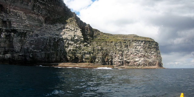
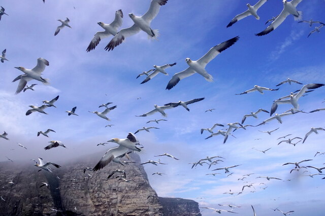
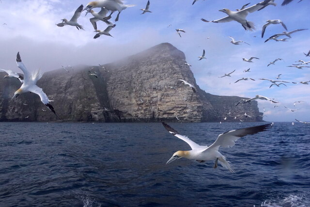
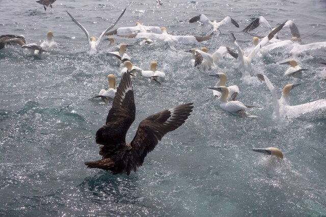
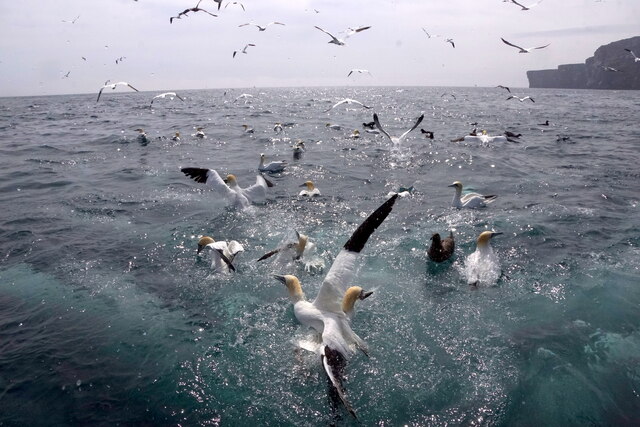
The cliffs surrounding Geos of Hovie are composed of layers of sedimentary rocks, such as sandstone and shale, which display a variety of colors and textures. These cliffs not only provide a stunning backdrop to the coastal feature but also serve as nesting sites for various seabird species, including puffins and guillemots.
The area surrounding Geos of Hovie is also known for its rich marine life. The clear waters around the headland support a diverse range of species, including seals and otters. The intertidal zone, where the land meets the sea, is home to numerous marine plants and animals, creating an intricate ecosystem.
Geos of Hovie is a popular spot for outdoor enthusiasts and nature lovers. Visitors can enjoy breathtaking views of the rugged coastline, take part in birdwatching activities, and explore the surrounding cliffs and rock pools. Its remote location and unspoiled natural beauty make it a hidden gem for those seeking a quieter and more authentic Scottish coastal experience.
If you have any feedback on the listing, please let us know in the comments section below.
Geos of Hovie Images
Images are sourced within 2km of 60.133559/-1.021479 or Grid Reference HU5439. Thanks to Geograph Open Source API. All images are credited.


Geos of Hovie is located at Grid Ref: HU5439 (Lat: 60.133559, Lng: -1.021479)
Unitary Authority: Shetland Islands
Police Authority: Highlands and Islands
What 3 Words
///gala.rank.increases. Near Lerwick, Shetland Islands
Nearby Locations
Related Wikis

Holm of Noss
The Holm of Noss or Cradle Holm is an uninhabited islet of the Shetland Islands. It is about 48m at its highest point. == Geography and geology == It is...

Isle of Noss
The Isle of Noss or Noss (Scots: Noss) is a small, previously inhabited island in Shetland, Scotland. Noss is separated from the island of Bressay by the...

Bressay
Bressay (Scots: Bressa) is a populated island in the Shetland archipelago of Scotland. == Geography and geology == Bressay lies due south of Whalsay, west...

Broch of Cullingsburgh
The Broch of Cullingsburgh is an Iron Age broch located in the Shetland islands. == Location == Located on Bressay, off the east coast of mainland Shetland...
Bressay transmitting station
Bressay transmitting station is a broadcasting transmission facility for the Shetland Islands, located on the isle of Bressay, owned and operated by Arqiva...
Voe of Cullingsburgh
Voe of Cullingsburgh is a large sea loch off the Shetland island of Bressay, voe meaning "sea inlet" in Shetland dialect. The local spelling of the name...

Gardie House
Gardie House is an 18th-century estate house on Bressay in Shetland, Scotland. Located opposite Lerwick, across the Bressay Sound, Gardie is described...
Lerwick and Bressay Parish Church
Lerwick and Bressay Parish Church is the largest Church of Scotland congregation in Shetland, serving the islands' capital Lerwick and the surrounding...
Nearby Amenities
Located within 500m of 60.133559,-1.021479Have you been to Geos of Hovie?
Leave your review of Geos of Hovie below (or comments, questions and feedback).