Ramna Geo

Coastal Feature, Headland, Point in Shetland

Scotland

Ramna Geo

Ness of Queyon Taken on the B9081 as we pass through East Yell, Yell, Shetland, I am looking across Otters Wick to the Ness of Queyon, the croft of the same name and the Hill of Queyon. The cliffs of Hascosay and Mid Yell can be seen beyond.
Ness of Queyon Credit: Carroll Pierce

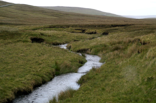
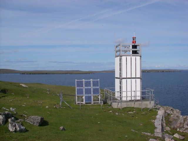
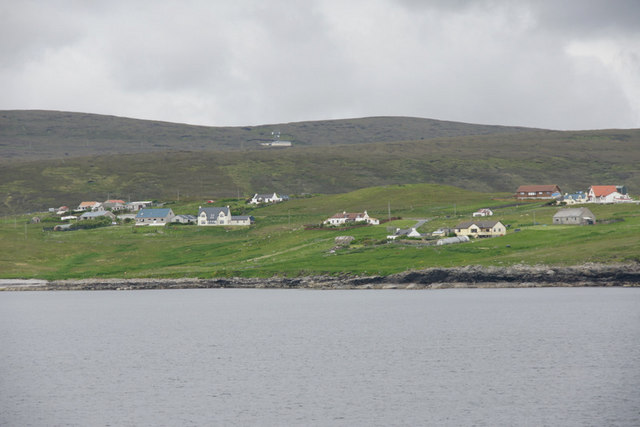
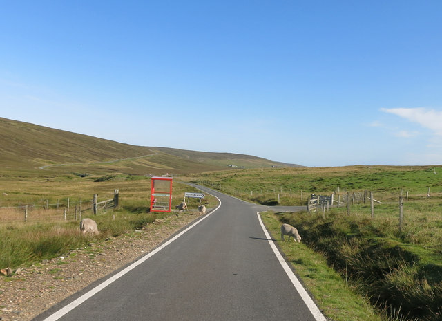
Ramna Geo is a prominent coastal feature located on the Shetland Islands, an archipelago in Scotland. It is specifically situated on the mainland of Shetland, near the village of Bridge of Walls. Ramna Geo is classified as a headland, also referred to as a point, due to its distinct geographical formation and its jutting out into the sea.

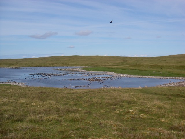
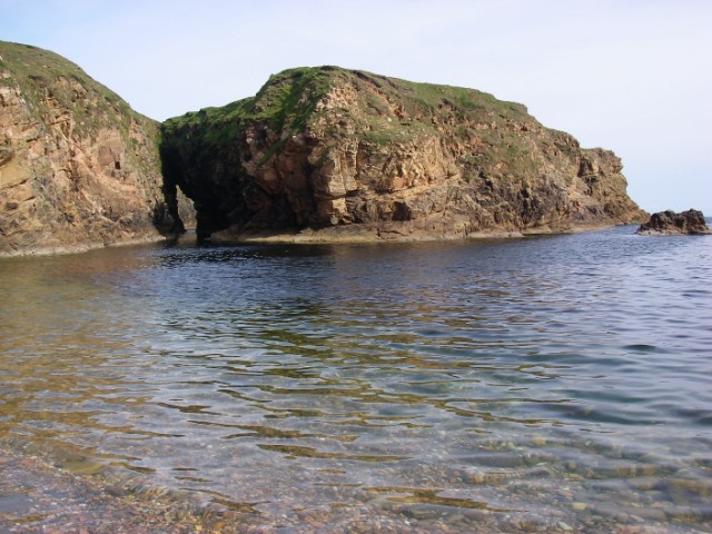
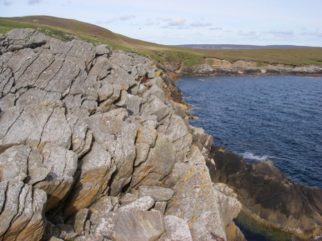
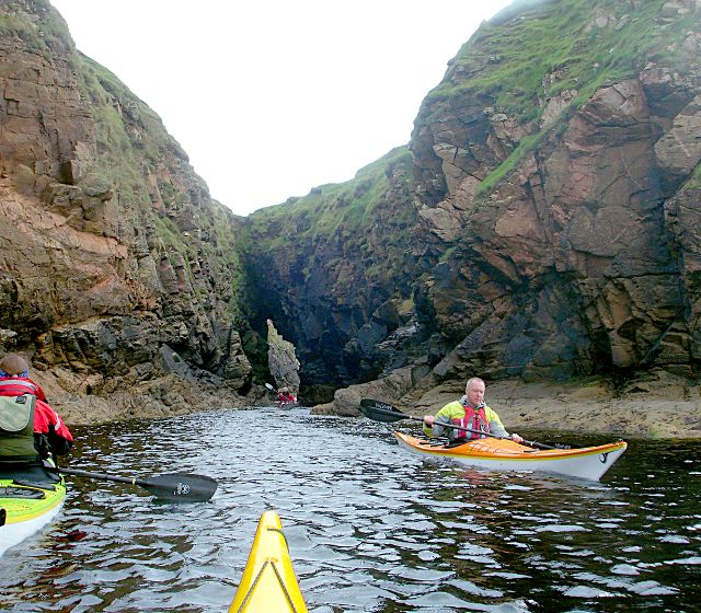
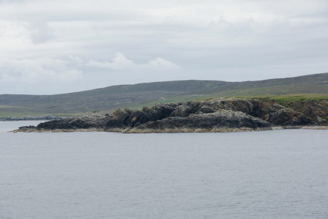
The headland is characterized by its rugged cliffs, which rise dramatically from the surrounding coastal landscape. These cliffs are composed of sedimentary rocks, predominantly sandstone and shale, which have been shaped and eroded by the relentless force of the North Atlantic Ocean over thousands of years.

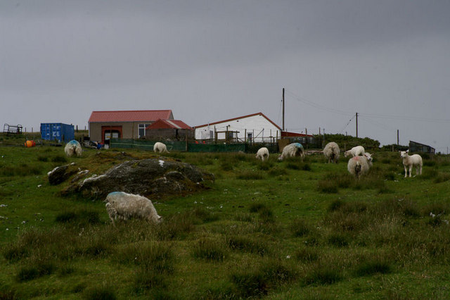
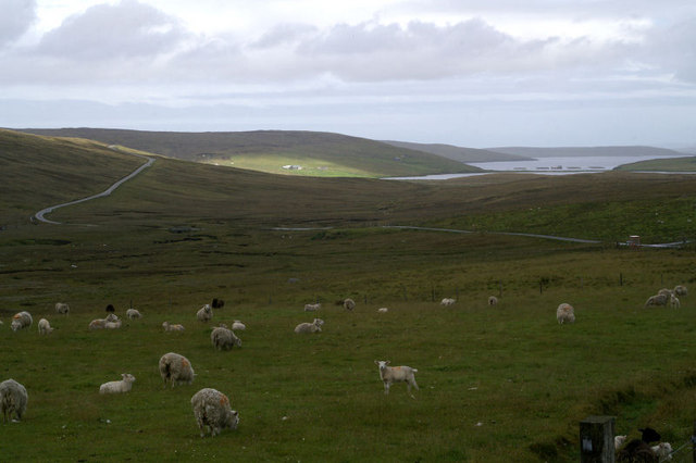
Ramna Geo offers breathtaking views of the surrounding coastline and the open sea. It is particularly renowned for its picturesque rock formations and sea stacks that dot the shoreline. These natural features provide a habitat for a diverse array of seabirds, including puffins, guillemots, and fulmars, making it a popular spot for birdwatching enthusiasts.

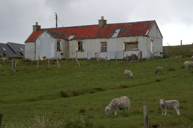
In addition to its natural beauty, Ramna Geo also holds historical significance. Archaeological excavations have revealed evidence of prehistoric settlements and ancient structures in the vicinity, indicating human activity in the area dating back thousands of years. These findings contribute to a better understanding of the island's early inhabitants and their way of life.

Ramna Geo attracts both locals and tourists who come to appreciate the stunning coastal scenery, observe wildlife, and explore the rich history of the Shetland Islands.

If you have any feedback on the listing, please let us know in the comments section below.

Ramna Geo Images

Images are sourced within 2km of 60.563577/-1.0159034 or Grid Reference HU5487. Thanks to Geograph Open Source API. All images are credited.

Ness of Queyon Taken on the B9081 as we pass through East Yell, Yell, Shetland, I am looking across Otters Wick to the Ness of Queyon, the croft of the same name and the Hill of Queyon. The cliffs of Hascosay and Mid Yell can be seen beyond.
Ness of Queyon
Taken on the B9081 as we pass through East Yell, Yell, Shetland, I am looking across Otters Wick to the Ness of Queyon, the croft of the same name and the Hill of Queyon. The cliffs of Hascosay and Mid Yell can be seen beyond.
East Yell: postbox № ZE2 59 A small postbox alongside a bus shelter at the junction, a short distance from the post office. The box is emptied at half past nine on weekday and Saturday mornigs.
East Yell: postbox № ZE2 59
A small postbox alongside a bus shelter at the junction, a short distance from the post office. The box is emptied at half past nine on weekday and Saturday mornigs.
Otterswick: Burn of the Mires of Queyintiptins The course of this, surely one of the longest named streams, can be seen running across the picture left-to-right and then coming towards us into the North Burn of Otterswick, whose northern bank is more prominent across the bottom of the picture.
Otterswick: Burn of the Mires of Queyintiptins
The course of this, surely one of the longest named streams, can be seen running across the picture left-to-right and then coming towards us into the North Burn of Otterswick, whose northern bank is more prominent across the bottom of the picture.
Roofless building With the Loch (and beyond it the Wick) of Vatsetter in the distance.
Roofless building
With the Loch (and beyond it the Wick) of Vatsetter in the distance.
Hogalee Burn The burn rises on the hill of Hoga Lee and flows into the Loch of Vatsetter but, like several other Shetland burns, it has several names along the way.
Hogalee Burn
The burn rises on the hill of Hoga Lee and flows into the Loch of Vatsetter but, like several other Shetland burns, it has several names along the way.
Moorhouse, North Aywick
Tin house at South Aywick Once quite widespread in Shetland, very few of these houses remain.
Tin house at South Aywick
Once quite widespread in Shetland, very few of these houses remain.
Valley of the Burn of Hogalee Looking towards Vatsetter.
Valley of the Burn of Hogalee
Looking towards Vatsetter.
Whitehill Lighthouse This low light stands about 70ft above the sea and looks north to Hascosay and east to Fetlar.
Whitehill Lighthouse
This low light stands about 70ft above the sea and looks north to Hascosay and east to Fetlar.
Loch of Birrier A dry summer had resulted in a relatively low water level in this shallow loch below the gentle slopes of the White Hill of Vatsetter (to east/right). It was populated by large numbers of birds.
Loch of Birrier
A dry summer had resulted in a relatively low water level in this shallow loch below the gentle slopes of the White Hill of Vatsetter (to east/right). It was populated by large numbers of birds.
Birrier from the bay This broad stack of psammitic rock is linked to mainland Yell by a narrow arch, over which sheep cross to graze its flat top.
Birrier from the bay
This broad stack of psammitic rock is linked to mainland Yell by a narrow arch, over which sheep cross to graze its flat top.
Coast near Ness of Queyon
Sea Cave at Birrier The small island is joined to the mainland of Yell by a narrow strip of grass over this sea cave which is an obvious through-route for passing sea kayakers exploring this exciting stretch of coast.
Sea Cave at Birrier
The small island is joined to the mainland of Yell by a narrow strip of grass over this sea cave which is an obvious through-route for passing sea kayakers exploring this exciting stretch of coast.
Ness of Queyon In the foreground is the Skerry of the Hogs.
Ness of Queyon
In the foreground is the Skerry of the Hogs.
North Aywick from the sea
Whitehill Lighthouse, Vatsetter
The turn for North Aywick North Aywick to the right, Mid Yell straight on.
The turn for North Aywick
North Aywick to the right, Mid Yell straight on.
Aywick Shop
Aywick Shop
Show me another place!

Ramna Geo is located at Grid Ref: HU5487 (Lat: 60.563577, Lng: -1.0159034)

Unitary Authority: Shetland Islands

Police Authority: Highlands and Islands

What 3 Words

///ages.dragonfly.rapid. Near Houbie, Shetland Islands

Related Wikis

Aywick

Aywick is a small settlement on the east side of Yell, an island forming part of the Shetland Islands north of Scotland.The naturalist Bobby Tulloch was...

Otterswick

Otterswick is a hamlet on the island of Yell in the Shetland Islands, on the inlet of Otters Wick. It is on the east side of the island. There is also...

Gossabrough

Gossabrough is a coastal hamlet, wick and ness on the southeast side of the island of Yell, Shetland, Scotland. The Wick of Gossabrough lies between the...

Mid Yell

Mid Yell is a coastal settlement on the island of Yell, the second largest of Shetland Islands, Scotland. Mid Yell, the largest settlement on the island...

Hascosay

Hascosay (Scots: Hascosay; Old Norse "Hafskotsey") is a small island lying between Yell and Fetlar in the Shetland Islands, Scotland. == Geography and... ==

Brough Lodge

Brough Lodge is a 19th-century Gothic mansion on Fetlar, one of the Shetland Islands, in northern Scotland. Built by the Nicolson family, who were responsible...

Basta, Shetland

Basta is a hamlet on the island of Yell in the Shetland islands of Scotland. It is on the shores of Basta Voe and is in the parish of Yell. == References... ==

Burra Voe

Burra Voe (Old Norse: Borgavagr, Broch Bay) is sheltered bay (voe) at the southeast corner of the island of Yell. The village of Burravoe (HU525795) is...

Nearby Amenities

Located within 500m of 60.563577,-1.0159034
Power: pole
Lat/Long: 60.563714/-1.0250491
Power: pole
Lat/Long: 60.5632527/-1.0244054
Power: pole
Lat/Long: 60.5631637/-1.0240768
Power: pole
Lat/Long: 60.5629501/-1.023248
Generator Method: wind_turbine
Generator Source: wind
Power: generator
Lat/Long: 60.5659247/-1.0233169
Power: pole
Lat/Long: 60.5632958/-1.0225498
The data included in this document is from www.openstreetmap.org. The data is made available under ODbL.

Have you been to Ramna Geo?

Leave your review of Ramna Geo below (or comments, questions and feedback).