South Brei Geo

Coastal Feature, Headland, Point in Shetland

Scotland

South Brei Geo

Loch of Vatsetter As is very common in Shetland, this freshwater loch is narrowly separated from an arm of the sea by a shingle bar.
Loch of Vatsetter Credit: Oliver Dixon

South Brei Geo is a prominent coastal feature located in the region of Shetland, Scotland. It is specifically classified as a headland or point due to its unique geographical characteristics. Situated on the eastern coast of the Shetland mainland, South Brei Geo is located just south of the village of Cunningsburgh.

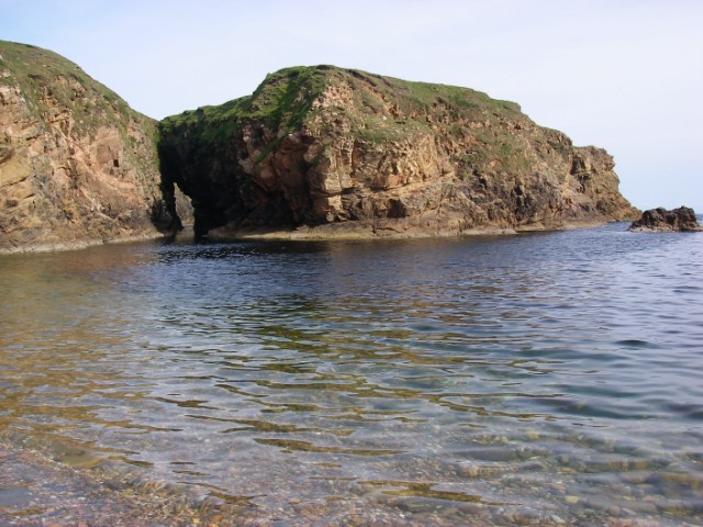
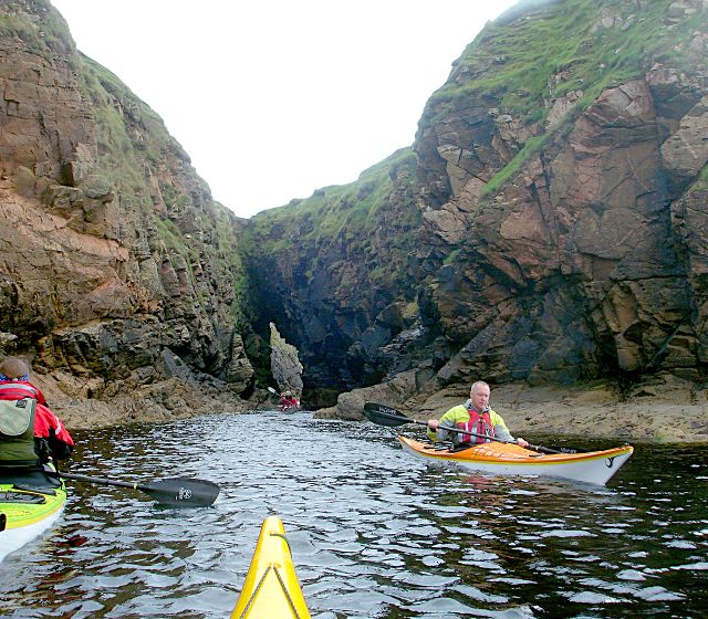
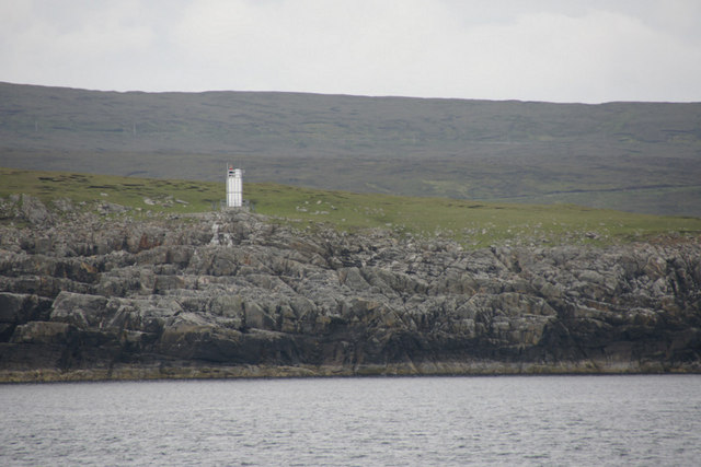
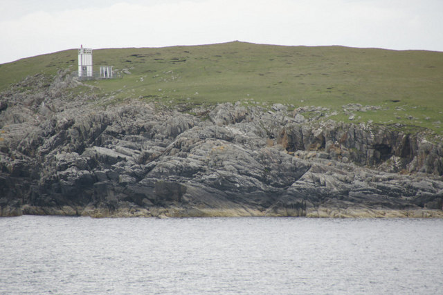
The headland is characterized by its towering cliffs that rise steeply from the sea, reaching impressive heights. These cliffs are composed of sedimentary rocks and are known for their rugged and jagged appearance. The geology of the area includes layers of sandstone and shale, which have been shaped by years of erosion from the relentless waves of the North Sea.

South Brei Geo offers breathtaking views of the surrounding coastal landscape, with its dramatic cliffs and rocky outcrops. It is also a popular spot for birdwatching, as the area is home to various seabird species, including guillemots, puffins, and razorbills. Visitors can often observe these birds nesting and fishing in the nearby waters.

The headland is easily accessible by foot, with a designated path that leads to its edge. However, caution should be exercised when exploring the area, as the cliffs can be unstable and dangerous. It is advisable to stay on the marked trails and avoid getting too close to the cliff edges.

Overall, South Brei Geo is a striking coastal feature that showcases the raw beauty of Shetland's coastline. Its imposing cliffs, diverse wildlife, and stunning vistas make it a must-visit destination for nature lovers and outdoor enthusiasts.

If you have any feedback on the listing, please let us know in the comments section below.

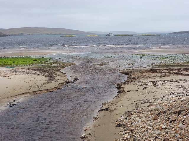
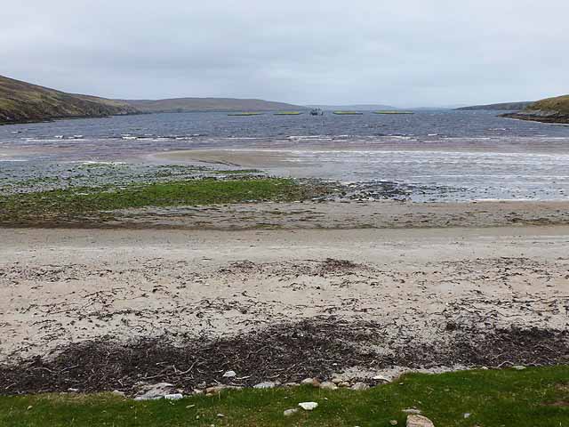
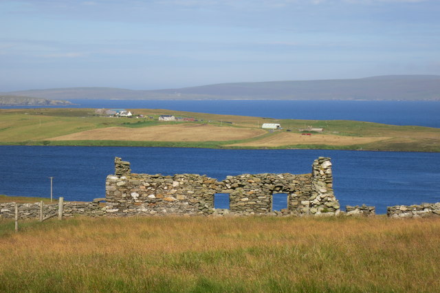
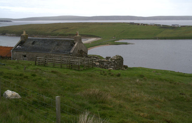
South Brei Geo Images

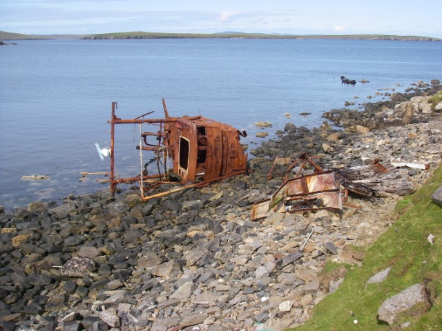
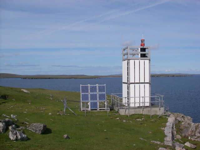
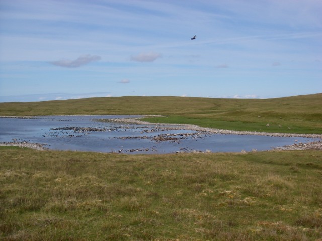
Images are sourced within 2km of 60.588536/-1.015619 or Grid Reference HU5489. Thanks to Geograph Open Source API. All images are credited.

Loch of Vatsetter As is very common in Shetland, this freshwater loch is narrowly separated from an arm of the sea by a shingle bar.
Loch of Vatsetter
As is very common in Shetland, this freshwater loch is narrowly separated from an arm of the sea by a shingle bar.
Wick of Vatsetter With fish farm. The stream in the foreground drains the Loch of Vatsetter which is narrowly separated from the sea by a shingle bar.
Wick of Vatsetter
With fish farm. The stream in the foreground drains the Loch of Vatsetter which is narrowly separated from the sea by a shingle bar.
Beach at the head of the Wick of Vatsetter With fish farms.
Beach at the head of the Wick of Vatsetter
With fish farms.
Roofless building With the Loch (and beyond it the Wick) of Vatsetter in the distance.
Roofless building
With the Loch (and beyond it the Wick) of Vatsetter in the distance.
Ruined House at Tow A big view here, with the Loch and Ness of Vatsetter nearest, the southern tip of Hascosay island on the left and Fetlar in the distance.
Ruined House at Tow
A big view here, with the Loch and Ness of Vatsetter nearest, the southern tip of Hascosay island on the left and Fetlar in the distance.
Road to Vatsetter And lots of blanket bog.
Road to Vatsetter
And lots of blanket bog.
Loch of Vatsetter A ruined croft above the Loch of Vatsetter, with the narrow ayre separating the loch from the sea just visible beyond.
Loch of Vatsetter
A ruined croft above the Loch of Vatsetter, with the narrow ayre separating the loch from the sea just visible beyond.
Vatsetter Pronounced 'Vatster'; a small group of houses above the loch. Fetlar is in the distance.
Vatsetter
Pronounced 'Vatster'; a small group of houses above the loch. Fetlar is in the distance.
Tow An abandoned croft above the Loch of Vatsetter.
Tow
An abandoned croft above the Loch of Vatsetter.
Wreck near Rana The low-lying island of Hascosay is seen across South Sound.
Wreck near Rana
The low-lying island of Hascosay is seen across South Sound.
Ruin at Whitehill An unroofed house standing alone in the landscape - a common sight in Shetland.
Ruin at Whitehill
An unroofed house standing alone in the landscape - a common sight in Shetland.
Whitehill Lighthouse This low light stands about 70ft above the sea and looks north to Hascosay and east to Fetlar.
Whitehill Lighthouse
This low light stands about 70ft above the sea and looks north to Hascosay and east to Fetlar.
Loch of Birrier A dry summer had resulted in a relatively low water level in this shallow loch below the gentle slopes of the White Hill of Vatsetter (to east/right). It was populated by large numbers of birds.
Loch of Birrier
A dry summer had resulted in a relatively low water level in this shallow loch below the gentle slopes of the White Hill of Vatsetter (to east/right). It was populated by large numbers of birds.
Birrier from the bay This broad stack of psammitic rock is linked to mainland Yell by a narrow arch, over which sheep cross to graze its flat top.
Birrier from the bay
This broad stack of psammitic rock is linked to mainland Yell by a narrow arch, over which sheep cross to graze its flat top.
Salt Wick and Vatsetter This north-east facing bay is backed by a beach of shingle and cobbles.
Salt Wick and Vatsetter
This north-east facing bay is backed by a beach of shingle and cobbles.
Sea Cave at Birrier The small island is joined to the mainland of Yell by a narrow strip of grass over this sea cave which is an obvious through-route for passing sea kayakers exploring this exciting stretch of coast.
Sea Cave at Birrier
The small island is joined to the mainland of Yell by a narrow strip of grass over this sea cave which is an obvious through-route for passing sea kayakers exploring this exciting stretch of coast.
Whitehill Lighthouse, Vatsetter
Gamla and Whitehill Lighthouse, Vatsetter
Show me another place!

South Brei Geo is located at Grid Ref: HU5489 (Lat: 60.588536, Lng: -1.015619)

Unitary Authority: Shetland Islands

Police Authority: Highlands and Islands

What 3 Words

///trappings.smokers.dust. Near Houbie, Shetland Islands

Related Wikis

Aywick

Aywick is a small settlement on the east side of Yell, an island forming part of the Shetland Islands north of Scotland. The naturalist Bobby Tulloch was...

Mid Yell

Mid Yell is a coastal settlement on the island of Yell, the second largest of Shetland Islands, Scotland. Mid Yell, the largest settlement on the island...

Hascosay

Hascosay (Scots: Hascosay; Old Norse "Hafskotsey") is a small island lying between Yell and Fetlar in the Shetland Islands, Scotland. == Geography and... ==

Otterswick

Otterswick is a hamlet on the island of Yell in the Shetland Islands, on the inlet of Otters Wick. It is on the east side of the island. There is also...

Nearby Amenities

Located within 500m of 60.588536,-1.015619
Vatsetter
Place: hamlet
Lat/Long: 60.5855329/-1.0219842
Power: pole
Lat/Long: 60.5857359/-1.0223801
The data included in this document is from www.openstreetmap.org. The data is made available under ODbL.

Have you been to South Brei Geo?

Leave your review of South Brei Geo below (or comments, questions and feedback).