Scarf Stane
Coastal Feature, Headland, Point in Shetland
Scotland
Scarf Stane

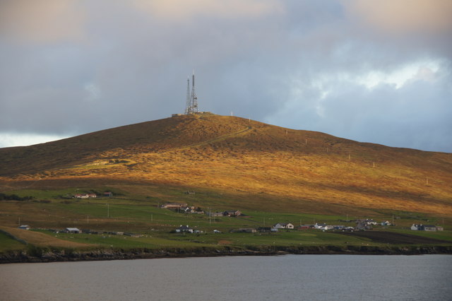
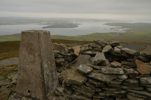
Scarf Stane is a prominent coastal feature located on the Shetland Islands, an archipelago in Scotland. It is situated on the northwestern coast of the main island, known as Mainland. This coastal feature is categorized as a headland and point, jutting out into the North Atlantic Ocean.
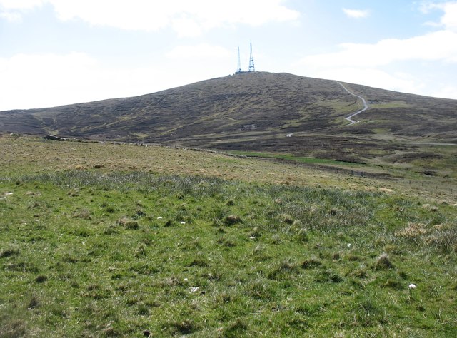
The Scarf Stane is a striking geological formation, consisting of a large rock outcrop that extends into the sea. It is composed of rugged, weathered sandstone, which gives it a unique and impressive appearance. The headland is known for its sheer cliffs and rocky terrain, adding to its dramatic beauty.
The Scarf Stane offers breathtaking panoramic views of the surrounding coastline and ocean. From its vantage point, visitors can observe the powerful waves crashing against the rocks and the vast expanse of the Atlantic Ocean. It also provides an ideal spot for birdwatching, as various seabirds can be spotted nesting and soaring above the cliffs.
Access to Scarf Stane is relatively easy, with a path leading from a nearby parking area. However, caution is advised when exploring the area, as the terrain can be hazardous due to the steep cliffs and slippery rocks. Visitors should also be mindful of the unpredictable weather conditions, as the Shetland Islands are known for their strong winds and frequent rain showers.
Overall, Scarf Stane is a captivating coastal feature that showcases the rugged beauty of the Shetland Islands. Its picturesque cliffs and stunning vistas make it an excellent destination for nature enthusiasts and photographers seeking to experience the wild and untamed beauty of the Scottish coastline.
If you have any feedback on the listing, please let us know in the comments section below.
Scarf Stane Images
Images are sourced within 2km of 60.133004/-1.0652208 or Grid Reference HU5239. Thanks to Geograph Open Source API. All images are credited.


Scarf Stane is located at Grid Ref: HU5239 (Lat: 60.133004, Lng: -1.0652208)
Unitary Authority: Shetland Islands
Police Authority: Highlands and Islands
What 3 Words
///splints.round.arrived. Near Lerwick, Shetland Islands
Nearby Locations
Related Wikis

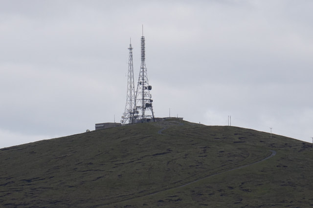
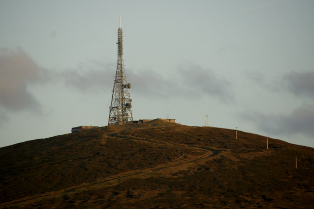
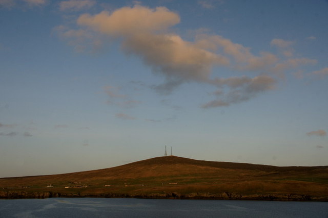
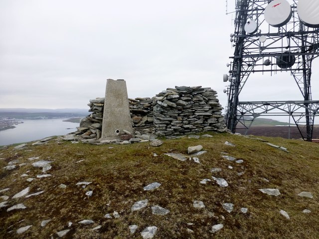
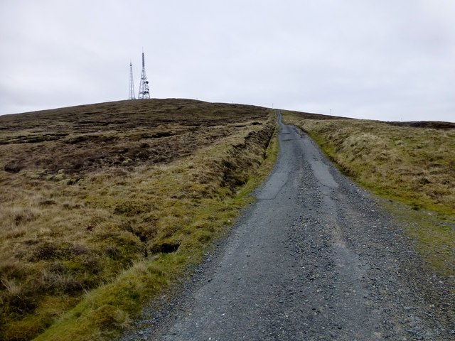
Bressay transmitting station
Bressay transmitting station is a broadcasting transmission facility for the Shetland Islands, located on the isle of Bressay, owned and operated by Arqiva...

Bressay
Bressay (Scots: Bressa) is a populated island in the Shetland archipelago of Scotland. == Geography and geology == Bressay lies due south of Whalsay, west...
Isle of Noss
The Isle of Noss or Noss (Scots: Noss) is a small, previously inhabited island in Shetland, Scotland. Noss is separated from the island of Bressay by the...

Holm of Noss
The Holm of Noss or Cradle Holm is an uninhabited islet of the Shetland Islands. It is about 48m at its highest point. == Geography and geology == It is...

Broch of Cullingsburgh
The Broch of Cullingsburgh is an Iron Age broch located in the Shetland islands. == Location == Located on Bressay, off the east coast of mainland Shetland...
Voe of Cullingsburgh
Voe of Cullingsburgh is a large sea loch off the Shetland island of Bressay, voe meaning "sea inlet" in Shetland dialect. The local spelling of the name...

Gardie House
Gardie House is an 18th-century estate house on Bressay in Shetland, Scotland. Located opposite Lerwick, across the Bressay Sound, Gardie is described...
Lerwick and Bressay Parish Church
Lerwick and Bressay Parish Church is the largest Church of Scotland congregation in Shetland, serving the islands' capital Lerwick and the surrounding...
Have you been to Scarf Stane?
Leave your review of Scarf Stane below (or comments, questions and feedback).