Blue Geo
Coastal Feature, Headland, Point in Shetland
Scotland
Blue Geo

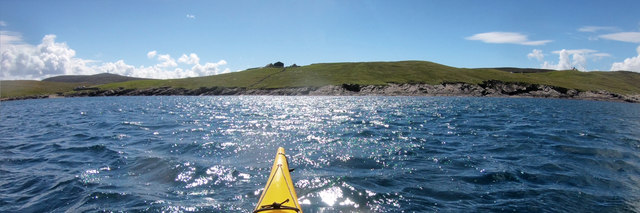
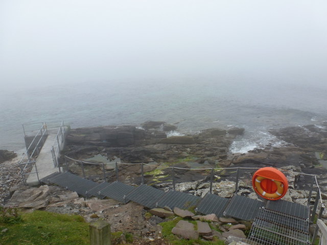
Blue Geo is a prominent coastal feature located in the Shetland Islands, an archipelago in Scotland. It is classified as a headland, also known as a point, due to its protruding formation extending into the sea. Situated on the east coast of the Shetland Mainland, Blue Geo offers captivating views of the North Sea.
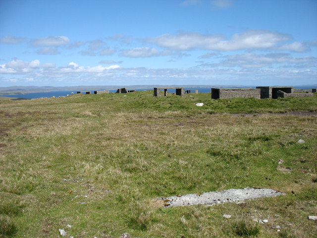
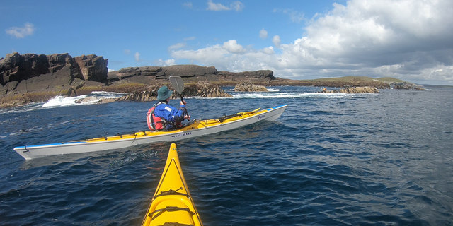
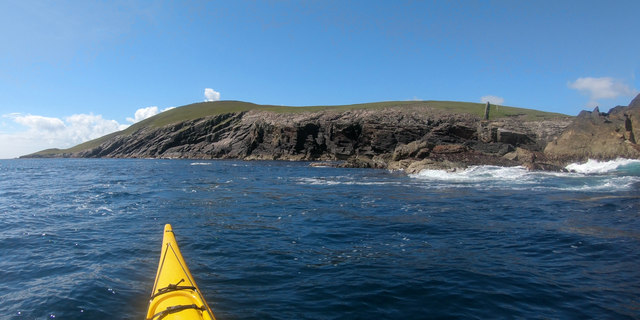
The headland is characterized by its rugged terrain, consisting of steep cliffs that rise up to approximately 60 meters above sea level. The cliffs are composed of sedimentary rock formations, showcasing layers of sandstone and shale, which have been shaped by years of erosion from the relentless waves and wind. The distinct blue hue of the sea surrounding the headland is the origin of its name, Blue Geo.
Blue Geo provides a diverse habitat for various bird species, making it a popular spot for birdwatching enthusiasts. Visitors can observe a multitude of seabirds, including kittiwakes, fulmars, and guillemots, nesting and soaring above the cliffs. The headland also offers opportunities for fishing, with anglers seeking to catch species such as cod, haddock, and mackerel.
Access to Blue Geo is possible via a coastal path that winds along the clifftops, providing breathtaking views of the surrounding coastline. The path is moderately challenging, with some steep sections, but rewards hikers with stunning vistas and the chance to witness the power of the sea crashing against the cliffs below.
Overall, Blue Geo is a captivating coastal feature in the Shetland Islands, boasting dramatic cliffs, diverse wildlife, and awe-inspiring views of the North Sea. It is a must-visit destination for nature lovers and those seeking to experience the rugged beauty of Scotland's coastline.
If you have any feedback on the listing, please let us know in the comments section below.
Blue Geo Images
Images are sourced within 2km of 60.159036/-1.0729312 or Grid Reference HU5141. Thanks to Geograph Open Source API. All images are credited.


Blue Geo is located at Grid Ref: HU5141 (Lat: 60.159036, Lng: -1.0729312)
Unitary Authority: Shetland Islands
Police Authority: Highlands and Islands
What 3 Words
///junction.shocks.blanking. Near Lerwick, Shetland Islands
Nearby Locations
Related Wikis

Broch of Cullingsburgh
The Broch of Cullingsburgh is an Iron Age broch located in the Shetland islands. == Location == Located on Bressay, off the east coast of mainland Shetland...

Voe of Cullingsburgh
Voe of Cullingsburgh is a large sea loch off the Shetland island of Bressay, voe meaning "sea inlet" in Shetland dialect. The local spelling of the name...

Bressay
Bressay (Scots: Bressa) is a populated island in the Shetland archipelago of Scotland. == Geography and geology == Bressay lies due south of Whalsay, west...

Gardie House
Gardie House is an 18th-century estate house on Bressay in Shetland, Scotland. Located opposite Lerwick, across the Bressay Sound, Gardie is described...
Isle of Noss
The Isle of Noss or Noss (Scots: Noss) is a small, previously inhabited island in Shetland, Scotland. Noss is separated from the island of Bressay by the...
Bressay transmitting station
Bressay transmitting station is a broadcasting transmission facility for the Shetland Islands, located on the isle of Bressay, owned and operated by Arqiva...
Lerwick and Bressay Parish Church
Lerwick and Bressay Parish Church is the largest Church of Scotland congregation in Shetland, serving the islands' capital Lerwick and the surrounding...
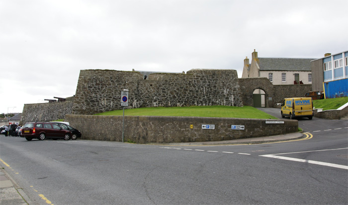
Fort Charlotte, Shetland
Fort Charlotte in the centre of Lerwick, Shetland, is an artillery fort, roughly five sided, with bastions on each of three landward corners, and half...
Nearby Amenities
Located within 500m of 60.159036,-1.0729312Have you been to Blue Geo?
Leave your review of Blue Geo below (or comments, questions and feedback).