Croo Geo
Coastal Feature, Headland, Point in Shetland
Scotland
Croo Geo
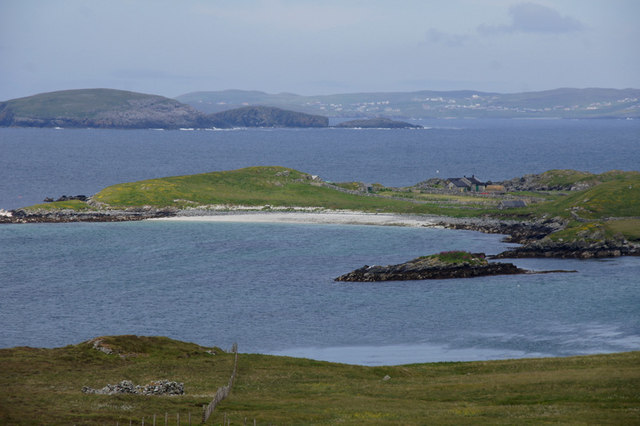
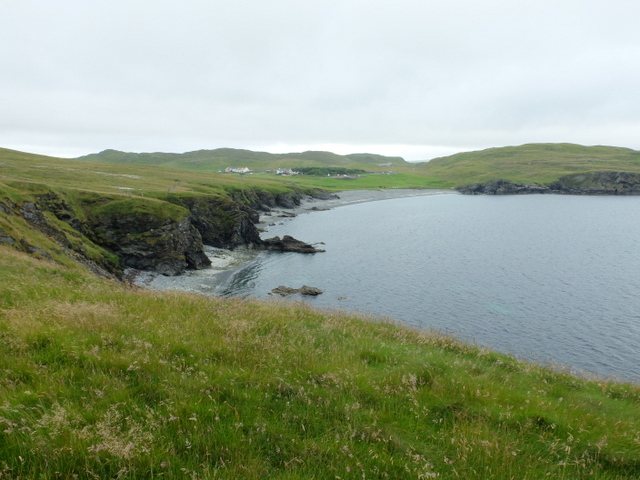
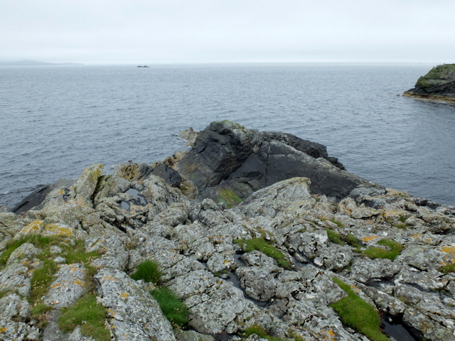
Croo Geo is a prominent coastal feature located in the Shetland Islands, an archipelago in the North Atlantic Ocean. It is classified as a headland or point, characterized by its unique geology and stunning natural beauty.
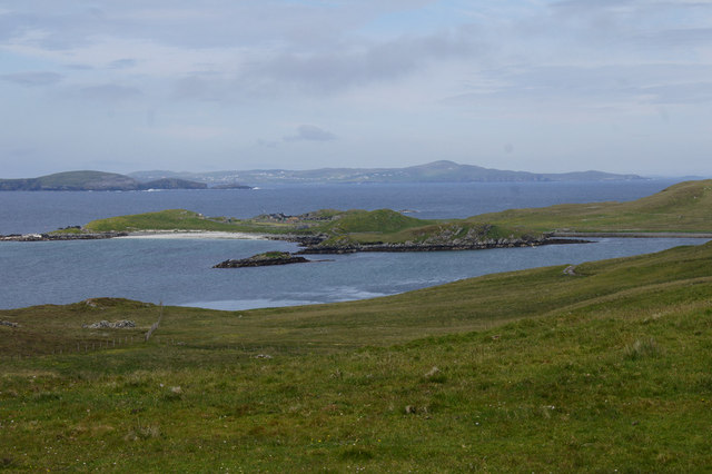
The name "Croo Geo" is derived from the Old Norse word "króar," meaning a "nook" or "corner," which accurately describes its shape. This coastal feature is situated on the west coast of the mainland of Shetland, near the village of Walls. It is easily accessible by road and offers visitors breathtaking views of the surrounding landscape.
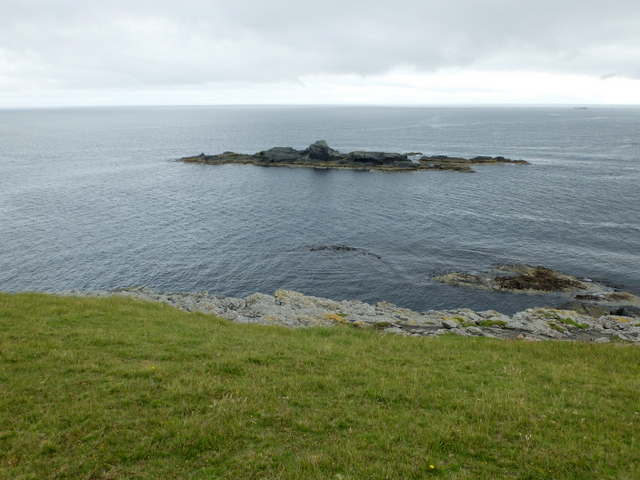
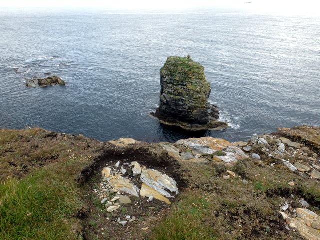
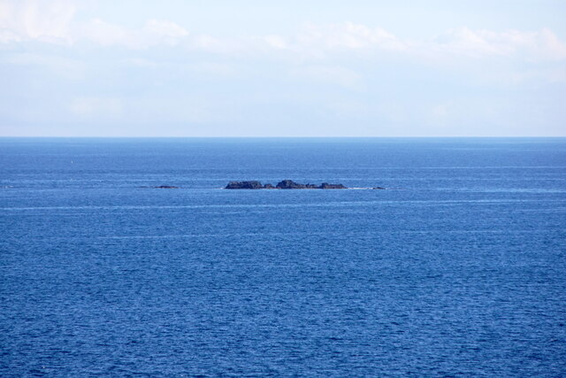
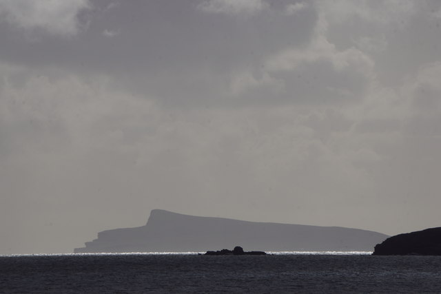
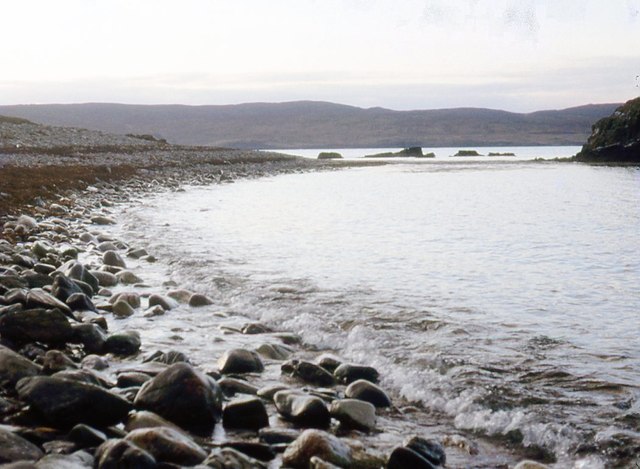
Croo Geo is renowned for its towering cliffs, which reach heights of over 100 meters (328 feet) in some areas. These cliffs are composed of layered sedimentary rock, showcasing a diverse array of colors and textures. The constant erosion by the powerful waves of the North Atlantic has carved out sea caves and natural arches within the cliffs, adding to the geological allure of the site.
The area surrounding Croo Geo is rich in biodiversity, providing a habitat for numerous seabird species, including puffins, fulmars, and guillemots. Visitors can witness these birds nesting and fishing along the cliffs, creating a captivating spectacle for nature enthusiasts.
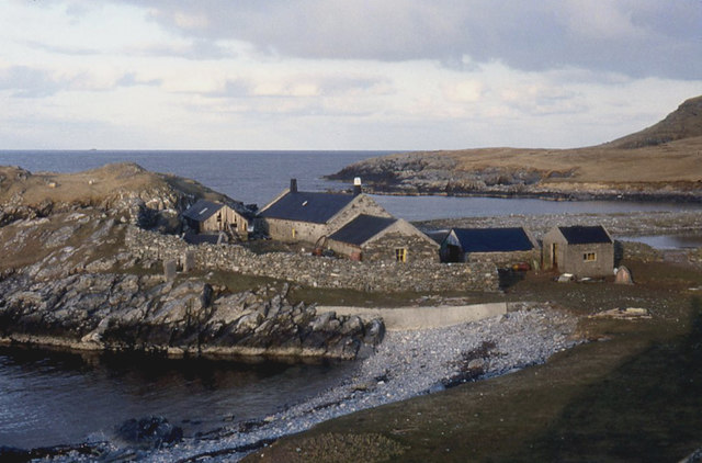
In addition to its natural splendor, Croo Geo holds historical significance, with remnants of ancient settlements nearby. Archaeological evidence suggests that the area was inhabited as far back as the Iron Age, making it a site of cultural interest as well.
Overall, Croo Geo is a must-visit coastal feature in Shetland, offering a combination of stunning geological formations, diverse wildlife, and glimpses into the region's rich history.
If you have any feedback on the listing, please let us know in the comments section below.
Croo Geo Images
Images are sourced within 2km of 60.267516/-1.0979178 or Grid Reference HU5054. Thanks to Geograph Open Source API. All images are credited.


Croo Geo is located at Grid Ref: HU5054 (Lat: 60.267516, Lng: -1.0979178)
Unitary Authority: Shetland Islands
Police Authority: Highlands and Islands
What 3 Words
///variances.line.possibly. Near Symbister, Shetland Islands
Nearby Locations
Related Wikis

North Isle of Gletness
The North Isle of Gletness is one of the Shetland Islands. It is east of the Shetland Mainland, near Gletness in Nesting parish, and is so called in contradistinction...

Brettabister
Brettabister is a settlement on the island of Mainland in Shetland, Scotland. It is in the parish of Nesting. St. Ola's parish church lies to the east...

Nesting, Shetland
Nesting is a parish in the Shetland Islands, Scotland. It includes a part of the east Shetland Mainland, measuring about twelve by four miles (19 by 6...
Freester
Freester is a settlement on Mainland, Shetland, Scotland. It is in the parish of Nesting. == References == == External links == Canmore - Hard Knowe site...

Neap
Neap is a small village in the east coast of the Mainland of the Shetland Islands, Scotland. Neap is situated at the end of the road from Brettabister...

South Isle of Gletness
The South Isle of Gletness is an islet off Gletness, in Nesting in east central, Mainland, Shetland. It is 30m at its highest point. Amongst its features...

RAF Catfirth
RAF Catfirth was a First World War seaplane base located on the island of Mainland in the Shetland Islands, Scotland. The base was under the control of...

Billister
Billister is a settlement in the parish of Nesting, on the island of Mainland, in Shetland, Scotland. It is on Lax Firth. Billister was formerly the terminal...
Have you been to Croo Geo?
Leave your review of Croo Geo below (or comments, questions and feedback).