Blue Geo
Coastal Feature, Headland, Point in Shetland
Scotland
Blue Geo
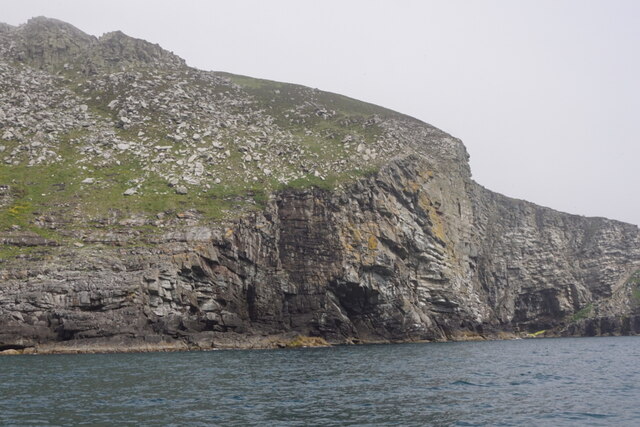
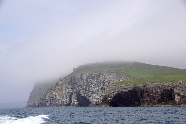
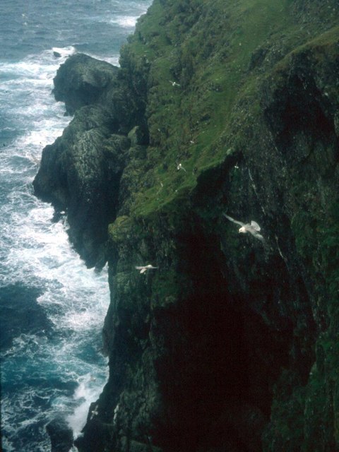
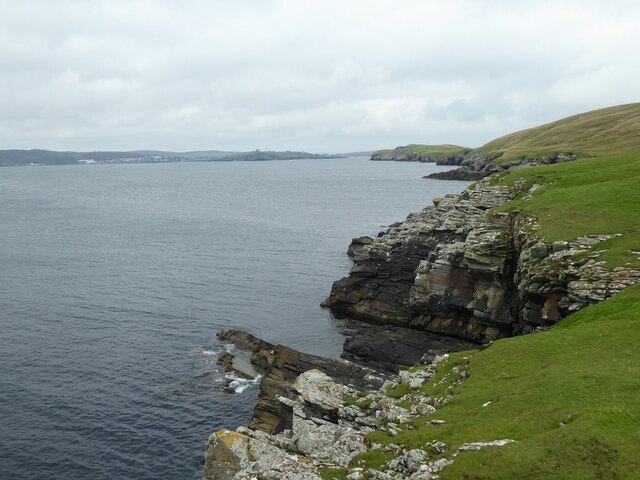
Blue Geo is a striking coastal feature located in the Shetland Islands, off the coast of Scotland. It is categorized as a headland, specifically a point that juts out into the North Sea. The name "Blue Geo" is derived from the Old Norse word "geoi," meaning a narrow cleft or ravine, which accurately describes the geological formation of this prominent headland.
Situated on the west coast of the Shetland Mainland, Blue Geo is characterized by its towering cliffs and steep slopes, which provide a mesmerizing backdrop against the turquoise waters of the sea. The headland is mainly composed of rugged sandstone, showcasing layers of sedimentary rocks that have been eroded over millions of years by the relentless forces of wind and waves.
Blue Geo is not only a visually stunning landmark but also a haven for various seabird species. Visitors can often spot colonies of seabirds such as puffins, guillemots, and kittiwakes, nesting on the cliff ledges and soaring above the crashing waves. These avian inhabitants contribute to the area's unique ecosystem and add to its natural charm.
Moreover, Blue Geo is a popular destination for hikers and nature enthusiasts, offering breathtaking coastal walks and panoramic views of the surrounding landscape. The headland serves as an excellent vantage point to observe the dramatic coastline, with its sea stacks, caves, and arches, formed through the continuous geological processes at work.
In conclusion, Blue Geo is a remarkable headland in the Shetland Islands, characterized by its impressive cliffs, diverse birdlife, and captivating coastal scenery. It serves as a testament to the raw beauty and geological history of the region, attracting visitors from near and far who seek to experience its awe-inspiring natural wonders.
If you have any feedback on the listing, please let us know in the comments section below.
Blue Geo Images
Images are sourced within 2km of 60.115276/-1.1117096 or Grid Reference HU4937. Thanks to Geograph Open Source API. All images are credited.


Blue Geo is located at Grid Ref: HU4937 (Lat: 60.115276, Lng: -1.1117096)
Unitary Authority: Shetland Islands
Police Authority: Highlands and Islands
What 3 Words
///flagpole.flasks.servicing. Near Lerwick, Shetland Islands
Nearby Locations
Related Wikis

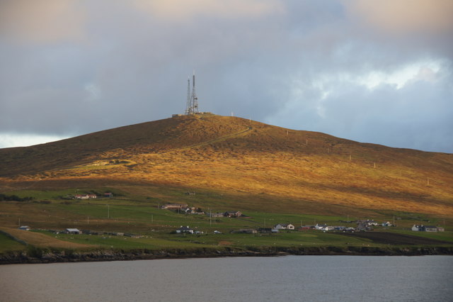
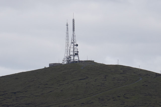
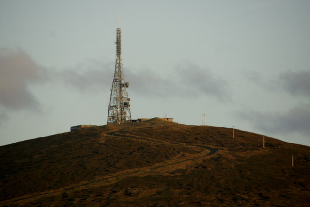
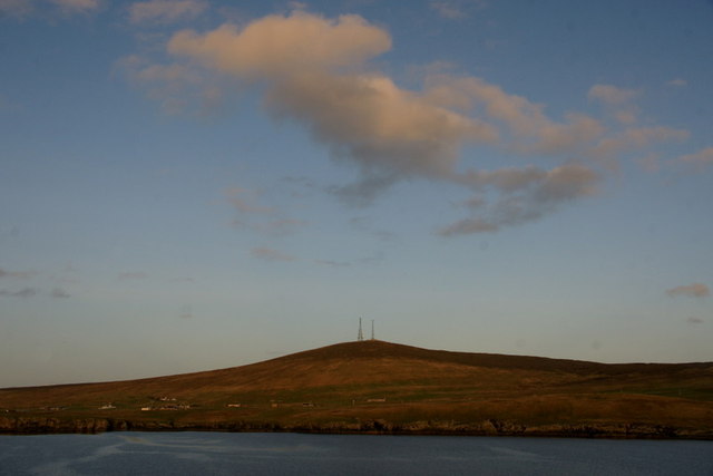
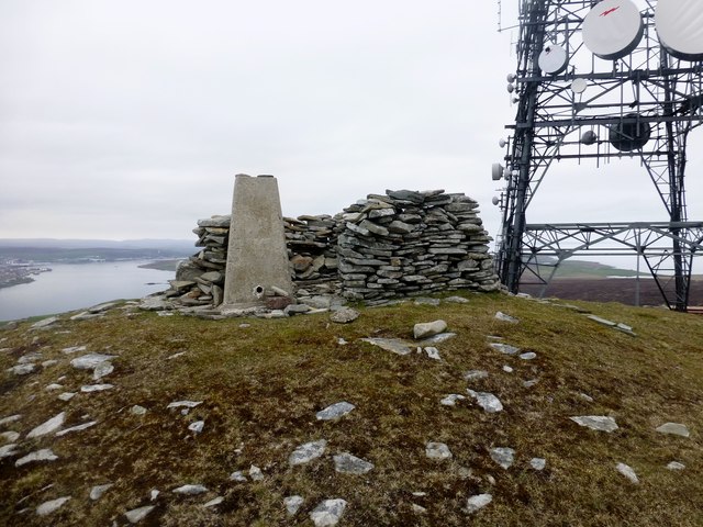
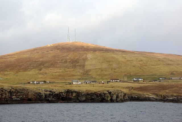
Bressay transmitting station
Bressay transmitting station is a broadcasting transmission facility for the Shetland Islands, located on the isle of Bressay, owned and operated by Arqiva...

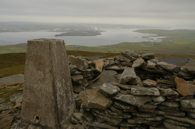
Bressay
Bressay (Scots: Bressa) is a populated island in the Shetland archipelago of Scotland. == Geography and geology == Bressay lies due south of Whalsay, west...
Lerwick and Bressay Parish Church
Lerwick and Bressay Parish Church is the largest Church of Scotland congregation in Shetland, serving the islands' capital Lerwick and the surrounding...
Lerwick Observatory
Lerwick Observatory (also known as Lerwick Magnetic Observatory) is a British meteorological observatory located near the port at Lerwick, Shetland Islands...
Have you been to Blue Geo?
Leave your review of Blue Geo below (or comments, questions and feedback).