South Geo of Bretabister

Coastal Feature, Headland, Point in Shetland

Scotland

South Geo of Bretabister

Ura Stack, Kirkabister, Nesting
Ura Stack, Kirkabister, Nesting Credit: Mike Pennington

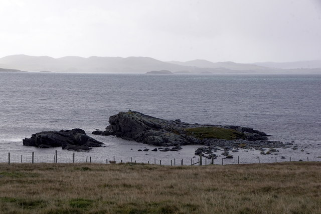
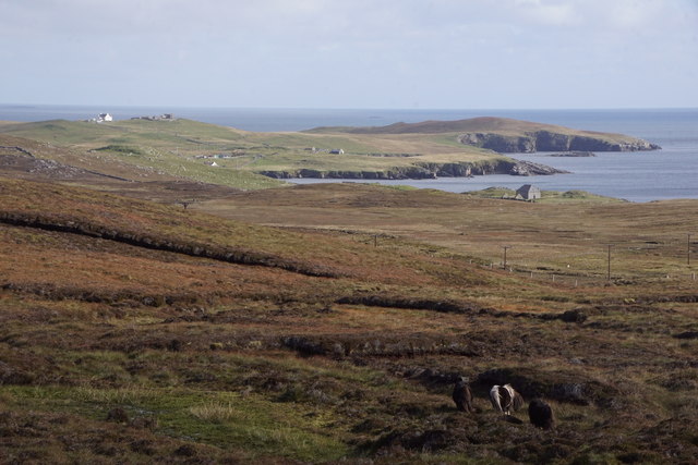
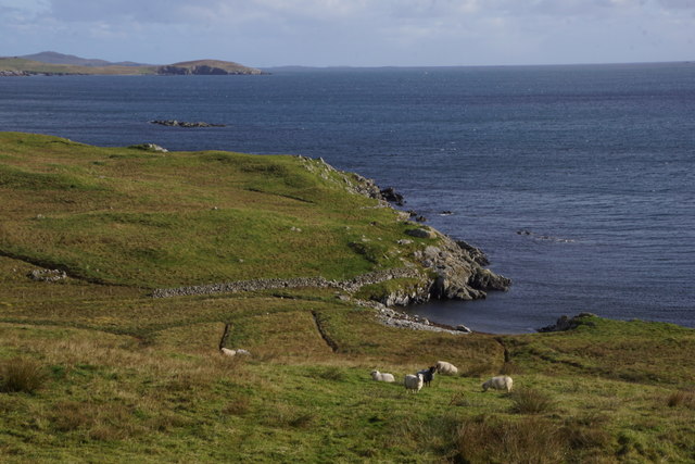
South Geo of Bretabister is a prominent coastal feature located in the Shetland Islands, Scotland. It is a headland that extends into the North Sea, forming a distinctive point along the rugged coastline. With its dramatic cliffs and picturesque views, it is a popular destination for nature enthusiasts and hikers.

The South Geo of Bretabister is characterized by its steep and towering cliffs, which reach heights of up to 100 meters (328 feet) above sea level. These cliffs are composed of sedimentary rocks, primarily sandstone and shale, and display intricate layers and formations that reveal the geological history of the area.

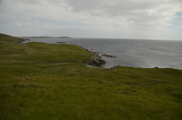
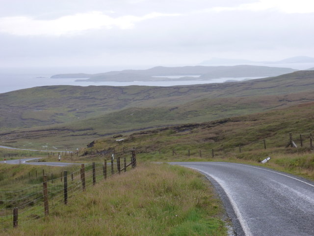
The headland offers breathtaking panoramic views of the surrounding landscape, including the vast expanse of the North Sea and the neighboring islands. On a clear day, visitors can even catch a glimpse of distant seabird colonies that inhabit the cliffs, such as puffins, guillemots, and razorbills.

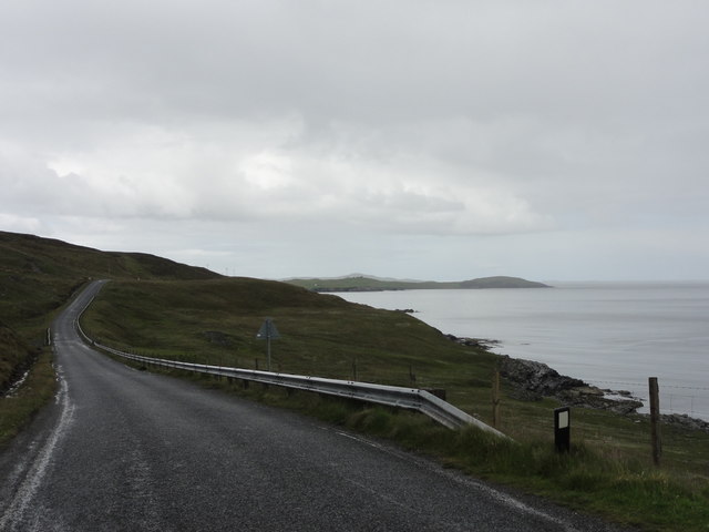
Access to the South Geo of Bretabister is possible via a well-maintained coastal path, which winds its way along the cliff edges and provides a safe route for visitors to explore the area. However, caution is advised as the cliffs can be unstable in some places, and it is important to stay on designated paths and avoid getting too close to the cliff edges.

Overall, the South Geo of Bretabister is a captivating coastal feature that offers a unique opportunity to witness the raw beauty of the Shetland Islands. Its towering cliffs, breathtaking views, and diverse wildlife make it a must-visit destination for nature enthusiasts and those seeking an immersive experience in the rugged Scottish coastline.

If you have any feedback on the listing, please let us know in the comments section below.

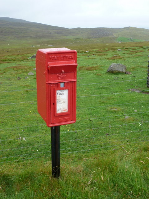
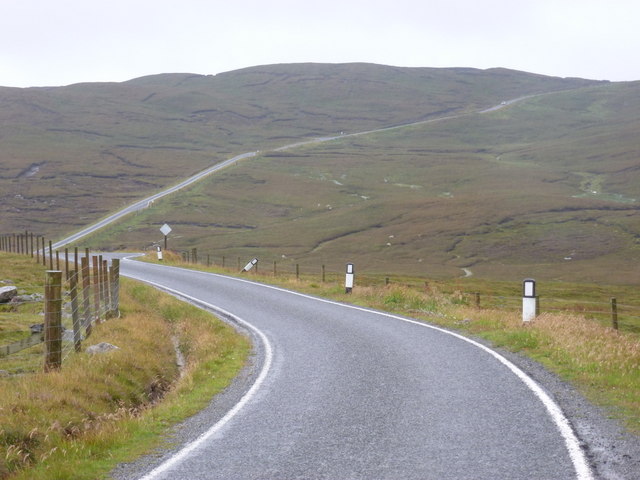
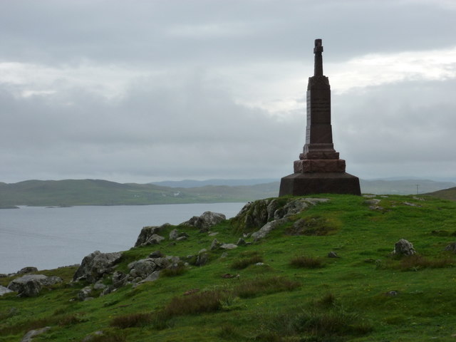
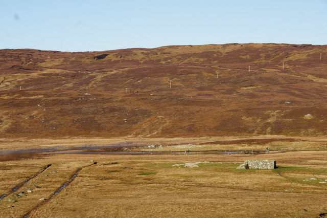
South Geo of Bretabister Images

Images are sourced within 2km of 60.297694/-1.1273358 or Grid Reference HU4857. Thanks to Geograph Open Source API. All images are credited.

Ura Stack, Kirkabister, Nesting
Coastal road View along the B9075 road
Coastal road
View along the B9075 road
Vegetation by old quarry Vegetation growing by old quarry.
Vegetation by old quarry
Vegetation growing by old quarry.
Boadie Geo, South Nesting, Shetland Part of the coastline on the east coast of mainland Shetland
Boadie Geo, South Nesting, Shetland
Part of the coastline on the east coast of mainland Shetland
Grunna Taing, South Nesting
Kirkabister and Hill of Neap from Mossy Hill, Nesting
Boadie Geo, South Nesting
Digger at Clubb of Newing, South Nesting
New comms mast at Kirk Ward, Nesting
Loch of Bellister, Nesting Some of the plant for the initial phases of the controversial Viking Energy wind farm can be seen on the peat at the far end of the loch.
Loch of Bellister, Nesting
Some of the plant for the initial phases of the controversial Viking Energy wind farm can be seen on the peat at the far end of the loch.
Brettabister: the B9075 approaches from the north Looking along the B9075 as it heads towards Brettabister from Laxo; having just come over Mossy Hill it's downhill virtually all the way from here into the village.
Brettabister: the B9075 approaches from the north
Looking along the B9075 as it heads towards Brettabister from Laxo; having just come over Mossy Hill it's downhill virtually all the way from here into the village.
Brettabister: postbox № ZE2 60 A small postbox on the B9075, emptied at 9:30 on weekday and Saturday mornings.
Brettabister: postbox № ZE2 60
A small postbox on the B9075, emptied at 9:30 on weekday and Saturday mornings.
Brettabister: the B9075 heads for Laxo Looking west at this point, but actually northbound, on the B9075 as it leaves Brettabister and ascends Mossy Hill on its way to Laxo.
Brettabister: the B9075 heads for Laxo
Looking west at this point, but actually northbound, on the B9075 as it leaves Brettabister and ascends Mossy Hill on its way to Laxo.
Brettabister: the war memorial The war memorial for North Nesting parish stands on Lambs Knowe, a craggy slope in the hamlet of Brettabister. South Nesting Bay is in the background.
Brettabister: the war memorial
The war memorial for North Nesting parish stands on Lambs Knowe, a craggy slope in the hamlet of Brettabister. South Nesting Bay is in the background.
View across South Nesting Bay towards Noss
Looking south down B9075 After a day of showers on Unst, Yell and Whalsay, the sun came out as I drove south to Lerwick.  The grey distant hills are on Noss (far left) and Ward Hill, Bressay (far right).
Looking south down B9075
After a day of showers on Unst, Yell and Whalsay, the sun came out as I drove south to Lerwick. The grey distant hills are on Noss (far left) and Ward Hill, Bressay (far right).
Wick of Kirkabister, Nesting
Loch of Kirkabister, Nesting
Show me another place!

South Geo of Bretabister is located at Grid Ref: HU4857 (Lat: 60.297694, Lng: -1.1273358)

Unitary Authority: Shetland Islands

Police Authority: Highlands and Islands

What 3 Words

///croutons.impeached.gazes. Near Symbister, Shetland Islands

Related Wikis

Brettabister

Brettabister is a settlement on the island of Mainland in Shetland, Scotland. It is in the parish of Nesting. St. Ola's parish church lies to the east...

Nesting, Shetland

Nesting is a parish in the Shetland Islands, Scotland. It includes a part of the east Shetland Mainland, measuring about twelve by four miles (19 by 6...

Neap

Neap is a small village in the east coast of the Mainland of the Shetland Islands, Scotland. Neap is situated at the end of the road from Brettabister...

Billister

Billister is a settlement in the parish of Nesting, on the island of Mainland, in Shetland, Scotland. It is on Lax Firth. Billister was formerly the terminal...

Geopark Shetland

Geopark Shetland is the name used by the Geopark formally established in September 2009 on its entry into the European Geoparks Network. The Geopark extends...

RAF Catfirth

RAF Catfirth was a First World War seaplane base located on the island of Mainland in the Shetland Islands, Scotland. The base was under the control of...

Freester

Freester is a settlement on Mainland, Shetland, Scotland. It is in the parish of Nesting. == References == == External links == Canmore - Hard Knowe site...

Viking Wind Farm

Viking Wind Farm is a large on-shore wind farm under construction in the Shetland Islands which is being developed by Viking Energy, a partnership between...

Nearby Amenities

Located within 500m of 60.297694,-1.1273358
Post Box
Operator: Royal Mail
Ref: ZE2 60
Lat/Long: 60.2996364/-1.1310554
Historic: memorial
Lat/Long: 60.2990993/-1.1310072
Barrier: cattle_grid
Lat/Long: 60.2989557/-1.1302724
Power: pole
Lat/Long: 60.2993127/-1.1285628
Power: pole
Lat/Long: 60.2998716/-1.1284468
Power: pole
Lat/Long: 60.3000564/-1.1283763
Power: pole
Lat/Long: 60.3003967/-1.1281625
Power: pole
Lat/Long: 60.3013116/-1.1225406
Power: pole
Lat/Long: 60.3010243/-1.1239074
Power: pole
Lat/Long: 60.3007595/-1.1250809
Power: pole
Lat/Long: 60.30048/-1.1263727
Power: pole
Lat/Long: 60.3003121/-1.1271664
Power: pole
Lat/Long: 60.2995223/-1.1291746
Power: pole
Lat/Long: 60.2989915/-1.1299933
Power: pole
Lat/Long: 60.2985126/-1.1307097
Power: pole
Lat/Long: 60.2980664/-1.1313806
Power: pole
Lat/Long: 60.2976258/-1.1320333
Power: pole
Lat/Long: 60.29705/-1.1329498
Power: pole
Lat/Long: 60.2963209/-1.1333023
Power: pole
Lat/Long: 60.2958171/-1.1335479
Power: pole
Lat/Long: 60.2950474/-1.1339231
The data included in this document is from www.openstreetmap.org. The data is made available under ODbL.

Have you been to South Geo of Bretabister?

Leave your review of South Geo of Bretabister below (or comments, questions and feedback).