Timber Geo
Coastal Feature, Headland, Point in Shetland
Scotland
Timber Geo
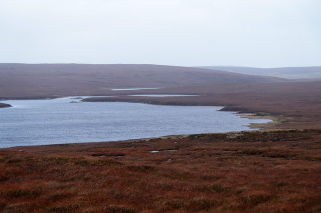
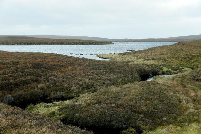
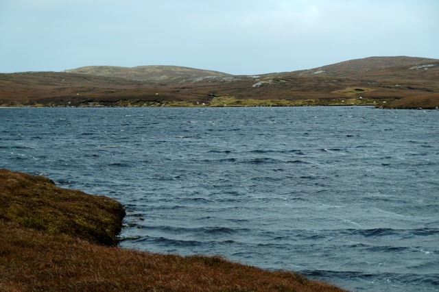
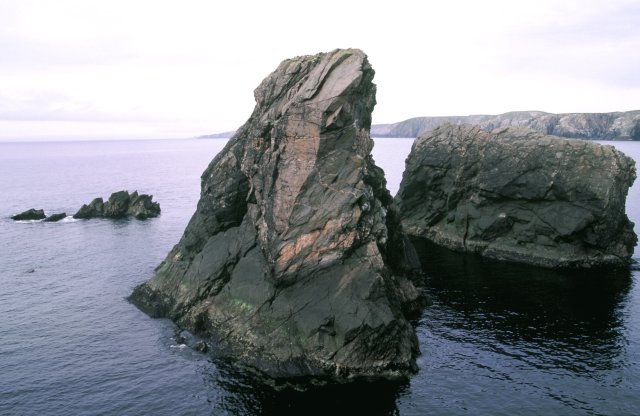
Timber Geo is a prominent coastal feature located in the Shetland Islands, an archipelago in Scotland. It is classified as a headland with a distinct point extending out into the North Sea. The geo, a local term for a narrow inlet or cove, is known for its breathtaking natural beauty and unique geological formations.
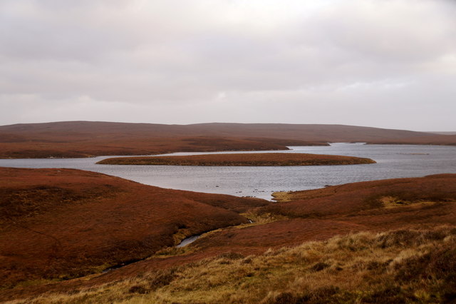
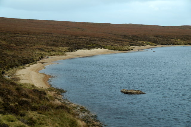
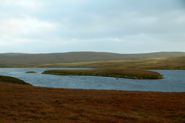
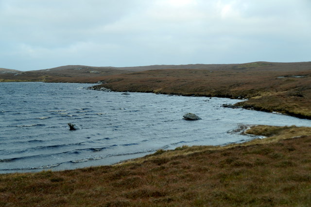
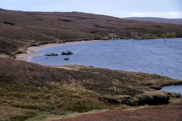
Situated on the western coast of Shetland, Timber Geo offers stunning panoramic views of the surrounding rugged cliffs, crystal-clear waters, and nearby islands. The headland is characterized by towering cliffs made of sedimentary rock, displaying layers of different colors and textures, adding to its aesthetic appeal. These cliffs also serve as nesting grounds for various seabird species, including puffins, guillemots, and razorbills.
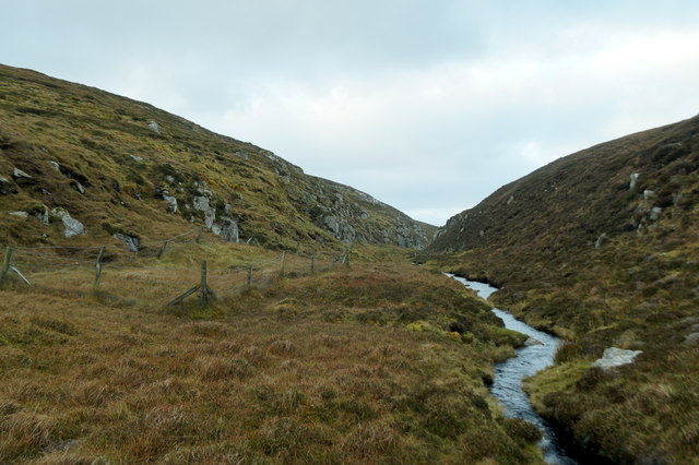
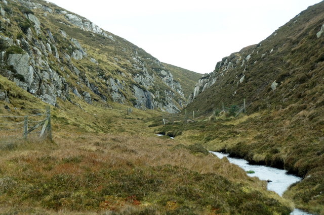
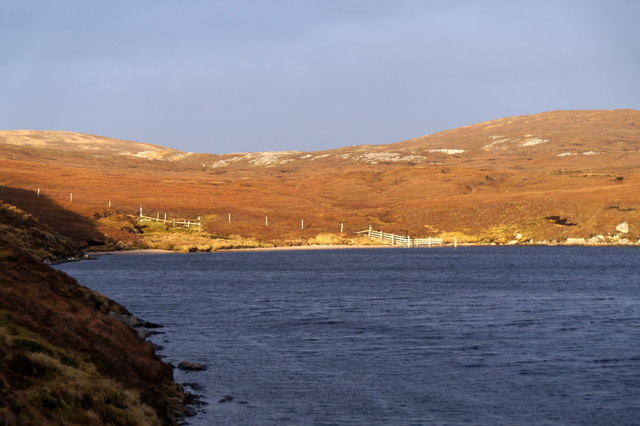
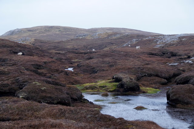
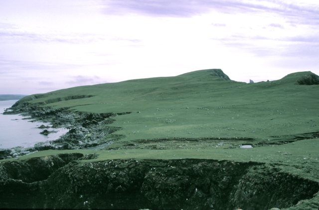
Timber Geo is accessible via a narrow footpath that winds its way down to the shoreline. The path is surrounded by lush vegetation, including heather, grasses, and wildflowers, providing a picturesque backdrop against the dramatic coastal scenery. As visitors approach the point of the headland, they can witness the powerful crashing waves and feel the invigorating sea breeze.
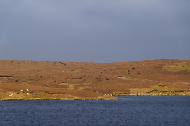
The area surrounding Timber Geo is rich in marine life, making it a popular spot for fishing and birdwatching enthusiasts. Seals can often be spotted basking on rocks or swimming in the nearby waters, while otters occasionally make appearances along the shoreline.
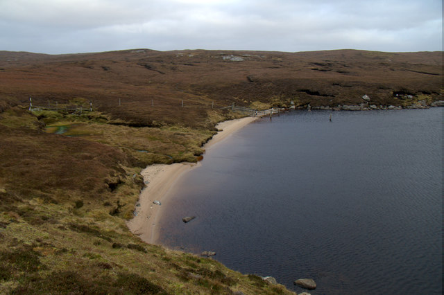
Overall, Timber Geo is a remarkable coastal feature in Shetland, offering visitors a chance to immerse themselves in the untamed beauty of Scotland's northernmost islands. Its combination of stunning cliffs, abundant wildlife, and awe-inspiring vistas make it a must-visit destination for nature lovers and outdoor enthusiasts alike.
If you have any feedback on the listing, please let us know in the comments section below.
Timber Geo Images
Images are sourced within 2km of 60.661026/-1.1372482 or Grid Reference HU4797. Thanks to Geograph Open Source API. All images are credited.
Timber Geo is located at Grid Ref: HU4797 (Lat: 60.661026, Lng: -1.1372482)
Unitary Authority: Shetland Islands
Police Authority: Highlands and Islands
What 3 Words
///seasons.swinging.domain. Near Gutcher, Shetland Islands
Nearby Locations
Related Wikis

Ern Stack
Ern Stack is a sea stack off Yell, in Shetland, Scotland. The word "ern" means an eagle (it is a cognate of, for example, Swedish "örn"), and it is said...

Yell, Shetland
Yell (Scots: Yell) is one of the North Isles of Shetland, Scotland. In the 2011 census it had a usually resident population of 966. It is the second largest...

Basta, Shetland
Basta is a hamlet on the island of Yell in the Shetland islands of Scotland. It is on the shores of Basta Voe and is in the parish of Yell. == References... ==

North Isles
The North Isles are the northern islands of the Shetland Islands, Scotland. The main islands in the group are Yell, Unst and Fetlar. Sometimes the islands...

Gutcher
Gutcher is a settlement on the northeast coast of Yell in the Shetland islands. From here, rollon/roll off ferry services to Belmont on Unst and Hamars...

Gloup
Note: Gloup is common in Scottish placenames referring to a sea jet. Gloup is a village in the far north of the island of Yell in the Shetland Islands...

Mid Yell
Mid Yell is a coastal settlement on the island of Yell, the second largest of Shetland Islands, Scotland. Mid Yell, the largest settlement on the island...

Linga, Bluemull Sound
Linga is a very small uninhabited island in the Bluemull Sound, Shetland, Scotland. It is one of many islands in Shetland called Linga. It has an area...
Have you been to Timber Geo?
Leave your review of Timber Geo below (or comments, questions and feedback).