Point of Scattland
Coastal Feature, Headland, Point in Shetland
Scotland
Point of Scattland
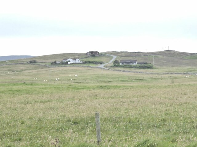
Point of Scattland is a prominent coastal feature located on the Shetland Islands, Scotland. Situated on the west coast of the mainland, it is a captivating headland that juts out into the North Atlantic Ocean. With its dramatic cliffs and rugged terrain, Point of Scattland offers breathtaking panoramic views of the surrounding seascape.
This headland is characterized by its towering cliffs, which reach heights of up to 200 meters (656 feet). The cliffs are composed of ancient sedimentary rock formations that have been shaped by centuries of erosion from the relentless waves and winds. The rugged landscape is further accentuated by the presence of numerous sea stacks and natural arches, adding to the area's natural beauty.
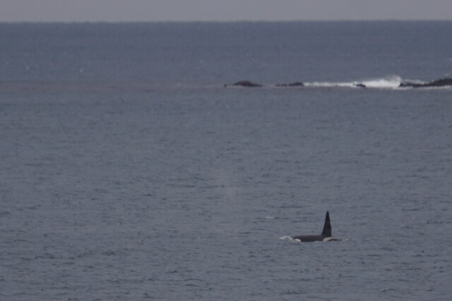
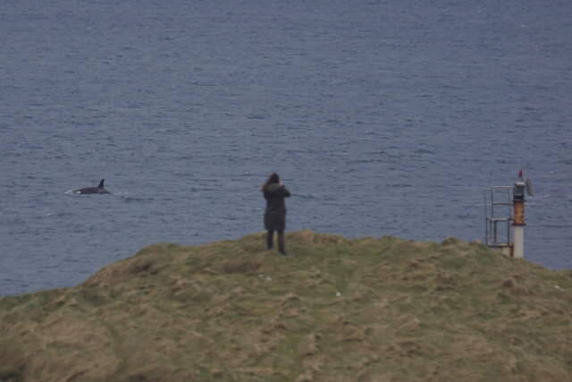
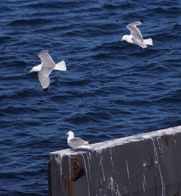
The area surrounding Point of Scattland is abundant in wildlife, making it a popular spot for nature enthusiasts. Seabird colonies, including puffins, guillemots, and fulmars, can be observed nesting along the cliff edges. Visitors may also be lucky enough to catch a glimpse of seals, dolphins, and even whales swimming offshore.
Access to Point of Scattland is relatively easy, with a well-maintained footpath leading to the headland. However, caution is advised when exploring the area, as the cliffs can be steep and unstable in some places.
Point of Scattland is a truly captivating coastal feature that showcases the raw beauty of the Shetland Islands. Its dramatic cliffs, diverse wildlife, and stunning views make it a must-visit destination for nature lovers and outdoor enthusiasts.
If you have any feedback on the listing, please let us know in the comments section below.
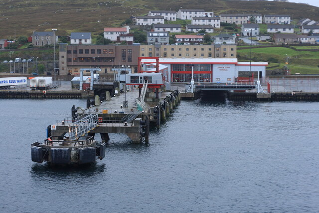
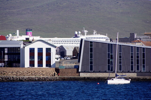
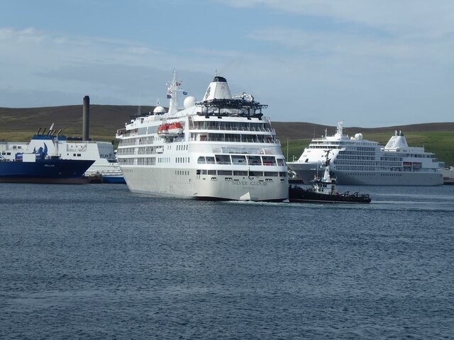
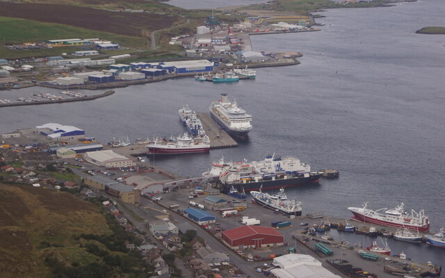
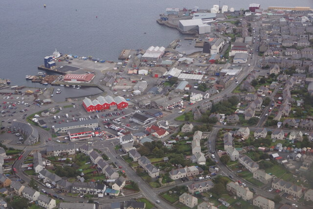
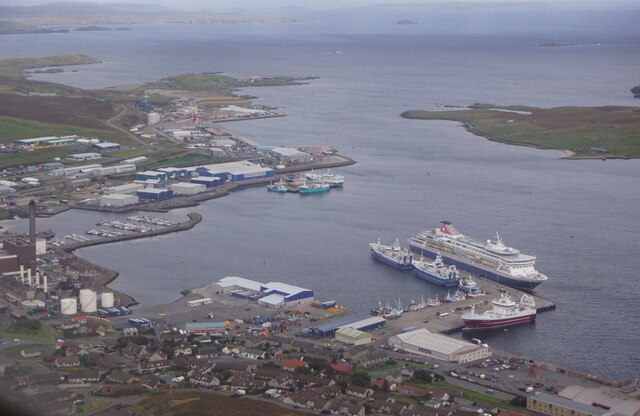
Point of Scattland Images
Images are sourced within 2km of 60.174578/-1.1547185 or Grid Reference HU4743. Thanks to Geograph Open Source API. All images are credited.

Point of Scattland is located at Grid Ref: HU4743 (Lat: 60.174578, Lng: -1.1547185)
Unitary Authority: Shetland Islands
Police Authority: Highlands and Islands
What 3 Words
///fish.sprouting.initiates. Near Lerwick, Shetland Islands
Nearby Locations
Related Wikis
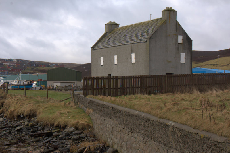
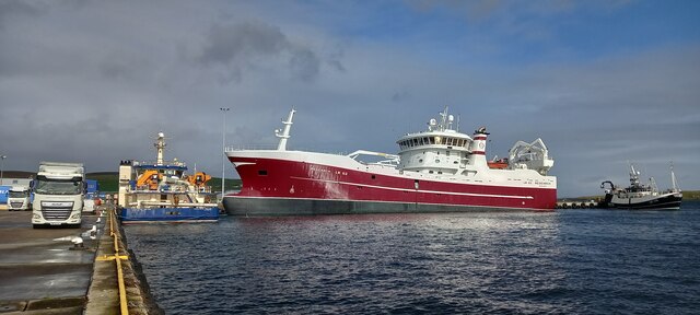
Böd of Gremista
The Böd of Gremista, situated at the north end of Lerwick, Shetland, Scotland, is a typical 18th century Shetland fishing booth (or böd). It is protected...
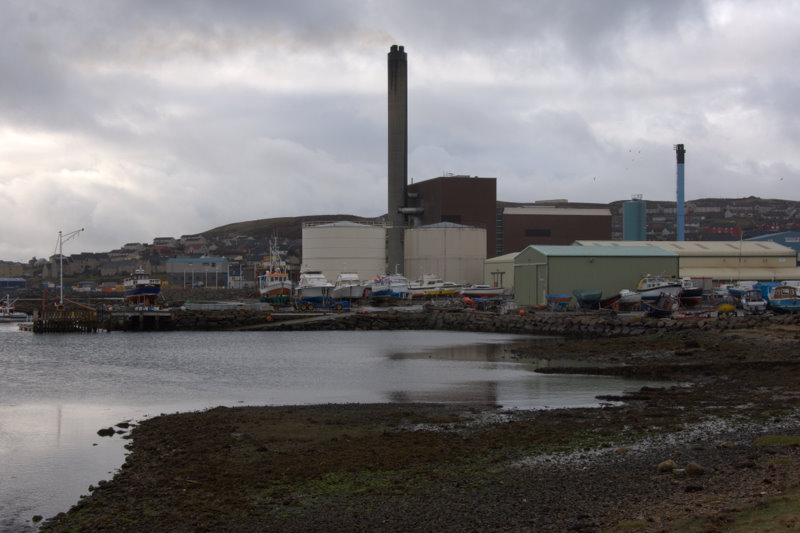
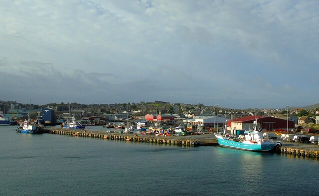
Lerwick Power Station
The main power supply for Shetland is provided by Lerwick Power Station, located in Gremista, 2 kilometres (1.2 mi) northwest of Lerwick town centre. This...

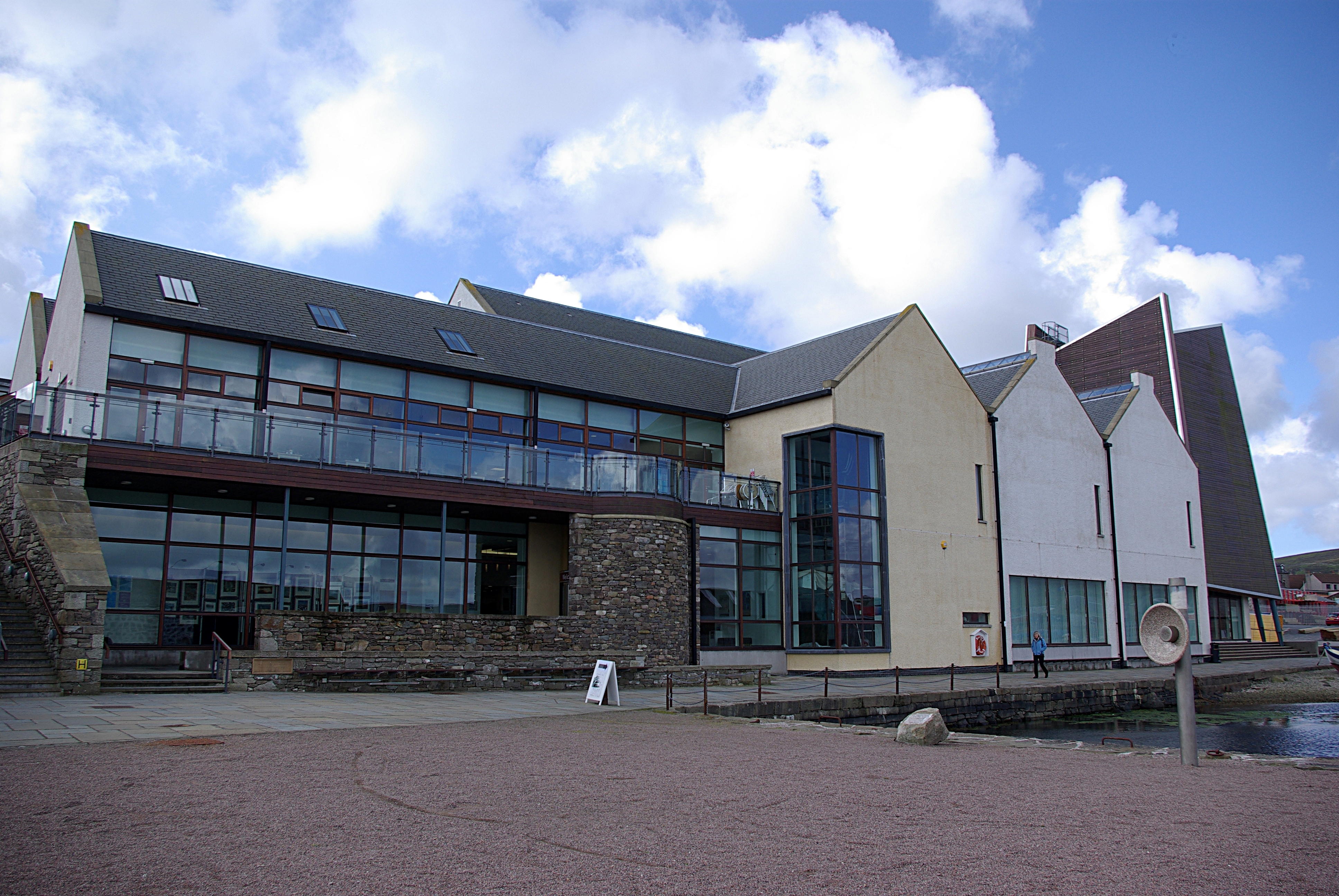
Mareel
Mareel is a multi-purpose entertainment venue located on the waterfront of Lerwick, the capital of Shetland. Opening in 2012, the facility includes a music...
Shetland Museum
The Shetland Museum and Archives is a museum in Lerwick, Shetland, Scotland. The new Shetland Museum at Hay's Dock was officially opened on 31 May 2007...

Viking bus station
Viking Bus Station is a bus station in Lerwick, Shetland, Scotland. The station is used both by passengers and for freight, which is transported by bus...
SIBC
Shetland Islands Broadcasting Company (SIBC) is an Independent Local Radio station broadcasting in the Shetland Islands. Its coverage area is Shetland...

Garrison Theatre
The Garrison Theatre is a 280-capacity venue in Lerwick, Shetland, Scotland, with a sprung proscenium stage with fixed raked seating. The auditorium has...
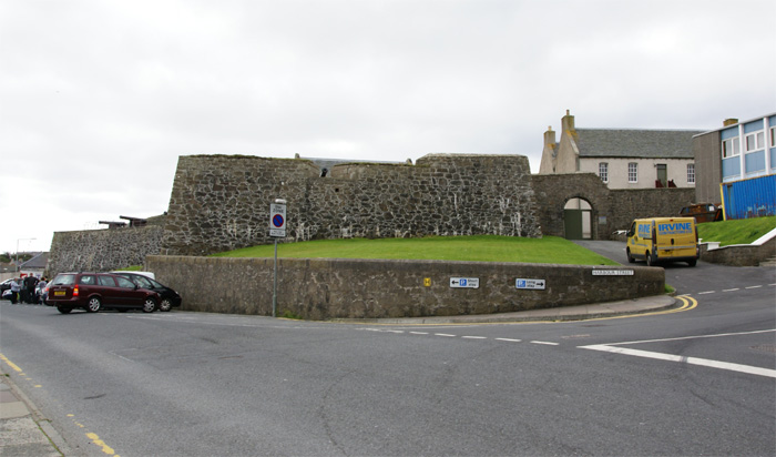
Fort Charlotte, Shetland
Fort Charlotte in the centre of Lerwick, Shetland, is an artillery fort, roughly five sided, with bastions on each of three landward corners, and half...
Nearby Amenities
Located within 500m of 60.174578,-1.1547185Have you been to Point of Scattland?
Leave your review of Point of Scattland below (or comments, questions and feedback).