Pund Skerry
Coastal Feature, Headland, Point in Shetland
Scotland
Pund Skerry

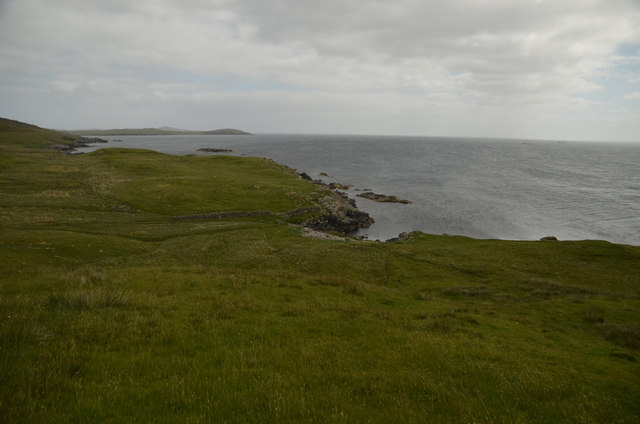
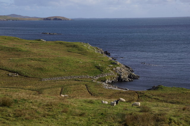
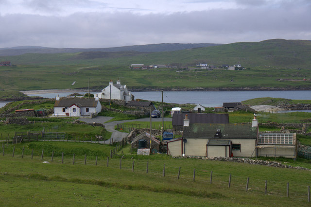
Pund Skerry is a prominent coastal feature located in the Shetland Islands, an archipelago in Scotland. It is primarily known for being a headland and a point, jutting out into the North Sea. The name "Pund Skerry" is derived from the Old Norse language and translates to "puffin rock," which aptly describes the abundance of puffins that inhabit the area.
Situated on the west coast of Shetland, Pund Skerry showcases stunning cliffs that rise dramatically from the sea, reaching heights of approximately 150 feet (46 meters). These cliffs are composed of sandstone and conglomerate rock, showcasing unique geological formations that have been sculpted by centuries of erosion from wind and waves.
Pund Skerry is a popular destination for birdwatchers and wildlife enthusiasts, thanks to its diverse avian population. Puffins, with their distinctive colorful beaks and comical flight patterns, are the main attraction. Visitors can observe these charismatic seabirds nesting in the cliffs during the breeding season, which typically occurs from April to August. Alongside puffins, other seabirds such as guillemots, razorbills, and fulmars can also be spotted in the vicinity.
Access to Pund Skerry is primarily by boat, as the headland is not easily reachable by land. However, there are several boat tours and excursions available from nearby towns such as Lerwick, allowing visitors to enjoy the breathtaking beauty and wildlife that Pund Skerry has to offer.
If you have any feedback on the listing, please let us know in the comments section below.
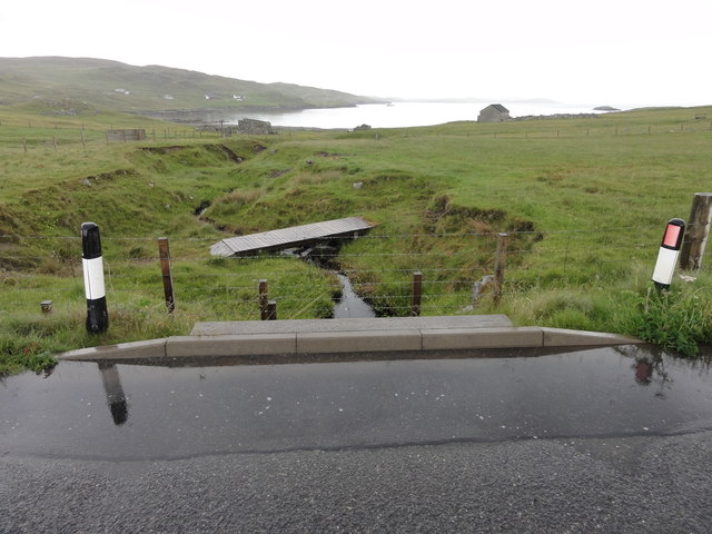
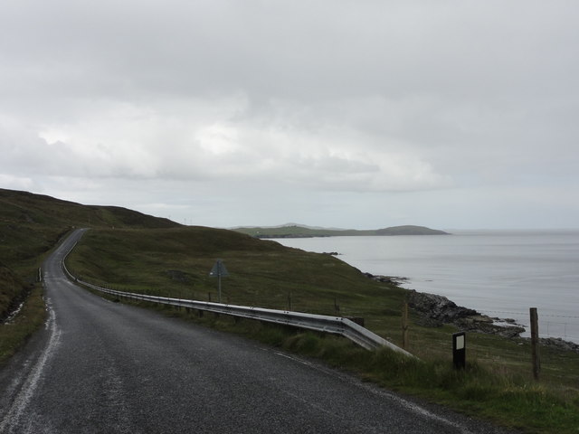
Pund Skerry Images
Images are sourced within 2km of 60.280055/-1.1587437 or Grid Reference HU4655. Thanks to Geograph Open Source API. All images are credited.


Pund Skerry is located at Grid Ref: HU4655 (Lat: 60.280055, Lng: -1.1587437)
Unitary Authority: Shetland Islands
Police Authority: Highlands and Islands
What 3 Words
///dolly.earl.cake. Near Vidlin, Shetland Islands
Nearby Locations
Related Wikis

RAF Catfirth
RAF Catfirth was a First World War seaplane base located on the island of Mainland in the Shetland Islands, Scotland. The base was under the control of...

Freester
Freester is a settlement on Mainland, Shetland, Scotland. It is in the parish of Nesting. == References == == External links == Canmore - Hard Knowe site...

Brettabister
Brettabister is a settlement on the island of Mainland in Shetland, Scotland. It is in the parish of Nesting. St. Ola's parish church lies to the east...
Nesting, Shetland
Nesting is a parish in the Shetland Islands, Scotland. It includes a part of the east Shetland Mainland, measuring about twelve by four miles (19 by 6...
Geopark Shetland
Geopark Shetland is the name used by the Geopark formally established in September 2009 on its entry into the European Geoparks Network. The Geopark extends...

North Isle of Gletness
The North Isle of Gletness is one of the Shetland Islands. It is east of the Shetland Mainland, near Gletness in Nesting parish, and is so called in contradistinction...
Viking Wind Farm
Viking Wind Farm is a large on-shore wind farm under construction in the Shetland Islands which is being developed by Viking Energy, a partnership between...

Billister
Billister is a settlement in the parish of Nesting, on the island of Mainland, in Shetland, Scotland. It is on Lax Firth. Billister was formerly the terminal...
Nearby Amenities
Located within 500m of 60.280055,-1.1587437Have you been to Pund Skerry?
Leave your review of Pund Skerry below (or comments, questions and feedback).