Boadi Geo

Coastal Feature, Headland, Point in Shetland

Scotland

Boadi Geo

West Yell: Ness of Sound A small (almost) island attached to Yell by an isthmus. In the background is Ronas Hill, on the mainland of Shetland.
West Yell: Ness of Sound Credit: Chris Downer

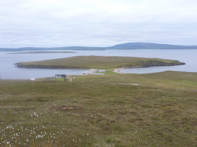
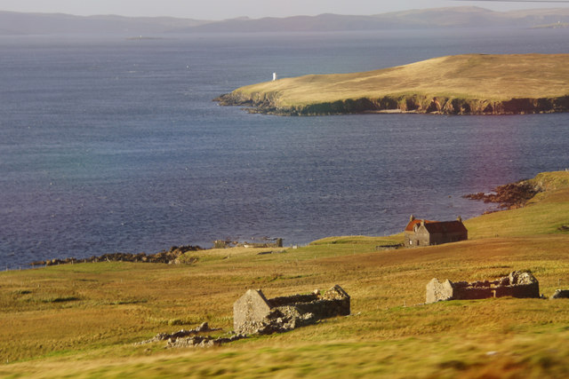
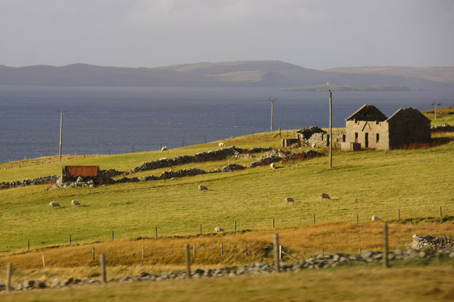
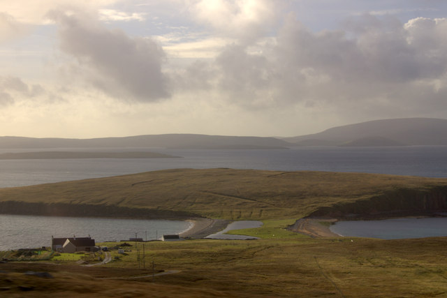
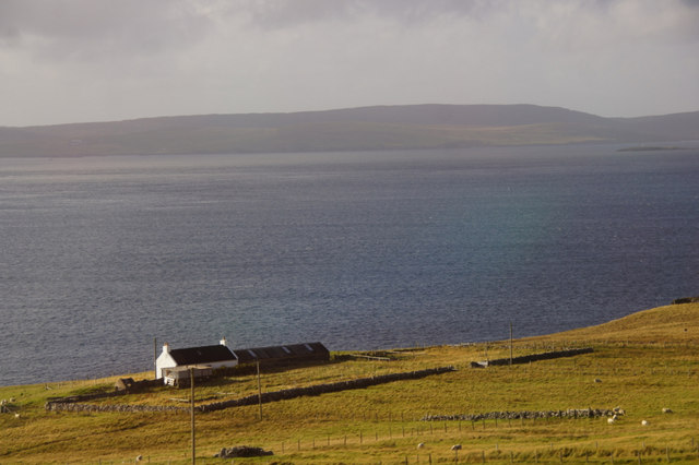
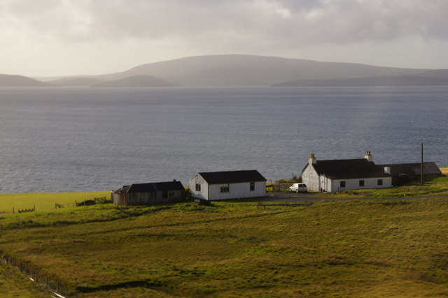
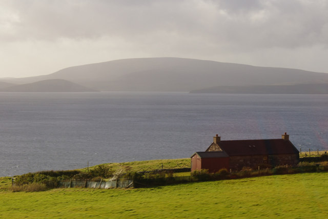
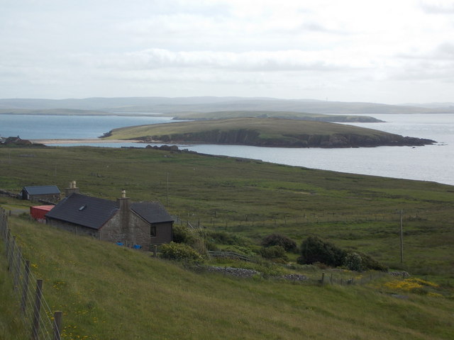
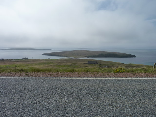
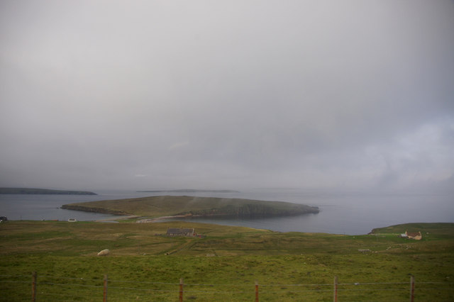
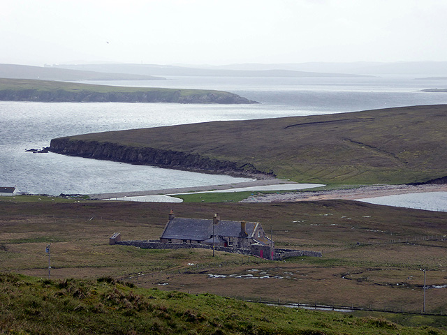
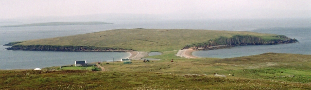
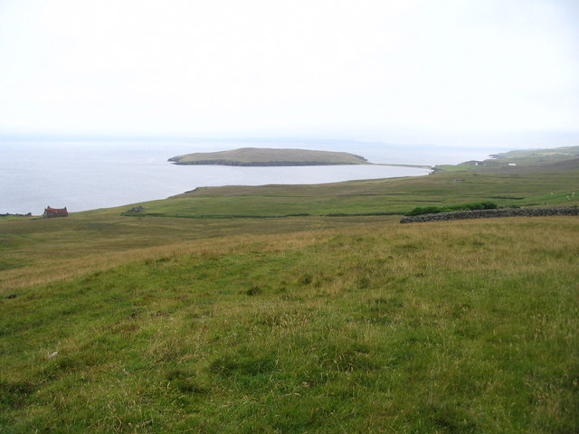
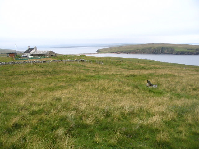
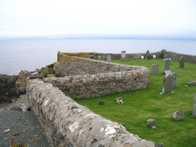
Boadi Geo is a stunning coastal feature located in Shetland, Scotland. It is a headland that juts out into the North Sea, forming a prominent point along the rugged coastline. Boadi Geo is known for its dramatic cliffs, which provide breathtaking views of the surrounding landscape.

The headland is composed of layers of sedimentary rock, displaying a variety of colors and textures. The cliffs rise steeply from the sea, reaching heights of up to 100 meters in some areas. The exposed rock formations showcase the geological history of the region and are of great interest to geologists and nature enthusiasts alike.

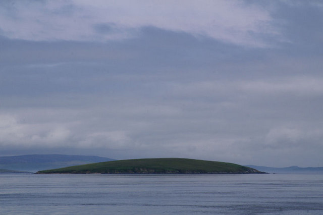
Boadi Geo is home to a diverse range of wildlife. The surrounding waters are teeming with marine life, including seals, dolphins, and various species of seabirds. The cliffs provide nesting sites for seabird colonies, such as puffins and guillemots, which can be observed during the nesting season.

Access to Boadi Geo is relatively easy, with a well-maintained path leading to the headland. Visitors can enjoy a leisurely walk along the coastline, taking in the breathtaking views and listening to the sounds of the crashing waves. It is a popular spot for photography, offering endless opportunities to capture the beauty of the landscape.

Boadi Geo is a must-visit destination for nature lovers and outdoor enthusiasts. Its rugged beauty, diverse wildlife, and geological significance make it a truly remarkable coastal feature in Shetland.

If you have any feedback on the listing, please let us know in the comments section below.

Boadi Geo Images

Images are sourced within 2km of 60.529175/-1.1788201 or Grid Reference HU4583. Thanks to Geograph Open Source API. All images are credited.

West Yell: Ness of Sound A small (almost) island attached to Yell by an isthmus. In the background is Ronas Hill, on the mainland of Shetland.
West Yell: Ness of Sound
A small (almost) island attached to Yell by an isthmus. In the background is Ronas Hill, on the mainland of Shetland.
West Yell: postbox № ZE2 39 A small postbox, a modern replacement for the old box still in its pillar a little beyond (see <a href="https://www.geograph.org.uk/photo/2632485">HU4582 : West Yell: disused postbox</a> for a close-up). Its collection time, daily except Sunday, is 10:15am.
West Yell: postbox № ZE2 39
A small postbox, a modern replacement for the old box still in its pillar a little beyond (see HU4582 : West Yell: disused postbox for a close-up). Its collection time, daily except Sunday, is 10:15am.
West Yell: disused postbox A George V-reign postbox, long disused and situated a couple of yards from its modern replacement (see <a href="https://www.geograph.org.uk/photo/2632479">HU4582 : West Yell: postbox № ZE2 39</a>). An Ordnance Survey benchmark is etched into the stone pillar.
West Yell: disused postbox
A George V-reign postbox, long disused and situated a couple of yards from its modern replacement (see HU4582 : West Yell: postbox № ZE2 39). An Ordnance Survey benchmark is etched into the stone pillar.
Ruins at Clothan, West Yell The Ness of Sound is in the background, and North Mainland is beyond that.
Ruins at Clothan, West Yell
The Ness of Sound is in the background, and North Mainland is beyond that.
Ruin at North-the-burn, Setter, West Yell
Ness of Sound, West Yell
House at Sound, West Yell Overlooking Yell Sound.
House at Sound, West Yell
Overlooking Yell Sound.
Kirkhouse, West Yell Ronas Hill is in the background.
Kirkhouse, West Yell
Ronas Hill is in the background.
Everhoull, West Yell Ronas Hill in the background across Yell Sound.
Everhoull, West Yell
Ronas Hill in the background across Yell Sound.
West Yell: a house with a view A small house alongside the A968, with fine views across Ness of Sound, the headland that is connected to Yell by an isthmus. Uynarey is the island behind it.
West Yell: a house with a view
A small house alongside the A968, with fine views across Ness of Sound, the headland that is connected to Yell by an isthmus. Uynarey is the island behind it.
Fence and pens, Everhoull A strip has been left between fields to allow the sheep onto and off the moorland.
Fence and pens, Everhoull
A strip has been left between fields to allow the sheep onto and off the moorland.
Road near West Yell With Ness of Sound and farther away the island of Uynarey.
Road near West Yell
With Ness of Sound and farther away the island of Uynarey.
Ness of Sound, West Yell A haar in Yell Sound obscures north Mainland.
Ness of Sound, West Yell
A haar in Yell Sound obscures north Mainland.
West Yell School House The Ness of Sound isthmus is in the centre of the view.
West Yell School House
The Ness of Sound isthmus is in the centre of the view.
Ness of Sound The Ness of Sound is linked to Yell by a tombolo - a double beach - formed when sand is washed in from both ends of a strait.
Ness of Sound
The Ness of Sound is linked to Yell by a tombolo - a double beach - formed when sand is washed in from both ends of a strait.
West coast of Yell towards Taing of Setter The Ness of Sound and ayre are visible in the distance across South Wick of Sound.
West coast of Yell towards Taing of Setter
The Ness of Sound and ayre are visible in the distance across South Wick of Sound.
House at Sound, West Yell Ness of Sound and ayre visible across North Wick of Sound.
House at Sound, West Yell
Ness of Sound and ayre visible across North Wick of Sound.
West Yell cemetery The cemetery is located on a small headland that (just!) projects into this square.
West Yell cemetery
The cemetery is located on a small headland that (just!) projects into this square.
Show me another place!

Boadi Geo is located at Grid Ref: HU4583 (Lat: 60.529175, Lng: -1.1788201)

Unitary Authority: Shetland Islands

Police Authority: Highlands and Islands

What 3 Words

///archduke.widget.chuckling. Near Ulsta, Shetland Islands

Related Wikis

Uynarey

Uynarey is one of the Shetland islands in Yell Sound, just to the north of Bigga, and east of Brother Island. It is an RSPB reserve. The name comes from...

Ulsta

Ulsta is a village in the south-west of the island of Yell, Shetland, Scotland. North Ness Hall is the local community facility. The car ferry to Toft...

Brother Isle

Brother Isle (Old Norse: breiðare øy meaning broad beach island) is a small, uninhabited island in Shetland, Scotland. It lies between the islands of Yell...

Bigga, Shetland

Bigga is an uninhabited island in the Yell Sound between the Mainland and Yell in Shetland, Scotland. == Geography and geology == Just over 1,000 metres...

Nearby Amenities

Located within 500m of 60.529175,-1.1788201
Passing Place
Lat/Long: 60.5284231/-1.1707118
Power: pole
Lat/Long: 60.5284399/-1.1743842
Power: pole
Lat/Long: 60.5290838/-1.1748429
Power: pole
Lat/Long: 60.5305789/-1.1750548
Power: pole
Lat/Long: 60.5312057/-1.175146
Power: pole
Lat/Long: 60.531843/-1.1752264
Power: pole
Lat/Long: 60.5324341/-1.1753284
Power: pole
Lat/Long: 60.5295106/-1.1752848
West Yell
Place: hamlet
Lat/Long: 60.5318055/-1.174665
Power: pole
Lat/Long: 60.5261264/-1.1726838
Power: pole
Lat/Long: 60.5301256/-1.1755672
Power: pole
Lat/Long: 60.5289982/-1.1718463
Power: pole
Lat/Long: 60.528696/-1.1732153
Power: pole
Lat/Long: 60.52604/-1.1736215
The data included in this document is from www.openstreetmap.org. The data is made available under ODbL.

Have you been to Boadi Geo?

Leave your review of Boadi Geo below (or comments, questions and feedback).