Runties Geo

Coastal Feature, Headland, Point in Shetland

Scotland

Runties Geo

Aith, Cunningsburgh, from the air
Aith, Cunningsburgh, from the air Credit: Mike Pennington

Runties Geo is a prominent coastal feature located on the Shetland Islands, an archipelago in the North Sea, northeast of mainland Scotland. Specifically, it is situated on the island of Unst, which is the northernmost inhabited island in the United Kingdom.

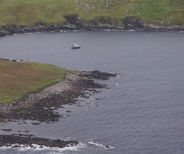
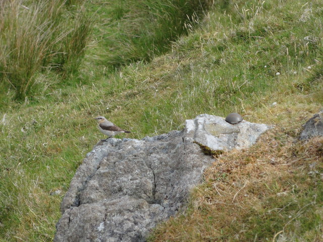
Runties Geo is classified as a headland, which is a narrow strip of land that juts out into the sea. It is also referred to as a point, as it marks the end of a larger landmass and serves as a distinctive geographic landmark. The headland is characterized by steep cliffs that rise dramatically from the surrounding sea, forming a visually striking and picturesque landscape.

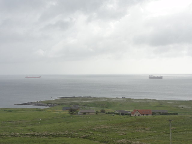
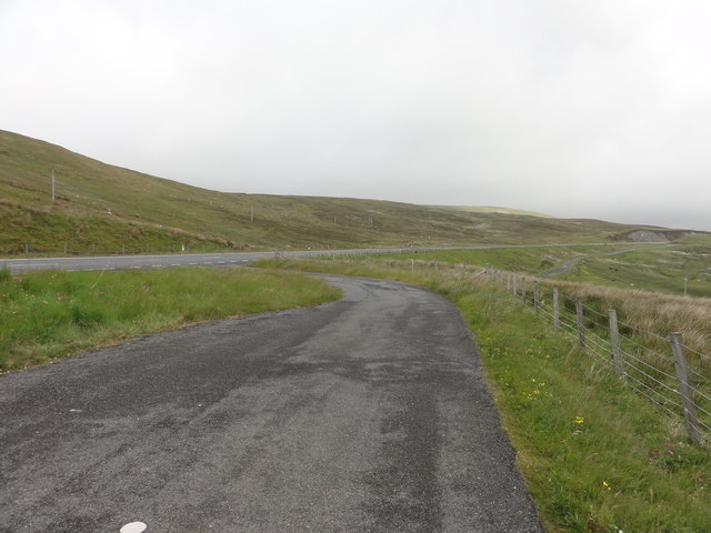
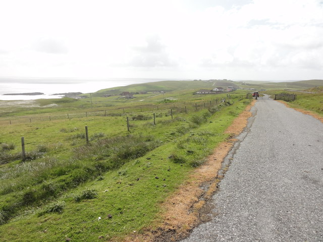
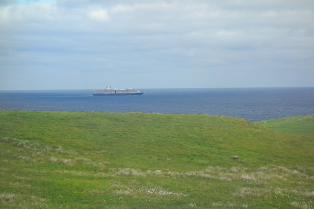
The area surrounding Runties Geo is rich in natural beauty, featuring breathtaking views of the North Sea and the rugged coastline. The headland provides an ideal vantage point for observing the diverse marine life that inhabits the surrounding waters, including seals, seabirds, and occasional sightings of dolphins or whales.

Runties Geo is a popular destination for outdoor enthusiasts and nature lovers, who come to explore the stunning coastal scenery and indulge in activities such as hiking, birdwatching, and photography. Its unique geological formations and diverse ecosystems make it an important site for scientific research and conservation efforts.

In conclusion, Runties Geo is a captivating headland and coastal feature situated on the Shetland Islands. With its dramatic cliffs, stunning views, and abundant wildlife, it offers a remarkable experience for visitors and contributes to the natural beauty and ecological significance of the region.

If you have any feedback on the listing, please let us know in the comments section below.
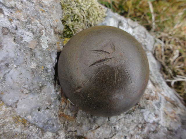
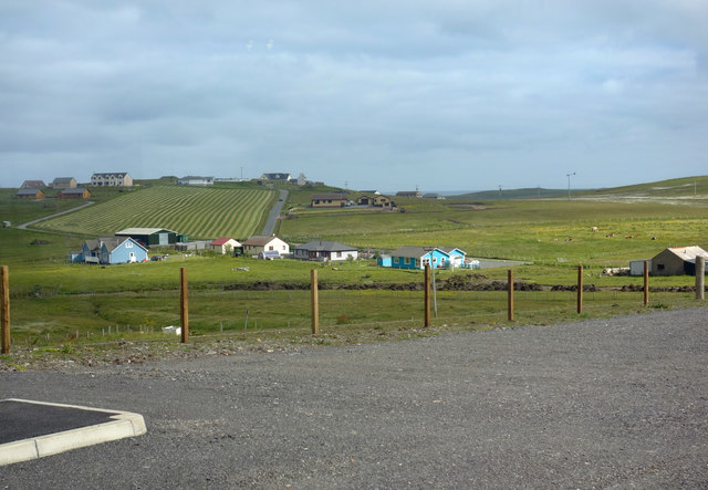
Runties Geo Images

Images are sourced within 2km of 60.060442/-1.2069784 or Grid Reference HU4430. Thanks to Geograph Open Source API. All images are credited.

Aith, Cunningsburgh, from the air
Aithsetter, Cunningsburgh, from the air
Ukinsetter, Fladdabister, from the air
Bay of Fladdabister from the air
A970 at Cunningsburgh Cunningsburgh, formerly also known as Coningsburgh (from the Old Norse: Konungsborgr meaning "King's castle"), is a hamlet on the coast of Mainland Shetland, nine miles south-west of Lerwick, about halfway between there and Sumburgh Head.
A970 at Cunningsburgh
Cunningsburgh, formerly also known as Coningsburgh (from the Old Norse: Konungsborgr meaning "King's castle"), is a hamlet on the coast of Mainland Shetland, nine miles south-west of Lerwick, about halfway between there and Sumburgh Head.
Burn Of Aith Broch This mound has been identified as the remains of a broch. <span class="nowrap"><a title="https://canmore.org.uk/site/939/burn-of-aith" rel="nofollow ugc noopener" href="https://canmore.org.uk/site/939/burn-of-aith">Link</a><img style="margin-left:2px;" alt="External link" title="External link - shift click to open in new window" src="https://s1.geograph.org.uk/img/external.png" width="10" height="10"/></span>
Burn Of Aith Broch
This mound has been identified as the remains of a broch. LinkExternal link
View across pasture towards Cunningsburgh marina and beyond The stretch of water is Aith Voe
View across pasture towards Cunningsburgh marina and beyond
The stretch of water is Aith Voe
Pasture, and the head of Aith Voe at high tide, Cunningsburgh
Building haystacks, Gord
Beach at the head of Aith Voe
Aith Voe Looking north from the marina.
Aith Voe
Looking north from the marina.
Bay of Fladdabister Bay of Fladdabister with cargo ships passing the coastline
Bay of Fladdabister
Bay of Fladdabister with cargo ships passing the coastline
A970 Road A970 road with a lay-by formed out of the old single lane road.
A970 Road
A970 road with a lay-by formed out of the old single lane road.
Abandoned road near Fladdabister Old road no longer used near Fladdabister
Abandoned road near Fladdabister
Old road no longer used near Fladdabister
New OSBM Bolt Ordnance Survey benchmark bolt, described as: NEW OSBM BOLT ROCK 12.3M NE SIDE RD 5.1M SE C STR (67.718m above Lerwick datum, 2nd order, new 1978).
New OSBM Bolt
Ordnance Survey benchmark bolt, described as: NEW OSBM BOLT ROCK 12.3M NE SIDE RD 5.1M SE C STR (67.718m above Lerwick datum, 2nd order, new 1978).
View towards Aithsetter View from the car park of a new farm and coffee shop which has recently opened beside the main road.
View towards Aithsetter
View from the car park of a new farm and coffee shop which has recently opened beside the main road.
View out to sea A cruise ship heads south. If it's the one that the coach party we met at Jarlshof were rushing back to catch, then it's off to the Isle of Skye.
This view is from the back window of a new farm shop that has opened here.
View out to sea
A cruise ship heads south. If it's the one that the coach party we met at Jarlshof were rushing back to catch, then it's off to the Isle of Skye. This view is from the back window of a new farm shop that has opened here.
Show me another place!

Runties Geo is located at Grid Ref: HU4430 (Lat: 60.060442, Lng: -1.2069784)

Unitary Authority: Shetland Islands

Police Authority: Highlands and Islands

What 3 Words

///allowable.tunes.mugs. Near Sandwick, Shetland Islands

Related Wikis

Aithsetter

Aithsetter (Old Norse: EiĆ°seti, meaning "the farm at the isthmus") is a village on the island of Mainland, in Shetland, Scotland. Aithsetter is in the...

Cunningsburgh

Cunningsburgh, formerly also known as Coningsburgh (Old Norse: Konungsborgr meaning "King's castle"), is a new hamlet and ancient parish in the south of...

Bremirehoull

Bremirehoull is a settlement on the island of Mainland, in Shetland, Scotland. Bremirehoull is situated on the A970 in the Cunningsburgh area. == References... ==

Mail, Shetland

Mail is a hamlet on the island of Mainland, in the Shetland Islands, Scotland. == Geography == Mail is located on the south-eastern side of the island...

Nearby Amenities

Located within 500m of 60.060442,-1.2069784
Aithsetter
Old Name: Eioseti
Place: village
Wikidata: Q2816648
Wikipedia: en:Aithsetter
Lat/Long: 60.057043/-1.2095028
Power: pole
Lat/Long: 60.0560695/-1.2085153
Power: pole
Lat/Long: 60.0569423/-1.209795
Power: pole
Lat/Long: 60.0571256/-1.210883
Power: pole
Lat/Long: 60.057189/-1.2118971
Power: pole
Lat/Long: 60.0572536/-1.2129735
The data included in this document is from www.openstreetmap.org. The data is made available under ODbL.

Have you been to Runties Geo?

Leave your review of Runties Geo below (or comments, questions and feedback).