Lower Dounreay
Settlement in Caithness
Scotland
Lower Dounreay

The requested URL returned error: 429 Too Many Requests
If you have any feedback on the listing, please let us know in the comments section below.
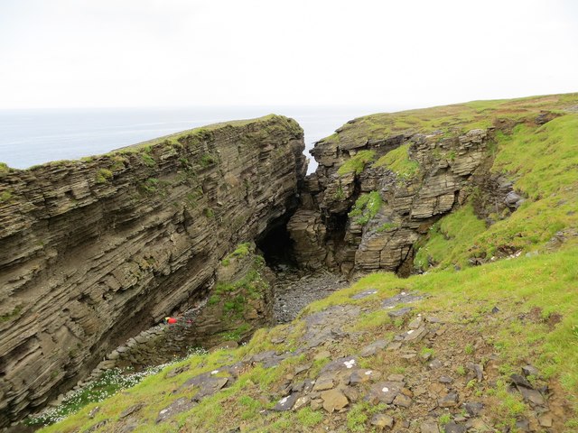
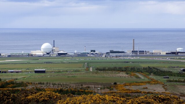
Lower Dounreay Images
Images are sourced within 2km of 58.579597/-3.746091 or Grid Reference NC9867. Thanks to Geograph Open Source API. All images are credited.


Lower Dounreay is located at Grid Ref: NC9867 (Lat: 58.579597, Lng: -3.746091)
Unitary Authority: Highland
Police Authority: Highlands and Islands
What 3 Words
///impresses.flocking.inherit. Near Reay, Highland
Nearby Locations
Related Wikis

Dounreay
Dounreay (; Scottish Gaelic: Dùnrath) is a small settlement and the site of two large nuclear establishments on the north coast of Caithness in the Highland...

Dounreay Castle
Dounreay Castle is a ruined 16th-century L-plan castle, about 8 miles (13 km) west of Thurso, Highland (council area), Scotland, within the grounds of...
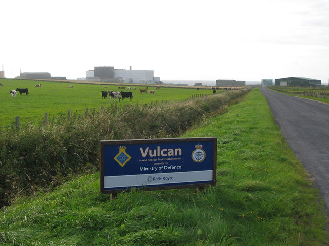
Vulcan Naval Reactor Test Establishment
Vulcan Naval Reactor Test Establishment (NRTE), formerly HMS Vulcan, is a UK Ministry of Defence (MoD) establishment in Scotland, operated by Rolls-Royce...
RAF Dounreay
RAF Dounreay was built for RAF Coastal Command in 1944, but not used by them. It was transferred to the Royal Navy as HMS Tern II, but not commissioned...
Nearby Amenities
Located within 500m of 58.579597,-3.746091Have you been to Lower Dounreay?
Leave your review of Lower Dounreay below (or comments, questions and feedback).