Blue Geo
Coastal Feature, Headland, Point in Shetland
Scotland
Blue Geo
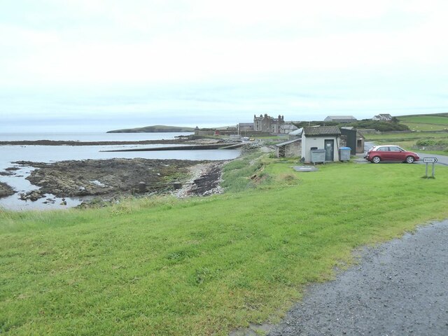
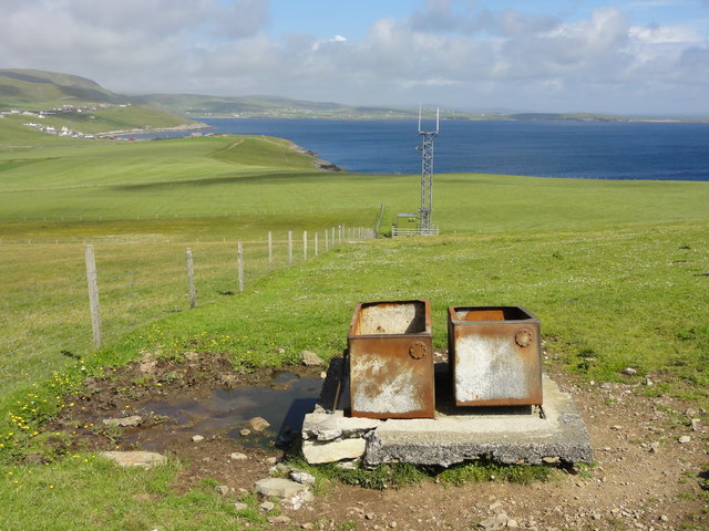
Blue Geo is a prominent coastal feature located in the Shetland Islands, Scotland. It is classified as a headland or point, jutting out into the North Sea. The name "Blue Geo" comes from the deep blue color of the surrounding waters.
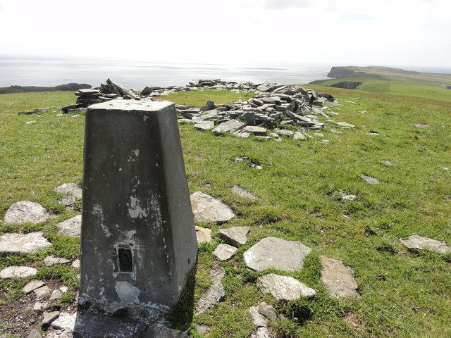
This coastal feature is characterized by its rugged cliffs, which rise vertically from the sea, offering stunning panoramic views of the surrounding landscape. The cliffs are composed of layers of sedimentary rock, displaying a variety of colors and textures. The geological formation of Blue Geo is believed to be a result of erosion by the sea over millions of years.
The area around Blue Geo is abundant in marine life, making it a popular spot for wildlife enthusiasts and birdwatchers. Seals, dolphins, and various species of seabirds can often be observed from the cliffs. The waters surrounding Blue Geo are also known for their rich fishing grounds, attracting both commercial and recreational fishermen.
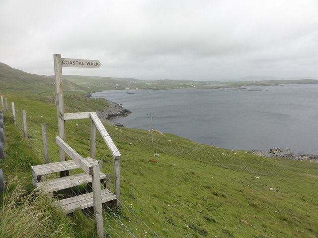
Access to Blue Geo is relatively easy, with a footpath leading from the nearest road down to the headland. However, caution is advised when exploring the cliffs, as they can be unstable and slippery, especially during wet weather.
Overall, Blue Geo is a breathtaking coastal feature that showcases the raw beauty of the Shetland Islands. Its dramatic cliffs, vibrant marine life, and stunning views make it a must-visit destination for nature lovers and outdoor enthusiasts.
If you have any feedback on the listing, please let us know in the comments section below.
Blue Geo Images
Images are sourced within 2km of 60.004236/-1.2153528 or Grid Reference HU4324. Thanks to Geograph Open Source API. All images are credited.


Blue Geo is located at Grid Ref: HU4324 (Lat: 60.004236, Lng: -1.2153528)
Unitary Authority: Shetland Islands
Police Authority: Highlands and Islands
What 3 Words
///blissful.ruler.bedding. Near Sandwick, Shetland Islands
Nearby Locations
Related Wikis

Sandwick, Dunrossness
see also Sandwick, Whalsay and Sandwick, OrkneySandwick (Old Norse: Sandvik "Sandy Bay") is a village and an ancient parish in the Shetland Islands, Scotland...

Broch of Mousa
Broch of Mousa (or Mousa Broch) is a preserved Iron Age broch or round tower. It is on the island of Mousa in Shetland, Scotland. It is the tallest broch...

Hoswick
Hoswick is a settlement in Sandwick in the south mainland of Shetland, Scotland, on the eastern part of the Dunrossness civil parish. It is separated from...

Mousa
Mousa (Old Norse: Mosey "moss island") is a small island in Shetland, Scotland, uninhabited since the nineteenth century. The island is known for the...

Catpund
Catpund is a quarry site in Shetland, Scotland, where steatite vessels were cut from the rock from prehistory onwards. The quarrying marks are still visible...

Peerie Bard
Perie Bard is one of the Shetland Islands. It is a small islet off the east coast of the island of Mousa.Although named 'Perie Bard' on OS Maps, the name...

Mail, Shetland
Mail is a hamlet on the island of Mainland, in the Shetland Islands, Scotland. == Geography == Mail is located on the south-eastern side of the island...

Levenwick
Levenwick is a small village about 17 miles (27 km) south of Lerwick, on the east side of the South Mainland of Shetland, Scotland. It is part of the parish...
Nearby Amenities
Located within 500m of 60.004236,-1.2153528Have you been to Blue Geo?
Leave your review of Blue Geo below (or comments, questions and feedback).