Ditchford on Fosse

Settlement in Gloucestershire Cotswold

England

Ditchford on Fosse

Long lay-by on the A429
Long lay-by on the A429 Credit: Philip Jeffrey

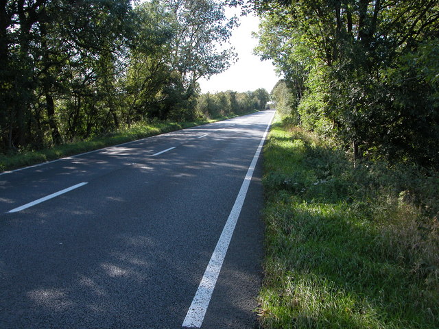
Ditchford on Fosse is a small village located in the county of Gloucestershire, England. Situated on the Fosse Way, an ancient Roman road, the village is surrounded by picturesque countryside and is known for its tranquil and rural setting.

The village itself is quite small, with a population of around 200 residents. It features a collection of historic cottages and houses, some of which date back several centuries, giving the village a charming and traditional feel. The architecture of the buildings reflects the rural character of the area and adds to the village's unique charm.

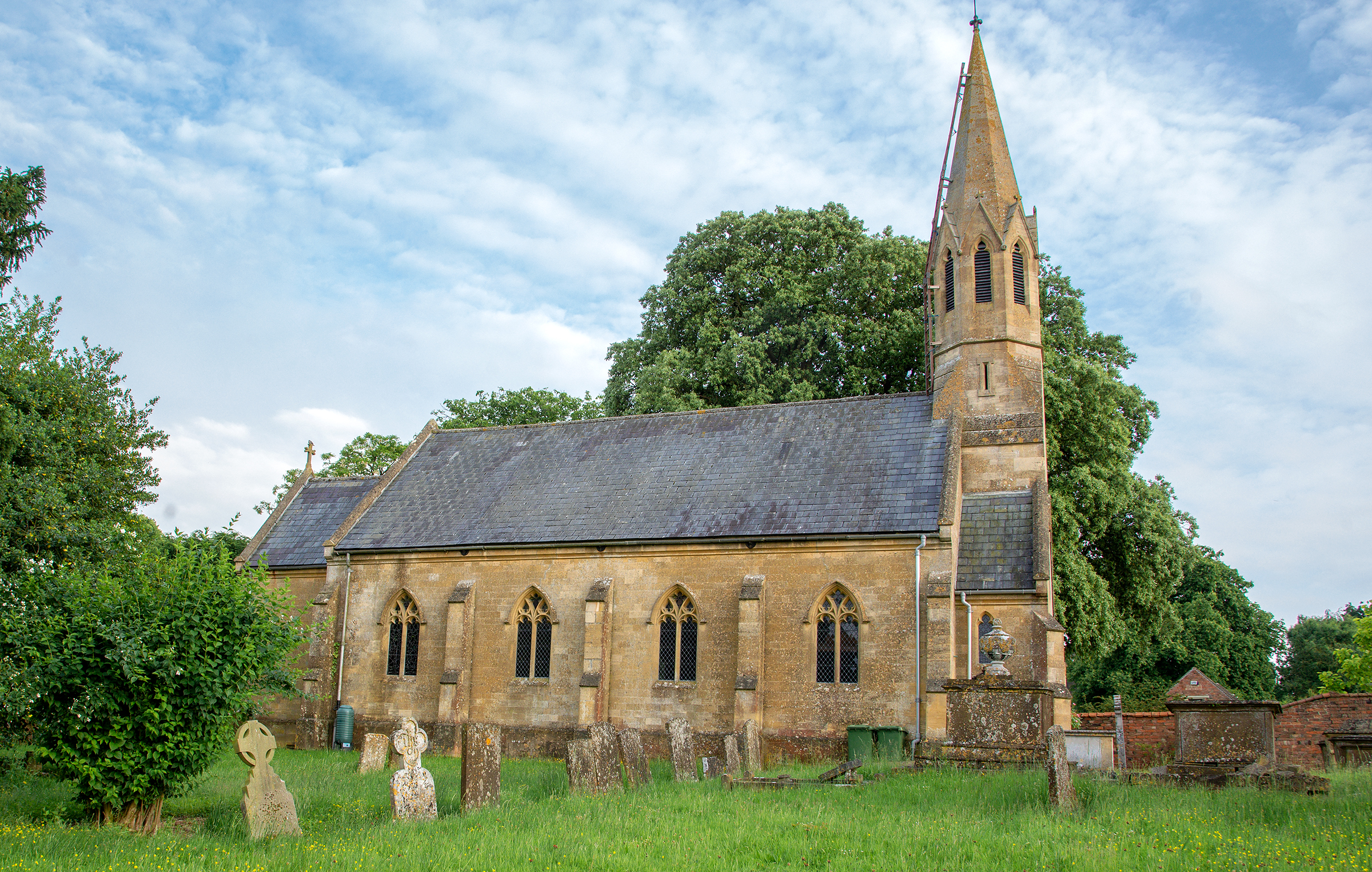
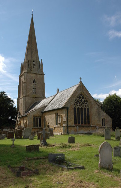
Despite its small size, Ditchford on Fosse has a strong sense of community. The village has a parish church, St. Mary's, which serves as a focal point for social and religious activities. The church holds regular services and also hosts community events throughout the year, bringing residents together.

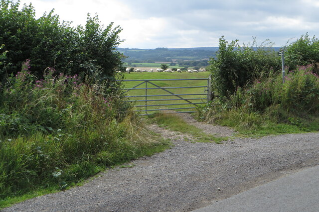
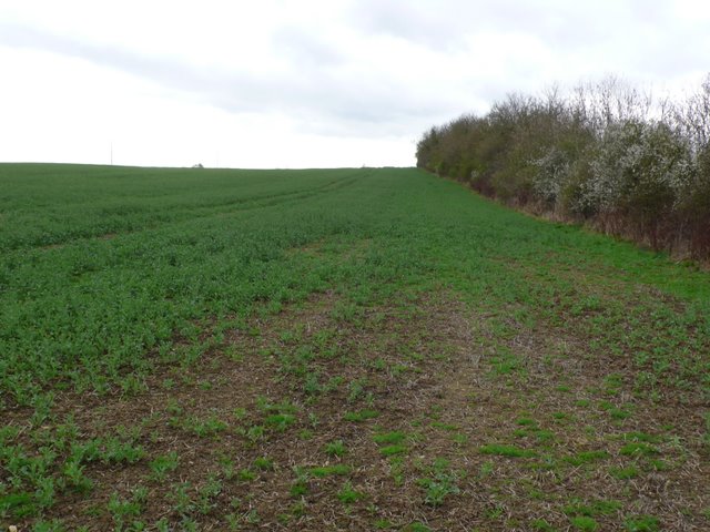
Surrounded by the beautiful Gloucestershire countryside, Ditchford on Fosse offers ample opportunities for outdoor activities. The village is located near several walking and cycling routes, allowing residents and visitors to explore the scenic surroundings. Additionally, there are several nature reserves and parks nearby, providing opportunities for wildlife spotting and enjoying nature.

Although Ditchford on Fosse may be small, it offers a peaceful and idyllic lifestyle for its residents. With its historic architecture, strong community spirit, and proximity to nature, this village in Gloucestershire provides a true escape from the hustle and bustle of city life.

If you have any feedback on the listing, please let us know in the comments section below.

Ditchford on Fosse Images

Images are sourced within 2km of 52.032/-1.6784 or Grid Reference SP2237. Thanks to Geograph Open Source API. All images are credited.

Long lay-by on the A429
Footpath to Oldborough Farm and Todenham
Footpath to Aston Magna
Trees by the stream
Trees by the stream
Rickety footbridge on the footpath towards the A429
Power lines over the stubble field
Footpath to Aston Magna
Curious sheep on the footpath into Todenham
Farmland by Ditchford Mill
Four solar panels by the footpath to Ditchford Frary
Field containing the remains of Lower Ditchford village
Track through the copse to Kneebridge barn The area behind the locked gate looked pretty derelict.
Track through the copse to Kneebridge barn
The area behind the locked gate looked pretty derelict.
Trees lining Knee Brook
Rudge and furrow Rudge and furrow in a field near Todenham,  The spire of Aston Magna church can be seen in the distance.
Rudge and furrow
Rudge and furrow in a field near Todenham, The spire of Aston Magna church can be seen in the distance.
Warwickshire/Gloucestershire  County Boundary The county boundary is where the road changes colour about 50 metres beyond the motor cyclist. The boundary is marked by the Paddle Brook which passes under the Fosse Way at that point.The motorcyclist  was speeding down the hill and braked hard when he saw me. He presumably thought I was law enforcement because of my Hi-Viz jacket. The road is dangerous due to its straightness and the high speeds that can be reached. The red sign in the middle states: HIGH RISK CRASH ROUTE.
Warwickshire/Gloucestershire County Boundary
The county boundary is where the road changes colour about 50 metres beyond the motor cyclist. The boundary is marked by the Paddle Brook which passes under the Fosse Way at that point.The motorcyclist was speeding down the hill and braked hard when he saw me. He presumably thought I was law enforcement because of my Hi-Viz jacket. The road is dangerous due to its straightness and the high speeds that can be reached. The red sign in the middle states: HIGH RISK CRASH ROUTE.
Field next to Fosse Way The Fosse Way crosses the intersection of two grid lines close to this point. This is the field to the south east with the Fosse Way just behind the hedge on the right.
Field next to Fosse Way
The Fosse Way crosses the intersection of two grid lines close to this point. This is the field to the south east with the Fosse Way just behind the hedge on the right.
Dead Tree This lifeless tree was in a field that appeared to be fallow, just north east of Stretton On The Fosse and just west of the Fosse way.
Dead Tree
This lifeless tree was in a field that appeared to be fallow, just north east of Stretton On The Fosse and just west of the Fosse way.
Road to Lower Ditchford This road leads down from the Fosse Way to the site of the former Medieval village of Lower Ditchford, now completely disappeared. The visible buildings are at Ditchford Mill farm a mainly livestock farm.
Road to Lower Ditchford
This road leads down from the Fosse Way to the site of the former Medieval village of Lower Ditchford, now completely disappeared. The visible buildings are at Ditchford Mill farm a mainly livestock farm.
Show me another place!

Ditchford on Fosse is located at Grid Ref: SP2237 (Lat: 52.032, Lng: -1.6784)

Administrative County: Gloucestershire

District: Cotswold

Police Authority: Gloucestershire

What 3 Words

///extra.distracts.scarecrow. Near Shipston on Stour, Warwickshire

Nearby Locations

Ditchford on Fosse

Related Wikis

Stretton-on-Fosse

Stretton-on-Fosse is a village in the Stratford District in Warwickshire, England. It is situated between the towns of Moreton-in-Marsh and Shipston-on...

A429 road

The A429 is a main road in England that runs in a north-northeasterly direction from junction 17 of the M4 motorway (4 miles (6.4 km) north of Chippenham...

Stretton-on-Fosse railway station

Stretton-on-Fosse railway station was a railway station which served the village of Stretton-on-Fosse, Warwickshire, England. It was located north-east...

Todenham

Todenham is a village and civil parish in the Cotswold district of Gloucestershire, England. The village is significant for its Grade I listed 14th-century...

Nearby Amenities

Located within 500m of 52.032,-1.6784
Bus Stop
Ditchford On Fosse
Bench: no
Bin: no
Bus: yes
Lit: no
Naptan AtcoCode: 1600GLC601
Naptan Bearing: S
Naptan CommonName: Ditchford On Fosse
Naptan NaptanCode: glogjpam
Naptan Street: A429
Naptan Verified: no
Public Transport: platform
Shelter: no
Source: naptan_import
Tactile Paving: no
Lat/Long: 52.0311934/-1.6785409
Bus Stop
Ditchford On Fosse
Bench: no
Bin: no
Bus: yes
Lit: no
Naptan AtcoCode: 1600GLC602
Naptan Bearing: N
Naptan CommonName: Ditchford On Fosse
Naptan NaptanCode: glogjpaj
Naptan Street: A429
Naptan Verified: no
Public Transport: platform
Shelter: no
Source: naptan_import
Tactile Paving: no
Lat/Long: 52.0314273/-1.6785975
Tourism: guest_house
Lat/Long: 52.0319979/-1.6784664
Material: wood
Power: pole
Lat/Long: 52.0286033/-1.6745567
Material: wood
Power: pole
Lat/Long: 52.029209/-1.6755619
Material: wood
Power: pole
Lat/Long: 52.0298097/-1.6765644
Material: wood
Power: pole
Lat/Long: 52.0304077/-1.6775635
Material: wood
Power: pole
Lat/Long: 52.03099/-1.6785391
Material: wood
Power: pole
Lat/Long: 52.0311517/-1.6788271
Ditchford On Fosse
Material: wood
Power: pole
Transformer: distribution
Voltage Primary: 11000
Lat/Long: 52.0317445/-1.6791534
Material: wood
Power: pole
Lat/Long: 52.0312507/-1.6795778
Ditchford Hill
Material: wood
Power: pole
Transformer: distribution
Voltage Primary: 11000
Lat/Long: 52.0298237/-1.6821615
Material: wood
Power: pole
Lat/Long: 52.0302936/-1.6818202
Material: wood
Power: pole
Lat/Long: 52.0308559/-1.6814177
Material: wood
Power: pole
Lat/Long: 52.0314326/-1.6810048
Material: wood
Power: pole
Lat/Long: 52.0315766/-1.6821682
Material: wood
Power: pole
Lat/Long: 52.0320081/-1.6855873
Material: wood
Power: pole
Lat/Long: 52.0317239/-1.6833289
Material: wood
Power: pole
Lat/Long: 52.0318641/-1.6844574
The data included in this document is from www.openstreetmap.org. The data is made available under ODbL.

Have you been to Ditchford on Fosse?

Leave your review of Ditchford on Fosse below (or comments, questions and feedback).