Ditchford, Lower
Settlement in Gloucestershire Cotswold
England
Ditchford, Lower

Ditchford is a small hamlet located in the county of Gloucestershire, England. Situated in the Lower division of the county, it is nestled amidst the picturesque countryside of the Cotswolds. Ditchford is situated near the larger village of Twyning, and is approximately 5 miles southeast of the historic city of Tewkesbury.
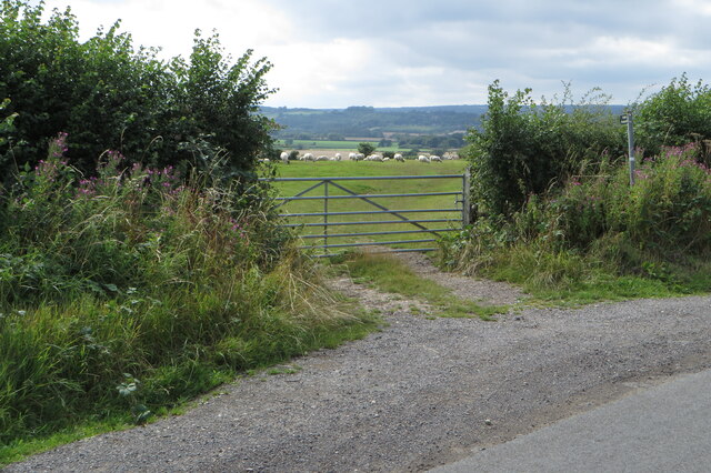
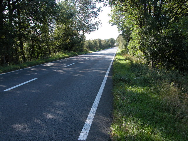
The hamlet of Ditchford is characterized by its tranquil and rural setting, with rolling green fields and charming country lanes. It is surrounded by a patchwork of farmland, where agriculture has been a predominant occupation for centuries. The River Avon flows nearby, adding to the natural beauty of the area.
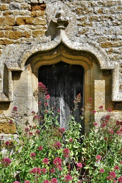
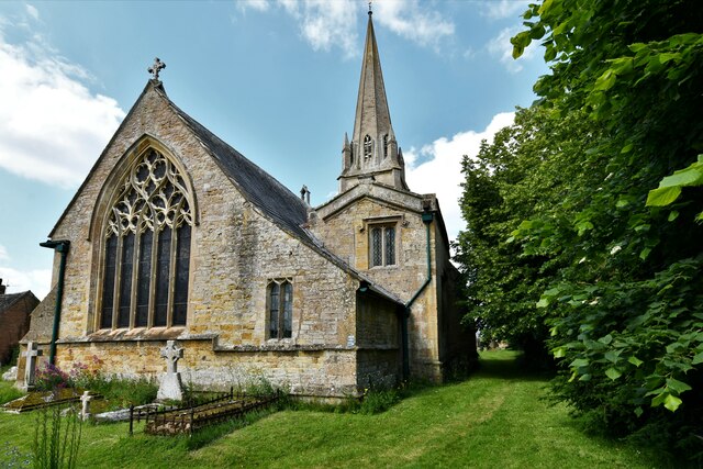
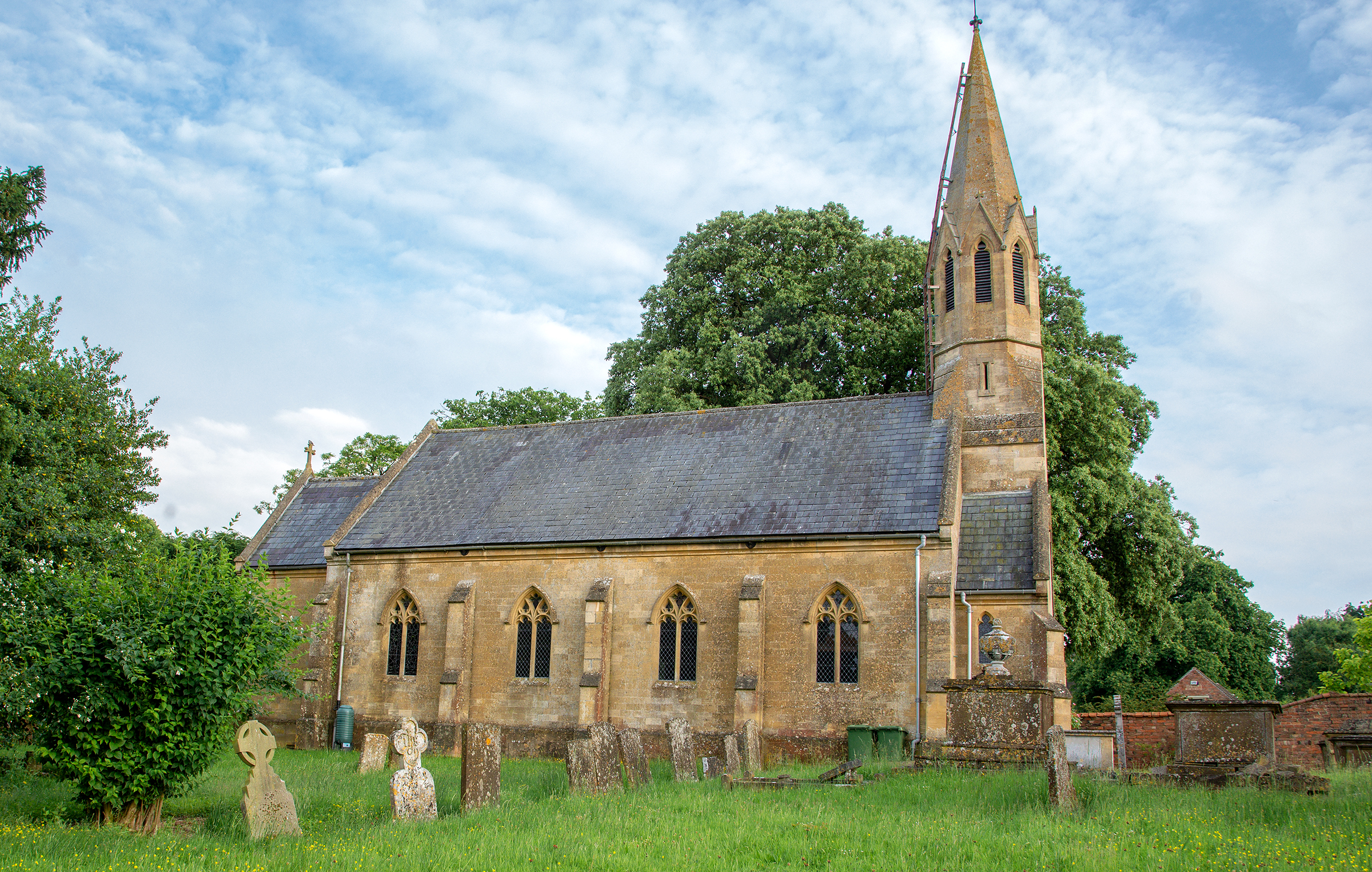
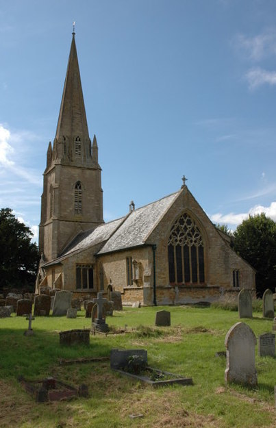
Ditchford itself is a small community, with a handful of houses scattered throughout the landscape. The architecture of the buildings in the hamlet reflects the traditional Cotswold style, with stone walls and thatched roofs, giving it a quintessentially English countryside feel.
Despite its modest size, Ditchford offers a peaceful and idyllic lifestyle for its residents. The hamlet is known for its strong sense of community, where neighbors often come together for various events and activities. The surrounding countryside provides ample opportunities for outdoor pursuits such as walking, cycling, and horse riding.
In terms of amenities, Ditchford is in close proximity to Twyning, which offers a range of services including shops, schools, and a village hall. For more extensive facilities, the nearby town of Tewkesbury provides a wider range of amenities, including supermarkets, healthcare facilities, and a variety of leisure activities.
Overall, Ditchford, Lower, Gloucestershire offers a charming and peaceful rural retreat, ideal for those seeking a slower pace of life in a stunning countryside setting.
If you have any feedback on the listing, please let us know in the comments section below.
Ditchford, Lower Images
Images are sourced within 2km of 52.0318/-1.6704 or Grid Reference SP2236. Thanks to Geograph Open Source API. All images are credited.


Ditchford, Lower is located at Grid Ref: SP2236 (Lat: 52.0318, Lng: -1.6704)
Administrative County: Gloucestershire
District: Cotswold
Police Authority: Gloucestershire
What 3 Words
///rift.forge.curve. Near Shipston on Stour, Warwickshire
Nearby Locations
Related Wikis
Stretton-on-Fosse
Stretton-on-Fosse is a village in the Stratford District in Warwickshire, England. It is situated between the towns of Moreton-in-Marsh and Shipston-on...

Stretton-on-Fosse railway station
Stretton-on-Fosse railway station was a railway station which served the village of Stretton-on-Fosse, Warwickshire, England. It was located north-east...
Todenham
Todenham is a village and civil parish in the Cotswold district of Gloucestershire, England. The village is significant for its Grade I listed 14th-century...
A429 road
The A429 is a main road in England that runs in a north-northeasterly direction from junction 17 of the M4 motorway (4 miles (6.4 km) north of Chippenham...
Nearby Amenities
Located within 500m of 52.0318,-1.6704Have you been to Ditchford, Lower?
Leave your review of Ditchford, Lower below (or comments, questions and feedback).