Blue Geo

Coastal Feature, Headland, Point in Shetland

Scotland

Blue Geo

Lay-by beside the A970 road Near Levenwick.
Lay-by beside the A970 road Credit: John Lucas

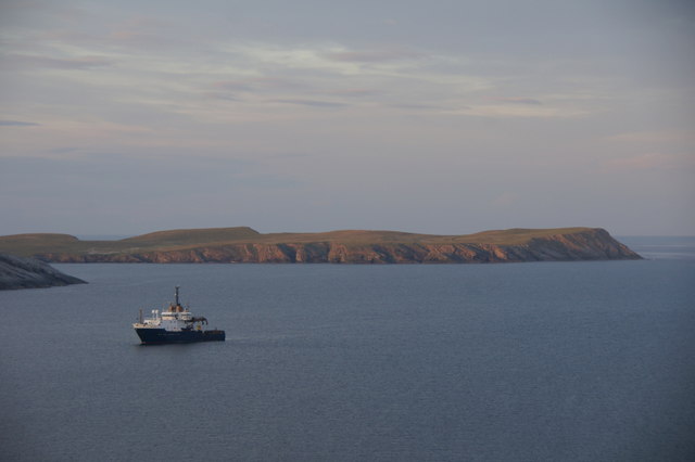
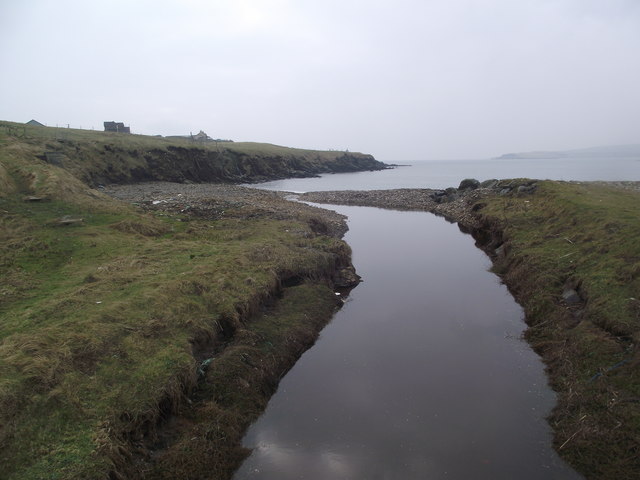
Blue Geo is a coastal feature located in the Shetland Islands, an archipelago situated in the North Atlantic Ocean, northeast of mainland Scotland. It is specifically found on the mainland, near the village of Eshaness in the northwestern part of the islands. Blue Geo is a prominent headland that juts out into the sea, forming a distinct point that offers stunning views of the surrounding landscape.

The area is characterized by its rugged and dramatic coastline, with steep cliffs that plummet down into the crashing waves of the Atlantic. Blue Geo itself is known for its unique geological formations, with layers of sedimentary rock that have been eroded by the relentless force of the sea over thousands of years. This erosion has created deep sea caves and natural arches, adding to the area's picturesque beauty.

Visitors to Blue Geo can explore the headland along a well-maintained coastal path, which offers spectacular vistas of the surrounding cliffs, caves, and the open ocean. The site is often frequented by nature enthusiasts and photographers, drawn to the area's breathtaking scenery and abundant wildlife. Seabirds, such as puffins and fulmars, can be spotted nesting along the cliffs, while seals and whales can sometimes be seen swimming in the waters below.

Blue Geo is a popular destination for outdoor activities such as hiking and birdwatching, attracting both locals and tourists alike. It is not only a visually stunning coastal feature but also a place of ecological importance, contributing to the diverse and rich natural heritage of the Shetland Islands.

If you have any feedback on the listing, please let us know in the comments section below.

Blue Geo Images

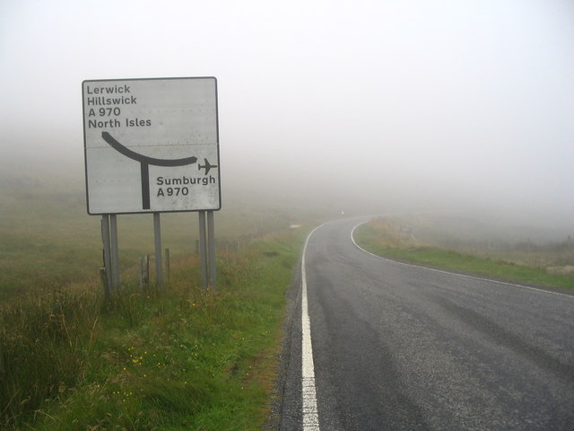
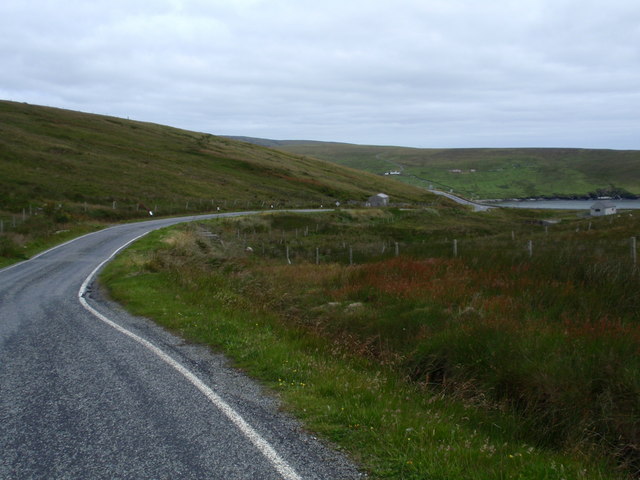
Images are sourced within 2km of 59.989391/-1.2600452 or Grid Reference HU4122. Thanks to Geograph Open Source API. All images are credited.

Lay-by beside the A970 road Near Levenwick.
Lay-by beside the A970 road
Near Levenwick.
Levenwick from the air
B9122, a Single Track Road with Passing Places The B9122 is a narrow, mostly single-track road with passing places. It provides a pleasant diversion from the A970 near Channerwick, travelling to the western (Atlantic) coast at Bigton and then Scousburgh before turning east again to rejoin the A970 at Boddam.
B9122, a Single Track Road with Passing Places
The B9122 is a narrow, mostly single-track road with passing places. It provides a pleasant diversion from the A970 near Channerwick, travelling to the western (Atlantic) coast at Bigton and then Scousburgh before turning east again to rejoin the A970 at Boddam.
B9122 near to Northpunds Volkswagen minibus (RE10 SBO) operating on the Bigton and Quendale Feeder Route (Service 7).
B9122 near to Northpunds
Volkswagen minibus (RE10 SBO) operating on the Bigton and Quendale Feeder Route (Service 7).
Road sign at junction of B9122 and A970 OK, so you can't see the junction itself - but neither could I in that weather! Apart from a small puddle, there doesn't seem to be anything else of note in this square.
Road sign at junction of B9122 and A970
OK, so you can't see the junction itself - but neither could I in that weather! Apart from a small puddle, there doesn't seem to be anything else of note in this square.
Road B9122 view northeast to Channerwick
NLV Pole Star anchored off Levenwick One of the Northern Lighthouse Board's lighthouse service vessels. Cumlewick Ness is just visible on the left, with No Ness in the background.
NLV Pole Star anchored off Levenwick
One of the Northern Lighthouse Board's lighthouse service vessels. Cumlewick Ness is just visible on the left, with No Ness in the background.
Channer Wick View from the road in to Channer Wick
Channer Wick
View from the road in to Channer Wick
The hoverfly Eupeodes corollae, Hoswick This species is a migrant in Shetland, here feeding on Hogweed (Heracleum sphondylium).
The hoverfly Eupeodes corollae, Hoswick
This species is a migrant in Shetland, here feeding on Hogweed (Heracleum sphondylium).
At the Ness of Hoswick Evening was fast approaching and the sky taking on a brownish hue.
At the Ness of Hoswick
Evening was fast approaching and the sky taking on a brownish hue.
The Berg, Ness of Hoswick The Point between Hos Wick and Channer Wick.
The Berg, Ness of Hoswick
The Point between Hos Wick and Channer Wick.
Dusk at Stove by Sandwick One house seemed to stay alive as all others sank into the darkness of the evening.  Lights were on in the rooms and the white facing reflected all the available light.
Dusk at Stove by Sandwick
One house seemed to stay alive as all others sank into the darkness of the evening. Lights were on in the rooms and the white facing reflected all the available light.
The Burn of Channerwick The burn drains a catchment about 5 kms long, north to south, with various tributaries.
The Burn of Channerwick
The burn drains a catchment about 5 kms long, north to south, with various tributaries.
Pund, Channerwick An isolated place overlooking the Burn of Channerwick.
Pund, Channerwick
An isolated place overlooking the Burn of Channerwick.
Burn of Hoswick
Burn of Hoswick
Stove, Sandwick
Stove, Sandwick
Burn of Setter at Swinister, Sandwick
Show me another place!

Blue Geo is located at Grid Ref: HU4122 (Lat: 59.989391, Lng: -1.2600452)

Unitary Authority: Shetland Islands

Police Authority: Highlands and Islands

What 3 Words

///tailors.udder.escalates. Near Sandwick, Shetland Islands

Related Wikis

Hoswick

Hoswick is a settlement in Sandwick in the south mainland of Shetland, Scotland, on the eastern part of the Dunrossness civil parish. It is separated from...

Levenwick

Levenwick is a small village about 17 miles (27 km) south of Lerwick, on the east side of the South Mainland of Shetland, Scotland. It is part of the parish...

Sandwick, Dunrossness

see also Sandwick, Whalsay and Sandwick, OrkneySandwick (Old Norse: Sandvik "Sandy Bay") is a village and an ancient parish in the Shetland Islands, Scotland...

Bigton

Bigton is a small settlement on South Mainland, Shetland, UK. Bigton is within the civil parish of Dunrossness.Bigton lies on the Atlantic coast of the...

Nearby Amenities

Located within 500m of 59.989391,-1.2600452
Generator Source: wind
Power: generator
Lat/Long: 59.9923008/-1.2604448
The data included in this document is from www.openstreetmap.org. The data is made available under ODbL.

Have you been to Blue Geo?

Leave your review of Blue Geo below (or comments, questions and feedback).