Nebba
Coastal Feature, Headland, Point in Shetland
Scotland
Nebba

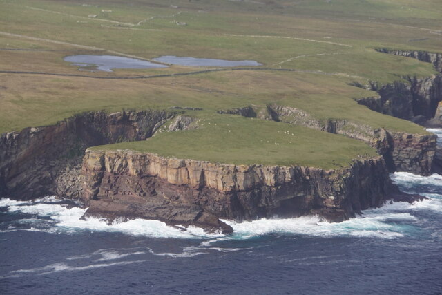
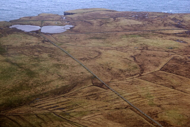
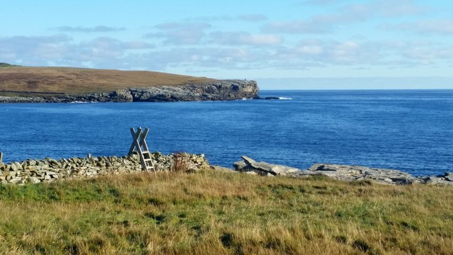
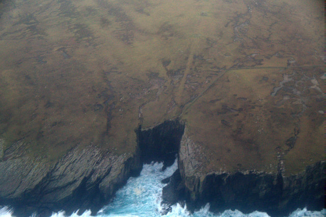
Nebba is a prominent coastal feature located in the Shetland Islands, an archipelago in Scotland. It is specifically situated on the southwestern coast of the main island, known as Mainland. Nebba is classified as a headland or point, a term used to describe a narrow piece of land that juts out into the sea.
This coastal feature is characterized by its dramatic cliffs and rugged terrain, making it a striking natural landmark in the area. The cliffs of Nebba are composed of layers of sedimentary rock, displaying various colors and textures, which have been shaped by the relentless force of the sea over millions of years.
Nebba is not only visually impressive but also serves as an important habitat for a diverse array of seabirds. Species such as puffins, fulmars, and guillemots can be found nesting on the cliffs, creating a lively and vibrant atmosphere during the breeding season.
The area surrounding Nebba is also known for its rich marine life. The strong currents and turbulent waters around the headland provide a favorable environment for numerous fish species, making it a popular spot for fishing enthusiasts.
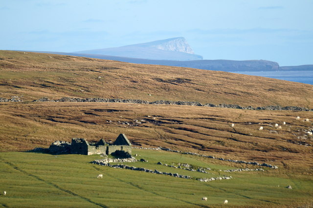
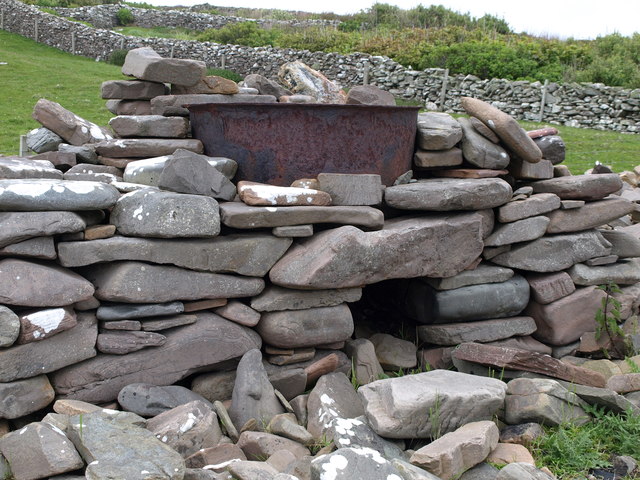
In addition to its natural beauty, Nebba holds historical significance as well. There are remnants of ancient settlements nearby, suggesting that the area has been inhabited for thousands of years. These archaeological sites provide valuable insights into the island's past and offer a glimpse into the lives of its early inhabitants.
Overall, Nebba is a captivating coastal feature in the Shetland Islands, offering both breathtaking scenery and a unique ecosystem that is sure to leave a lasting impression on visitors.
If you have any feedback on the listing, please let us know in the comments section below.
Nebba Images
Images are sourced within 2km of 59.899397/-1.2725751 or Grid Reference HU4012. Thanks to Geograph Open Source API. All images are credited.


Nebba is located at Grid Ref: HU4012 (Lat: 59.899397, Lng: -1.2725751)
Unitary Authority: Shetland Islands
Police Authority: Highlands and Islands
What 3 Words
///excavate.peroxide.down. Near Sumburgh, Shetland Islands
Nearby Locations
Related Wikis

Exnaboe
Exnaboe, locally referred to as 'bö', is a settlement in the Virkie area of the parish of Dunrossness, South Mainland, Shetland, Scotland, overlooking...

Dan-Air Flight 0034
Dan-Air Flight 0034 was a fatal accident involving a Hawker Siddeley HS 748 series 1 turboprop aircraft operated by Dan-Air Services Limited on an oil...
Pool of Virkie
The Pool of Virkie is a tidal lagoon in the parish of Dunrossness, south Mainland, Shetland. == History == The Pool of Virkie, during the late 15th and...

Toab, Shetland
Toab is the southernmost village on Mainland, Shetland, Scotland. It is part of Virkie and overlooks Sumburgh Airport. Toab is within the parish of Dunrossness...
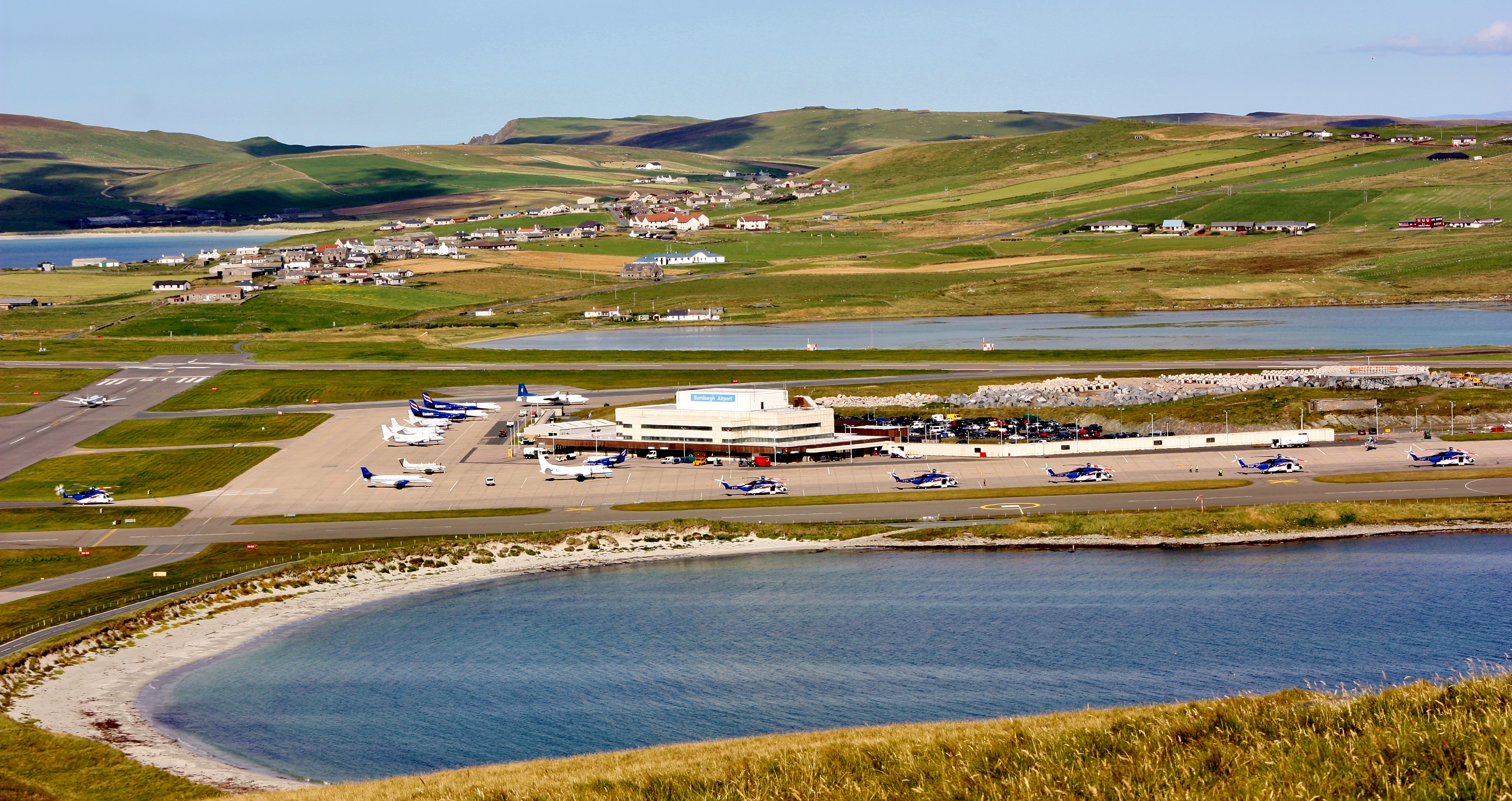
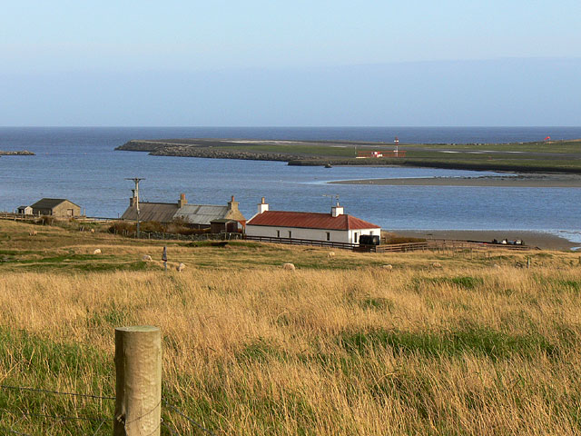
Sumburgh Airport
Sumburgh Airport (IATA: LSI, ICAO: EGPB) is the main airport serving Shetland in Scotland. It is located on the southern tip of the mainland, in the parish...
Virkie
Virkie is the most southerly district of Shetland, other than Fair Isle and is best defined as the area south of the Ward Hill in Dunrossness, also locally...

Old Scatness
Old Scatness is an archeological site on Scat Ness, near the village of Scatness, in the parish of Dunrossness in the south end of Mainland, Shetland,...

Boddam, Shetland
Boddam is a village on the island of Mainland, in Shetland, Scotland. Boddam is an area of Dunrossness in the South Mainland of Shetland. Although Boddam...
Have you been to Nebba?
Leave your review of Nebba below (or comments, questions and feedback).