Dean, Lower

Settlement in Devon South Hams

England

Dean, Lower

Buckfastleigh - Fore Street A market and mill town with many historic buildings on its main street.
Buckfastleigh - Fore Street Credit: Colin Smith

Dean, Lower is a small village located in the county of Devon, England. Situated in the South West region of the country, the village is nestled within the picturesque surroundings of the Dartmoor National Park. With a population of around 300 residents, Dean, Lower offers a tranquil and close-knit community atmosphere.

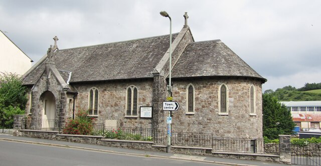
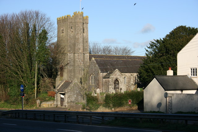
The village boasts a rich history, dating back to medieval times. Evidence of this can be seen through the charming architecture, including traditional thatched cottages and a Norman-style church that dominates the village center. The church, dedicated to St. George, is a prominent landmark and is said to have been built in the 13th century.

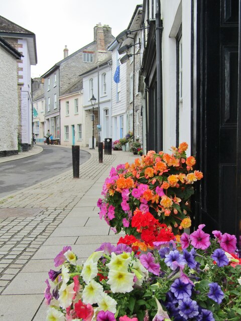
Dean, Lower is blessed with breathtaking natural beauty, surrounded by lush green fields and rolling hills. The village is a haven for nature enthusiasts, offering numerous walking trails and opportunities for outdoor activities. The nearby River Teign provides a picturesque spot for fishing and boating.

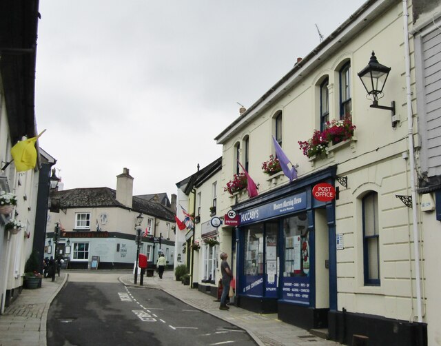
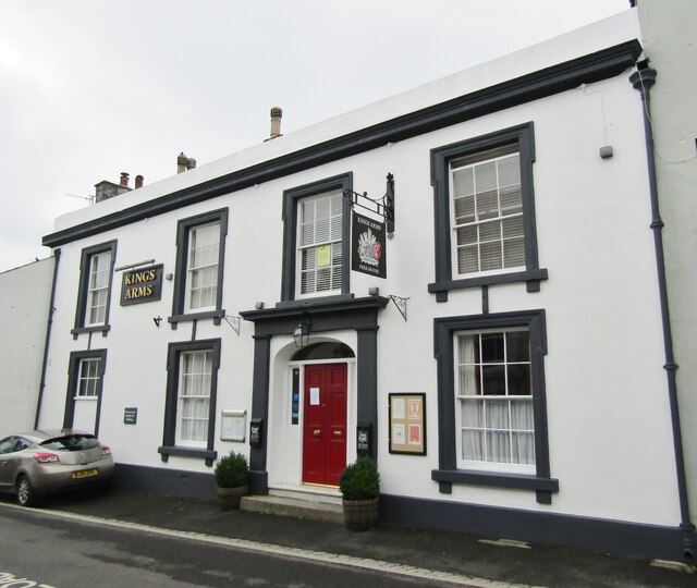
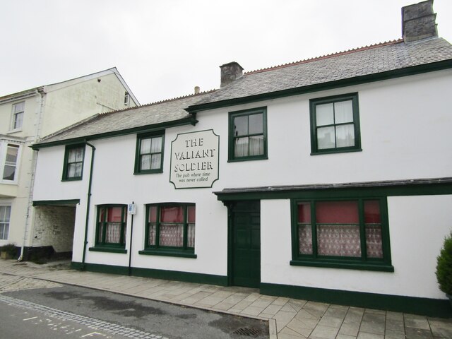
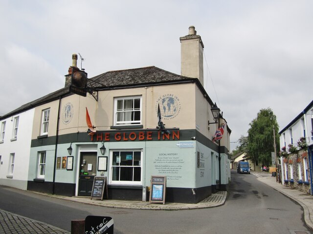
While the village is primarily residential, there are a few local amenities to cater to the needs of its residents. These include a small convenience store, a village hall that hosts community events, and a charming pub where locals and visitors can gather for a pint and a hearty meal.

Overall, Dean, Lower is a delightful village that offers a peaceful and idyllic lifestyle. It is a perfect destination for those seeking a serene retreat amidst natural beauty and a strong sense of community.

If you have any feedback on the listing, please let us know in the comments section below.
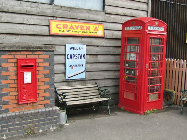
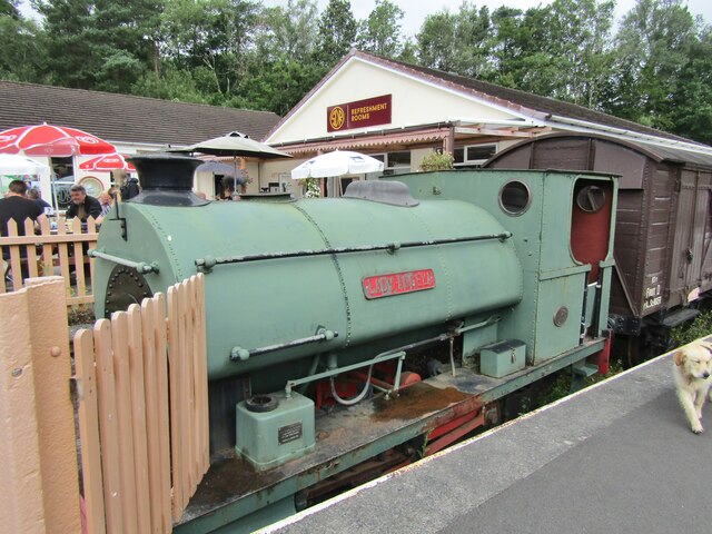
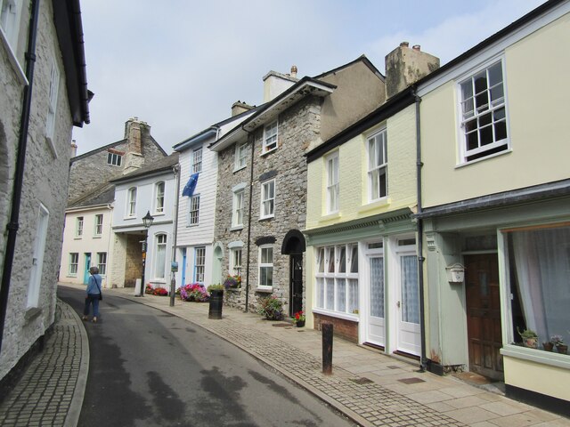
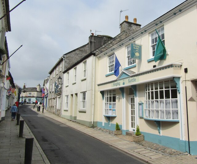
Dean, Lower Images

Images are sourced within 2km of 50.470116/-3.787489 or Grid Reference SX7364. Thanks to Geograph Open Source API. All images are credited.

Buckfastleigh - Fore Street A market and mill town with many historic buildings on its main street.
Buckfastleigh - Fore Street
A market and mill town with many historic buildings on its main street.
Buckfastleigh - Fore Street A market and mill town with many historic buildings on its main street.
Buckfastleigh - Fore Street
A market and mill town with many historic buildings on its main street.
Buckfastleigh - Kings Arms Historic hotel on Fore Street.
Buckfastleigh - Kings Arms
Historic hotel on Fore Street.
Buckfastleigh - The Valiant Soldier Fore Street - "The pub where time was never called". Unchanged since 1965, now a museum and archive.
<span class="nowrap"><a title="www.valiantsoldier.org.uk" rel="nofollow ugc noopener" href="http://www.valiantsoldier.org.uk">Link</a><img style="margin-left:2px;" alt="External link" title="External link - shift click to open in new window" src="https://s1.geograph.org.uk/img/external.png" width="10" height="10"/></span>
Buckfastleigh - The Valiant Soldier
Fore Street - "The pub where time was never called". Unchanged since 1965, now a museum and archive. LinkExternal link
Buckfastleigh - Railway Station The South Devon Railway Trust operates a heritage railway from Totnes to Buckfastleigh. 
<span class="nowrap"><a title="www.southdevonrailway.co.uk" rel="nofollow ugc noopener" href="http://www.southdevonrailway.co.uk">Link</a><img style="margin-left:2px;" alt="External link" title="External link - shift click to open in new window" src="https://s1.geograph.org.uk/img/external.png" width="10" height="10"/></span>
Buckfastleigh - Railway Station
The South Devon Railway Trust operates a heritage railway from Totnes to Buckfastleigh. LinkExternal link
Buckfastleigh - Railway Station - Footbridge The South Devon Railway Trust operates a heritage railway from Totnes to Buckfastleigh. 
<span class="nowrap"><a title="www.southdevonrailway.co.uk" rel="nofollow ugc noopener" href="http://www.southdevonrailway.co.uk">Link</a><img style="margin-left:2px;" alt="External link" title="External link - shift click to open in new window" src="https://s1.geograph.org.uk/img/external.png" width="10" height="10"/></span>
Buckfastleigh - Railway Station - Footbridge
The South Devon Railway Trust operates a heritage railway from Totnes to Buckfastleigh. LinkExternal link
Buckfastleigh - Railway Station The South Devon Railway Trust operates a heritage railway from Totnes to Buckfastleigh. The booking hall has a vintage display, including the arched nameplate "Isambard Kingdom Brunel". Note the hand sanitiser station - anti-Covid measure.
<span class="nowrap"><a title="www.southdevonrailway.co.uk" rel="nofollow ugc noopener" href="http://www.southdevonrailway.co.uk">Link</a><img style="margin-left:2px;" alt="External link" title="External link - shift click to open in new window" src="https://s1.geograph.org.uk/img/external.png" width="10" height="10"/></span>
Buckfastleigh - Railway Station
The South Devon Railway Trust operates a heritage railway from Totnes to Buckfastleigh. The booking hall has a vintage display, including the arched nameplate "Isambard Kingdom Brunel". Note the hand sanitiser station - anti-Covid measure. LinkExternal link
Buckfastleigh - Railway Station The South Devon Railway Trust operates a heritage railway from Totnes to Buckfastleigh. It displays vintage cigarette adverts for Capstan and Craven A between the bright red post box and telephone call box.
<span class="nowrap"><a title="www.southdevonrailway.co.uk" rel="nofollow ugc noopener" href="http://www.southdevonrailway.co.uk">Link</a><img style="margin-left:2px;" alt="External link" title="External link - shift click to open in new window" src="https://s1.geograph.org.uk/img/external.png" width="10" height="10"/></span>
Buckfastleigh - Railway Station
The South Devon Railway Trust operates a heritage railway from Totnes to Buckfastleigh. It displays vintage cigarette adverts for Capstan and Craven A between the bright red post box and telephone call box. LinkExternal link
Buckfastleigh - Railway Station - Lady Angela The South Devon Railway Trust operates a heritage railway from Totnes to Buckfastleigh. "Lady Angela" is a historic tank engine (1926) which operated in a gypsum mine at Kingston-upon-Soar, Notts.
<span class="nowrap"><a title="www.southdevonrailway.co.uk" rel="nofollow ugc noopener" href="http://www.southdevonrailway.co.uk">Link</a><img style="margin-left:2px;" alt="External link" title="External link - shift click to open in new window" src="https://s1.geograph.org.uk/img/external.png" width="10" height="10"/></span>
Buckfastleigh - Railway Station - Lady Angela
The South Devon Railway Trust operates a heritage railway from Totnes to Buckfastleigh. "Lady Angela" is a historic tank engine (1926) which operated in a gypsum mine at Kingston-upon-Soar, Notts. LinkExternal link
Buckfastleigh - Fore Street A market and mill town with many historic buildings on its main street.
Buckfastleigh - Fore Street
A market and mill town with many historic buildings on its main street.
Buckfastleigh - Fore Street A market and mill town with many historic buildings on its main street.
Buckfastleigh - Fore Street
A market and mill town with many historic buildings on its main street.
Buckfastleigh - Fore Street A market and mill town with many historic buildings on its main street e.g. the "Singing Kettle" restaurant with its attractive bow windows.
Buckfastleigh - Fore Street
A market and mill town with many historic buildings on its main street e.g. the "Singing Kettle" restaurant with its attractive bow windows.
Buckfastleigh - The Globe Inn Historic pub at the fork between Plymouth Road (l) and Chapel Street (r).
Buckfastleigh - The Globe Inn
Historic pub at the fork between Plymouth Road (l) and Chapel Street (r).
Buckfastleigh - St Benedict's Church RC church on Chapel Street in the town centre of Buckfastleigh.
Buckfastleigh - St Benedict's Church
RC church on Chapel Street in the town centre of Buckfastleigh.
Preserved Class 37 Locomotive at Buckfastleigh Class 37, 37037 (showing its pre BR TOPS classification number of 6737) at the South Devon Railway's depot at Buckfastleigh.
Preserved Class 37 Locomotive at Buckfastleigh
Class 37, 37037 (showing its pre BR TOPS classification number of 6737) at the South Devon Railway's depot at Buckfastleigh.
Buckfastleigh Station – 1970 The Dart Valley Railway (as it then was) was still in its infancy. The occasion was a railtour from Liverpool organised by the Locomotive Club of Great Britain, at the time it being still possible to run mainline stock onto the branch.

Motive power up and down the branch was provided by former Great Western Railway locomotives 0-6-0PT 1638 and 2-6-2T 4555. (1638 was actually built post-Nationalisation).

A feature of Buckfastleigh Station was that although it had a passing loop, there was only a passenger platform on one side.
Buckfastleigh Station – 1970
The Dart Valley Railway (as it then was) was still in its infancy. The occasion was a railtour from Liverpool organised by the Locomotive Club of Great Britain, at the time it being still possible to run mainline stock onto the branch. Motive power up and down the branch was provided by former Great Western Railway locomotives 0-6-0PT 1638 and 2-6-2T 4555. (1638 was actually built post-Nationalisation). A feature of Buckfastleigh Station was that although it had a passing loop, there was only a passenger platform on one side.
Running round at Buckfastleigh Station – 1970 (2) Taken on the occasion of a Locomotive Club of Great Britain railtour from Liverpool to the relatively newly formed Dart Valley Railway.

Great Western Railway small 2-6-2T locomotive 4555 (hiding its companion 1638) is backing onto the train at the south end of the station prior to returning to Totnes.

The right hand track provides a passing loop, but it was only signalled as a siding, as the station only had one platform and all trains normally ran on the left hand track.
Running round at Buckfastleigh Station – 1970 (2)
Taken on the occasion of a Locomotive Club of Great Britain railtour from Liverpool to the relatively newly formed Dart Valley Railway. Great Western Railway small 2-6-2T locomotive 4555 (hiding its companion 1638) is backing onto the train at the south end of the station prior to returning to Totnes. The right hand track provides a passing loop, but it was only signalled as a siding, as the station only had one platform and all trains normally ran on the left hand track.
Show me another place!

Dean, Lower is located at Grid Ref: SX7364 (Lat: 50.470116, Lng: -3.787489)

Administrative County: Devon

District: South Hams

Police Authority: Devon and Cornwall

What 3 Words

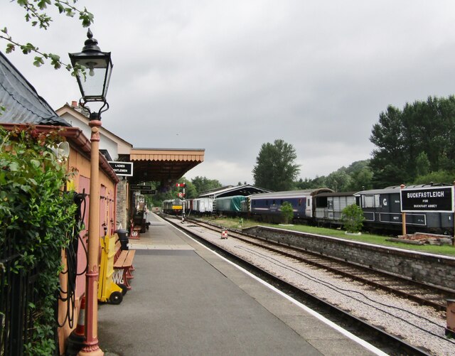
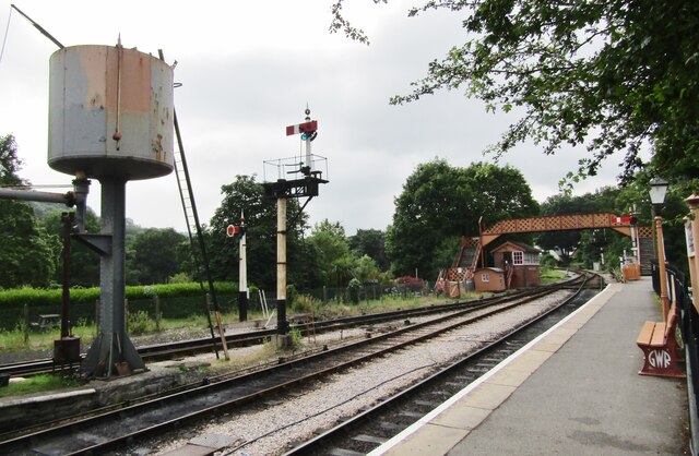
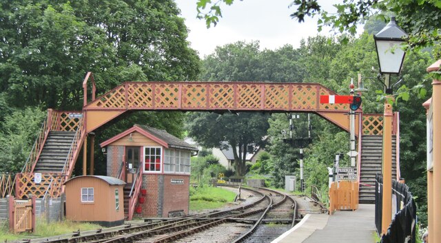
///hoot.mega.truth. Near Buckfastleigh, Devon

Related Wikis

Buckfastleigh

Buckfastleigh is a market town and civil parish in Devon, England situated beside the Devon Expressway (A38) at the edge of the Dartmoor National Park...

Dean Prior

Dean Prior is a village and civil parish near the A38 road, in the South Hams district, in the county of Devon, England. It is located near the town of...

Pennywell Farm

Pennywell Farm is a farm tourist attraction just outside the town of Buckfastleigh in South Devon, England. It is a farm 600 feet (180 m) above sea level...
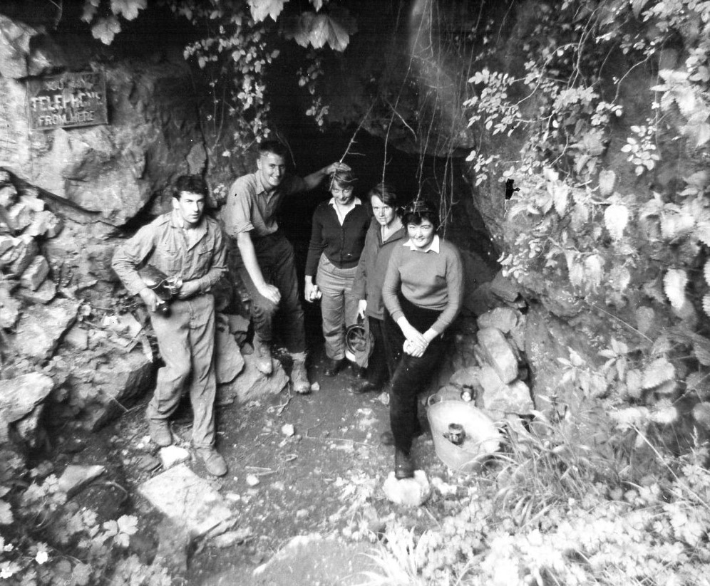
Bakers Pit

Bakers Pit is a phreatic maze cave system near Buckfastleigh, Devon, England. It was first opened in 1847 by quarrying activities.Bakers Pit is entered...

Nearby Amenities

Located within 500m of 50.470116,-3.787489
Motorway Junction
Lower Dean
Lat/Long: 50.4660341/-3.7896902
Coxhill Cross
Place: locality
Lat/Long: 50.4732411/-3.7895468
Upper Dean
Is In: Devon, England, UK
Place: hamlet
Lat/Long: 50.4676487/-3.7909067
Addr City: Buckfastleigh
Addr Housename: Dean Court
Addr Postcode: TQ11 0LT
Addr Street: Lower Dean
Lat/Long: 50.4690531/-3.7870713
Bus Stop
Lat/Long: 50.4698097/-3.7885713
Generator Method: photovoltaic
Generator Output Electricity: yes
Generator Source: solar
Generator Type: solar_photovoltaic_panel
Location: roof
Power: generator
Lat/Long: 50.4684333/-3.7896261
Generator Method: photovoltaic
Generator Output Electricity: yes
Generator Source: solar
Generator Type: solar_photovoltaic_panel
Location: roof
Power: generator
Lat/Long: 50.4670143/-3.7923866
Generator Method: photovoltaic
Generator Output Electricity: yes
Generator Source: solar
Generator Type: solar_photovoltaic_panel
Location: roof
Power: generator
Lat/Long: 50.468814/-3.7856613
Generator Method: photovoltaic
Generator Output Electricity: yes
Generator Source: solar
Generator Type: solar_photovoltaic_panel
Location: roof
Power: generator
Lat/Long: 50.4688413/-3.7857364
Generator Method: photovoltaic
Generator Output Electricity: yes
Generator Source: solar
Generator Type: solar_photovoltaic_panel
Location: roof
Power: generator
Lat/Long: 50.4689198/-3.7858061
Generator Method: photovoltaic
Generator Output Electricity: yes
Generator Source: solar
Generator Type: solar_photovoltaic_panel
Location: roof
Power: generator
Lat/Long: 50.4687662/-3.7857793
Generator Method: photovoltaic
Generator Output Electricity: yes
Generator Source: solar
Generator Type: solar_photovoltaic_panel
Location: roof
Power: generator
Lat/Long: 50.4688311/-3.7858329
Post Box
Brand: Royal Mail
Brand Wikidata: Q638098
Brand Wikipedia: en:Royal Mail
Collection Times: Mo-Fr 09:00; Sa 07:00; Su off
Operator: Royal Mail
Operator Wikidata: Q638098
Post Box Design: type_b
Post Box Mounting: stone_wall
Post Box Type: wall
Ref: TQ11 77D
Royal Cypher: GR
Royal Cypher Wikidata: Q33102273
Source: survey;streetlevel imagery;aerial imagery
Lat/Long: 50.4691178/-3.789099
Telephone
Booth: K6
Covered: booth
Note: Needs a survey to check the status of this red phone box
Lat/Long: 50.4690806/-3.7891097
Defibrillator
Emergency: defibrillator
Lat/Long: 50.4680183/-3.7913708
The data included in this document is from www.openstreetmap.org. The data is made available under ODbL.

Have you been to Dean, Lower?

Leave your review of Dean, Lower below (or comments, questions and feedback).