Darwen, Lower

Settlement in Lancashire

England

Darwen, Lower

Ewood Park, Blackburn The corner of the Blackburn End (left) and Jack Walker Stand (right) at Ewood Park, home of Blackburn Rovers Football Club.
Ewood Park, Blackburn Credit: Greum

Darwen is a small town located in the Lower district of Lancashire, England. Situated in the heart of the West Pennine Moors, it lies approximately 9 miles south of Blackburn and 20 miles northwest of Manchester. With a population of around 28,000 residents, Darwen is known for its close-knit community and rich industrial history.

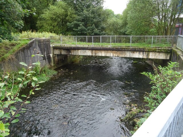
The town dates back to prehistoric times, with evidence of settlement in the area from the Bronze Age. However, it was during the Industrial Revolution that Darwen flourished. The cotton industry played a significant role in its development, and many mills were built along the River Darwen, which runs through the town.

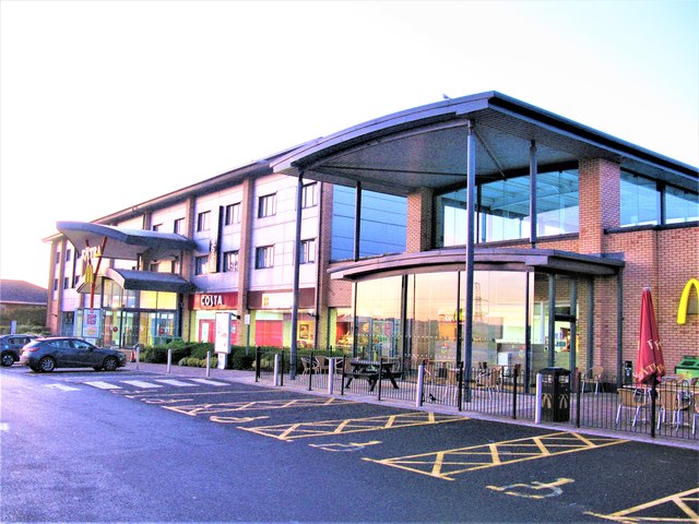
Today, Darwen retains its industrial character, with some of the old mills repurposed into residential and commercial spaces. The town center boasts a variety of shops, restaurants, and pubs, catering to both locals and visitors. Notable landmarks include the Darwen Tower, a Victorian-era monument situated on Darwen Moor, offering panoramic views of the surrounding countryside.

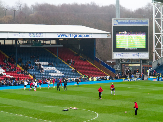
Darwen is also known for its strong sporting culture, particularly in football and cricket. The town has a rich sporting history, with the local football team, Darwen FC, once playing in the Football League. The cricket club, Darwen Cricket Club, is one of the oldest in Lancashire and continues to be an important part of the town's sporting heritage.

In conclusion, Darwen is a small but vibrant town in Lower Lancashire, celebrated for its industrial past, close community, and sporting achievements. With its scenic surroundings and historical landmarks, Darwen offers a blend of heritage and modern amenities for residents and visitors alike.

If you have any feedback on the listing, please let us know in the comments section below.

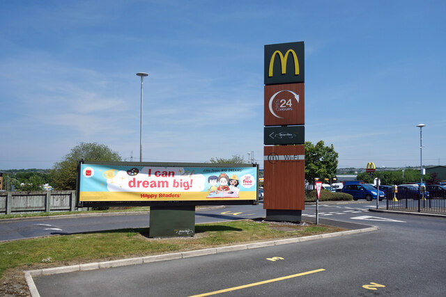
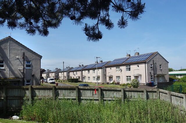
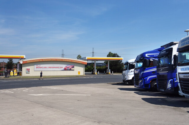
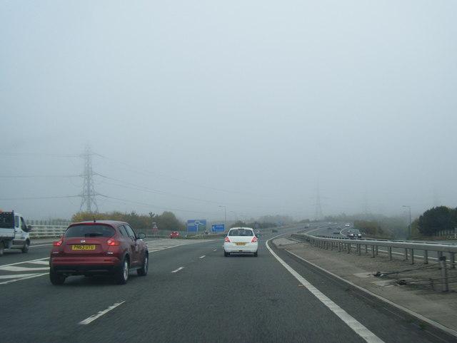
Darwen, Lower Images

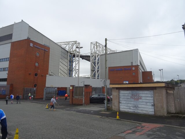
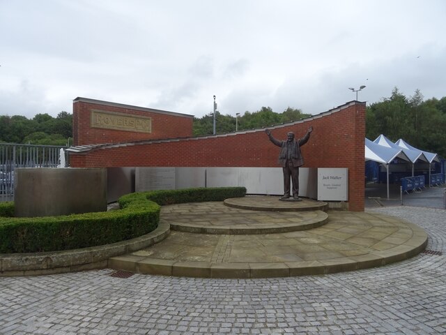
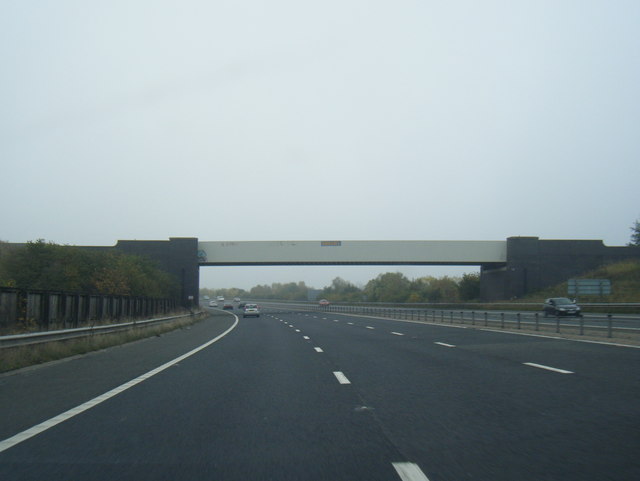
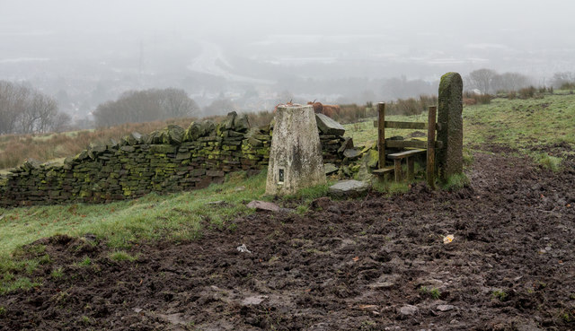
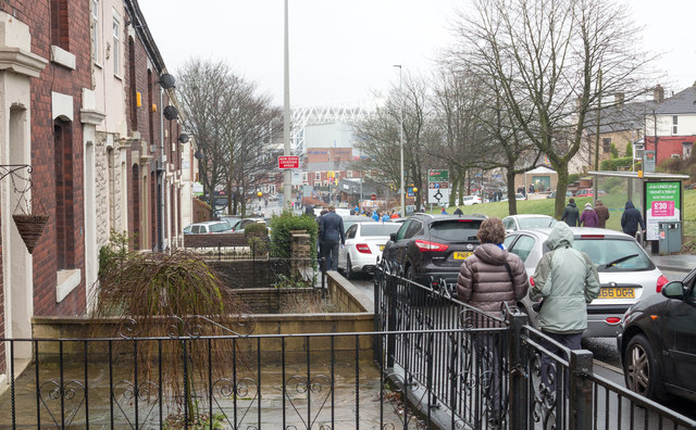
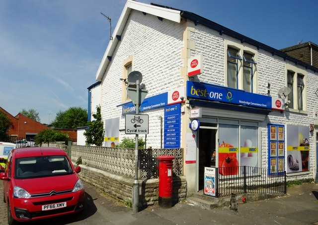
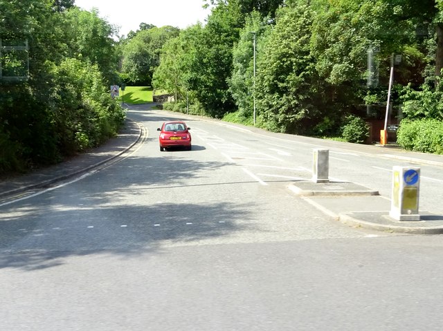
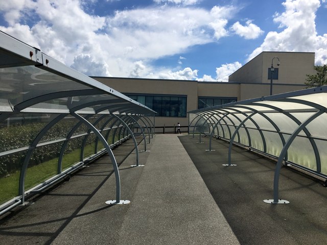
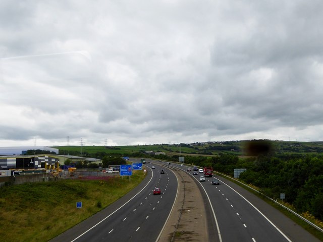
Images are sourced within 2km of 53.721916/-2.471127 or Grid Reference SD6925. Thanks to Geograph Open Source API. All images are credited.

Ewood Park, Blackburn The corner of the Blackburn End (left) and Jack Walker Stand (right) at Ewood Park, home of Blackburn Rovers Football Club.
Ewood Park, Blackburn
The corner of the Blackburn End (left) and Jack Walker Stand (right) at Ewood Park, home of Blackburn Rovers Football Club.
Jack Walker statue, Ewood Park
Blackburn Rovers Memorial Garden, Ewood Park
Footbridge over the River Darwen by Ewood Park
Moor Lane leading into Knowle Lane, Darwen
Dreaming Big at McDonald's Dreaming's free, I guess you can do it anywhere. 
A picture at Blackburn  & Darwen Services on the M65.
Dreaming Big at McDonald's
Dreaming's free, I guess you can do it anywhere. A picture at Blackburn & Darwen Services on the M65.
Redvers Road, Darwen Solar power on all the houses along here.
Redvers Road, Darwen
Solar power on all the houses along here.
Trucks at the Services Another picture taken during a leg stretch around Blackburn & Darwen Services after a long drive.
Trucks at the Services
Another picture taken during a leg stretch around Blackburn & Darwen Services after a long drive.
M65 eastbound exit at Junction 4
M65 eastbound passes under railway bridge
Trig point of Fernhurst Hill The triangulation column stands beside a public footpath near to a bend of Bog Height Road on high ground to the south of Blackburn.
Trig point of Fernhurst Hill
The triangulation column stands beside a public footpath near to a bend of Bog Height Road on high ground to the south of Blackburn.
Livesey Branch Road Livesey Branch Road, the A6062, is close to the centre of Blackburn; the view is towards Ewood Park part of which fills the centre of the image. Many of the folk in the image are heading there to watch an FA Cup match between Blackburn Rovers and Manchester United.
Livesey Branch Road
Livesey Branch Road, the A6062, is close to the centre of Blackburn; the view is towards Ewood Park part of which fills the centre of the image. Many of the folk in the image are heading there to watch an FA Cup match between Blackburn Rovers and Manchester United.
Ewood Park, Riverside Stand The southern end of the Riverside Stand as seen from the Jack Walker Stand.
Ewood Park, Riverside Stand
The southern end of the Riverside Stand as seen from the Jack Walker Stand.
Mossbridge Convenience Store A general grocer in Darwen.
Mossbridge Convenience Store
A general grocer in Darwen.
Jack Walker Way in Ewood, Blackburn Jack Walker (1929 - 2000) was an industrialist and businessman from Blackburn, and went on to be the owner of Blackburn Rovers football club.
Jack Walker Way in Ewood, Blackburn
Jack Walker (1929 - 2000) was an industrialist and businessman from Blackburn, and went on to be the owner of Blackburn Rovers football club.
Empty bicycle sheds at the Royal Blackburn Hospital
M65 in Darwen From the Bolton to Clitheroe railway line.
M65 in Darwen
From the Bolton to Clitheroe railway line.
Blackburn with Darwen Services Service area on the M65, South Preston to Colne motorway, at Junction 4, the intersection with the A666.
Blackburn with Darwen Services
Service area on the M65, South Preston to Colne motorway, at Junction 4, the intersection with the A666.
Show me another place!

Darwen, Lower is located at Grid Ref: SD6925 (Lat: 53.721916, Lng: -2.471127)

Unitary Authority: Blackburn with Darwen

Police Authority: Lancashire

What 3 Words

///miss.export.sheep. Near Darwen, Lancashire

Related Wikis

Lower Darwen railway station

Lower Darwen railway station was a railway station that served the village of Lower Darwen, in Lancashire, England. == History == The railway line between...

Lower Darwen

Lower Darwen is a village in the unitary borough of Blackburn with Darwen, contiguous with the town of Darwen, in the county of Lancashire. It is located...

ROF Blackburn

Royal Ordnance Factory, ROF, Blackburn was part of the Ministry of Defence organisations producing components for the manufacture of armaments and arms...

Blackamoor, Lancashire

Blackamoor is one village in Lancashire, England which is to the south of Blackburn.It is located on the cross roads between Lower Darwen and Guide where...

Nearby Amenities

Located within 500m of 53.721916,-2.471127
Lower Darwen
Place: village
Source: npe
Wikidata: Q11762917
Lat/Long: 53.7216984/-2.4710068
Mini Roundabout
Direction: clockwise
Lat/Long: 53.7216757/-2.473847
Mini Roundabout
Direction: clockwise
Lat/Long: 53.7212909/-2.4764816
Bus Stop
Bus: yes
Public Transport: platform
Lat/Long: 53.722734/-2.4693477
Bus Stop
Bus: yes
Public Transport: platform
Shelter: yes
Lat/Long: 53.7220515/-2.472724
Bus Stop
Public Transport: platform
Lat/Long: 53.7216014/-2.4735838
Place Of Worship
Note: disused?
Religion: christian
Lat/Long: 53.7215492/-2.4734268
Barrier: bollard
Lat/Long: 53.7196219/-2.4773771
Crossing
Crossing: zebra
Crossing Island: no
Kerb: lowered
Tactile Paving: yes
Lat/Long: 53.7216462/-2.4740417
Barrier: yes
Foot: yes
Lat/Long: 53.7212147/-2.4737273
Generator Method: photovoltaic
Generator Output Electricity: yes
Generator Source: solar
Generator Type: solar_photovoltaic_panel
Location: roof
Power: generator
Lat/Long: 53.7204656/-2.4727078
Generator Method: photovoltaic
Generator Output Electricity: yes
Generator Source: solar
Generator Type: solar_photovoltaic_panel
Location: roof
Power: generator
Lat/Long: 53.7204587/-2.4725994
Generator Method: photovoltaic
Generator Output Electricity: yes
Generator Source: solar
Generator Type: solar_photovoltaic_panel
Location: roof
Power: generator
Lat/Long: 53.7196895/-2.4712924
Generator Method: photovoltaic
Generator Output Electricity: yes
Generator Source: solar
Generator Type: solar_photovoltaic_panel
Location: roof
Power: generator
Lat/Long: 53.7195419/-2.4717806
Generator Method: photovoltaic
Generator Output Electricity: yes
Generator Source: solar
Generator Type: solar_photovoltaic_panel
Location: roof
Power: generator
Lat/Long: 53.7209473/-2.4686204
Generator Method: photovoltaic
Generator Output Electricity: yes
Generator Source: solar
Generator Type: solar_photovoltaic_panel
Location: roof
Power: generator
Lat/Long: 53.7206095/-2.4694229
Generator Method: photovoltaic
Generator Output Electricity: yes
Generator Source: solar
Generator Type: solar_photovoltaic_panel
Location: roof
Power: generator
Lat/Long: 53.7191913/-2.466681
Generator Method: photovoltaic
Generator Output Electricity: yes
Generator Source: solar
Generator Type: solar_photovoltaic_panel
Location: roof
Power: generator
Lat/Long: 53.7185326/-2.4662277
Generator Method: photovoltaic
Generator Output Electricity: yes
Generator Source: solar
Generator Type: solar_photovoltaic_panel
Location: roof
Power: generator
Lat/Long: 53.7185469/-2.4670673
Generator Method: photovoltaic
Generator Output Electricity: yes
Generator Source: solar
Generator Type: solar_photovoltaic_panel
Location: roof
Power: generator
Lat/Long: 53.7207785/-2.4666004
Generator Method: photovoltaic
Generator Output Electricity: yes
Generator Source: solar
Generator Type: solar_photovoltaic_panel
Location: roof
Power: generator
Lat/Long: 53.7183305/-2.4665428
Generator Method: photovoltaic
Generator Output Electricity: yes
Generator Source: solar
Generator Type: solar_photovoltaic_panel
Location: roof
Power: generator
Lat/Long: 53.7192513/-2.4678796
Generator Method: photovoltaic
Generator Output Electricity: yes
Generator Source: solar
Generator Type: solar_photovoltaic_panel
Location: roof
Power: generator
Lat/Long: 53.7198718/-2.4689793
Generator Method: photovoltaic
Generator Output Electricity: yes
Generator Source: solar
Generator Type: solar_photovoltaic_panel
Location: roof
Power: generator
Lat/Long: 53.7195766/-2.4694326
Generator Method: photovoltaic
Generator Output Electricity: yes
Generator Source: solar
Generator Type: solar_photovoltaic_panel
Location: roof
Power: generator
Lat/Long: 53.7215277/-2.4645677
Generator Method: photovoltaic
Generator Output Electricity: yes
Generator Source: solar
Generator Type: solar_photovoltaic_panel
Location: roof
Power: generator
Lat/Long: 53.7208445/-2.4656991
Generator Method: photovoltaic
Generator Output Electricity: yes
Generator Source: solar
Generator Type: solar_photovoltaic_panel
Location: roof
Power: generator
Lat/Long: 53.720581/-2.4661041
Generator Method: photovoltaic
Generator Output Electricity: yes
Generator Source: solar
Generator Type: solar_photovoltaic_panel
Location: roof
Power: generator
Lat/Long: 53.7205048/-2.4662624
Generator Method: photovoltaic
Generator Output Electricity: yes
Generator Source: solar
Generator Type: solar_photovoltaic_panel
Location: roof
Power: generator
Lat/Long: 53.720134/-2.4719334
Generator Method: photovoltaic
Generator Output Electricity: yes
Generator Source: solar
Generator Type: solar_photovoltaic_panel
Location: roof
Power: generator
Lat/Long: 53.7195533/-2.4734944
Generator Method: photovoltaic
Generator Output Electricity: yes
Generator Source: solar
Generator Type: solar_photovoltaic_panel
Location: roof
Power: generator
Lat/Long: 53.7212091/-2.4664043
Generator Method: photovoltaic
Generator Output Electricity: yes
Generator Source: solar
Generator Type: solar_photovoltaic_panel
Location: roof
Power: generator
Lat/Long: 53.7225043/-2.4685358
Generator Method: photovoltaic
Generator Output Electricity: yes
Generator Source: solar
Generator Type: solar_photovoltaic_panel
Location: roof
Power: generator
Lat/Long: 53.7224533/-2.4688514
Generator Method: photovoltaic
Generator Output Electricity: yes
Generator Source: solar
Generator Type: solar_photovoltaic_panel
Location: roof
Power: generator
Lat/Long: 53.7221894/-2.4665243
Generator Method: photovoltaic
Generator Output Electricity: yes
Generator Source: solar
Generator Type: solar_photovoltaic_panel
Location: roof
Power: generator
Lat/Long: 53.722305/-2.4660852
Generator Method: photovoltaic
Generator Output Electricity: yes
Generator Source: solar
Generator Type: solar_photovoltaic_panel
Location: roof
Power: generator
Lat/Long: 53.7226021/-2.4649779
Generator Method: photovoltaic
Generator Output Electricity: yes
Generator Source: solar
Generator Type: solar_photovoltaic_panel
Location: roof
Power: generator
Lat/Long: 53.7228263/-2.4646306
Generator Method: photovoltaic
Generator Output Electricity: yes
Generator Source: solar
Generator Type: solar_photovoltaic_panel
Location: roof
Power: generator
Lat/Long: 53.7220669/-2.4646765
Generator Method: photovoltaic
Generator Output Electricity: yes
Generator Source: solar
Generator Type: solar_photovoltaic_panel
Location: roof
Power: generator
Lat/Long: 53.7220586/-2.4649028
Generator Method: photovoltaic
Generator Output Electricity: yes
Generator Source: solar
Generator Type: solar_photovoltaic_panel
Location: roof
Power: generator
Lat/Long: 53.7235031/-2.466526
Generator Method: photovoltaic
Generator Output Electricity: yes
Generator Source: solar
Generator Type: solar_photovoltaic_panel
Location: roof
Power: generator
Lat/Long: 53.7234636/-2.4667204
Generator Method: photovoltaic
Generator Output Electricity: yes
Generator Source: solar
Generator Type: solar_photovoltaic_panel
Location: roof
Power: generator
Lat/Long: 53.7237116/-2.4672792
Generator Method: photovoltaic
Generator Output Electricity: yes
Generator Source: solar
Generator Type: solar_photovoltaic_panel
Location: roof
Power: generator
Lat/Long: 53.7234474/-2.4684424
Generator Method: photovoltaic
Generator Output Electricity: yes
Generator Source: solar
Generator Type: solar_photovoltaic_panel
Location: roof
Power: generator
Lat/Long: 53.7236613/-2.4688129
PC Roadshows Entertainments
Addr Street: Higher Croft Road
Email: info@pcroadshows.com
Office: company
Opening Hours: 24/7
Phone: +44 7881912303
Website: https://www.pcroadshows.com/
Lat/Long: 53.7244905/-2.4729022
Lower Darwen
Abandoned Railway: station
Railway: site
Wikidata: Q6693420
Wikipedia: en:Lower Darwen railway station
Lat/Long: 53.7227821/-2.4721673
Give Way
Lat/Long: 53.7208798/-2.4783723
Give Way
Direction: forward
Lat/Long: 53.7182224/-2.466814
The data included in this document is from www.openstreetmap.org. The data is made available under ODbL.

Have you been to Darwen, Lower?

Leave your review of Darwen, Lower below (or comments, questions and feedback).