Lot's Wife
Coastal Feature, Headland, Point in Durham
England
Lot's Wife

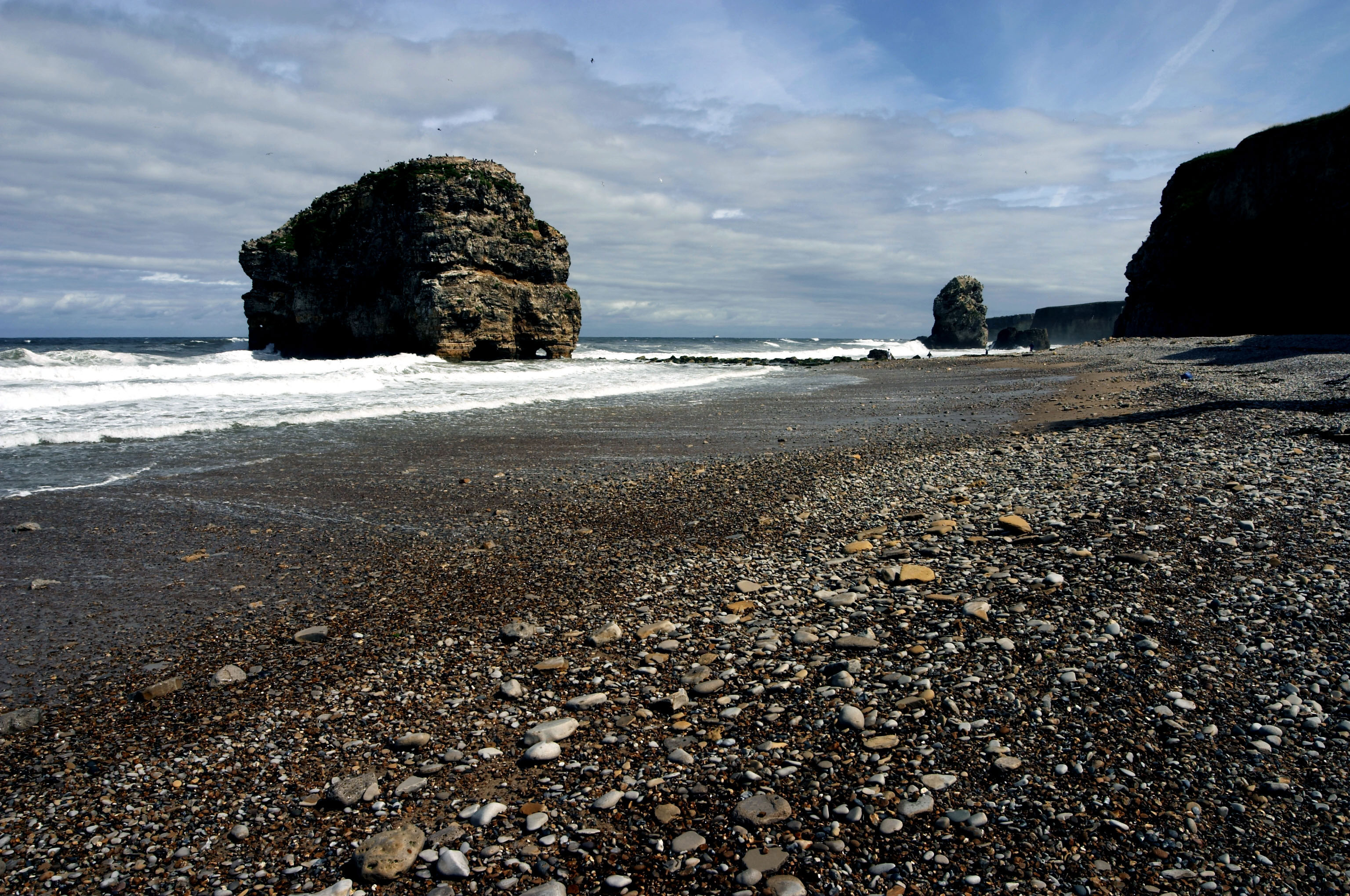
Lot's Wife is a prominent coastal feature located in Durham, England. It is a headland or point that juts out into the North Sea, forming part of the picturesque Durham Heritage Coastline. The name "Lot's Wife" is derived from a biblical reference, alluding to the story of Lot's wife who was turned into a pillar of salt for looking back at the destruction of Sodom and Gomorrah.
The headland is characterized by its towering cliffs, which rise up to approximately 50 meters above sea level, offering stunning panoramic views of the surrounding coastline. These cliffs are composed of layers of sedimentary rocks, showcasing a variety of colors and textures, including sandstone and limestone.
Lot's Wife is a popular destination for outdoor enthusiasts, nature lovers, and hikers. The headland is accessible via a well-maintained footpath that winds its way along the coastal edge, providing breathtaking vistas of the rugged cliffs and the crashing waves below. The area is also renowned for its rich biodiversity, with several species of seabirds nesting on the cliffs, including kittiwakes, fulmars, and razorbills.
In addition to its natural beauty, Lot's Wife holds historical significance. The headland is dotted with remnants of ancient settlements and structures, including Iron Age hillforts and medieval ruins, offering visitors a glimpse into the region's past.
Overall, Lot's Wife is a captivating coastal feature that combines breathtaking natural scenery, fascinating history, and a sense of tranquility, making it a must-visit destination for anyone exploring the Durham Heritage Coastline.
If you have any feedback on the listing, please let us know in the comments section below.
Lot's Wife Images
Images are sourced within 2km of 54.978814/-1.3793024 or Grid Reference NZ3965. Thanks to Geograph Open Source API. All images are credited.


Lot's Wife is located at Grid Ref: NZ3965 (Lat: 54.978814, Lng: -1.3793024)
Unitary Authority: South Tyneside
Police Authority: Northumbria
What 3 Words
///animal.chart.pool. Near Whitburn, Tyne & Wear
Nearby Locations
Related Wikis
Marsden, Tyne and Wear
Marsden is located on the outskirts of the seaside town South Shields, North East England, located on the North Sea coast. It lies within historic County...
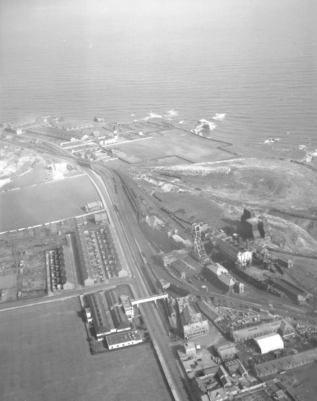
Whitburn Colliery
Whitburn Colliery was a coal mine located about three miles south of South Shields, North East England, located on the North Sea coast. == Background... ==
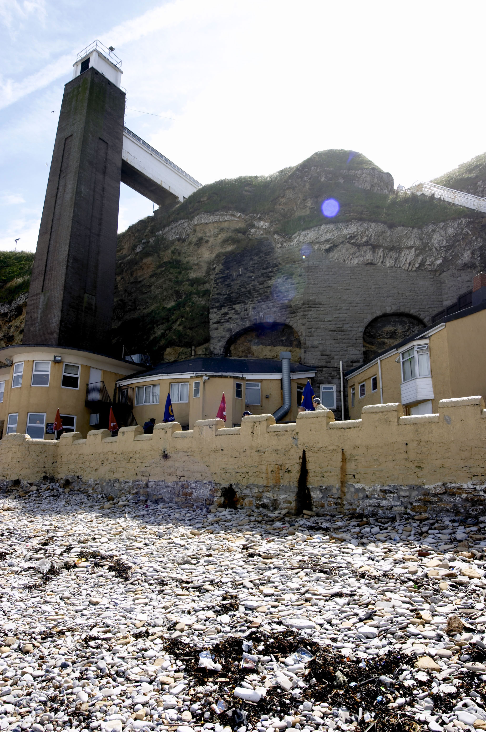
Marsden Grotto
The Marsden Grotto, locally known as The Grotto, is a gastropub located on the coast at Marsden in South Shields, Tyne & Wear, England. It is partly dug...

Marsden Rock
Marsden Rock is a rock in Tyne and Wear, North East England, situated in Marsden, South Shields. It is overlooked by the Marsden Grotto. The rock is a...

The Leas
The Leas is a large area of land owned and maintained by the National Trust along the coastal cliffs of South Shields, England.It is popular with dog walkers...

Frenchman's Bay (South Shields)
Frenchman’s Bay is a small bay between South Shields and Marsden Grotto, Tyne and Wear. The O.S. grid reference is NZ392660. == See also == Geordie dialect...
Harton Academy
Harton Academy, formerly Harton Technology College or Harton Comprehensive School, is a mixed secondary school and sixth form located in South Shields...
Harton, South Shields
Harton is a suburban area of South Shields, South Tyneside, North East England. It was historically a village, however as the urban area grew it merged...
Nearby Amenities
Located within 500m of 54.978814,-1.3793024Have you been to Lot's Wife?
Leave your review of Lot's Wife below (or comments, questions and feedback).