Black Skerry

Coastal Feature, Headland, Point in Shetland

Scotland

Black Skerry

Trondra: postbox № ZE2 55 The postbox serving Trondra stands alongside a bus shelter by a road junction towards the northeast of the island. We are looking along the B9074 back towards Scalloway on the Shetland mainland.
Trondra: postbox № ZE2 55 Credit: Chris Downer

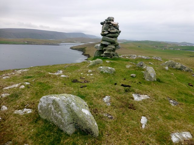
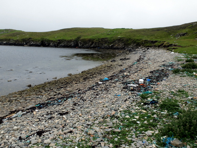
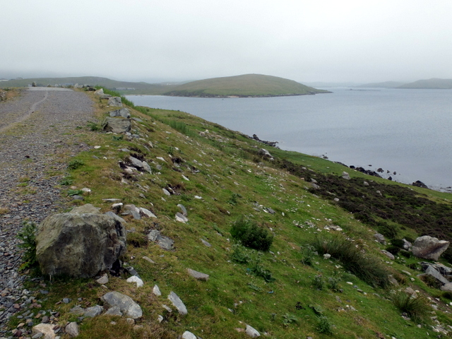
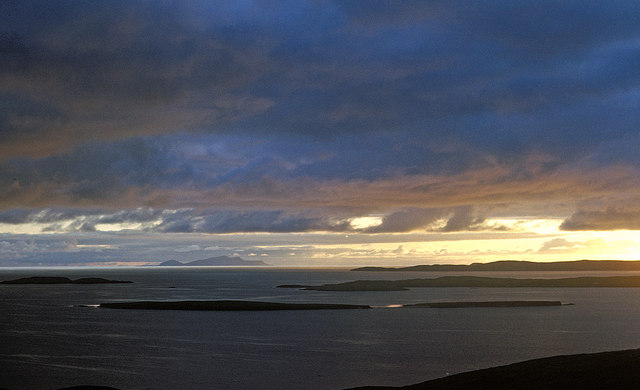
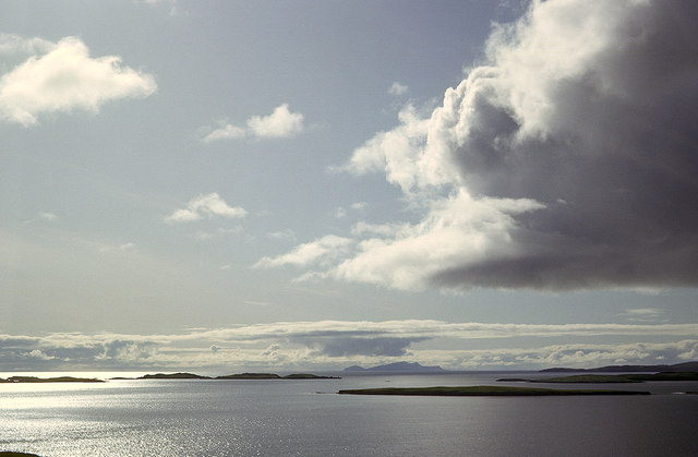
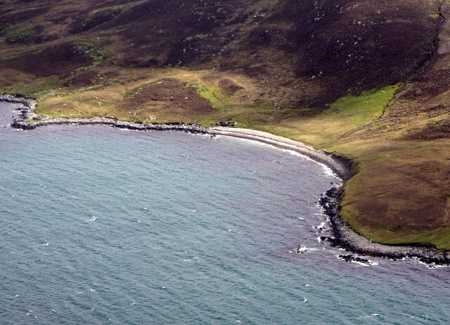
Black Skerry is a prominent coastal feature located on the eastern coast of the Shetland Islands in Scotland. Situated on the mainland, it is specifically found on the headland of Eshaness, which is renowned for its dramatic cliffs and rugged landscapes. Black Skerry is an imposing point that juts out into the North Sea, offering stunning views of the surrounding seascape.

The headland is composed of ancient volcanic rocks, primarily basalt, which have been shaped by erosional forces over millions of years. Black Skerry itself is a large, dark-colored rocky outcrop that stands tall above the crashing waves below. It is comprised of columnar basalt formations, displaying the characteristic hexagonal pillars that are a result of the slow cooling and contraction of lava flows.

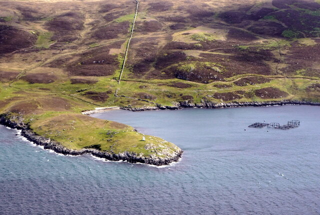
The area around Black Skerry is known for its diverse wildlife, particularly seabirds that nest on the cliffs. Visitors to the site can often spot colonies of puffins, guillemots, razorbills, and fulmars, as well as other seabirds such as kittiwakes and gulls. Additionally, the surrounding waters are home to various marine species, including seals and dolphins, which can sometimes be seen frolicking offshore.

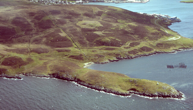
Black Skerry and the Eshaness headland are popular destinations for hikers and nature enthusiasts, who come to explore the rugged coastal trails and admire the breathtaking views. The site offers a unique opportunity to witness the power of nature and experience the untamed beauty of the Shetland Islands.

If you have any feedback on the listing, please let us know in the comments section below.
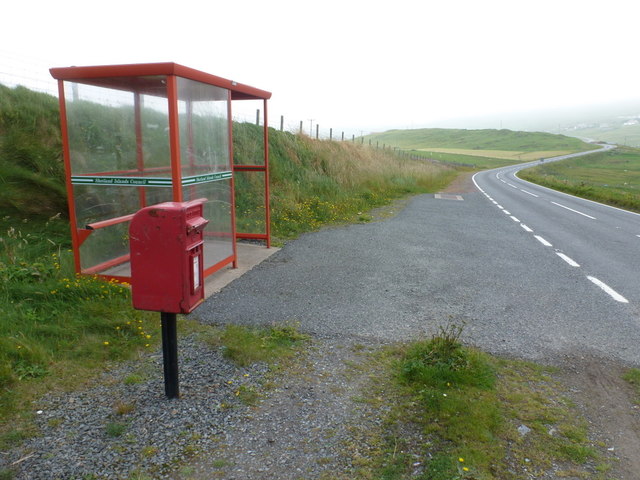
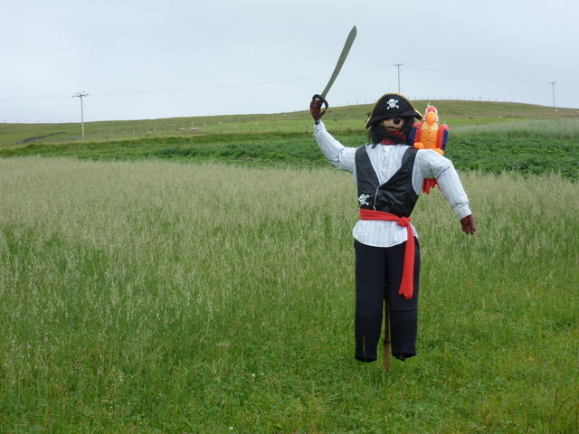
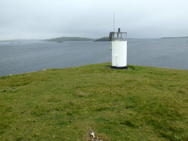
Black Skerry Images

Images are sourced within 2km of 60.12768/-1.3150773 or Grid Reference HU3838. Thanks to Geograph Open Source API. All images are credited.

Trondra: postbox № ZE2 55 The postbox serving Trondra stands alongside a bus shelter by a road junction towards the northeast of the island. We are looking along the B9074 back towards Scalloway on the Shetland mainland.
Trondra: postbox № ZE2 55
The postbox serving Trondra stands alongside a bus shelter by a road junction towards the northeast of the island. We are looking along the B9074 back towards Scalloway on the Shetland mainland.
Trondra: pirate scarecrow An unusual scarecrow in a field alongside the B9074.
Trondra: pirate scarecrow
An unusual scarecrow in a field alongside the B9074.
Bruna Ness Bagged with Tricky Speirs with view towards the bridge that connect Trondra to West Burra.
Name: Bruna Ness
Hill number: 104041
Height: 59m / 194ft
Area:22: Shetland Islands
Class:0
Grid ref: HU382368 (est)
Drop: 43m
Col: 16m
Bruna Ness
Bagged with Tricky Speirs with view towards the bridge that connect Trondra to West Burra. Name: Bruna Ness Hill number: 104041 Height: 59m / 194ft Area:22: Shetland Islands Class:0 Grid ref: HU382368 (est) Drop: 43m Col: 16m
Light at Point of Pund A navigational light at the entrance to Scalloway Voe.
Light at Point of Pund
A navigational light at the entrance to Scalloway Voe.
Beach at the head of Pund Voe Plenty of maritime debris is washed up onto the beach.
Beach at the head of Pund Voe
Plenty of maritime debris is washed up onto the beach.
Maa Ness A small promontory on the north side of the entry to Scalloway.
Maa Ness
A small promontory on the north side of the entry to Scalloway.
Evening view west from the Ness of Westshore Once the ridge is climbed to the west of Scalloway the view extends over the nearby islands of Lunga, Linga and Hildasay before the long stretch of sea to Foula on the western horizon.
Evening view west from the Ness of Westshore
Once the ridge is climbed to the west of Scalloway the view extends over the nearby islands of Lunga, Linga and Hildasay before the long stretch of sea to Foula on the western horizon.
Islands west from Point of the Pund, Mainland West to Foula over Langa and the islets south of Hildasay.
Islands west from Point of the Pund, Mainland
West to Foula over Langa and the islets south of Hildasay.
Scalloway: model plane at the harbour A model plane set on top of an otherwise unused post along the western side of the harbour. The castle is visible somewhat mistily in the background.
Scalloway: model plane at the harbour
A model plane set on top of an otherwise unused post along the western side of the harbour. The castle is visible somewhat mistily in the background.
Scalloway View from Scrae Field.
Scalloway
View from Scrae Field.
Slipway at Port Arthur, Scalloway
Scalloway Marina
Scalloway Marina
Cauldhame Viewed from a plane en-route from Lerwick to Fair Isle.
Cauldhame
Viewed from a plane en-route from Lerwick to Fair Isle.
Yacht passing the southern part of Langa Langa is really two islands joined by a beach.
Yacht passing the southern part of Langa
Langa is really two islands joined by a beach.
Shalder's Ayre, near Scalloway, from the air
Pund Voe, Scalloway, from the air
Point of Pundvoe, Scalloway, from the air
Green Holm and Merry Holm from the air
Show me another place!

Black Skerry is located at Grid Ref: HU3838 (Lat: 60.12768, Lng: -1.3150773)

Unitary Authority: Shetland Islands

Police Authority: Highlands and Islands

What 3 Words

///dragging.stub.reforming. Near Scalloway, Shetland Islands

Related Wikis

Green Holm

Green Holm, (HU382379), is a small uninhabited island 500 metres north of Burra Ness at the north end of the island of Burra and on the west side of the...

Langa, Shetland

Langa (Old Norse: Langey ) is the collective name for two uninhabited islands off Hildasay, in Shetland, Scotland. The islands are connected by a tombolo...

Papa, Shetland

Papa (Scots: Papa; Old Norse: Papey, meaning "the island of the priests") is an uninhabited island in the Scalloway Islands, Shetland, Scotland. Papa lies...

Trondra

Trondra (Scots: Trondra) is one of the Scalloway Islands, a subgroup of the Shetland Islands in Scotland. It shelters the harbour of Scalloway and has...

Scalloway

Scalloway (Old Norse: Skálavágr, "bay with the large house(s)") is the largest settlement on the west coast of the Mainland, the largest island of the...

Cutts, Shetland

Cutts is a settlement in the Shetland Islands, United Kingdom. It is on the island of Trondra off the west coast of Shetland Mainland. The B9074 crosses...

Linga, Scalloway Islands

Linga is a small island off Hildasay in the Shetland Islands. It is one of the Scalloway Islands. Haswell-Smith compares Hildasay and the adjacent islands...

West Head of Papa

West Head of Papa is a small tidal island off Papa in Shetland, and is one of the Scalloway Islands. It is 21m at its highest point. East Head of Papa...

Have you been to Black Skerry?

Leave your review of Black Skerry below (or comments, questions and feedback).