Boadi Geo
Coastal Feature, Headland, Point in Shetland
Scotland
Boadi Geo
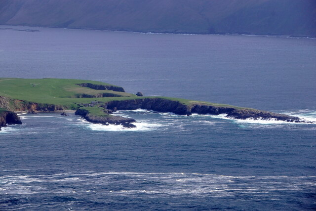
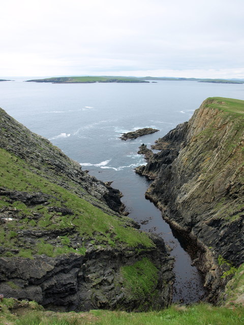
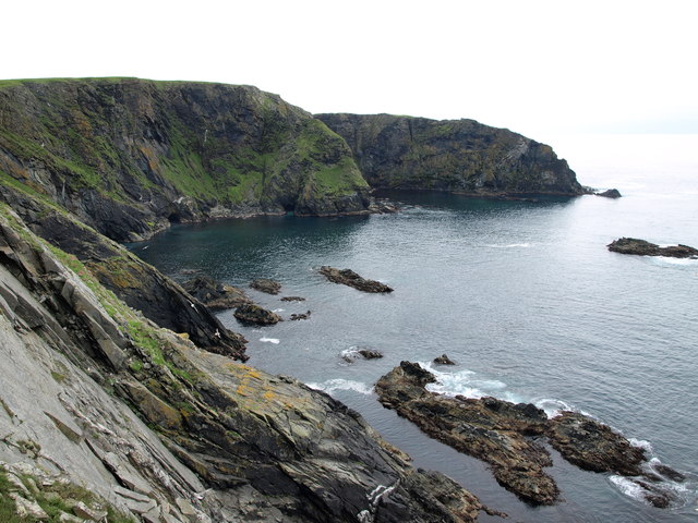
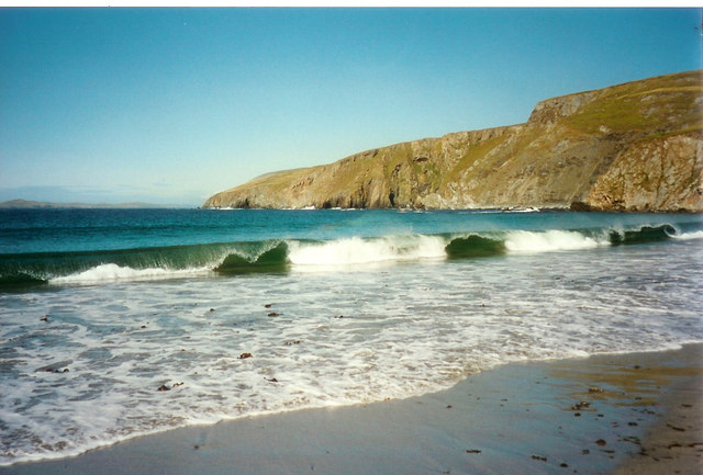
Boadi Geo is a coastal feature located on the island of Shetland, situated in the northernmost part of Scotland. It is classified as a headland, often referred to as a point due to its prominent structure extending out into the sea. Boadi Geo is positioned on the western coast of Shetland, overlooking the vast Atlantic Ocean.
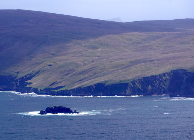
This coastal feature is characterized by its rugged and rocky terrain, with steep cliffs dropping down to the crashing waves below. The towering cliffs of Boadi Geo provide a breathtaking panoramic view of the surrounding ocean and the distant horizon. The headland is composed of sedimentary rock formations, displaying layers that have been shaped over centuries by the relentless force of the sea.
Boadi Geo is a popular spot for nature enthusiasts, offering a variety of wildlife and birdwatching opportunities. Visitors can often witness seabird colonies nesting on the cliffs, including guillemots, puffins, and fulmars. The crashing waves against the rocky shores provide a dramatic backdrop, and the strong ocean currents make it a favored spot for surfers and kayakers seeking an adrenaline rush.
The coastal feature is easily accessible via a well-defined footpath that leads visitors along the cliff edge, offering stunning views of the coastline. It is important to exercise caution when exploring Boadi Geo, as the cliffs can be unstable and slippery. Visitors are advised to wear appropriate footwear and stay within designated paths.
Overall, Boadi Geo in Shetland is a remarkable coastal feature, showcasing the raw beauty and power of nature. Its rugged cliffs, diverse wildlife, and panoramic views make it a must-visit destination for nature lovers and adventure seekers alike.
If you have any feedback on the listing, please let us know in the comments section below.
Boadi Geo Images
Images are sourced within 2km of 60.016538/-1.3208028 or Grid Reference HU3725. Thanks to Geograph Open Source API. All images are credited.


Boadi Geo is located at Grid Ref: HU3725 (Lat: 60.016538, Lng: -1.3208028)
Unitary Authority: Shetland Islands
Police Authority: Highlands and Islands
What 3 Words
///resist.motored.rapid. Near Sandwick, Shetland Islands
Nearby Locations
Related Wikis

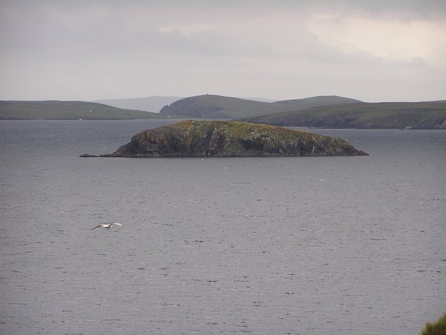
South Havra
South Havra (Scots: Sooth Haevra; Old Norse: Hafrey), formerly Hevera, is an uninhabited island in the Scalloway Islands, Shetland, Scotland. == Geography... ==

Little Havra
Little Havra is a small island off the west of South Mainland in Shetland. It is 35 metres (115 ft) at its highest point, upon which there is a cairn....

Hoswick
Hoswick is a settlement in Sandwick in the south mainland of Shetland, Scotland, on the eastern part of the Dunrossness civil parish. It is separated from...

Catpund
Catpund is a quarry site in Shetland, Scotland, where steatite vessels were cut from the rock from prehistory onwards. The quarrying marks are still visible...

Bigton
Bigton is a small settlement on South Mainland, Shetland, UK. Bigton is within the civil parish of Dunrossness.Bigton lies on the Atlantic coast of the...
St Ninian's Isle
St Ninian's Isle is a small tied island connected by the largest tombolo in the UK to the south-western coast of the Mainland, Shetland, in Scotland. It...

Levenwick
Levenwick is a small village about 17 miles (27 km) south of Lerwick, on the east side of the South Mainland of Shetland, Scotland. It is part of the parish...

Mail, Shetland
Mail is a hamlet on the island of Mainland, in the Shetland Islands, Scotland. == Geography == Mail is located on the south-eastern side of the island...
Have you been to Boadi Geo?
Leave your review of Boadi Geo below (or comments, questions and feedback).