Bannamans Geo
Coastal Feature, Headland, Point in Shetland
Scotland
Bannamans Geo
Bannamans Geo is a prominent coastal feature located in the Shetland Islands, which are part of Scotland. It is classified as a headland or a point, as it extends out into the North Sea.
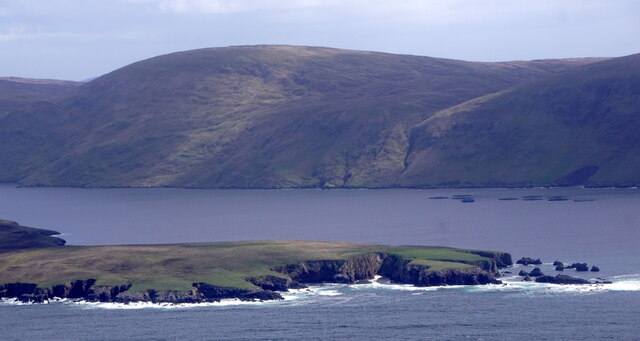
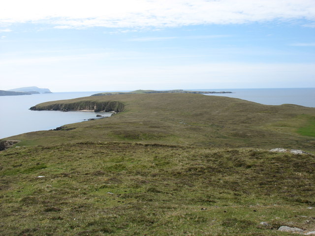
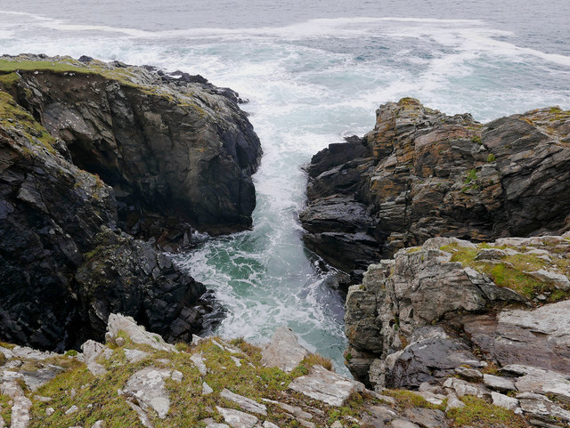
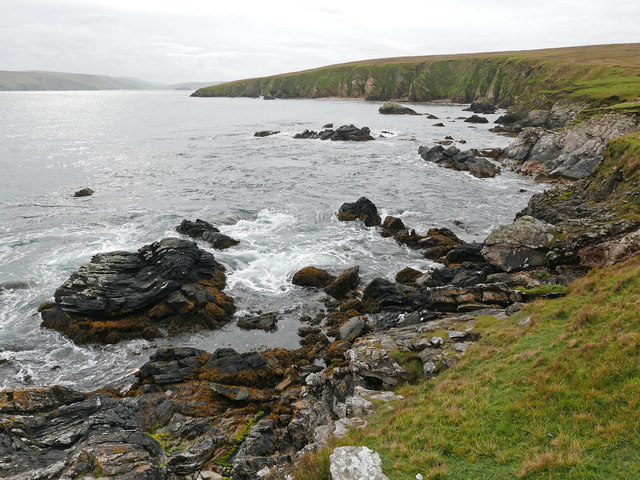
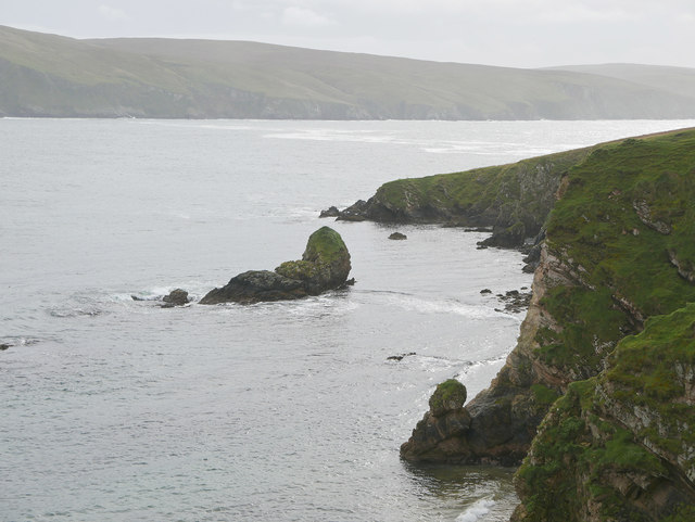
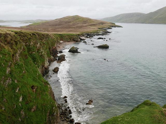
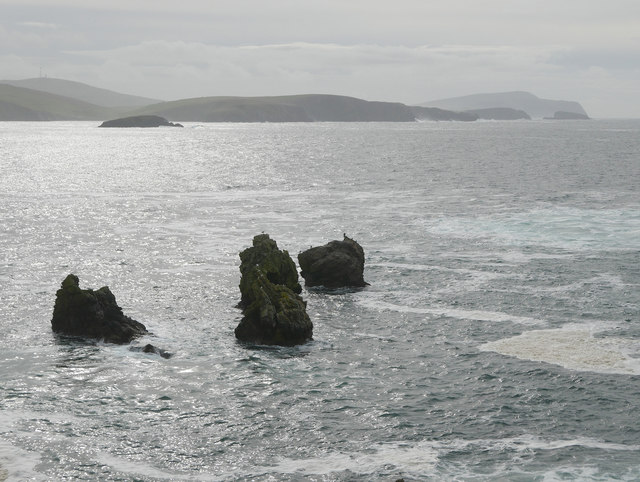
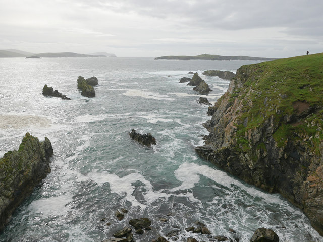
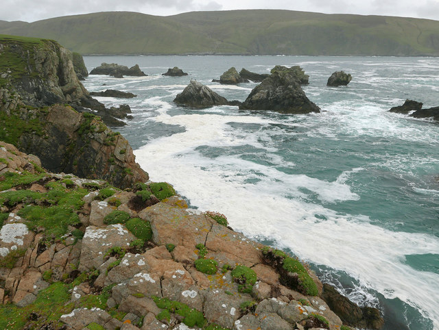
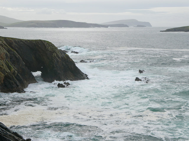
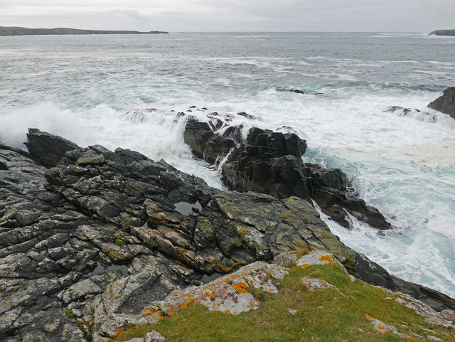
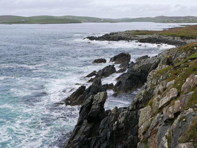
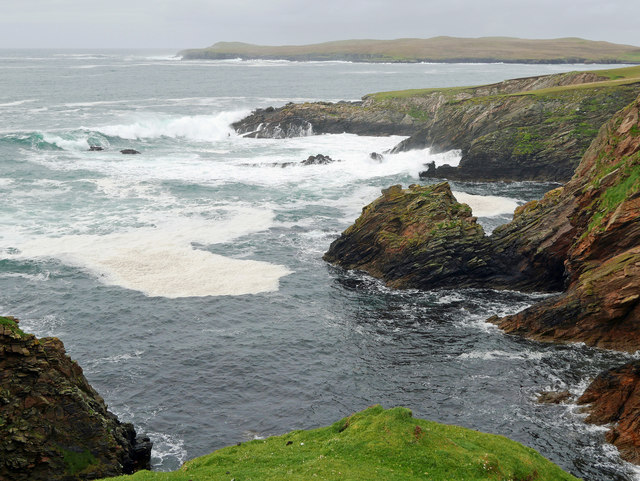
Situated on the eastern coast of the Shetland Mainland, Bannamans Geo is characterized by its rugged and dramatic cliffs, which rise steeply from the sea. The headland is composed of sedimentary rocks, primarily sandstone and shale, which have been shaped by erosion over thousands of years. The constant pounding of the waves has carved out caves, arches, and stacks along the coastline, creating a visually stunning landscape.
Bannamans Geo is also known for its rich biodiversity. The surrounding waters are teeming with marine life, including seals, dolphins, and various species of seabirds. The cliffs provide nesting sites for colonies of puffins, guillemots, and kittiwakes, making it a popular spot for birdwatchers.
Access to Bannamans Geo is relatively easy, with a well-maintained footpath leading to the headland. Visitors can enjoy breathtaking views of the sea and the surrounding coastline, as well as explore the unique geological formations. However, caution is advised when approaching the cliffs, as they can be unstable and dangerous.
Overall, Bannamans Geo is a must-visit for nature enthusiasts and those seeking to experience the beauty and power of the Shetland coastline. Its striking geological features, diverse wildlife, and stunning views make it a truly remarkable coastal attraction.
If you have any feedback on the listing, please let us know in the comments section below.
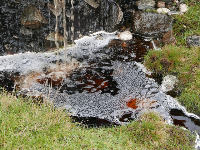
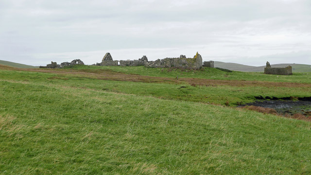
Bannamans Geo Images
Images are sourced within 2km of 60.051844/-1.3241182 or Grid Reference HU3729. Thanks to Geograph Open Source API. All images are credited.


Bannamans Geo is located at Grid Ref: HU3729 (Lat: 60.051844, Lng: -1.3241182)
Unitary Authority: Shetland Islands
Police Authority: Highlands and Islands
What 3 Words
///indeed.stags.kilowatt. Near Sandwick, Shetland Islands
Nearby Locations
Related Wikis

Burra, Shetland
Burra (Old Norse: Barrey ) is the collective name for two of the Shetland Islands, West (pop. 753) and East Burra (pop. 66), which are connected by bridge...

West Burra
West Burra is one of the Scalloway Islands, a subgroup of the Shetland Islands in Scotland. It is connected by bridge to East Burra. With an area of 743...

South Havra
South Havra (Scots: Sooth Haevra; Old Norse: Hafrey), formerly Hevera, is an uninhabited island in the Scalloway Islands, Shetland, Scotland. == Geography... ==

Scalloway Islands
The Scalloway Islands are in Shetland opposite Scalloway on south west of the Mainland. They form a mini-archipelago and include: Burra (two islands linked...

South Mainland
The South Mainland of the Shetland Islands is the southern peninsula of Mainland island. It lies south of Hellister (60° 14′N). The greater southern part...

Little Havra
Little Havra is a small island off the west of South Mainland in Shetland. It is 35 metres (115 ft) at its highest point, upon which there is a cairn....
East Burra
East Burra (Scots: East Burra; Old Norse: "Barrey") is one of the Scalloway Islands, a subgroup of the Shetland Islands in Scotland. It is connected by...

Bremirehoull
Bremirehoull is a settlement on the island of Mainland, in Shetland, Scotland. Bremirehoull is situated on the A970 in the Cunningsburgh area. == References... ==
Have you been to Bannamans Geo?
Leave your review of Bannamans Geo below (or comments, questions and feedback).