South Leog
Coastal Feature, Headland, Point in Shetland
Scotland
South Leog
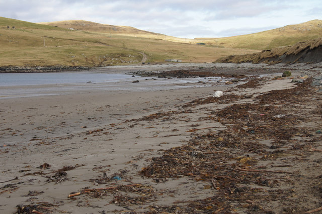
South Leog is a prominent coastal feature located in the Shetland Islands, an archipelago in Scotland, United Kingdom. It is classified as a headland, also referred to as a point due to its shape and geographical characteristics. South Leog is situated on the southernmost tip of the mainland of Shetland, overlooking the North Sea.
This headland is characterized by its rugged and rocky terrain, with sheer cliffs that extend upwards of 100 meters in height. The cliffs are composed of ancient sedimentary rocks, displaying distinct layers and providing a glimpse into the region's geological history. The exposed rocks are often adorned with various species of seabirds, including fulmars and kittiwakes, which nest in the steep cliff faces.
The coastline of South Leog is subjected to the constant pounding of the Atlantic Ocean, resulting in the formation of sea caves, arches, and stacks. These geological formations add to the dramatic beauty of the area, attracting visitors and nature enthusiasts alike.
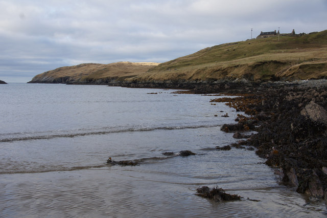
South Leog offers stunning panoramic views of the surrounding seascape, with clear visibility of nearby islands such as Muckle Roe and Papa Stour. On a clear day, it is even possible to catch a glimpse of the distant Fair Isle, located approximately 40 kilometers to the south.
The headland is accessible via a coastal footpath that winds along the cliffs, providing opportunities for hikers to explore the rugged terrain and appreciate the breathtaking vistas. However, caution must be exercised due to the steep and unstable nature of the cliffs.
In summary, South Leog is a striking headland situated on the southernmost tip of the Shetland mainland. Its rugged cliffs, geological formations, and panoramic views make it a captivating coastal feature and a popular destination for nature lovers.
If you have any feedback on the listing, please let us know in the comments section below.
South Leog Images
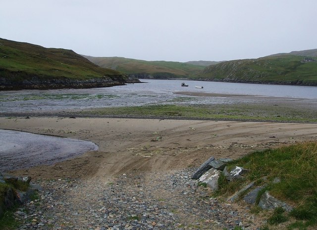
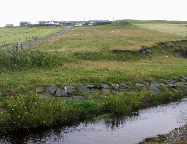
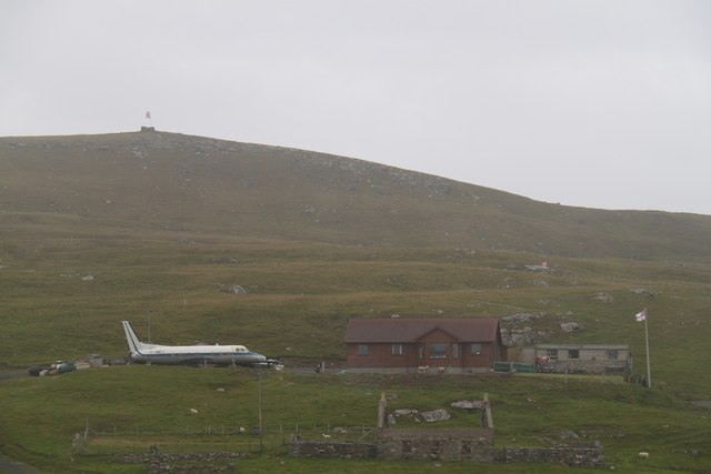
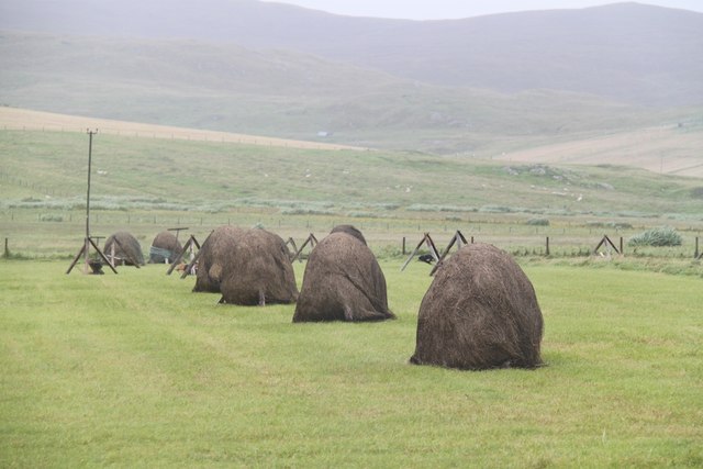
Images are sourced within 2km of 60.58654/-1.3195531 or Grid Reference HU3789. Thanks to Geograph Open Source API. All images are credited.
South Leog is located at Grid Ref: HU3789 (Lat: 60.58654, Lng: -1.3195531)
Unitary Authority: Shetland Islands
Police Authority: Highlands and Islands
What 3 Words
///winters.feasted.wicked. Near Ulsta, Shetland Islands
Nearby Locations
Related Wikis

North Roe
North Roe is a village, and protected area at the northern tip in the large Northmavine peninsula of the Mainland of Shetland, Scotland. It is a small...

Muckle Holm, Yell Sound
Muckle Holm is a small island in Shetland. It is in Yell Sound, near the Northmavine. It is 23 metres (75 ft) at its highest point. There is a lighthouse...

Yell Sound
Yell Sound is the strait running between Yell and Mainland, Shetland, Scotland. It is the boundary between the Mainland and the North Isles and it contains...

Little Holm, Yell Sound
Little Holm is a small island in Yell Sound, in Shetland, Scotland. It lies between Northmavine and the island of Yell. There is a lighthouse here. In...

Fethaland
Fethaland or Fedeland (pronounced [ˈfeɪdələnd]) is an abandoned settlement at the extreme north end of Mainland, Shetland. It was the site of the largest...

Uyea, Northmavine
Uyea (Scots: Öya in Shetland dialect spelling) is an uninhabited tidal island located to the northwest of Mainland, Shetland. Uyea lies off the Northmavine...

Gruney
Gruney is a small, uninhabited island in Shetland, Scotland. It lies north of the Northmavine peninsula of the Shetland Mainland, from which it is separated...

West Sandwick
West Sandwick is a settlement on the island of Yell, Shetland Islands, Scotland. It is one of the few settlements in the west of the island. West Sandwick...
Nearby Amenities
Located within 500m of 60.58654,-1.3195531Have you been to South Leog?
Leave your review of South Leog below (or comments, questions and feedback).