Black Middens

Coastal Feature, Headland, Point in Northumberland

England

Black Middens

Long Sands, Tynemouth
Long Sands, Tynemouth Credit: habiloid

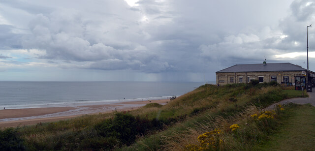
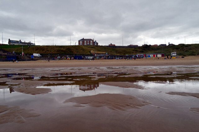
Black Middens is a prominent coastal feature located in Northumberland, England. Situated on the eastern coast of the country, it is specifically found on a headland or point that juts out into the North Sea. The name "Black Middens" refers to the dark, rocky outcrops that characterize this area.

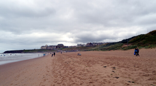
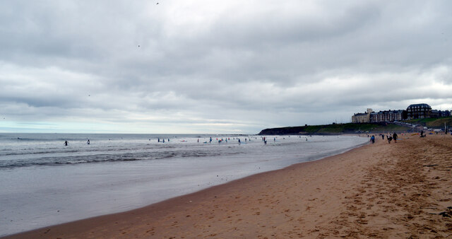
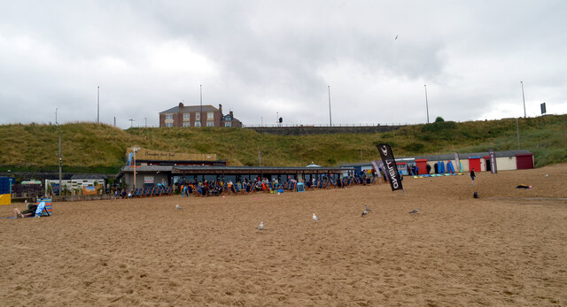
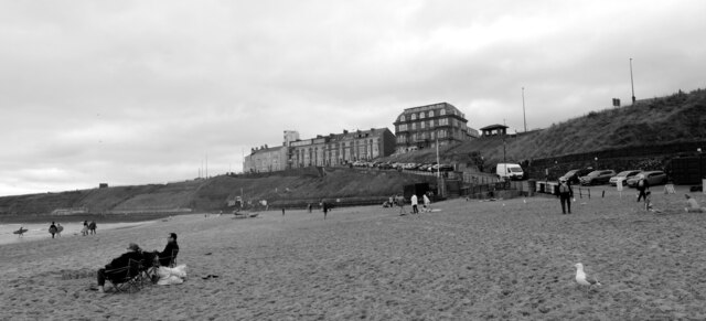
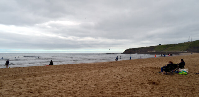
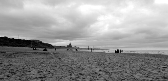
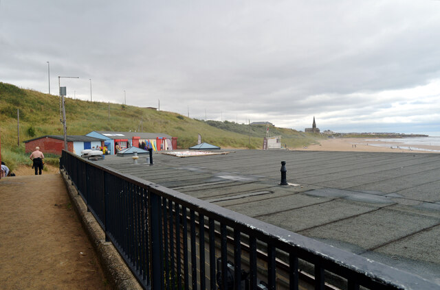
This coastal feature is known for its rugged and dramatic landscape. The headland boasts steep cliffs that rise up from the sea, providing visitors with breathtaking views of the coastline. The cliffs are composed of layered sedimentary rocks, giving them a distinctive appearance. The area is also home to several caves, which have been formed over thousands of years by the relentless pounding of the waves.

Black Middens is renowned for its rich geological and archaeological significance. Fossils from various geological periods have been discovered in the area, providing valuable insights into the prehistoric past. Additionally, numerous artifacts from ancient human settlements have been unearthed, indicating that the area has been inhabited for thousands of years.

In addition to its geological and archaeological importance, Black Middens is also a popular destination for outdoor enthusiasts. The headland offers opportunities for hiking, birdwatching, and photography. The rugged coastline attracts wildlife such as seabirds, seals, and dolphins, providing a diverse range of natural wonders to observe.

Overall, Black Middens is a captivating coastal feature that combines stunning natural beauty with a rich history. Its rugged cliffs, ancient caves, and archaeological treasures make it an unforgettable destination for visitors seeking to explore the diverse landscapes of Northumberland.

If you have any feedback on the listing, please let us know in the comments section below.

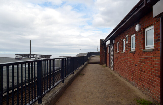
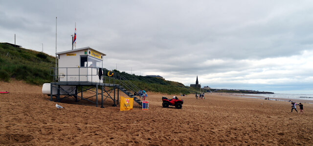
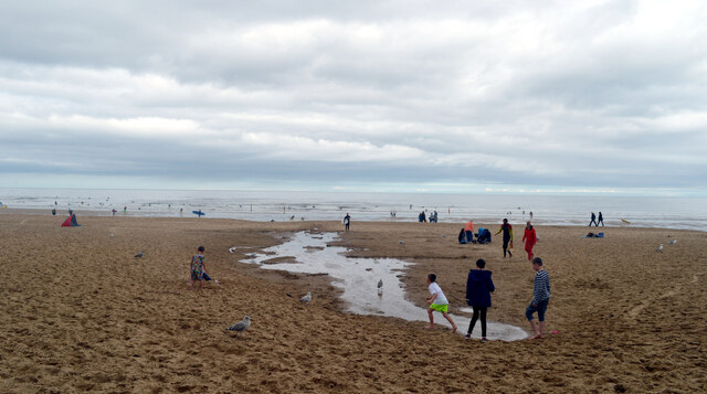
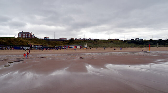
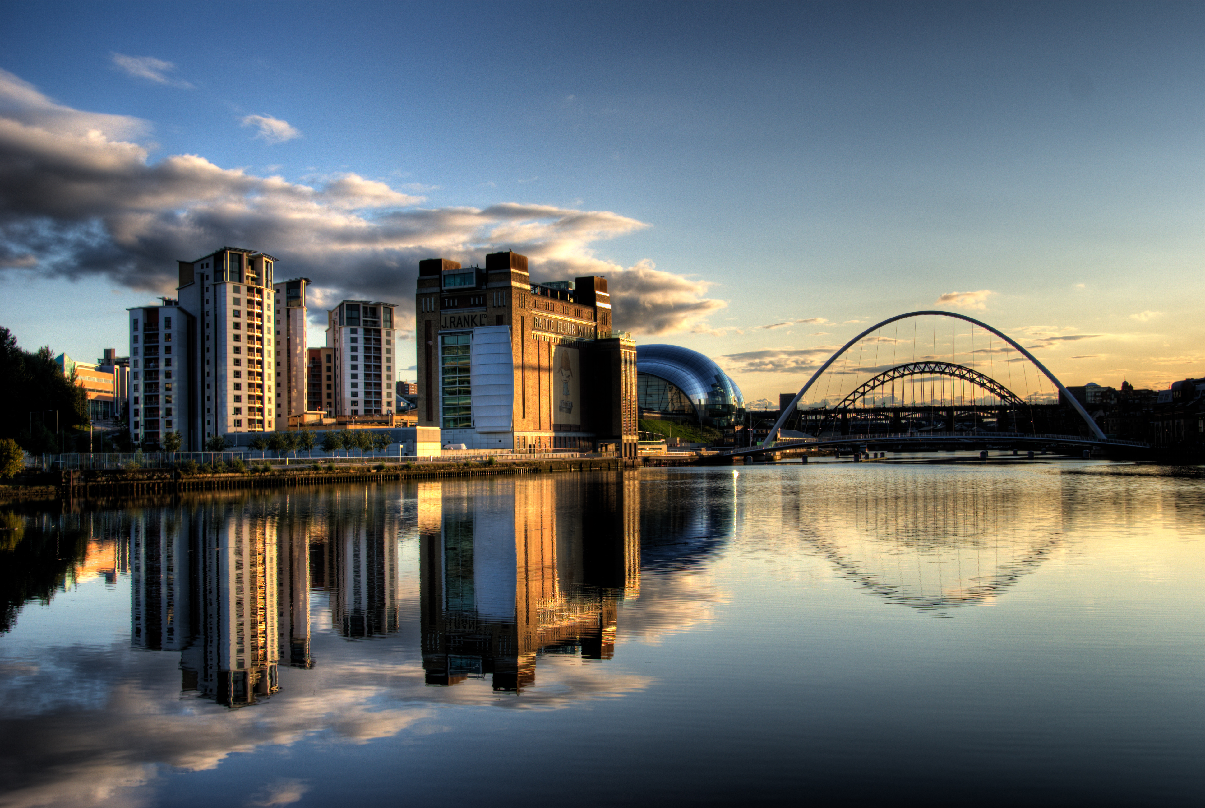
Black Middens Images

Images are sourced within 2km of 55.012371/-1.4217715 or Grid Reference NZ3768. Thanks to Geograph Open Source API. All images are credited.

Long Sands, Tynemouth
Grand Parade, Tynemouth St. Georges Church, Cullercoats is in the background.
Grand Parade, Tynemouth
St. Georges Church, Cullercoats is in the background.
Long Sands, Tynemouth
Grand Parade, Tynemouth
A view from Grand Parade, Tynemouth Long Sands and The Surf Cafe can be seen.
A view from Grand Parade, Tynemouth
Long Sands and The Surf Cafe can be seen.
Long Sands, Tynemouth
Crusoe's Cafe, Long Sands, Tynemouth
Long Sands, Tynemouth
Long Sands, Tynemouth St. George's Church, Cullercoats can be seen in the distance.
Long Sands, Tynemouth
St. George's Church, Cullercoats can be seen in the distance.
Behind Crusoe's Cafe, Long Sands, Tynemouth
Public Toilets, Long Sands, Tynemouth
Lifeguard Station, Long Sands, Tynemouth
Long Sands, Tynemouth
Show me another place!

Black Middens is located at Grid Ref: NZ3768 (Lat: 55.012371, Lng: -1.4217715)

Unitary Authority: North Tyneside

Police Authority: Northumbria

What 3 Words

///wide.shaky.crass. Near Tynemouth, Tyne & Wear

Related Wikis

Black Middens

The Black Middens is a reef at the mouth of the River Tyne in North East England, noted for the danger it poses to shipping. == Shipping hazard == The...

Collingwood Monument

The Collingwood Monument is a Grade II* listed monument in Tynemouth, England, dedicated to Vice Admiral Lord Cuthbert Collingwood. A Napoleonic-era admiral...

River Tyne

The River Tyne is a river in North East England. Its length (excluding tributaries) is 73 miles (118 km). It is formed by the North Tyne and the South...

Tyne Turrets

The Tyne Turrets were two 12-inch Mk VIII guns from the battleship HMS Illustrious, installed in Roberts Battery at Hartley, near Seaton Sluice north of...

Tynemouth

Tynemouth () is a coastal town in the metropolitan borough of North Tyneside, in Tyne and Wear, England. It is located on the north side of the mouth of...

Tynemouth Castle and Priory

Tynemouth Castle is located on a rocky headland (known as Pen Bal Crag), overlooking Tynemouth Pier. The moated castle-towers, gatehouse and keep are combined...

Kings Priory School

Kings Priory School is a mixed all-through school and sixth form located in Tynemouth, Tyne and Wear, England. The current principal is Mr Philip Sanderson...

Tynemouth Metro station

Tynemouth is a Tyne and Wear Metro station, serving the coastal town of Tynemouth, North Tyneside in Tyne and Wear, England. It joined the network as a...

Nearby Amenities

Located within 500m of 55.012371,-1.4217715
Give Way
Direction: forward
Lat/Long: 55.0164313/-1.419733
Source: PGS
Lat/Long: 55.0154788/-1.4165171
Source: PGS
Lat/Long: 55.015986/-1.417285
Barrier: cycle_barrier
Bicycle: yes
Lat/Long: 55.0145815/-1.4251158
Bench
Backrest: yes
Lat/Long: 55.0146508/-1.4171869
Bench
Backrest: yes
Lat/Long: 55.0145166/-1.4174472
Bench
Backrest: yes
Lat/Long: 55.0149708/-1.4171389
Bench
Backrest: yes
Lat/Long: 55.015169/-1.4167961
Clock
Display: analog
Source: survey
Support: wall_mounted
Visibility: street
Lat/Long: 55.0145443/-1.4286223
Man Made: tower
Source: survey
Tower Type: communication
Lat/Long: 55.0145604/-1.4283721
The Black Middens
Flickr: https://www.flickr.com/photos/sgwarnog/7426339864/
Historic: memorial
Openplaques Id: 10787
Operator: Metropolitan Borough of North Tyneside
Source: survey
Lat/Long: 55.0141374/-1.4190386
Bench
Backrest: yes
Lat/Long: 55.0144911/-1.4176703
Bench
Backrest: yes
Lat/Long: 55.0144916/-1.4177569
Bench
Backrest: yes
Lat/Long: 55.014534/-1.4173685
Bench
Backrest: yes
Lat/Long: 55.0145355/-1.4173105
Bench
Backrest: yes
Lat/Long: 55.014629/-1.4172063
Bench
Backrest: yes
Lat/Long: 55.0147736/-1.4171626
Bench
Backrest: yes
Lat/Long: 55.0148531/-1.4171676
Bench
Backrest: yes
Lat/Long: 55.0148883/-1.417166
Bench
Backrest: yes
Lat/Long: 55.0149254/-1.4171609
Bench
Backrest: yes
Lat/Long: 55.0149394/-1.4171399
Bench
Backrest: yes
Lat/Long: 55.0150561/-1.4171476
Bench
Backrest: yes
Lat/Long: 55.0151101/-1.4167912
Bench
Backrest: yes
Lat/Long: 55.0151371/-1.4167979
Bench
Backrest: yes
Lat/Long: 55.0151969/-1.416776
Bench
Backrest: yes
Lat/Long: 55.0152229/-1.4167525
Bench
Backrest: yes
Lat/Long: 55.0152489/-1.4167222
Spanish Battery
Historic: yes
Lat/Long: 55.0149197/-1.4172956
Post Box
Ref: NE30 6
Lat/Long: 55.0154832/-1.4252128
Life Ring
Emergency: life_ring
Lat/Long: 55.014057/-1.425454
Life Ring
Emergency: life_ring
Lat/Long: 55.0141007/-1.4192003
Life Ring
Emergency: life_ring
Lat/Long: 55.0136155/-1.4282328
Life Ring
Emergency: life_ring
Lat/Long: 55.0137887/-1.4227438
Bench
Backrest: yes
Lat/Long: 55.0138406/-1.4226712
Bench
Backrest: yes
Lat/Long: 55.0140612/-1.419868
Bench
Backrest: yes
Lat/Long: 55.0139612/-1.4208413
Bench
Backrest: yes
Lat/Long: 55.0141702/-1.4190866
Bench
Backrest: yes
Lat/Long: 55.0138542/-1.4221774
Bench
Backrest: yes
Lat/Long: 55.0139684/-1.4207477
Bench
Backrest: yes
Lat/Long: 55.0139222/-1.4212211
Watch House Museum
Fixme: Clarify position
Operator: Tynemouth Volunteer Life Brigade
Tourism: museum
Website: https://tvlb.org/the-watch-house-museum/
Wikidata: Q113369719
Lat/Long: 55.0147131/-1.4190187
Parking
Lat/Long: 55.0148815/-1.4185788
Parking
Access: private
Lat/Long: 55.0152637/-1.4187384
Board Type: history
Fixme: Add name
Information: board
Tourism: information
Lat/Long: 55.0140826/-1.4197643
C2C Finishing Point
Bicycle: yes
Image: https://www.geograph.org.uk/photo/1745575
Information: guidepost
Tourism: information
Lat/Long: 55.0143033/-1.4181121
Noexit: yes
Lat/Long: 55.0142072/-1.4183682
The data included in this document is from www.openstreetmap.org. The data is made available under ODbL.

Have you been to Black Middens?

Leave your review of Black Middens below (or comments, questions and feedback).